Twelve Acre Copse

Wood, Forest in Devon Mid Devon

England

Twelve Acre Copse

Field beside Webber Lane (Two Moors Way) There are several plantations in the valley below the field
Field beside Webber Lane (Two Moors Way) Credit: David Smith

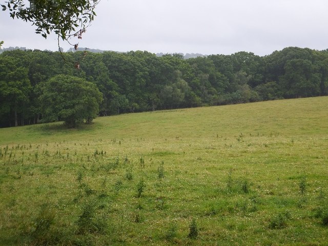
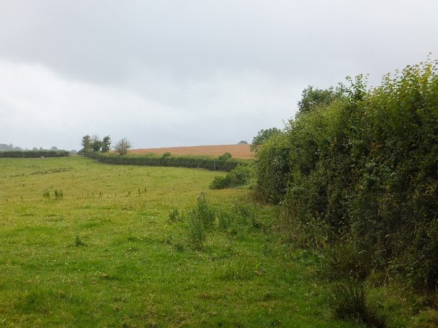
Twelve Acre Copse is a picturesque woodland located in the county of Devon, England. Covering an area of approximately twelve acres, this copse is a haven for nature lovers and outdoor enthusiasts.

The copse is characterized by its dense and diverse collection of trees, including oak, beech, and ash. These towering trees provide a refreshing canopy of shade, creating a cool and tranquil atmosphere within the copse. The forest floor is adorned with a colorful carpet of wildflowers during the spring and summer months, adding to the copse's natural beauty.

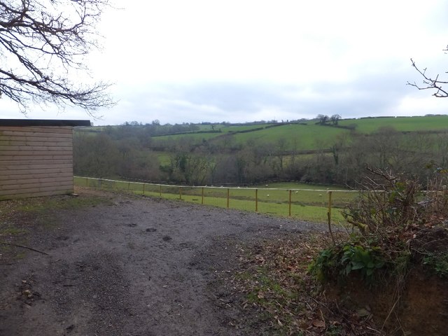
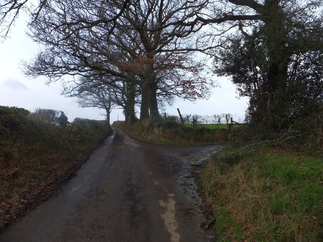
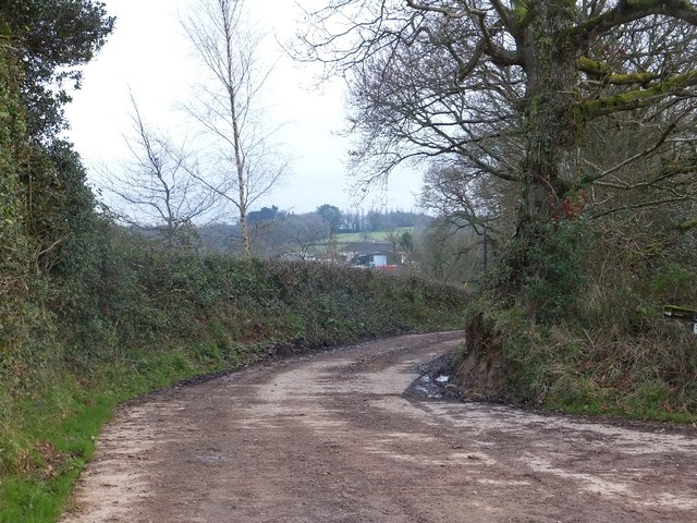
A network of well-maintained footpaths winds its way through Twelve Acre Copse, allowing visitors to explore the woodland at their own pace. These paths are perfect for leisurely walks or more adventurous hikes, offering stunning views of the surrounding countryside.

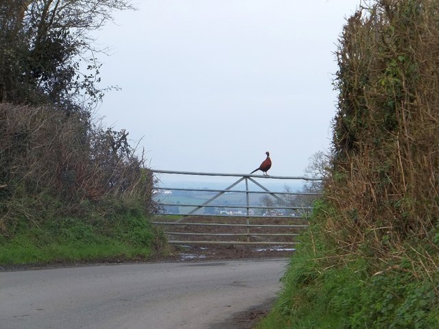
The copse is also home to a wide variety of wildlife, making it a popular destination for birdwatchers and nature photographers. Visitors may spot species such as woodpeckers, nuthatches, and tawny owls, among others. The copse's tranquil environment provides a peaceful habitat for these creatures, making it an ideal spot for observing them in their natural habitat.

Twelve Acre Copse is easily accessible to visitors, with a well-maintained car park located nearby. The copse is open to the public year-round, with no admission fee, making it an affordable and enjoyable day out for all. Whether one seeks tranquility, a connection with nature, or simply a beautiful place to explore, Twelve Acre Copse offers an idyllic woodland experience in the heart of Devon.

If you have any feedback on the listing, please let us know in the comments section below.

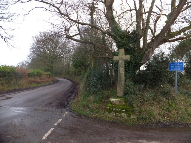
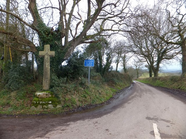
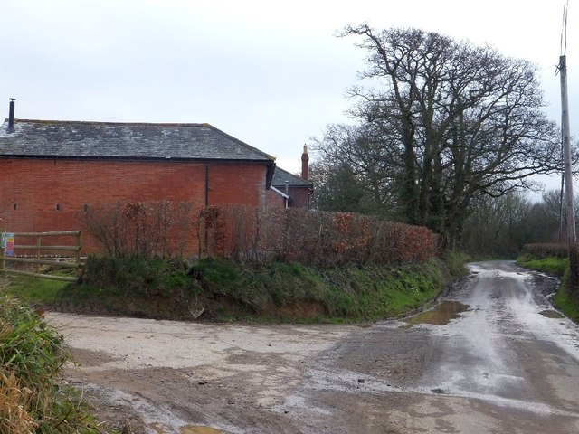
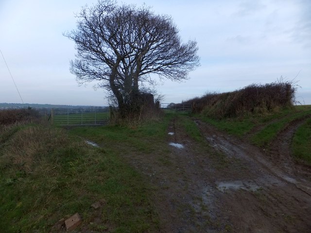
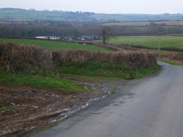
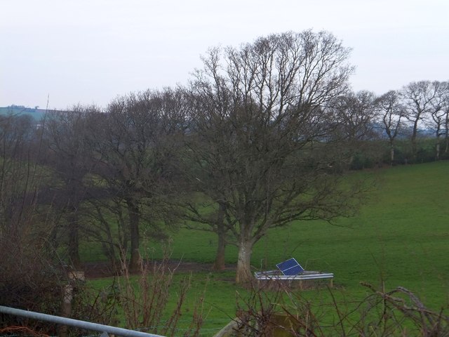
Twelve Acre Copse Images

Images are sourced within 2km of 50.773861/-3.7934833 or Grid Reference SX7398. Thanks to Geograph Open Source API. All images are credited.

Field beside Webber Lane (Two Moors Way) There are several plantations in the valley below the field
Field beside Webber Lane (Two Moors Way)
There are several plantations in the valley below the field
Field beside Webber Lane (Two Moors Way)
Footbridge on Two Moors Way The bridge links two parts of Webber Lane
Footbridge on Two Moors Way
The bridge links two parts of Webber Lane
The stream through Oak Plantation A view from the footbridge <a href="https://www.geograph.org.uk/photo/2510730">SX7599 : Footbridge on Two Moors Way</a>
The stream through Oak Plantation
A view from the footbridge SX7599 : Footbridge on Two Moors Way
Webber Lane; part of Two Moors Way Also used as a farm track
Webber Lane; part of Two Moors Way
Also used as a farm track
The valley of the River Troney
Hedgebank at Huddishill Winter trees on the hedgebank on the climb out of the valley of the River Troney
Hedgebank at Huddishill
Winter trees on the hedgebank on the climb out of the valley of the River Troney
Hillerton Cross Grade 2 listed granite cross, probably dating from the 15th century
Hillerton Cross
Grade 2 listed granite cross, probably dating from the 15th century
Hillerton Cross The road south from here is marked as unsuitable for long vehicles.  It leads to Easton Cross <a href="https://www.geograph.org.uk/photo/3298385">SX7294 : Road to Bow at Easton Cross</a> where the other end of the unsuitable stretch has a similar warning sign.  The cross is grade 2 listed, probably 15th century
Hillerton Cross
The road south from here is marked as unsuitable for long vehicles. It leads to Easton Cross SX7294 : Road to Bow at Easton Cross where the other end of the unsuitable stretch has a similar warning sign. The cross is grade 2 listed, probably 15th century
Pheasant on a gate at Treedown Farm Beyond the gate, the land falls away towards Langford and Bow
Pheasant on a gate at Treedown Farm
Beyond the gate, the land falls away towards Langford and Bow
Spestos Lane at Hillerton This leads to Spestos Farmhouse, a grade 2 listed building
Spestos Lane at Hillerton
This leads to Spestos Farmhouse, a grade 2 listed building
Road passing Higher Treedown Farm
Three field entrances near Higher Treedown Farm These field gates are at a sharp turn in the road to Bow;  the line of the road would follow the central track along a ridge and field boundaries to the farm at Hilldown and the road beyond that.
Three field entrances near Higher Treedown Farm
These field gates are at a sharp turn in the road to Bow; the line of the road would follow the central track along a ridge and field boundaries to the farm at Hilldown and the road beyond that.
Hill dropping towards Langford Beyond the white buildings are trees that mark the line of the Crediton to Okehampton railway line, now used for freight and occasional passenger excursions.
Hill dropping towards Langford
Beyond the white buildings are trees that mark the line of the Crediton to Okehampton railway line, now used for freight and occasional passenger excursions.
Solar panel in a field This panel, in its protective fence close to the trees, is in the middle of a field.  The satellite view of the field shows a line of recent excavation running close to the panel, so it may provide energy for monitoring flow in an underground pipe
Solar panel in a field
This panel, in its protective fence close to the trees, is in the middle of a field. The satellite view of the field shows a line of recent excavation running close to the panel, so it may provide energy for monitoring flow in an underground pipe
Hillerton Cross
Hillerton Cross
Hillerton Cross
Hillerton Cross
Ford at Coltsfoot This ford on a tributary of the River Troney is found beside Hittisleigh Woods.
Ford at Coltsfoot
This ford on a tributary of the River Troney is found beside Hittisleigh Woods.
Show me another place!

Twelve Acre Copse is located at Grid Ref: SX7398 (Lat: 50.773861, Lng: -3.7934833)

Administrative County: Devon

District: Mid Devon

Police Authority: Devon and Cornwall

What 3 Words

///something.stunner.makes. Near Bow, Devon

Related Wikis

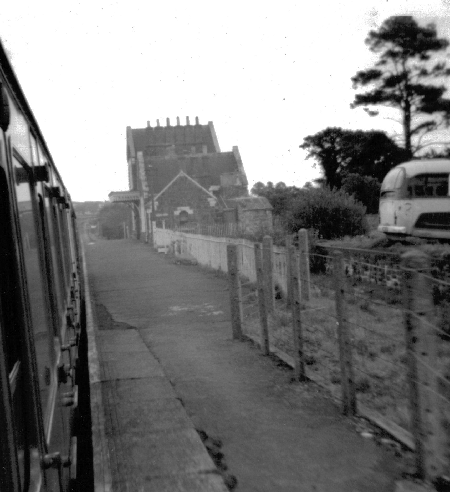
Bow railway station (Devon)

Bow railway station was a railway station serving the village of Bow and the hamlet of Nymet Tracy in Devon. Bow lies about 8 miles west of Crediton....

St Andrew's Church, Hittisleigh

St Andrew's Church, Hittisleigh, is an Anglican parish church in Hittisleigh in Mid Devon. It is listed Grade I on the National Heritage List for England...

Bow, Devon

Bow () is a village and civil parish in the Mid Devon district of Devon, England, about 8 miles (13 km) west of Crediton. According to the 2001 census...

Colebrooke, Devon

Colebrooke is a village and parish in Devon, England about 8 km west of Crediton. The main point of interest is the church and the connection to Henry...

Have you been to Twelve Acre Copse?

Leave your review of Twelve Acre Copse below (or comments, questions and feedback).