Little Hilldown Plantation
Wood, Forest in Devon Mid Devon
England
Little Hilldown Plantation
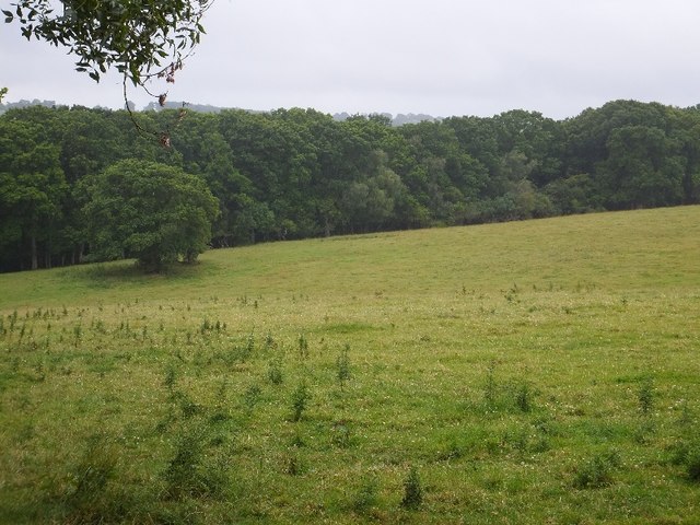
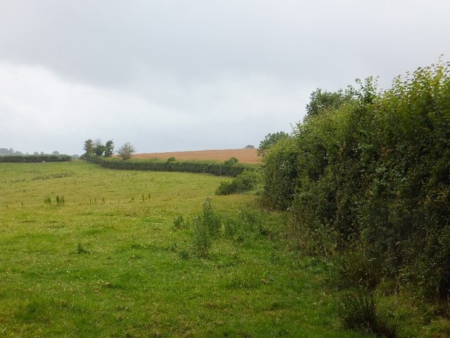
Little Hilldown Plantation is a charming woodland located in Devon, England. Situated in the heart of the county, this plantation covers a total area of approximately 100 acres, making it a perfect destination for nature enthusiasts and outdoor adventurers.
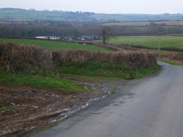
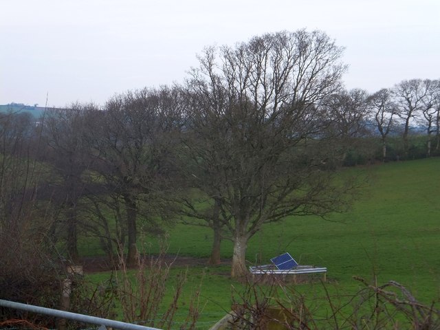
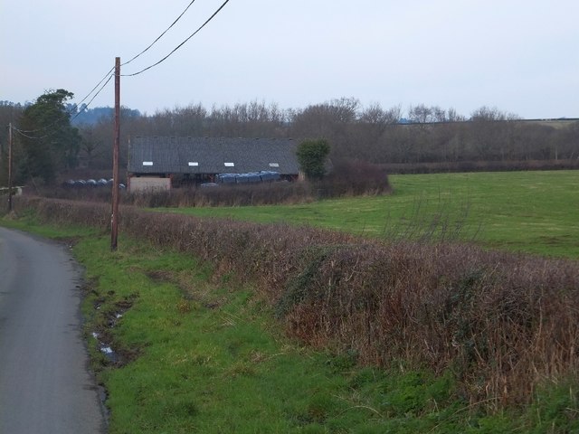
The plantation is predominantly made up of a mixture of deciduous and coniferous trees, creating a diverse and picturesque forest landscape. Towering oak, beech, and ash trees dominate the area, providing a dense canopy that offers shade and shelter to a wide range of flora and fauna.
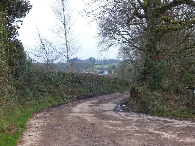
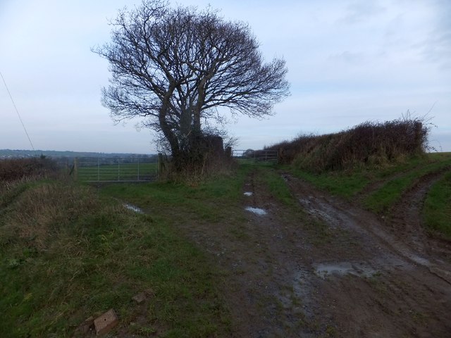
The woodland is crisscrossed with a network of well-maintained footpaths, inviting visitors to explore and immerse themselves in the tranquility of nature. These paths lead to various points of interest, such as a small lake and a meandering stream that adds to the plantation's natural charm.
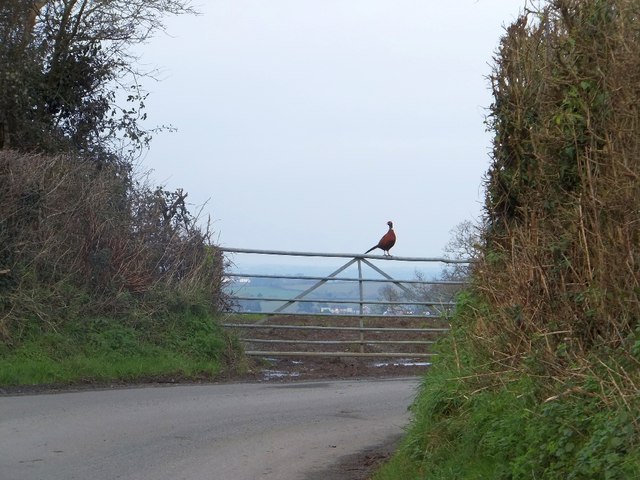
The plantation is home to a rich array of wildlife, including deer, squirrels, and numerous species of birds. Birdwatchers will delight in the opportunity to spot woodpeckers, owls, and other feathered inhabitants in their natural habitat.
Little Hilldown Plantation is not only a haven for wildlife, but also serves as an important conservation area. The management of the plantation focuses on sustainable practices, ensuring the preservation of the ecosystem and the long-term vitality of the woodland.
With its tranquil atmosphere and stunning natural beauty, Little Hilldown Plantation offers a peaceful retreat for individuals seeking solace in nature. Whether it's a leisurely stroll, birdwatching, or simply enjoying the serenity of the forest, this plantation promises a rejuvenating experience for all who visit.
If you have any feedback on the listing, please let us know in the comments section below.
Little Hilldown Plantation Images
Images are sourced within 2km of 50.775397/-3.7941803 or Grid Reference SX7398. Thanks to Geograph Open Source API. All images are credited.


Little Hilldown Plantation is located at Grid Ref: SX7398 (Lat: 50.775397, Lng: -3.7941803)
Administrative County: Devon
District: Mid Devon
Police Authority: Devon and Cornwall
What 3 Words
///coasters.acids.toenail. Near Bow, Devon
Nearby Locations
Related Wikis
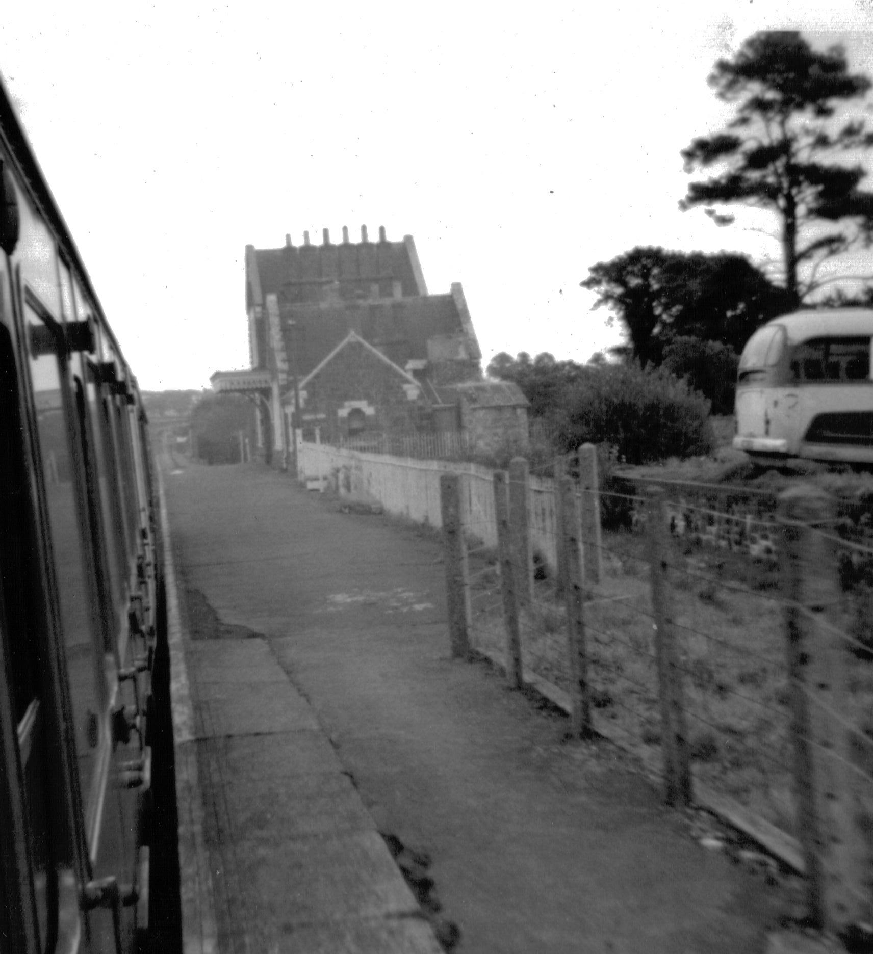
Bow railway station (Devon)
Bow railway station was a railway station serving the village of Bow and the hamlet of Nymet Tracy in Devon. Bow lies about 8 miles west of Crediton....

Bow, Devon
Bow () is a village and civil parish in the Mid Devon district of Devon, England, about 8 miles (13 km) west of Crediton. According to the 2001 census...

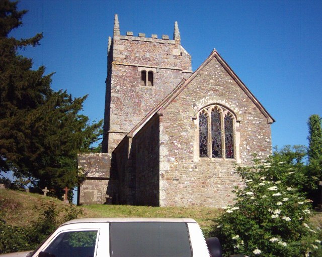
St Andrew's Church, Hittisleigh
St Andrew's Church, Hittisleigh, is an Anglican parish church in Hittisleigh in Mid Devon. It is listed Grade I on the National Heritage List for England...
Colebrooke, Devon
Colebrooke is a village and parish in Devon, England about 8 km west of Crediton. The main point of interest is the church and the connection to Henry...
Hittisleigh
Hittisleigh is a small rural parish and village just north-east of Dartmoor in Devon. Once part of the ancient district of the Wonford Hundred, it is now...
Clannaborough
Clannaborough is a parish in the county of Devon, England, situated about 5+1⁄2 miles north-west of the town of Crediton and 11 miles north-east of Okehampton...
Spreyton
Spreyton is a small rural village just north of Dartmoor in Devon, England. Spreyton is famous for its connection to the tale of “Old Uncle Tom Cobley...
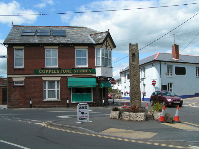
Copplestone
Copplestone (anciently Copelaston, Coplestone etc.) is a village, former manor and civil parish in Mid Devon in the English county of Devon. It is not...
Have you been to Little Hilldown Plantation?
Leave your review of Little Hilldown Plantation below (or comments, questions and feedback).