Middle Moor

Wood, Forest in Devon Mid Devon

England

Middle Moor

Field beside Webber Lane (Two Moors Way) There are several plantations in the valley below the field
Field beside Webber Lane (Two Moors Way) Credit: David Smith

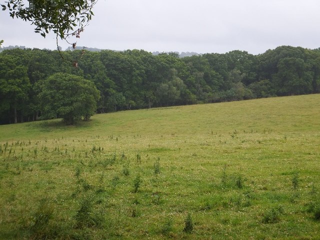
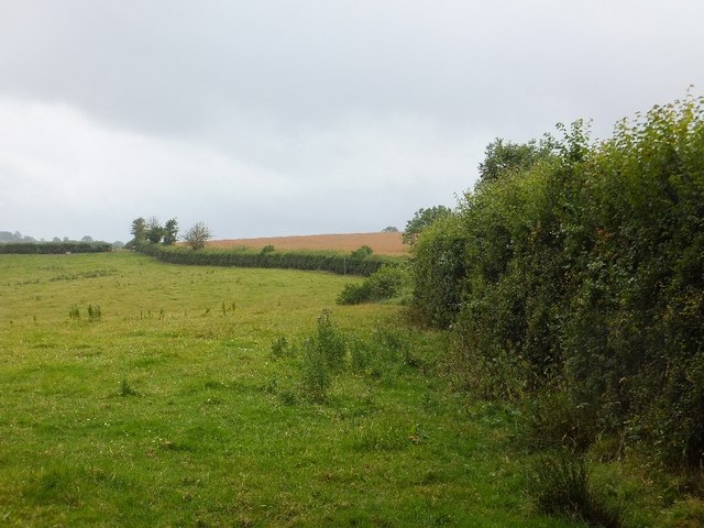
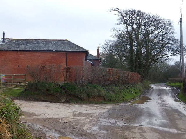
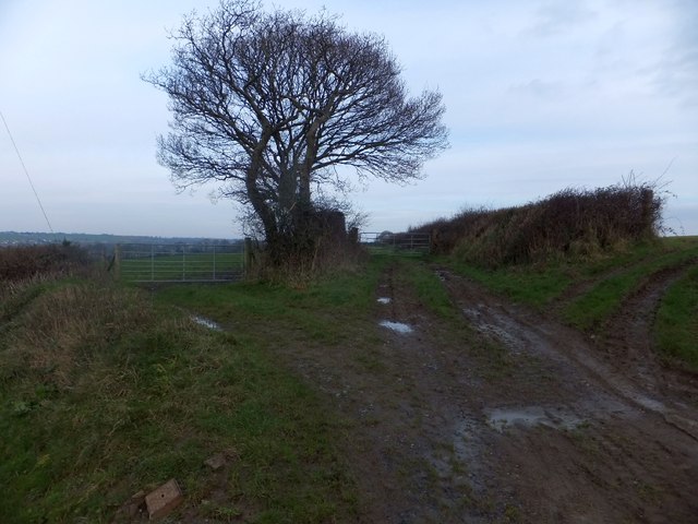
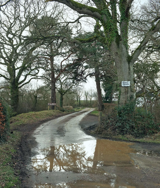
Middle Moor is a picturesque woodland area located in the county of Devon, England. Situated near the small village of Wood, it is often referred to as Middle Moor, Devon. This enchanting forest covers an area of approximately 100 hectares and is known for its stunning natural beauty and diverse flora and fauna.

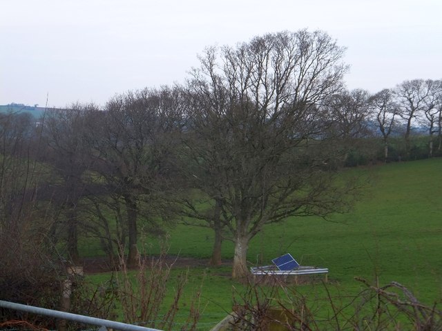
The woodland is primarily composed of broad-leaved trees, such as oak, beech, and ash, which create a dense canopy that filters the sunlight, casting a magical glow over the forest floor. The undergrowth is rich and varied, with ferns, mosses, and wildflowers carpeting the forest floor.

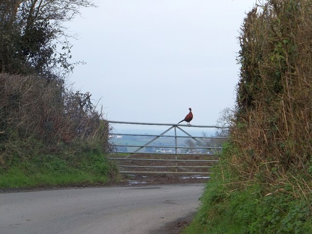
Middle Moor is home to a wide range of wildlife, including several species of birds, such as woodpeckers, owls, and songbirds. It is also a habitat for various mammals, including deer, foxes, and badgers. The forest provides a sanctuary for these creatures, offering shelter and a source of food.

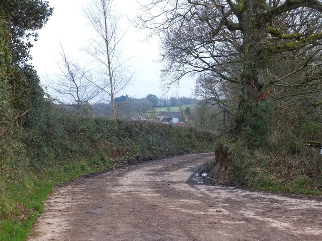
The area is a popular destination for nature enthusiasts and hikers, who can explore the numerous walking trails that wind their way through the forest. These trails offer breathtaking views of the surrounding countryside and provide an opportunity to immerse oneself in the tranquility of nature.

In addition to its natural beauty, Middle Moor also has historical significance. It is believed to have been inhabited by humans since ancient times, and there are remnants of ancient settlements and burial mounds scattered throughout the woodland.

Overall, Middle Moor, Devon is a captivating woodland that showcases the beauty of the English countryside. With its lush vegetation, diverse wildlife, and rich history, it is a must-visit destination for anyone seeking a peaceful retreat in nature.

If you have any feedback on the listing, please let us know in the comments section below.
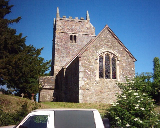
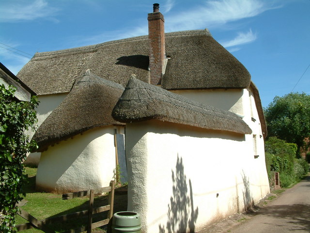
Middle Moor Images

Images are sourced within 2km of 50.775001/-3.7889172 or Grid Reference SX7398. Thanks to Geograph Open Source API. All images are credited.

Field beside Webber Lane (Two Moors Way) There are several plantations in the valley below the field
Field beside Webber Lane (Two Moors Way)
There are several plantations in the valley below the field
Field beside Webber Lane (Two Moors Way)
Footbridge on Two Moors Way The bridge links two parts of Webber Lane
Footbridge on Two Moors Way
The bridge links two parts of Webber Lane
The stream through Oak Plantation A view from the footbridge <a href="https://www.geograph.org.uk/photo/2510730">SX7599 : Footbridge on Two Moors Way</a>
The stream through Oak Plantation
A view from the footbridge SX7599 : Footbridge on Two Moors Way
Webber Lane; part of Two Moors Way Also used as a farm track
Webber Lane; part of Two Moors Way
Also used as a farm track
Pheasant on a gate at Treedown Farm Beyond the gate, the land falls away towards Langford and Bow
Pheasant on a gate at Treedown Farm
Beyond the gate, the land falls away towards Langford and Bow
Spestos Lane at Hillerton This leads to Spestos Farmhouse, a grade 2 listed building
Spestos Lane at Hillerton
This leads to Spestos Farmhouse, a grade 2 listed building
Road passing Higher Treedown Farm
Three field entrances near Higher Treedown Farm These field gates are at a sharp turn in the road to Bow;  the line of the road would follow the central track along a ridge and field boundaries to the farm at Hilldown and the road beyond that.
Three field entrances near Higher Treedown Farm
These field gates are at a sharp turn in the road to Bow; the line of the road would follow the central track along a ridge and field boundaries to the farm at Hilldown and the road beyond that.
Solar panel in a field This panel, in its protective fence close to the trees, is in the middle of a field.  The satellite view of the field shows a line of recent excavation running close to the panel, so it may provide energy for monitoring flow in an underground pipe
Solar panel in a field
This panel, in its protective fence close to the trees, is in the middle of a field. The satellite view of the field shows a line of recent excavation running close to the panel, so it may provide energy for monitoring flow in an underground pipe
Ford at Coltsfoot This ford on a tributary of the River Troney is found beside Hittisleigh Woods.
Ford at Coltsfoot
This ford on a tributary of the River Troney is found beside Hittisleigh Woods.
Lane near Coltsfoot Farm The lane shown in <a href="https://www.geograph.org.uk/photo/348403">SX7497 : Hittisleigh: lane near Coltsfoot Farm</a>, seen from the turning into the farm.
Lane near Coltsfoot Farm
The lane shown in SX7497 : Hittisleigh: lane near Coltsfoot Farm, seen from the turning into the farm.
Reflected house, Hillerton A puddle on the road east from Hillerton Cross reflects the lodge to Hillerton House.
Reflected house, Hillerton
A puddle on the road east from Hillerton Cross reflects the lodge to Hillerton House.
Former Coombe Head Chapel The redundant chapel is undergoing conversion to a dwelling. The gravestones will be kept in position.
Former Coombe Head Chapel
The redundant chapel is undergoing conversion to a dwelling. The gravestones will be kept in position.
Snow by the lane through Common Plantation Several huge piles of snow remain along the roadside, doubtless a legacy of a snowplough's endeavours in the previous few days.
Snow by the lane through Common Plantation
Several huge piles of snow remain along the roadside, doubtless a legacy of a snowplough's endeavours in the previous few days.
Entrance to Great Wotton A detail of the scene in <a href="https://www.geograph.org.uk/photo/1723062">SX7598 : Entrance to Great Wotton</a>; the gate is wide open or has been removed, though there is no right of way. The accompanying stretch of lane, off to the right from this image, is used by the Two Moors Way. See also <a href="https://www.geograph.org.uk/photo/202120">SX7598 : Colebrooke: entrance to Great Wotton</a> for a summer view; here the heavy snow from the previous week has recently melted.
Entrance to Great Wotton
A detail of the scene in SX7598 : Entrance to Great Wotton; the gate is wide open or has been removed, though there is no right of way. The accompanying stretch of lane, off to the right from this image, is used by the Two Moors Way. See also SX7598 : Colebrooke: entrance to Great Wotton for a summer view; here the heavy snow from the previous week has recently melted.
Tucker's Plot Apart from the roadside belt of trees seen in <a href="https://www.geograph.org.uk/photo/1893519">SX7599 : Lane past Tucker's Plot</a>, and trees around the border, the wood has been felled.

Strips of white in the distance are lines of snow remaining from drifts created by easterly winds against field boundaries.
Tucker's Plot
Apart from the roadside belt of trees seen in SX7599 : Lane past Tucker's Plot, and trees around the border, the wood has been felled. Strips of white in the distance are lines of snow remaining from drifts created by easterly winds against field boundaries.
Tree-lined lane, Hillerton <a href="https://www.geograph.org.uk/photo/5700033">SX7298 : Reflected house, Hillerton</a> is a detail of this view.
Tree-lined lane, Hillerton
SX7298 : Reflected house, Hillerton is a detail of this view.
Show me another place!

Middle Moor is located at Grid Ref: SX7398 (Lat: 50.775001, Lng: -3.7889172)

Administrative County: Devon

District: Mid Devon

Police Authority: Devon and Cornwall

What 3 Words

///stickler.lottery.gadgets. Near Bow, Devon

Related Wikis

Bow railway station (Devon)

Bow railway station was a railway station serving the village of Bow and the hamlet of Nymet Tracy in Devon. Bow lies about 8 miles west of Crediton....

Colebrooke, Devon

Colebrooke is a village and parish in Devon, England about 8 km west of Crediton. The main point of interest is the church and the connection to Henry...

Bow, Devon

Bow () is a village and civil parish in the Mid Devon district of Devon, England, about 8 miles (13 km) west of Crediton. According to the 2001 census...

St Andrew's Church, Hittisleigh

St Andrew's Church, Hittisleigh, is an Anglican parish church in Hittisleigh in Mid Devon. It is listed Grade I on the National Heritage List for England...

Hittisleigh

Hittisleigh is a small rural parish and village just north-east of Dartmoor in Devon. Once part of the ancient district of the Wonford Hundred, it is now...

Clannaborough

Clannaborough is a parish in the county of Devon, England, situated about 5+1⁄2 miles north-west of the town of Crediton and 11 miles north-east of Okehampton...

Penstone

Penstone is a hamlet of some 21 houses in Devon, England, about 1 mile (2 km) from the villages of Colebrooke and Coleford, close to the point where the...
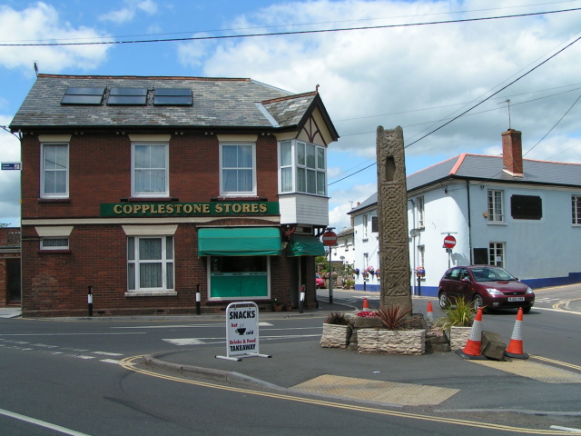
Copplestone

Copplestone (anciently Copelaston, Coplestone etc.) is a village, former manor and civil parish in Mid Devon in the English county of Devon. It is not...

Have you been to Middle Moor?

Leave your review of Middle Moor below (or comments, questions and feedback).