Northern Copse

Wood, Forest in Devon North Devon

England

Northern Copse

Meshaw: hedge laying On the back lane between Meshaw church and the site of Meshaw Mill
Meshaw: hedge laying Credit: Martin Bodman

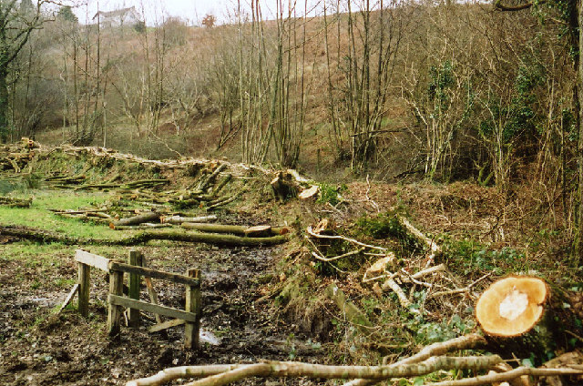
Northern Copse is a picturesque wood located in Devon, England. Situated in the northern part of the county, it covers an area of approximately 50 acres and is known for its dense forest and natural beauty. The copse is a popular destination for nature enthusiasts, hikers, and birdwatchers.

The wood is predominantly composed of deciduous trees such as oak, beech, and ash, creating a vibrant and colorful landscape throughout the year. The dense foliage provides a habitat for a diverse range of wildlife, including various bird species, small mammals, and insects. Birdwatchers often visit Northern Copse to spot notable species such as woodpeckers, owls, and kingfishers.

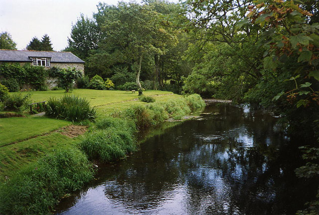
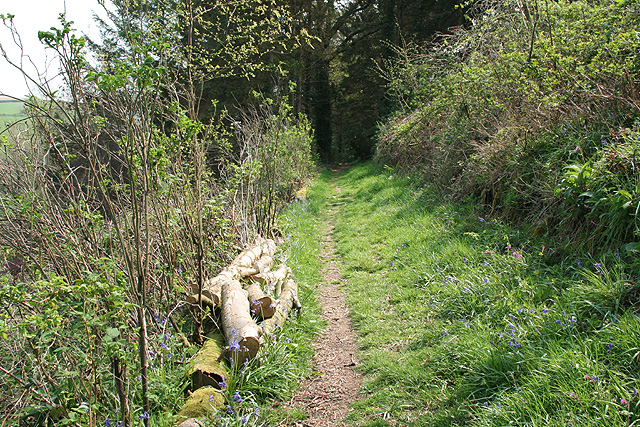
Numerous walking trails wind through the wood, allowing visitors to explore its hidden gems. These paths offer different levels of difficulty, catering to both casual strollers and more experienced hikers. Along the way, explorers may come across babbling brooks, charming clearings, and enchanting wildflower meadows.

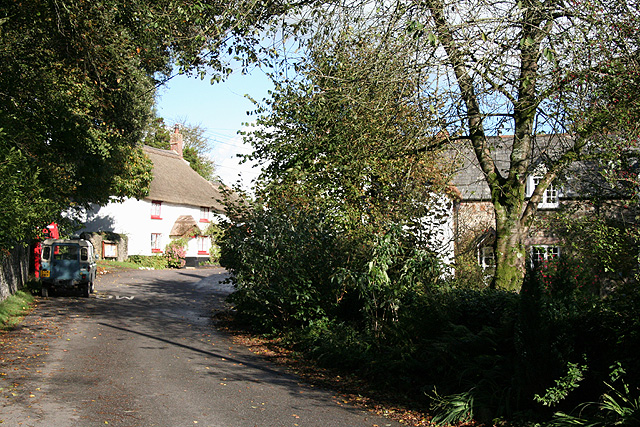
Northern Copse also has a rich cultural history. It is believed to have been used as a hunting ground during medieval times and has remnants of ancient stone walls and earthworks. These historical features add an extra layer of intrigue and make the wood an appealing destination for history enthusiasts.

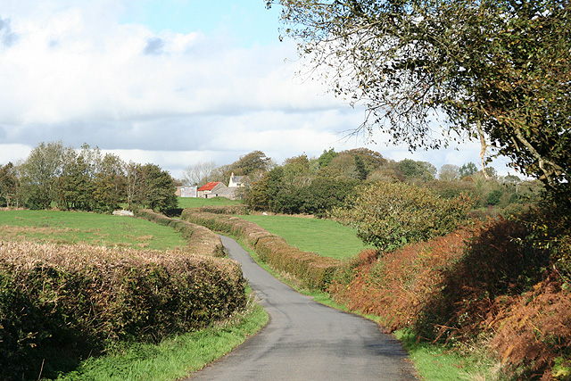
Overall, Northern Copse offers a tranquil and captivating escape from the hustle and bustle of everyday life. Its natural beauty, diverse wildlife, and historical significance make it a must-visit destination for both locals and tourists alike.

If you have any feedback on the listing, please let us know in the comments section below.

Northern Copse Images

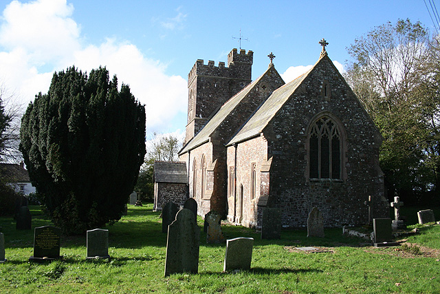
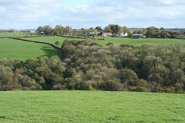
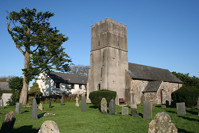
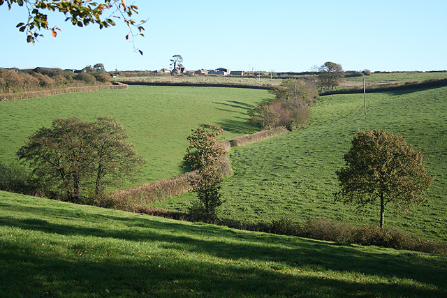
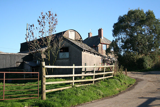
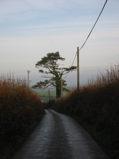
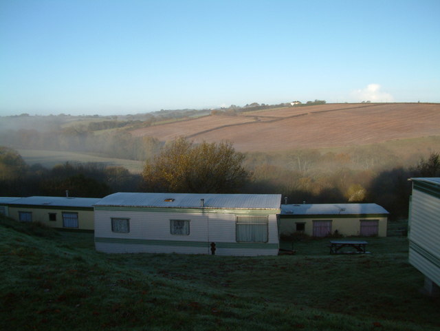
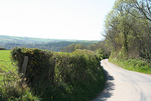
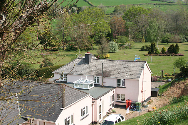
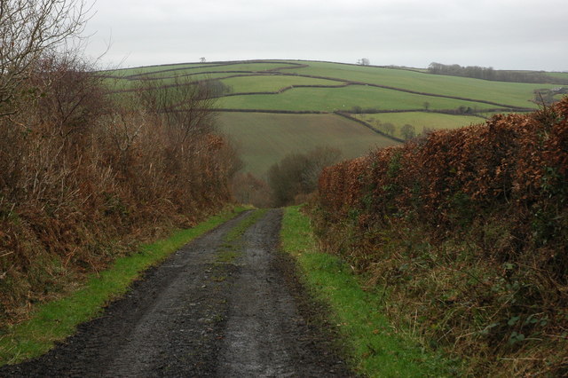
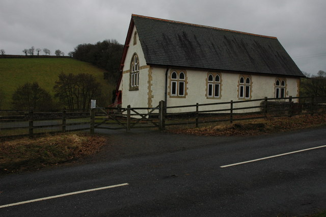
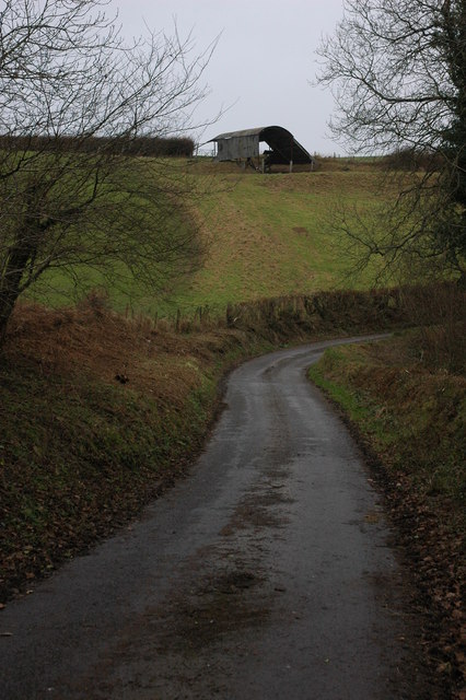
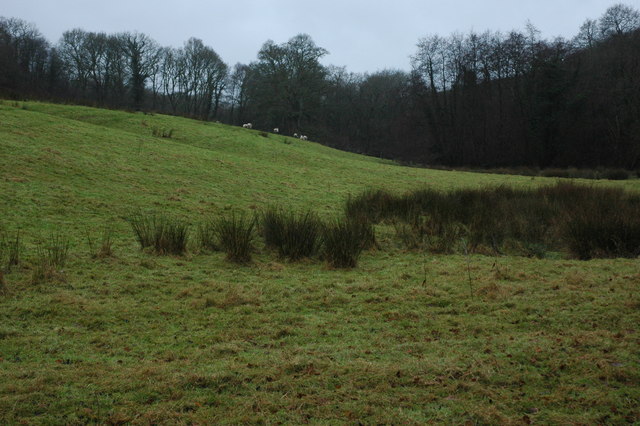
Images are sourced within 2km of 50.97362/-3.8011128 or Grid Reference SS7320. Thanks to Geograph Open Source API. All images are credited.

Meshaw: hedge laying On the back lane between Meshaw church and the site of Meshaw Mill
Meshaw: hedge laying
On the back lane between Meshaw church and the site of Meshaw Mill
Mariansleigh: River Mole at Alswear Three parishes meet here: beyond the bend the river runs into King’s Nympton and the right bank is in Queen’s Nympton
Mariansleigh: River Mole at Alswear
Three parishes meet here: beyond the bend the river runs into King’s Nympton and the right bank is in Queen’s Nympton
Romansleigh: towards the village Looking north on the lane from Beacon Cross
Romansleigh: towards the village
Looking north on the lane from Beacon Cross
Romansleigh: the village Looking north east with the entrance to the church beyond the phone box and Land Rover. Honeysuckle Cottage is on the left, past the church gate, and Glebe Cottage on the right
Romansleigh: the village
Looking north east with the entrance to the church beyond the phone box and Land Rover. Honeysuckle Cottage is on the left, past the church gate, and Glebe Cottage on the right
Romansleigh: St Rumon’s church The church was rebuilt in 1868 but is dedicated to a Celtic saint. Looking west
Romansleigh: St Rumon’s church
The church was rebuilt in 1868 but is dedicated to a Celtic saint. Looking west
King’s Nympton: towards Romansleigh Romansleigh is a small village – almost a hamlet – on a hill beyond this square. St Rumon’s church stands amongst trees. Looking east-south-east
King’s Nympton: towards Romansleigh
Romansleigh is a small village – almost a hamlet – on a hill beyond this square. St Rumon’s church stands amongst trees. Looking east-south-east
Mariansleigh: St Mary’s church The village name suggests the original dedication was to St Marina and this may have been lost at the Reformation. Looking north east
Mariansleigh: St Mary’s church
The village name suggests the original dedication was to St Marina and this may have been lost at the Reformation. Looking north east
Mariansleigh: towards Upcott Looking south east across a valley south of Mariansleigh village. Upcott is on the skyline
Mariansleigh: towards Upcott
Looking south east across a valley south of Mariansleigh village. Upcott is on the skyline
Mariansleigh: Lower Upcott Looking east-south-east
Mariansleigh: Lower Upcott
Looking east-south-east
Scots Pine mark tree at Uppacott This tree is a landmark visible from miles around. Scots Pine trees were planted to mark farmsteads and drovers routes in the past.
Scots Pine mark tree at Uppacott
This tree is a landmark visible from miles around. Scots Pine trees were planted to mark farmsteads and drovers routes in the past.
Early morning caravans Photographed from the top of Romansleigh Holiday park looking down onto caravans dropping lower on this tiered site.
Early morning caravans
Photographed from the top of Romansleigh Holiday park looking down onto caravans dropping lower on this tiered site.
Mariansleigh: lane to Alswear Looking west-north-west
Mariansleigh: lane to Alswear
Looking west-north-west
King’s Nympton: overlooking New Mill New Mill, now a private house, seen from a public footpath on its boundary. This was the lowest watermill on the Little Silver Stream, a tributary of the Mole. Looking east-south-east
King’s Nympton: overlooking New Mill
New Mill, now a private house, seen from a public footpath on its boundary. This was the lowest watermill on the Little Silver Stream, a tributary of the Mole. Looking east-south-east
King’s Nympton: footpath above New Mill The path runs up the Little Silver valley to Kempstown and Romansleigh. Looking south east
King’s Nympton: footpath above New Mill
The path runs up the Little Silver valley to Kempstown and Romansleigh. Looking south east
Oxham Lane, Romansleigh Oxham Lane is a track from the village of Romansleigh to the valley through which the poetically named Little Silver Stream flows. Across the valley the pattern of fields to the south of Westacott Farm can be seen on the hillside.
Oxham Lane, Romansleigh
Oxham Lane is a track from the village of Romansleigh to the valley through which the poetically named Little Silver Stream flows. Across the valley the pattern of fields to the south of Westacott Farm can be seen on the hillside.
Parish Hall, near Mariansleigh Hall on the side of the B3137 in the valley between Romansleigh and Mariansleigh.
Parish Hall, near Mariansleigh
Hall on the side of the B3137 in the valley between Romansleigh and Mariansleigh.
Barn near Mariansleigh Barn in a field above Middle Wood to the west of Mariansleigh.
Barn near Mariansleigh
Barn in a field above Middle Wood to the west of Mariansleigh.
Sheep in a field at Odam Bridge Reeds growing in this field at Odam Bridge indicates the land is wet.
Sheep in a field at Odam Bridge
Reeds growing in this field at Odam Bridge indicates the land is wet.
Show me another place!

Northern Copse is located at Grid Ref: SS7320 (Lat: 50.97362, Lng: -3.8011128)

Administrative County: Devon

District: North Devon

Police Authority: Devon and Cornwall

What 3 Words

///steepest.introduce.less. Near South Molton, Devon

Related Wikis

Romansleigh

Romansleigh is a village and civil parish in the North Devon district of Devon, England. It is surrounded clockwise from the north by the parishes of Mariansleigh...

Alswear

Alswear is a village in Devon, England, approximately 25 miles (40 km) northwest of Exeter. == References == == External links == Media related to Alswear...

Mariansleigh

Mariansleigh is a village and civil parish in Devon, England. In 2021 the parish had a population of 170. == External links == GENUKI Mariansleigh Page

Queen's Nympton

Queen's Nympton or Queensnympton is a small civil parish in the North Devon district of Devon, England. According to the 2001 census it had a population...

Nearby Amenities

Located within 500m of 50.97362,-3.8011128
Oxham Cross
Junction: yes
Lat/Long: 50.9751154/-3.801638
Barrier: stile
Lat/Long: 50.9744179/-3.801863
Barrier: stile
Lat/Long: 50.9744538/-3.8018
Barrier: stile
Lat/Long: 50.9746814/-3.801454
Ford: yes
Lat/Long: 50.9744294/-3.8017984
Fern Tor
Description: Vegetarian and Vegan Guest House
Internet Access: yes
Tourism: guest_house
Website: http://ferntor.co.uk/
Lat/Long: 50.9724183/-3.7949514
Generator Method: photovoltaic
Generator Output Electricity: yes
Generator Source: solar
Generator Type: solar_photovoltaic_panel
Location: roof
Power: generator
Lat/Long: 50.9724346/-3.7950294
Power: pole
Source: bing
Transformer: distribution
Lat/Long: 50.9698787/-3.7980633
Power: pole
Source: bing
Lat/Long: 50.9698559/-3.8036806
Power: pole
Source: bing
Lat/Long: 50.9700206/-3.802468
Power: pole
Source: bing
Lat/Long: 50.9701782/-3.8012633
Power: pole
Source: bing
Lat/Long: 50.9702834/-3.8000885
Power: pole
Source: bing
Lat/Long: 50.9703548/-3.7992727
Power: pole
Source: bing
Lat/Long: 50.9704916/-3.7977609
Power: pole
Source: bing
Lat/Long: 50.9706364/-3.7961404
The data included in this document is from www.openstreetmap.org. The data is made available under ODbL.

Have you been to Northern Copse?

Leave your review of Northern Copse below (or comments, questions and feedback).