Abbot's Hill Wood

Wood, Forest in Devon South Hams

England

Abbot's Hill Wood

Old Milestone, A379, Churchstow The milestone is located 150m west of Churstow village and 50m east of Bantham Cross, on the bank in the hedge on the north side of the road. Parish of Churchstow (South Hams District). Carved stone post, Modbury granite triangle design, erected by the Kingsbridge & Dartmouth turnpike trust in the 19th century. 

Grade II Listed, List Entry Number: 1168470
<span class="nowrap"><a title="https://historicengland.org.uk/listing/the-list/list-entry/1168470" rel="nofollow ugc noopener" href="https://historicengland.org.uk/listing/the-list/list-entry/1168470">Link</a><img style="margin-left:2px;" alt="External link" title="External link - shift click to open in new window" src="https://s1.geograph.org.uk/img/external.png" width="10" height="10"/></span>

Inscription reads:-
To / Kingsb / 2     : :     To / Modby / 5
Carved benchmark on top right face

Milestone Society National ID: DV_KBMB02
Old Milestone, A379, Churchstow Credit: Tim Jenkinson

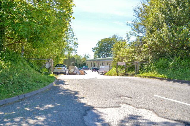
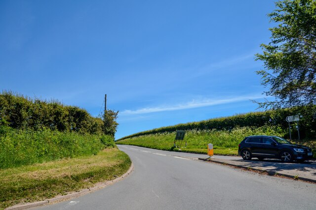
Abbot's Hill Wood is a picturesque woodland located in Devon, England. Covering an area of approximately 100 acres, it is a haven for nature enthusiasts and those seeking tranquility amidst beautiful surroundings. The woodland is situated near the village of Abbot's Hill, which lends its name to the site.

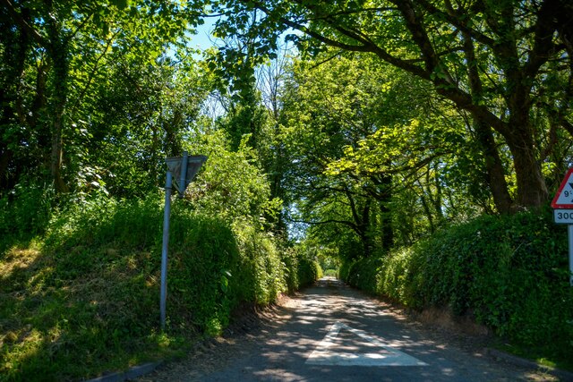
The wood is predominantly composed of broadleaf trees, including oak, beech, and ash, which create a rich and diverse ecosystem. These trees provide a dense canopy that filters sunlight, creating a cool and inviting atmosphere. Walking through the woodland, visitors will discover a carpet of bluebells and other wildflowers during the springtime, adding vibrant colors to the landscape.

Abbot's Hill Wood is also home to a variety of wildlife. The dense vegetation provides excellent habitat for a range of bird species, including woodpeckers, thrushes, and owls. Squirrels can be spotted scurrying among the branches, while deer occasionally graze in the nearby clearings.

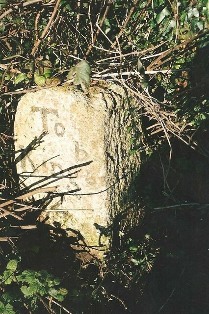
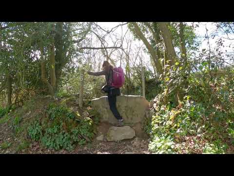
In addition to its natural beauty, the wood has historical significance. It is believed to have been part of a medieval deer park, with remnants of an old stone wall still visible today. Walking paths wind through the woodland, allowing visitors to explore and enjoy the peaceful ambiance.

Abbot's Hill Wood is a popular destination for walking, picnicking, and wildlife watching. Its proximity to nearby villages and towns makes it easily accessible for day trips and weekend outings. Whether seeking solitude or an opportunity to connect with nature, this enchanting woodland offers a memorable experience for all who venture within its boundaries.

If you have any feedback on the listing, please let us know in the comments section below.

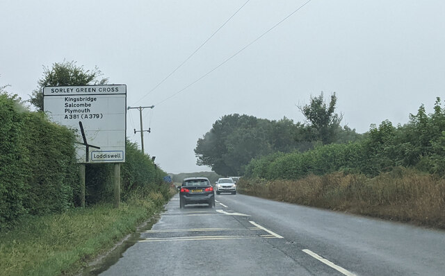
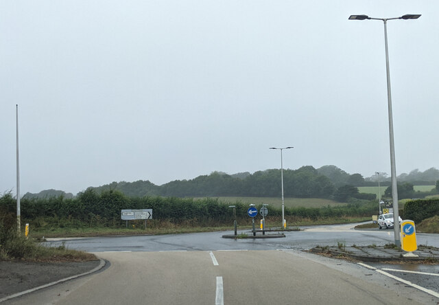
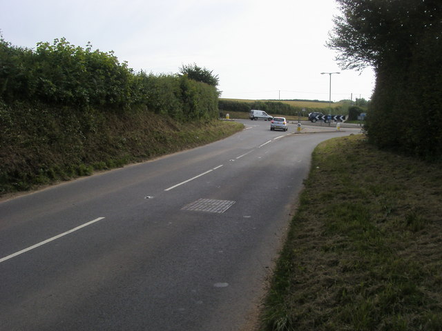
Abbot's Hill Wood Images

Images are sourced within 2km of 50.29016/-3.8019598 or Grid Reference SX7144. Thanks to Geograph Open Source API. All images are credited.

Old Milestone, A379, Churchstow The milestone is located 150m west of Churstow village and 50m east of Bantham Cross, on the bank in the hedge on the north side of the road. Parish of Churchstow (South Hams District). Carved stone post, Modbury granite triangle design, erected by the Kingsbridge & Dartmouth turnpike trust in the 19th century. 

Grade II Listed, List Entry Number: 1168470
<span class="nowrap"><a title="https://historicengland.org.uk/listing/the-list/list-entry/1168470" rel="nofollow ugc noopener" href="https://historicengland.org.uk/listing/the-list/list-entry/1168470">Link</a><img style="margin-left:2px;" alt="External link" title="External link - shift click to open in new window" src="https://s1.geograph.org.uk/img/external.png" width="10" height="10"/></span>

Inscription reads:-
To / Kingsb / 2     : :     To / Modby / 5
Carved benchmark on top right face

Milestone Society National ID: DV_KBMB02
Old Milestone, A379, Churchstow
The milestone is located 150m west of Churstow village and 50m east of Bantham Cross, on the bank in the hedge on the north side of the road. Parish of Churchstow (South Hams District). Carved stone post, Modbury granite triangle design, erected by the Kingsbridge & Dartmouth turnpike trust in the 19th century. Grade II Listed, List Entry Number: 1168470 LinkExternal link Inscription reads:- To / Kingsb / 2 : : To / Modby / 5 Carved benchmark on top right face Milestone Society National ID: DV_KBMB02
Kingsbridge : Station Yard Industrial Estate Entrance road from West Alvington Hill.
Kingsbridge : Station Yard Industrial Estate
Entrance road from West Alvington Hill.
Kingsbridge : Trebble Park Looking along Trebble Park off Cookworthy Road.
Kingsbridge : Trebble Park
Looking along Trebble Park off Cookworthy Road.
Churchstow : Road A small road off the A379.
Churchstow : Road
A small road off the A379.
West Alvington : Road Junction At the road junction with the A381.
West Alvington : Road Junction
At the road junction with the A381.
West Alvington : Lamppost A lamppost with some murky water attached.
West Alvington : Lamppost
A lamppost with some murky water attached.
West Alvington : Town Park Looking along Town Park off the A381.
West Alvington : Town Park
Looking along Town Park off the A381.
Kingsbridge : West Alvington Hill A381 Looking along the road.
Kingsbridge : West Alvington Hill A381
Looking along the road.
Churchstowe : South Hams Business Park Looking to the entrance of the business park off the A379.
Churchstowe : South Hams Business Park
Looking to the entrance of the business park off the A379.
Churchstow : The A381 Looking off the roundabout along the A381.
Churchstow : The A381
Looking off the roundabout along the A381.
Slate memorial, Kingsbridge Against the south wall of the grade I listed Church of St Edmund, and to C18 members of the Gilberd family.
Slate memorial, Kingsbridge
Against the south wall of the grade I listed Church of St Edmund, and to C18 members of the Gilberd family.
Church of St Edmund, Kingsbridge The church is listed grade I. The description at <span class="nowrap"><a title="https://historicengland.org.uk/listing/the-list/list-entry/1165559?section=official-list-entry" rel="nofollow ugc noopener" href="https://historicengland.org.uk/listing/the-list/list-entry/1165559?section=official-list-entry">Link</a><img style="margin-left:2px;" alt="External link" title="External link - shift click to open in new window" src="https://s1.geograph.org.uk/img/external.png" width="10" height="10"/></span> is hardly worth linking to.
Church of St Edmund, Kingsbridge
The church is listed grade I. The description at LinkExternal link is hardly worth linking to.
Devon Fire Brigade, Kingsbridge Fire Station
Kingsbridge town centre
Kingsbridge bus station
West Alvington village sign
Approaching Sorley Green Cross
Mini roundabout at Palegate Cross
Show me another place!

Abbot's Hill Wood is located at Grid Ref: SX7144 (Lat: 50.29016, Lng: -3.8019598)

Administrative County: Devon

District: South Hams

Police Authority: Devon and Cornwall

What 3 Words

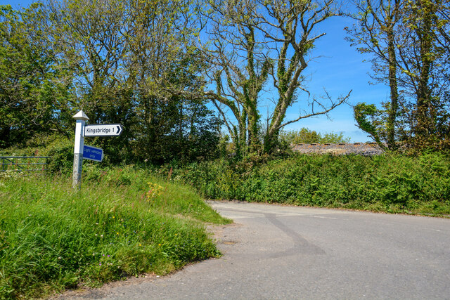
///mocked.spray.cheetahs. Near Kingsbridge, Devon

Related Wikis

Churchstow

Churchstow is a small village situated on the A379 road in the South Hams district in south Devon, England. It is situated 1.9 miles (3 km) north-west...

South Hams Hospital

South Hams Hospital is a health facility in Plymouth Road, Kingsbridge, Devon, England. It is managed by University Hospitals Plymouth NHS Trust and formerly...

Bantham Cross

Bantham Cross is a tiny hamlet near Churchstow, in Devon, England. There are a few buildings in it, and a roundabout. The buildings are sparse and are...

Kingsbridge Community College

Kingsbridge Community College is a co-educational secondary school and sixth form with academy status, located in Kingsbridge in the English county of...

Kingsbridge railway station (England)

Kingsbridge railway station was the terminus station of the single track branch GWR line from Brent to the town of Kingsbridge. == History == The station...

Kingsbridge Town Hall

Kingsbridge Town Hall is a municipal building in Fore Street, Kingsbridge, Devon, England. The town hall, which is currently used as a cinema, is a Grade...

Kingsbridge

Kingsbridge is a market town in the South Hams district of Devon, England, with a population of 6,116 at the 2011 census. Two electoral wards bear the...

Leigh Cell

Leigh Cell was a monastery in Devon, England. == References ==

Related Videos

SOUTH DEVON TIME TRAVEL

Over recent years I have been collecting photographs of ancient Devon and then visiting these places to take a photograph of the ...

East Soar, Starehole Bay & Bolt Head..Malborough, Kingsbridge, South Hams, Devon..Virtual Walk

Welcome to a walk starting from East Soar National Trust car park just outside the village of Malborough, Kingsbridge in the South ...

A circular countryside walk from Loddiswell, Devon to the forested Avon Valley and back.

Loddiswell, Devon, England, UK. A walk starting from the pretty little village of Loddiswell in south Devon near Kingsbridge, out ...

Nearby Amenities

Located within 500m of 50.29016,-3.8019598
Lower Holditch
Place: locality
Lat/Long: 50.2885812/-3.7969474
The data included in this document is from www.openstreetmap.org. The data is made available under ODbL.

Have you been to Abbot's Hill Wood?

Leave your review of Abbot's Hill Wood below (or comments, questions and feedback).