Swallowtree Brake
Wood, Forest in Devon Mid Devon
England
Swallowtree Brake
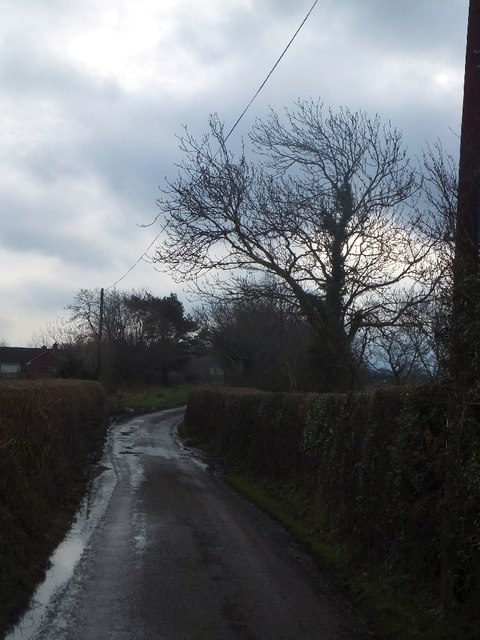
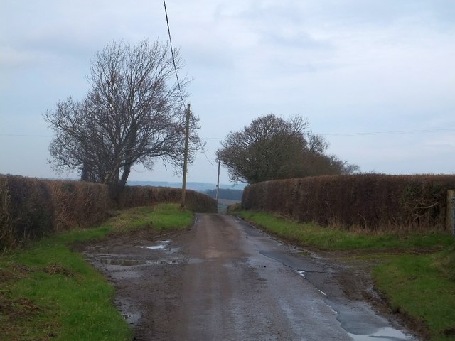
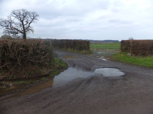
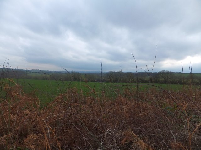
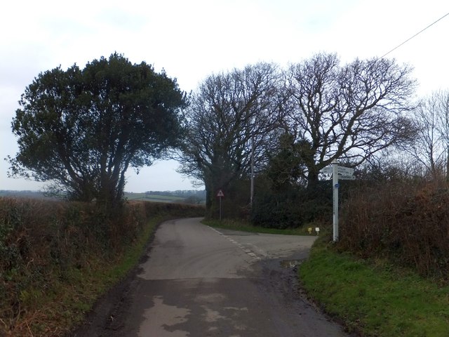
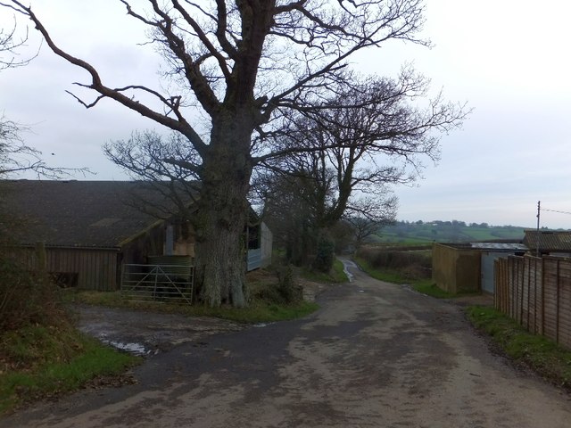
Swallowtree Brake, located in Devon, is a serene and captivating woodland forest that covers an area of approximately 300 acres. Situated amidst the picturesque landscape of the county, it offers a tranquil retreat for nature lovers and outdoor enthusiasts alike.
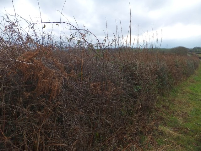
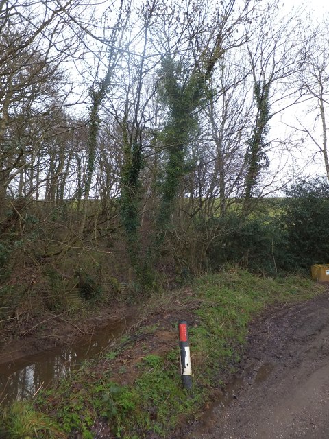
The forest is characterized by its abundant variety of trees, including oak, beech, birch, and pine, which create a rich and diverse ecosystem. The dense canopy provides shelter to numerous species of birds, making it an ideal destination for birdwatching enthusiasts. Visitors can expect to spot woodpeckers, owls, and various songbirds throughout the year.
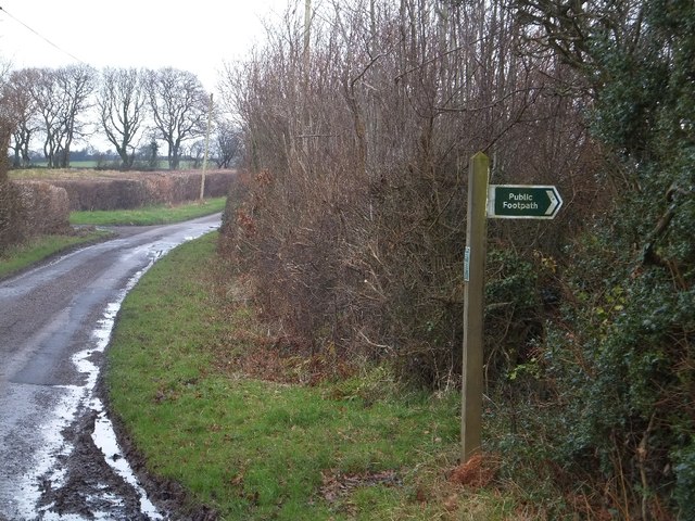
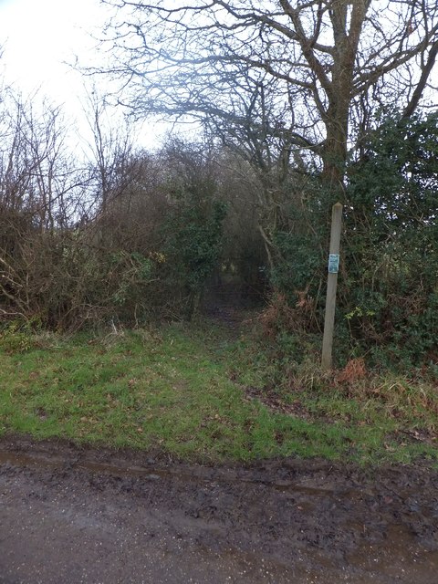
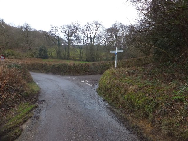
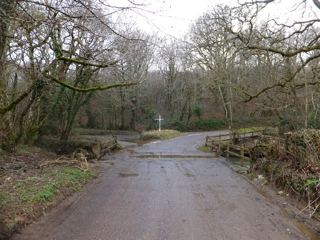
Swallowtree Brake boasts an extensive network of walking trails, allowing visitors to explore the forest at their own pace. These well-maintained paths wind through the woodland, offering glimpses of wildflowers, ferns, and other native plants. The forest floor is also home to a variety of mammals, such as rabbits, badgers, and deer, making it an excellent spot for wildlife observation.
For those seeking a more immersive experience, camping facilities are available within the forest, enabling visitors to spend the night under the stars. The peaceful surroundings and absence of light pollution make for an unforgettable stargazing experience.
Swallowtree Brake, with its natural beauty and tranquil ambiance, offers a haven for anyone looking to escape the hustle and bustle of everyday life. Whether you are a nature enthusiast, birdwatcher, or simply seeking solace in the great outdoors, this enchanting woodland forest is sure to leave a lasting impression.
If you have any feedback on the listing, please let us know in the comments section below.
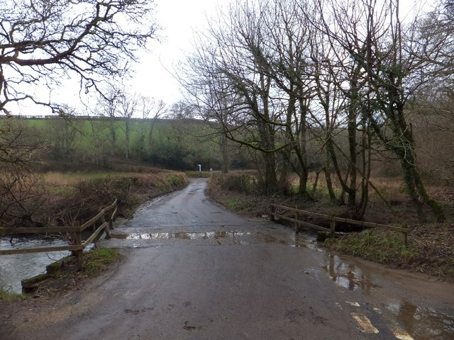
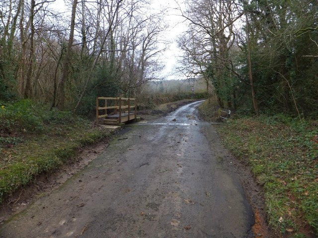
Swallowtree Brake Images
Images are sourced within 2km of 50.750969/-3.8192597 or Grid Reference SX7196. Thanks to Geograph Open Source API. All images are credited.
Swallowtree Brake is located at Grid Ref: SX7196 (Lat: 50.750969, Lng: -3.8192597)
Administrative County: Devon
District: Mid Devon
Police Authority: Devon and Cornwall
What 3 Words
///twist.umbrellas.fuels. Near Bow, Devon
Nearby Locations
Related Wikis

Spreyton
Spreyton is a small rural village just north of Dartmoor in Devon, England. Spreyton is famous for its connection to the tale of “Old Uncle Tom Cobley...

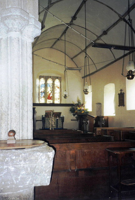
St Andrew's Church, Hittisleigh
St Andrew's Church, Hittisleigh, is an Anglican parish church in Hittisleigh in Mid Devon. It is listed Grade I on the National Heritage List for England...
Hittisleigh
Hittisleigh is a small rural parish and village just north-east of Dartmoor in Devon. Once part of the ancient district of the Wonford Hundred, it is now...
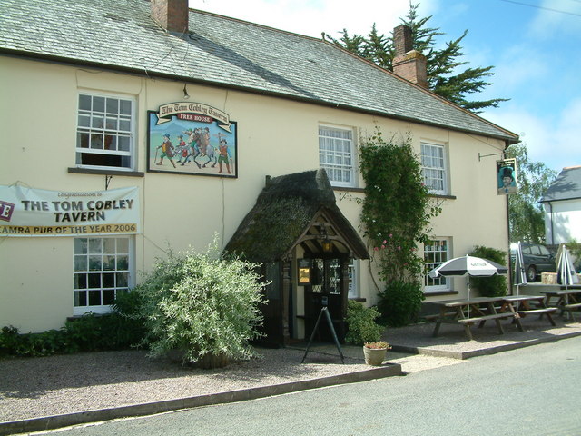
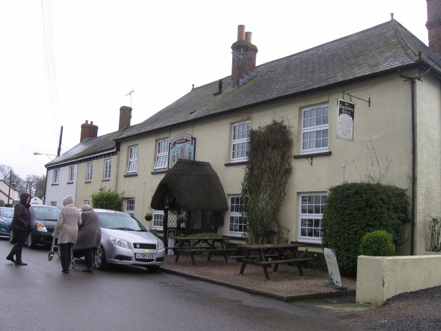
Tom Cobley Tavern
The Tom Cobley Tavern is a pub in Spreyton, Devon, England. It dates back to the 16th century, and may be the 1802 starting point of Uncle Tom Cobley and...
Related Videos

Buttisland UWC (MSL) Level Crossing in Devon 07/06/2022
Used Timetable: North Tawton 16:33 2R60 GWR Okehampton - Exeter Central 2 Coaches 150263 Number of Level Crossings ...
Have you been to Swallowtree Brake?
Leave your review of Swallowtree Brake below (or comments, questions and feedback).