The Grove

Wood, Forest in Devon South Hams

England

The Grove

Old Milestone, A379, Churchstow The milestone is located 150m west of Churstow village and 50m east of Bantham Cross, on the bank in the hedge on the north side of the road. Parish of Churchstow (South Hams District). Carved stone post, Modbury granite triangle design, erected by the Kingsbridge & Dartmouth turnpike trust in the 19th century. 

Grade II Listed, List Entry Number: 1168470
<span class="nowrap"><a title="https://historicengland.org.uk/listing/the-list/list-entry/1168470" rel="nofollow ugc noopener" href="https://historicengland.org.uk/listing/the-list/list-entry/1168470">Link</a><img style="margin-left:2px;" alt="External link" title="External link - shift click to open in new window" src="https://s1.geograph.org.uk/img/external.png" width="10" height="10"/></span>

Inscription reads:-
To / Kingsb / 2     : :     To / Modby / 5
Carved benchmark on top right face

Milestone Society National ID: DV_KBMB02
Old Milestone, A379, Churchstow Credit: Tim Jenkinson

The Grove is a picturesque woodland located in Devon, England. It is a haven for nature lovers, offering an enchanting escape from the hustle and bustle of everyday life. With its dense canopy of trees and vibrant foliage, The Grove is a true paradise for outdoor enthusiasts.

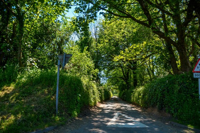
Covering an expansive area, The Grove is home to a diverse range of flora and fauna. Towering oak, beech, and ash trees dominate the landscape, providing a tranquil atmosphere and a haven for bird species such as woodpeckers and owls. The forest floor is adorned with a carpet of wildflowers, offering a burst of color during the spring and summer months.

The Grove boasts a network of well-maintained trails, allowing visitors to explore its natural beauty at their own pace. These paths wind through the forest, meandering past babbling brooks and hidden glades. Along the way, hikers may encounter small wildlife, including deer and squirrels.

The woodland also offers a range of recreational activities for visitors. Picnic areas dotted throughout the forest provide the perfect spot for a leisurely lunch amid the serenity of nature. Additionally, The Grove features designated camping areas, allowing visitors to experience the magic of sleeping under the stars surrounded by ancient trees.

The Grove is a true gem in Devon, offering a serene and enchanting experience for all who venture into its depths. Whether it's a leisurely stroll, a family picnic, or a camping adventure, The Grove promises an unforgettable journey into the heart of nature.

If you have any feedback on the listing, please let us know in the comments section below.
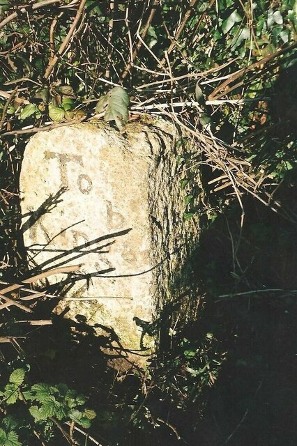
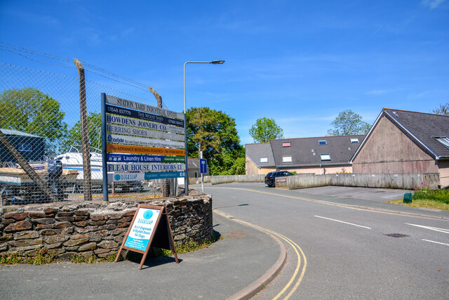
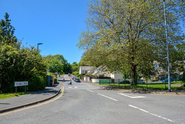
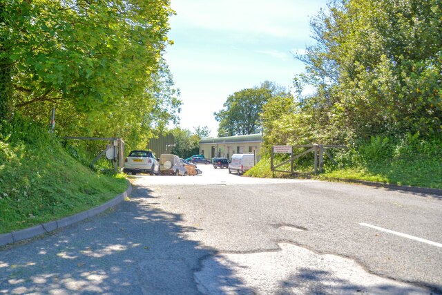
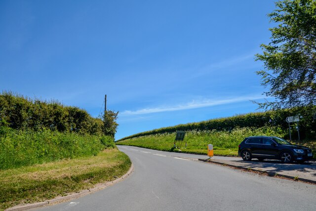
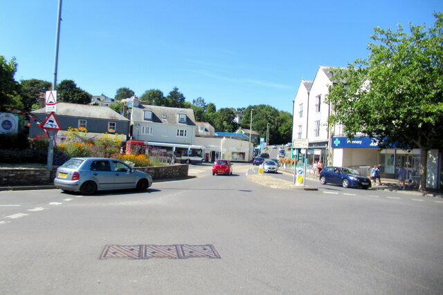
The Grove Images

Images are sourced within 2km of 50.286688/-3.801983 or Grid Reference SX7144. Thanks to Geograph Open Source API. All images are credited.

Old Milestone, A379, Churchstow The milestone is located 150m west of Churstow village and 50m east of Bantham Cross, on the bank in the hedge on the north side of the road. Parish of Churchstow (South Hams District). Carved stone post, Modbury granite triangle design, erected by the Kingsbridge & Dartmouth turnpike trust in the 19th century. 

Grade II Listed, List Entry Number: 1168470
<span class="nowrap"><a title="https://historicengland.org.uk/listing/the-list/list-entry/1168470" rel="nofollow ugc noopener" href="https://historicengland.org.uk/listing/the-list/list-entry/1168470">Link</a><img style="margin-left:2px;" alt="External link" title="External link - shift click to open in new window" src="https://s1.geograph.org.uk/img/external.png" width="10" height="10"/></span>

Inscription reads:-
To / Kingsb / 2     : :     To / Modby / 5
Carved benchmark on top right face

Milestone Society National ID: DV_KBMB02
Old Milestone, A379, Churchstow
The milestone is located 150m west of Churstow village and 50m east of Bantham Cross, on the bank in the hedge on the north side of the road. Parish of Churchstow (South Hams District). Carved stone post, Modbury granite triangle design, erected by the Kingsbridge & Dartmouth turnpike trust in the 19th century. Grade II Listed, List Entry Number: 1168470 LinkExternal link Inscription reads:- To / Kingsb / 2 : : To / Modby / 5 Carved benchmark on top right face Milestone Society National ID: DV_KBMB02
Kingsbridge : Station Yard Industrial Estate Entrance road from West Alvington Hill.
Kingsbridge : Station Yard Industrial Estate
Entrance road from West Alvington Hill.
Kingsbridge : Trebble Park Looking along Trebble Park off Cookworthy Road.
Kingsbridge : Trebble Park
Looking along Trebble Park off Cookworthy Road.
Churchstow : Road A small road off the A379.
Churchstow : Road
A small road off the A379.
West Alvington : Road Junction At the road junction with the A381.
West Alvington : Road Junction
At the road junction with the A381.
West Alvington : Lamppost A lamppost with some murky water attached.
West Alvington : Lamppost
A lamppost with some murky water attached.
West Alvington : Town Park Looking along Town Park off the A381.
West Alvington : Town Park
Looking along Town Park off the A381.
Kingsbridge : West Alvington Hill A381 Looking along the road.
Kingsbridge : West Alvington Hill A381
Looking along the road.
Churchstowe : South Hams Business Park Looking to the entrance of the business park off the A379.
Churchstowe : South Hams Business Park
Looking to the entrance of the business park off the A379.
Churchstow : The A381 Looking off the roundabout along the A381.
Churchstow : The A381
Looking off the roundabout along the A381.
Slate memorial, Kingsbridge Against the south wall of the grade I listed Church of St Edmund, and to C18 members of the Gilberd family.
Slate memorial, Kingsbridge
Against the south wall of the grade I listed Church of St Edmund, and to C18 members of the Gilberd family.
Church of St Edmund, Kingsbridge The church is listed grade I. The description at <span class="nowrap"><a title="https://historicengland.org.uk/listing/the-list/list-entry/1165559?section=official-list-entry" rel="nofollow ugc noopener" href="https://historicengland.org.uk/listing/the-list/list-entry/1165559?section=official-list-entry">Link</a><img style="margin-left:2px;" alt="External link" title="External link - shift click to open in new window" src="https://s1.geograph.org.uk/img/external.png" width="10" height="10"/></span> is hardly worth linking to.
Church of St Edmund, Kingsbridge
The church is listed grade I. The description at LinkExternal link is hardly worth linking to.
Devon Fire Brigade, Kingsbridge Fire Station
Kingsbridge town centre
Kingsbridge bus station
West Alvington village sign
Mini roundabout at Palegate Cross
Entering 30 MPH zone for Churchstow
Show me another place!

The Grove is located at Grid Ref: SX7144 (Lat: 50.286688, Lng: -3.801983)

Administrative County: Devon

District: South Hams

Police Authority: Devon and Cornwall

What 3 Words

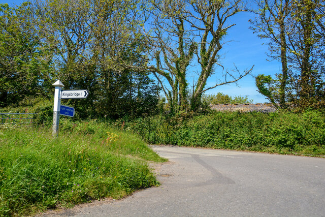
///model.instilled.limped. Near Kingsbridge, Devon

Related Wikis

South Hams Hospital

South Hams Hospital is a health facility in Plymouth Road, Kingsbridge, Devon, England. It is managed by University Hospitals Plymouth NHS Trust and formerly...

Churchstow

Churchstow is a small village situated on the A379 road in the South Hams district in south Devon, England. It is situated 1.9 miles (3 km) north-west...

Kingsbridge Community College

Kingsbridge Community College is a co-educational secondary school and sixth form with academy status, located in Kingsbridge in the English county of...

Kingsbridge railway station (England)

Kingsbridge railway station was the terminus station of the single track branch GWR line from Brent to the town of Kingsbridge. == History == The station...

Related Videos

SOUTH DEVON TIME TRAVEL

Over recent years I have been collecting photographs of ancient Devon and then visiting these places to take a photograph of the ...

East Soar, Starehole Bay & Bolt Head..Malborough, Kingsbridge, South Hams, Devon..Virtual Walk

Welcome to a walk starting from East Soar National Trust car park just outside the village of Malborough, Kingsbridge in the South ...

Funfair At Kingsbridge,

fun fair at kingsbridge, Totnes, Devon.that was really fun ✨#kingsbridge #funfare #nightfun #fun #fair #funfair.

Nearby Amenities

Located within 500m of 50.286688,-3.801983
Lower Holditch
Place: locality
Lat/Long: 50.2885812/-3.7969474
The data included in this document is from www.openstreetmap.org. The data is made available under ODbL.

Have you been to The Grove?

Leave your review of The Grove below (or comments, questions and feedback).