Bowringsleigh
Heritage Site in Devon South Hams
England
Bowringsleigh
Bowringsleigh is a historic estate located in the picturesque county of Devon, England. Situated near the village of Harberton, this heritage site holds significant cultural and architectural importance. The estate is renowned for its stunning Jacobean-style mansion, which was constructed in the early 17th century.
The mansion at Bowringsleigh boasts a unique blend of architectural styles, including Elizabethan and Gothic influences. Its intricate detailing and well-preserved features stand as a testament to the craftsmanship of the era. The estate itself is set amidst sprawling parkland, showcasing beautifully landscaped gardens, serene lakes, and ancient woodlands.
Throughout its history, Bowringsleigh has been home to several prominent families, contributing to its rich heritage. It was once owned by the Bowring family, who were influential merchants in the area during the 18th and 19th centuries. The estate also served as a convalescent home for wounded soldiers during World War II.
Today, Bowringsleigh is privately owned and is not open to the public. However, its stunning architecture and picturesque surroundings make it a popular subject for local artists and photographers. The estate's historical significance and natural beauty make it a cherished part of Devon's heritage.
Visitors to the region can still admire the exterior of Bowringsleigh from a distance, appreciating its grandeur and imagining the stories that unfolded within its walls. Its location in the heart of the Devon countryside provides a charming backdrop for those exploring the area's history and natural wonders.
If you have any feedback on the listing, please let us know in the comments section below.
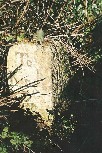
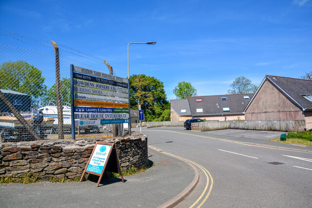
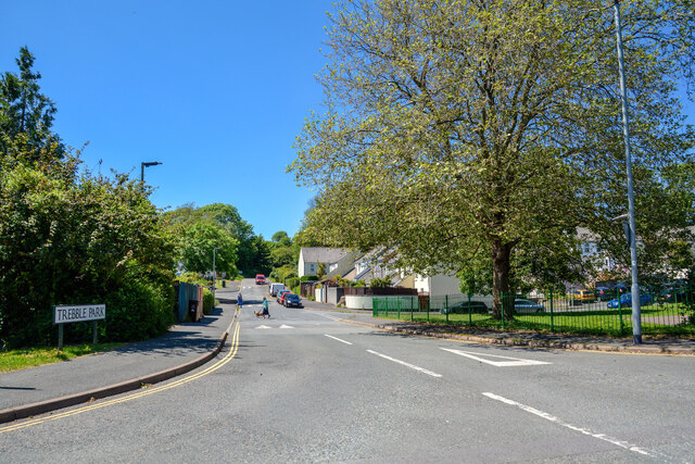
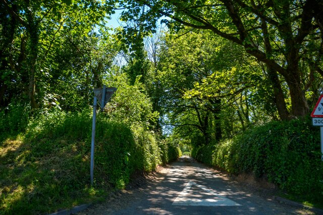
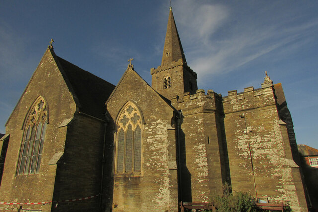
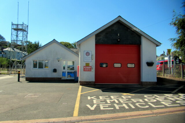
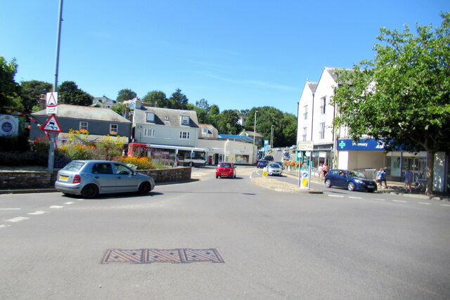
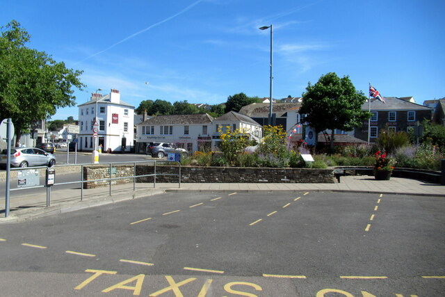
Bowringsleigh Images
Images are sourced within 2km of 50.285/-3.803 or Grid Reference SX7144. Thanks to Geograph Open Source API. All images are credited.
Bowringsleigh is located at Grid Ref: SX7144 (Lat: 50.285, Lng: -3.803)
Administrative County: Devon
District: South Hams
Police Authority: Devon and Cornwall
What 3 Words
///chaos.smoking.sharpened. Near Kingsbridge, Devon
Nearby Locations
Related Wikis

South Hams Hospital
South Hams Hospital is a health facility in Plymouth Road, Kingsbridge, Devon, England. It is managed by University Hospitals Plymouth NHS Trust and formerly...

Kingsbridge Community College
Kingsbridge Community College is a co-educational secondary school and sixth form with academy status, located in Kingsbridge in the English county of...

Kingsbridge railway station (England)
Kingsbridge railway station was the terminus station of the single track branch GWR line from Brent to the town of Kingsbridge. == History == The station...

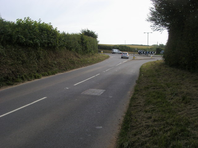
Churchstow
Churchstow is a small village situated on the A379 road in the South Hams district in south Devon, England. It is situated 1.9 miles (3 km) north-west...
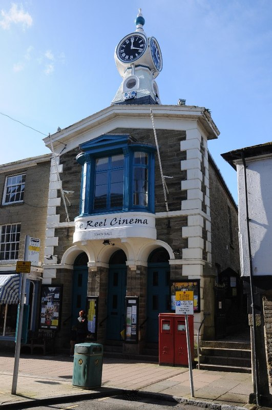
Kingsbridge Town Hall
Kingsbridge Town Hall is a municipal building in Fore Street, Kingsbridge, Devon, England. The town hall, which is currently used as a cinema, is a Grade...
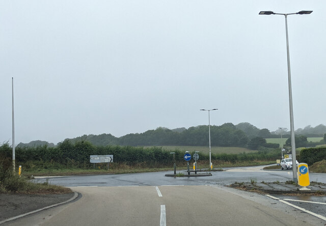
Bantham Cross
Bantham Cross is a tiny hamlet near Churchstow, in Devon, England. There are a few buildings in it, and a roundabout. The buildings are sparse and are...
Kingsbridge
Kingsbridge is a market town in the South Hams district of Devon, England, with a population of 6,116 at the 2011 census. Two electoral wards bear the...

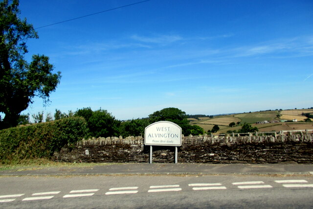
West Alvington
West Alvington is a small village, located on the outskirts of Kingsbridge in South Devon on the A381 road. The appropriate electoral ward is called Westville...
Related Videos


SOUTH DEVON TIME TRAVEL
Over recent years I have been collecting photographs of ancient Devon and then visiting these places to take a photograph of the ...
East Soar, Starehole Bay & Bolt Head..Malborough, Kingsbridge, South Hams, Devon..Virtual Walk
Welcome to a walk starting from East Soar National Trust car park just outside the village of Malborough, Kingsbridge in the South ...

Funfair At Kingsbridge,
fun fair at kingsbridge, Totnes, Devon.that was really fun ✨#kingsbridge #funfare #nightfun #fun #fair #funfair.
Nearby Amenities
Located within 500m of 50.285,-3.803Have you been to Bowringsleigh?
Leave your review of Bowringsleigh below (or comments, questions and feedback).