Jordan Copse
Wood, Forest in Devon West Devon
England
Jordan Copse
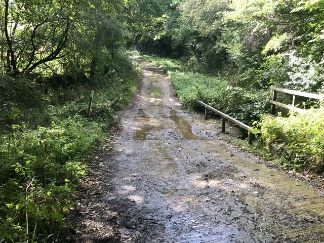
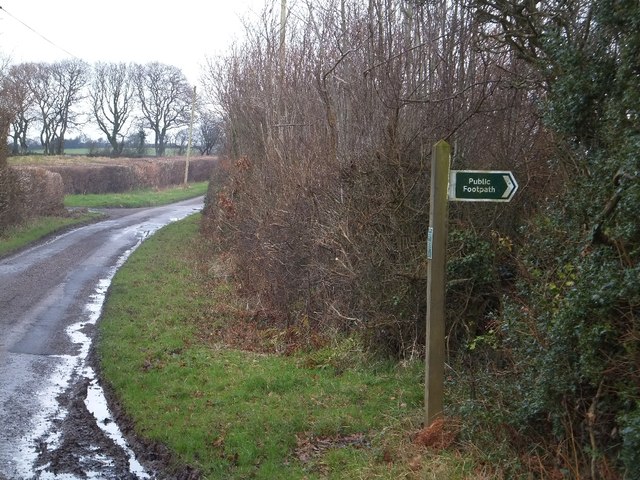
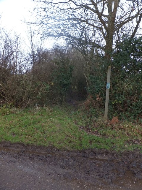
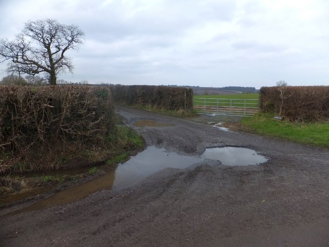
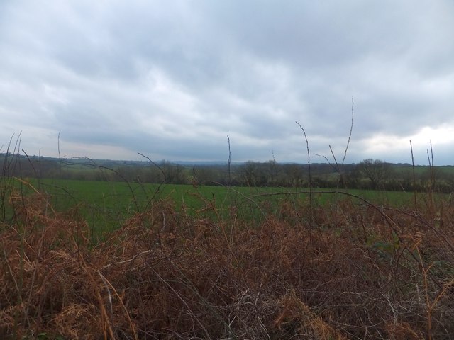
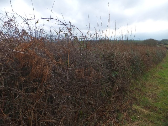
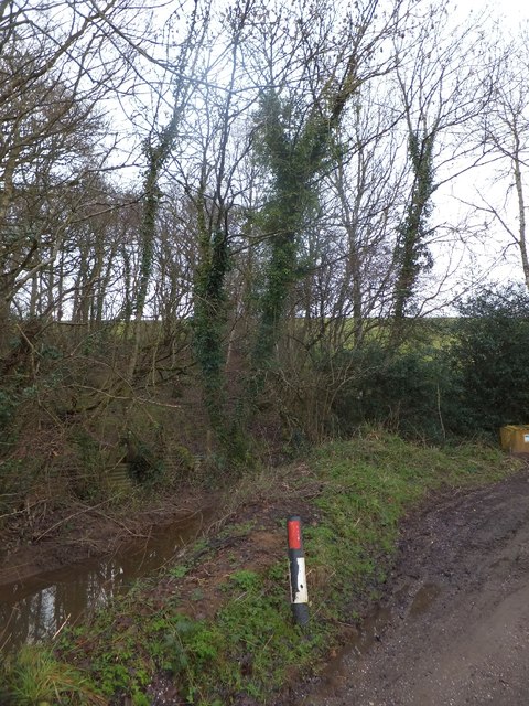
Jordan Copse is a picturesque woodland located in Devon, England. This dense forest is home to a variety of native trees, including oak, beech, and birch, creating a lush and vibrant ecosystem. The canopy of the trees provides shelter for numerous species of birds, insects, and small mammals, making it a popular spot for wildlife enthusiasts and birdwatchers.
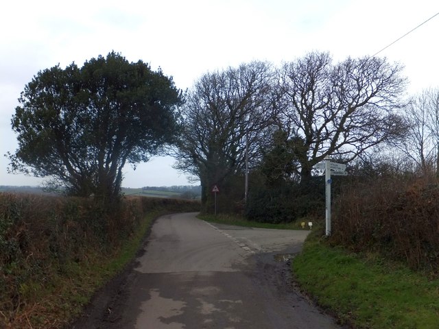
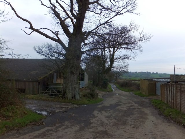
Trails wind through the forest, allowing visitors to explore the natural beauty of Jordan Copse on foot. The peaceful atmosphere of the woods makes it an ideal destination for a leisurely stroll or a quiet picnic surrounded by nature.
In the spring, the forest floor comes alive with a carpet of bluebells, creating a stunning display of color and fragrance. During the autumn months, the leaves of the trees turn golden and red, casting a warm glow over the woodland.
Jordan Copse is a tranquil retreat from the hustle and bustle of everyday life, offering visitors a chance to connect with nature and rejuvenate their spirits in a serene and beautiful setting. Whether you're a nature lover, a hiker, or simply seeking a peaceful escape, Jordan Copse is a hidden gem waiting to be discovered.
If you have any feedback on the listing, please let us know in the comments section below.
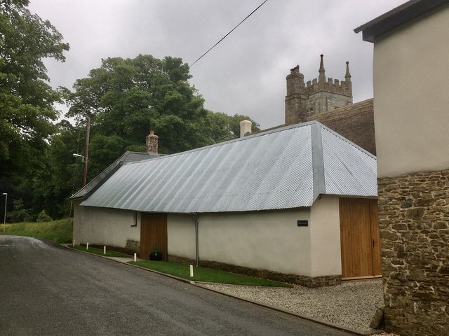
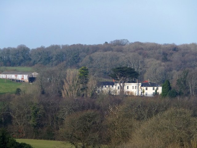
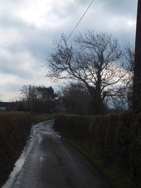
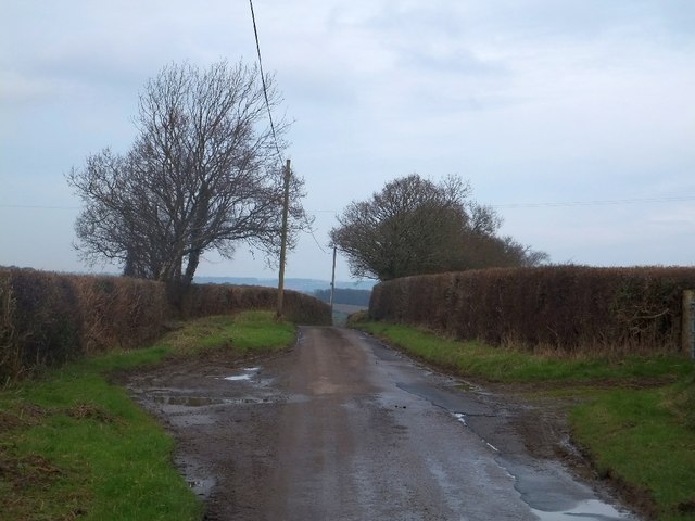
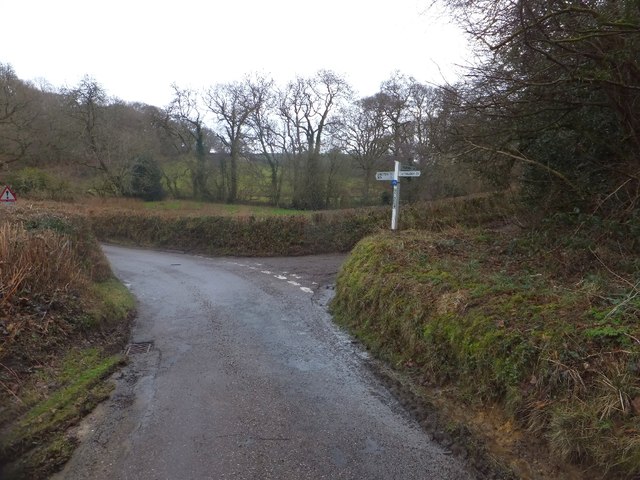
Jordan Copse Images
Images are sourced within 2km of 50.751848/-3.8343495 or Grid Reference SX7096. Thanks to Geograph Open Source API. All images are credited.

Jordan Copse is located at Grid Ref: SX7096 (Lat: 50.751848, Lng: -3.8343495)
Administrative County: Devon
District: West Devon
Police Authority: Devon and Cornwall
What 3 Words
///studs.saints.orange. Near Bow, Devon
Nearby Locations
Related Wikis

Spreyton
Spreyton is a small rural village just north of Dartmoor in Devon, England. Spreyton is famous for its connection to the tale of “Old Uncle Tom Cobley...
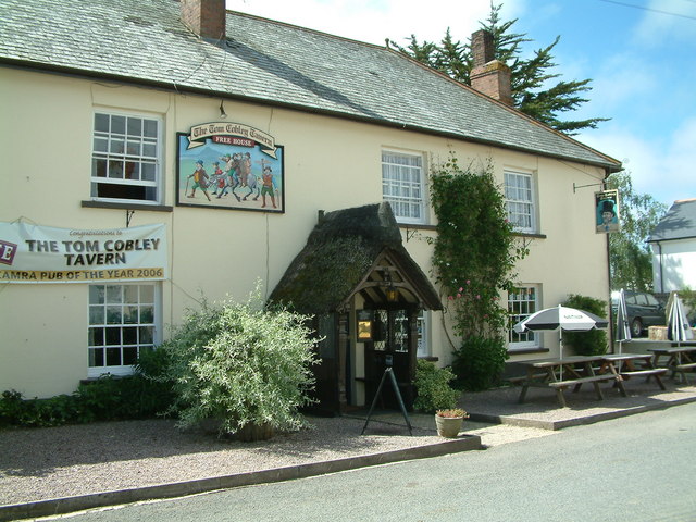
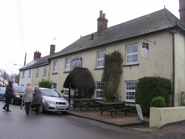
Tom Cobley Tavern
The Tom Cobley Tavern is a pub in Spreyton, Devon, England. It dates back to the 16th century, and may be the 1802 starting point of Uncle Tom Cobley and...

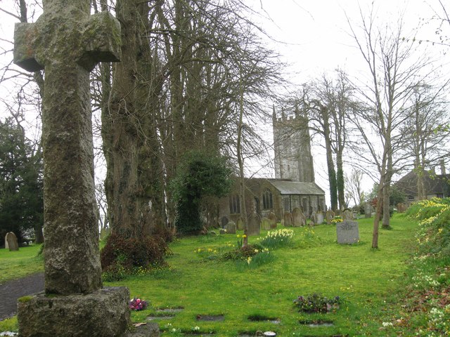
St Andrew's Church, Hittisleigh
St Andrew's Church, Hittisleigh, is an Anglican parish church in Hittisleigh in Mid Devon. It is listed Grade I on the National Heritage List for England...
Hittisleigh
Hittisleigh is a small rural parish and village just north-east of Dartmoor in Devon. Once part of the ancient district of the Wonford Hundred, it is now...
Nearby Amenities
Located within 500m of 50.751848,-3.8343495Have you been to Jordan Copse?
Leave your review of Jordan Copse below (or comments, questions and feedback).