Spreyton

Settlement in Devon West Devon

England

Spreyton

Ordnance Survey Cut Mark This OS cut mark can be found on the west face of St Michael's Church. It marks a point 223.988m above mean sea level.
Ordnance Survey Cut Mark Credit: Adrian Dust

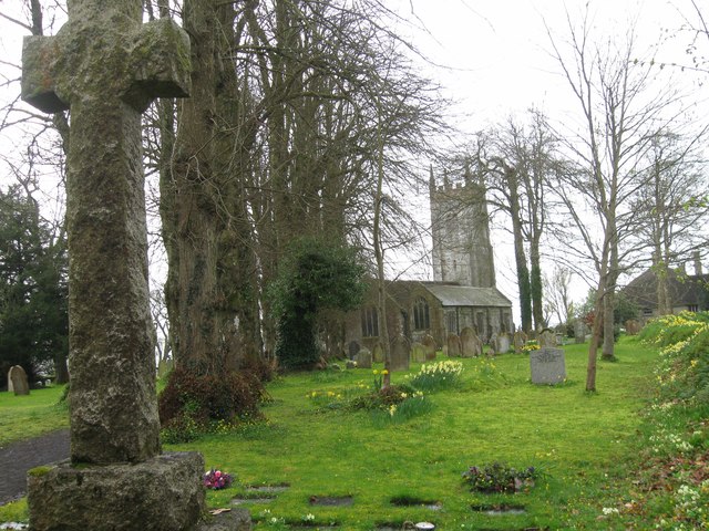
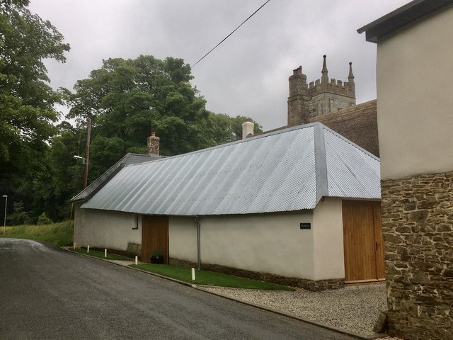
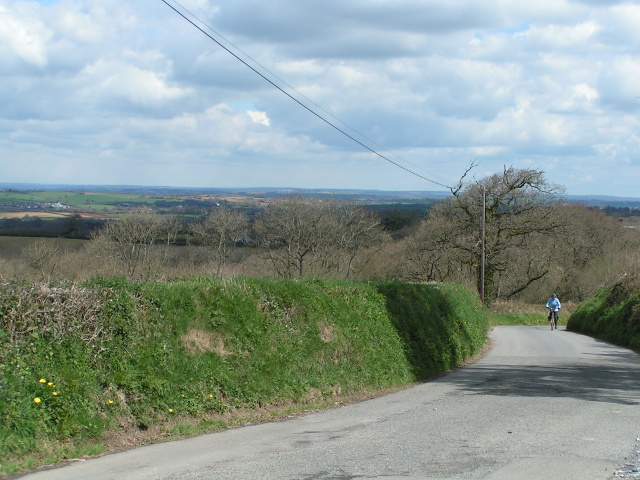
Spreyton is a small village located in the county of Devon, England. Situated in the picturesque Dartmoor National Park, Spreyton is surrounded by rolling hills, lush green fields, and stunning countryside views. The village is known for its charming thatched cottages, historic buildings, and quaint village church.

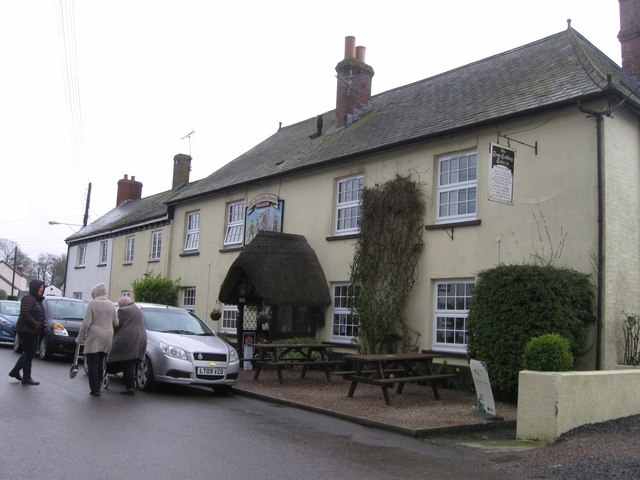
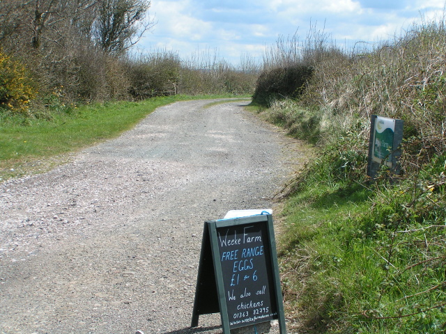
Spreyton has a close-knit community and a peaceful, rural atmosphere, making it an ideal destination for those looking to escape the hustle and bustle of city life. The village is home to a local pub, a primary school, a village hall, and a post office, providing essential amenities for residents and visitors alike.

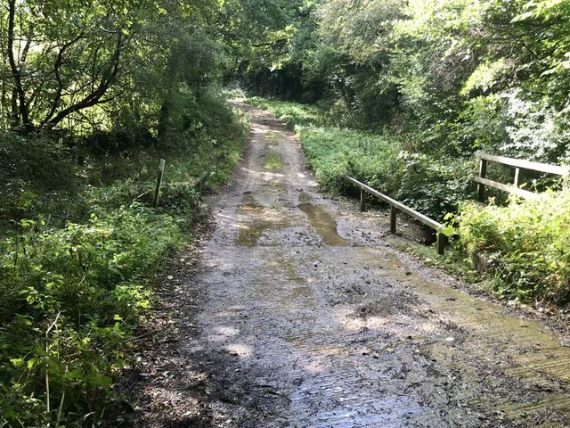
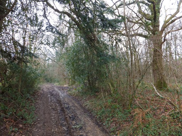
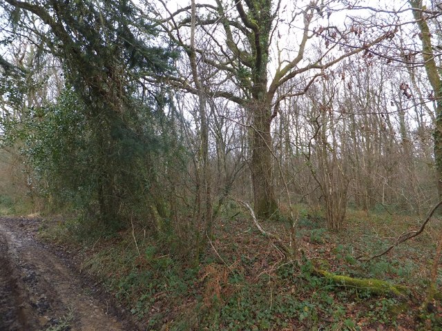
Outdoor enthusiasts will appreciate the numerous walking and cycling trails that surround Spreyton, offering ample opportunities to explore the natural beauty of the area. The village is also within easy reach of popular attractions such as Castle Drogo, the Finch Foundry Museum, and the historic town of Okehampton.

Overall, Spreyton is a charming and idyllic village in the heart of Devon, offering a peaceful retreat for those seeking a rural escape.

If you have any feedback on the listing, please let us know in the comments section below.

Spreyton Images

Images are sourced within 2km of 50.755373/-3.843081 or Grid Reference SX7096. Thanks to Geograph Open Source API. All images are credited.

Ordnance Survey Cut Mark This OS cut mark can be found on the west face of St Michael's Church. It marks a point 223.988m above mean sea level.
Ordnance Survey Cut Mark
This OS cut mark can be found on the west face of St Michael's Church. It marks a point 223.988m above mean sea level.
Cullaford Bridge on the River Yeo One of a number of rivers named Yeo. This name is likely to have come from the old English ea meaning running water, a stream or waterway.
Cullaford Bridge on the River Yeo
One of a number of rivers named Yeo. This name is likely to have come from the old English ea meaning running water, a stream or waterway.
The downstream side of Cullaford Bridge on the River Yeo One of a number of rivers named Yeo. This name is likely to have come from the old English ea meaning running water, a stream or waterway.
The downstream side of Cullaford Bridge on the River Yeo
One of a number of rivers named Yeo. This name is likely to have come from the old English ea meaning running water, a stream or waterway.
The upstream side of Cullaford Bridge on the River Yeo One of a number of rivers named Yeo. This name is likely to have come from the old English ea meaning running water, a stream or waterway.
The upstream side of Cullaford Bridge on the River Yeo
One of a number of rivers named Yeo. This name is likely to have come from the old English ea meaning running water, a stream or waterway.
Looking down the River Yeo from Cullaford Bridge One of a number of rivers named Yeo. This name is likely to have come from the old English ea meaning running water, a stream or waterway.
Looking down the River Yeo from Cullaford Bridge
One of a number of rivers named Yeo. This name is likely to have come from the old English ea meaning running water, a stream or waterway.
Looking up the River Yeo from Cullaford Bridge One of a number of rivers named Yeo. This name is likely to have come from the old English ea meaning running water, a stream or waterway.
Looking up the River Yeo from Cullaford Bridge
One of a number of rivers named Yeo. This name is likely to have come from the old English ea meaning running water, a stream or waterway.
St Michael's Church
St Michael's Church
The Tom Cobley Tavern
Ford at Nethercott This ford is found along a driveway leading to Nethercott.
Ford at Nethercott
This ford is found along a driveway leading to Nethercott.
The Barton, looking towards the church tower A Grade II listed barn of C14 origin, one of the oldest buildings in the village of Spreyton. This has been recently renovated and restored (along with the ancient farmhouse Of Spreyton Barton).
The Barton, looking towards the church tower
A Grade II listed barn of C14 origin, one of the oldest buildings in the village of Spreyton. This has been recently renovated and restored (along with the ancient farmhouse Of Spreyton Barton).
Staddlestone adjoining the north side of the  church tower Of quite some age and a favourite feature, this lovely staddlestone is adorned by daffodils in springtime. I don’t know if this is the original position for it.
Staddlestone adjoining the north side of the church tower
Of quite some age and a favourite feature, this lovely staddlestone is adorned by daffodils in springtime. I don’t know if this is the original position for it.
Gate into Spreyton Wood A public footpath (for those with boots!) which follows the valley of the River Troney and passes through Spreyton Wood.
Gate into Spreyton Wood
A public footpath (for those with boots!) which follows the valley of the River Troney and passes through Spreyton Wood.
Footpath and forest track through Spreyton Wood
Spreyton Wood The trees are comparatively young.  Comparing the current OS map with one from the 1930s, this area was not marked as woodland on the older map
Spreyton Wood
The trees are comparatively young. Comparing the current OS map with one from the 1930s, this area was not marked as woodland on the older map
A lovely view from the lane to Week Farm
Lane to Weeke / Week Farm The map says "Week Farm", but these signs say "Weeke Farm"
Lane to Weeke / Week Farm
The map says "Week Farm", but these signs say "Weeke Farm"
At North Beer Cross, looking north-east The farm at North Beer has a sign at the road junction, although the farm is further along the road
At North Beer Cross, looking north-east
The farm at North Beer has a sign at the road junction, although the farm is further along the road
Show me another place!

Spreyton is located at Grid Ref: SX7096 (Lat: 50.755373, Lng: -3.843081)

Administrative County: Devon

District: West Devon

Police Authority: Devon and Cornwall

What 3 Words

///gives.latter.backfired. Near Bow, Devon

Related Wikis

Spreyton

Spreyton is a small rural village just north of Dartmoor in Devon, England. Spreyton is famous for its connection to the tale of “Old Uncle Tom Cobley...
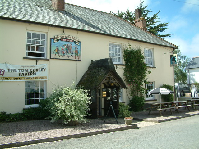
Tom Cobley Tavern

The Tom Cobley Tavern is a pub in Spreyton, Devon, England. It dates back to the 16th century, and may be the 1802 starting point of Uncle Tom Cobley and...

St Andrew's Church, Hittisleigh

St Andrew's Church, Hittisleigh, is an Anglican parish church in Hittisleigh in Mid Devon. It is listed Grade I on the National Heritage List for England...

Hittisleigh

Hittisleigh is a small rural parish and village just north-east of Dartmoor in Devon. Once part of the ancient district of the Wonford Hundred, it is now...

Nearby Amenities

Located within 500m of 50.755373,-3.843081
Spreyton
Place: village
Lat/Long: 50.7554175/-3.8430541
Pub
Lat/Long: 50.7555492/-3.8455246
Power: pole
Lat/Long: 50.7586723/-3.8463494
Power: pole
Lat/Long: 50.7583483/-3.8450056
Power: pole
Lat/Long: 50.7578036/-3.8425997
Power: pole
Lat/Long: 50.7576441/-3.8417763
Power: pole
Lat/Long: 50.7573217/-3.8404968
Power: pole
Lat/Long: 50.7570401/-3.8392389
Power: pole
Lat/Long: 50.7568127/-3.8381928
Power: pole
Lat/Long: 50.7561221/-3.8378119
Power: pole
Lat/Long: 50.7553721/-3.8375652
Power: pole
Lat/Long: 50.7547188/-3.8372165
Power: pole
Lat/Long: 50.7541554/-3.8369751
Generator Method: photovoltaic
Generator Output Electricity: yes
Generator Source: solar
Generator Type: solar_photovoltaic_panel
Location: roof
Power: generator
Lat/Long: 50.756112/-3.8472323
Generator Method: photovoltaic
Generator Output Electricity: yes
Generator Source: solar
Generator Type: solar_photovoltaic_panel
Location: roof
Power: generator
Lat/Long: 50.7560629/-3.8471931
Generator Method: photovoltaic
Generator Output Electricity: yes
Generator Source: solar
Generator Type: solar_photovoltaic_panel
Location: roof
Power: generator
Lat/Long: 50.7577299/-3.8452948
Generator Method: photovoltaic
Generator Output Electricity: yes
Generator Source: solar
Generator Type: solar_photovoltaic_panel
Location: roof
Power: generator
Lat/Long: 50.7557742/-3.8458438
Generator Method: photovoltaic
Generator Output Electricity: yes
Generator Source: solar
Generator Type: solar_photovoltaic_panel
Location: roof
Power: generator
Lat/Long: 50.7558353/-3.8457446
Generator Method: photovoltaic
Generator Output Electricity: yes
Generator Source: solar
Generator Type: solar_photovoltaic_panel
Location: roof
Power: generator
Lat/Long: 50.7557929/-3.8458009
Generator Method: photovoltaic
Generator Output Electricity: yes
Generator Source: solar
Generator Type: solar_photovoltaic_panel
Location: roof
Power: generator
Lat/Long: 50.7567516/-3.8413847
Generator Method: photovoltaic
Generator Output Electricity: yes
Generator Source: solar
Generator Type: solar_photovoltaic_panel
Location: roof
Power: generator
Lat/Long: 50.7567626/-3.8416113
The data included in this document is from www.openstreetmap.org. The data is made available under ODbL.

Have you been to Spreyton?

Leave your review of Spreyton below (or comments, questions and feedback).