Spreyton

Civil Parish in Devon West Devon

England

Spreyton

Ordnance Survey Cut Mark This OS cut mark can be found on the west face of St Michael's Church. It marks a point 223.988m above mean sea level.
Ordnance Survey Cut Mark Credit: Adrian Dust

Spreyton is a civil parish located in Devon, England. It is situated in the West Devon district, approximately 7 miles west of the town of Crediton and 13 miles north of the city of Exeter. The parish covers an area of approximately 6.5 square miles and has a population of around 500 residents.

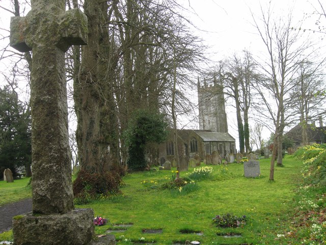
Spreyton is a rural village surrounded by rolling countryside and farmland, making it an ideal location for those looking for a peaceful and picturesque setting. The village is home to a number of historic buildings, including the Grade I listed St. Michael's Church, which dates back to the 13th century.

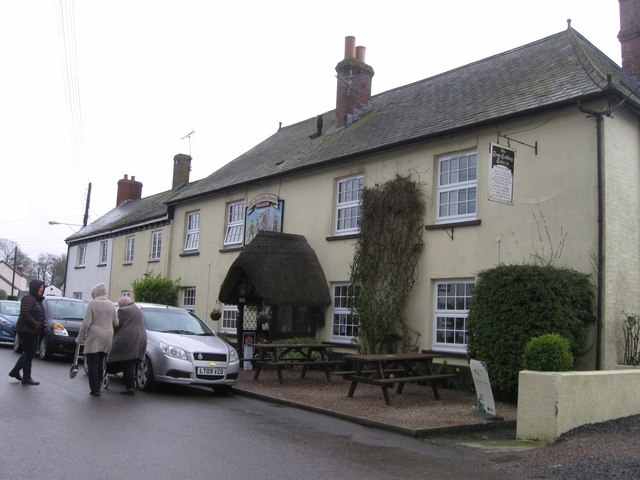
In terms of amenities, Spreyton has a village hall, a primary school, a pub, and a post office. The village also has a strong sense of community, with various events and activities taking place throughout the year.

Overall, Spreyton is a charming and idyllic village that offers a tranquil lifestyle for its residents, while still being within easy reach of larger towns and cities for those seeking more amenities and services.

If you have any feedback on the listing, please let us know in the comments section below.
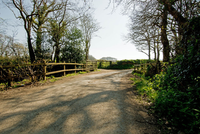
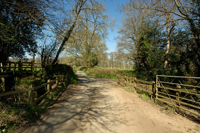
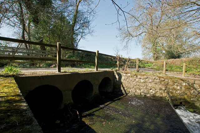
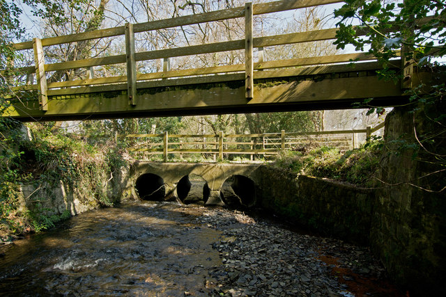
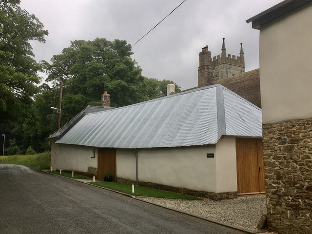
Spreyton Images

Images are sourced within 2km of 50.755789/-3.843509 or Grid Reference SX7096. Thanks to Geograph Open Source API. All images are credited.

Ordnance Survey Cut Mark This OS cut mark can be found on the west face of St Michael's Church. It marks a point 223.988m above mean sea level.
Ordnance Survey Cut Mark
This OS cut mark can be found on the west face of St Michael's Church. It marks a point 223.988m above mean sea level.
Combe Moor Lane crossing the River Yeo at Thorn Bridge One of a number of rivers named Yeo. This name is likely to have come from the old English ea meaning running water, a stream or waterway.
Combe Moor Lane crossing the River Yeo at Thorn Bridge
One of a number of rivers named Yeo. This name is likely to have come from the old English ea meaning running water, a stream or waterway.
The downstream side of Thorn Bridge on the River Yeo One of a number of rivers named Yeo. This name is likely to have come from the old English ea meaning running water, a stream or waterway.
The downstream side of Thorn Bridge on the River Yeo
One of a number of rivers named Yeo. This name is likely to have come from the old English ea meaning running water, a stream or waterway.
The upstream side of Thorn Bridge on the River Yeo One of a number of rivers named Yeo. This name is likely to have come from the old English ea meaning running water, a stream or waterway.
The upstream side of Thorn Bridge on the River Yeo
One of a number of rivers named Yeo. This name is likely to have come from the old English ea meaning running water, a stream or waterway.
Looking down the River Yeo from Thorn Bridge One of a number of rivers named Yeo. This name is likely to have come from the old English ea meaning running water, a stream or waterway.
Looking down the River Yeo from Thorn Bridge
One of a number of rivers named Yeo. This name is likely to have come from the old English ea meaning running water, a stream or waterway.
Looking up the River Yeo from Thorn Bridge One of a number of rivers named Yeo. This name is likely to have come from the old English ea meaning running water, a stream or waterway.
Looking up the River Yeo from Thorn Bridge
One of a number of rivers named Yeo. This name is likely to have come from the old English ea meaning running water, a stream or waterway.
Cullaford Bridge on the River Yeo One of a number of rivers named Yeo. This name is likely to have come from the old English ea meaning running water, a stream or waterway.
Cullaford Bridge on the River Yeo
One of a number of rivers named Yeo. This name is likely to have come from the old English ea meaning running water, a stream or waterway.
The downstream side of Cullaford Bridge on the River Yeo One of a number of rivers named Yeo. This name is likely to have come from the old English ea meaning running water, a stream or waterway.
The downstream side of Cullaford Bridge on the River Yeo
One of a number of rivers named Yeo. This name is likely to have come from the old English ea meaning running water, a stream or waterway.
The upstream side of Cullaford Bridge on the River Yeo One of a number of rivers named Yeo. This name is likely to have come from the old English ea meaning running water, a stream or waterway.
The upstream side of Cullaford Bridge on the River Yeo
One of a number of rivers named Yeo. This name is likely to have come from the old English ea meaning running water, a stream or waterway.
Looking down the River Yeo from Cullaford Bridge One of a number of rivers named Yeo. This name is likely to have come from the old English ea meaning running water, a stream or waterway.
Looking down the River Yeo from Cullaford Bridge
One of a number of rivers named Yeo. This name is likely to have come from the old English ea meaning running water, a stream or waterway.
Looking up the River Yeo from Cullaford Bridge One of a number of rivers named Yeo. This name is likely to have come from the old English ea meaning running water, a stream or waterway.
Looking up the River Yeo from Cullaford Bridge
One of a number of rivers named Yeo. This name is likely to have come from the old English ea meaning running water, a stream or waterway.
St Michael's Church
St Michael's Church
The Tom Cobley Tavern
Thorn Bridge Ford This ford on the River Yeo is found on Coombe Moor Road at Thorn Bridge. A video of the ford can be viewed at:
<span class="nowrap"><a title="https://youtu.be/8CCOPBXr3MU" rel="nofollow ugc noopener" href="https://youtu.be/8CCOPBXr3MU">Link</a><img style="margin-left:2px;" alt="External link" title="External link - shift click to open in new window" src="https://s1.geograph.org.uk/img/external.png" width="10" height="10"/></span>
Thorn Bridge Ford
This ford on the River Yeo is found on Coombe Moor Road at Thorn Bridge. A video of the ford can be viewed at: LinkExternal link
Ford at Nethercott This ford is found along a driveway leading to Nethercott.
Ford at Nethercott
This ford is found along a driveway leading to Nethercott.
The Barton, looking towards the church tower A Grade II listed barn of C14 origin, one of the oldest buildings in the village of Spreyton. This has been recently renovated and restored (along with the ancient farmhouse Of Spreyton Barton).
The Barton, looking towards the church tower
A Grade II listed barn of C14 origin, one of the oldest buildings in the village of Spreyton. This has been recently renovated and restored (along with the ancient farmhouse Of Spreyton Barton).
Show me another place!

Spreyton is located at Grid Ref: SX7096 (Lat: 50.755789, Lng: -3.843509)

Administrative County: Devon

District: West Devon

Police Authority: Devon & Cornwall

What 3 Words

///gallons.live.foresight. Near Bow, Devon

Related Wikis

Spreyton

Spreyton is a small rural village just north of Dartmoor in Devon, England. Spreyton is famous for its connection to the tale of “Old Uncle Tom Cobley...
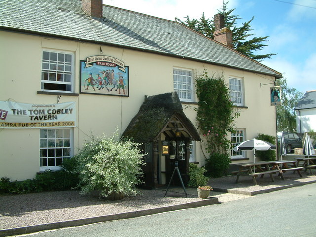
Tom Cobley Tavern

The Tom Cobley Tavern is a pub in Spreyton, Devon, England. It dates back to the 16th century, and may be the 1802 starting point of Uncle Tom Cobley and...
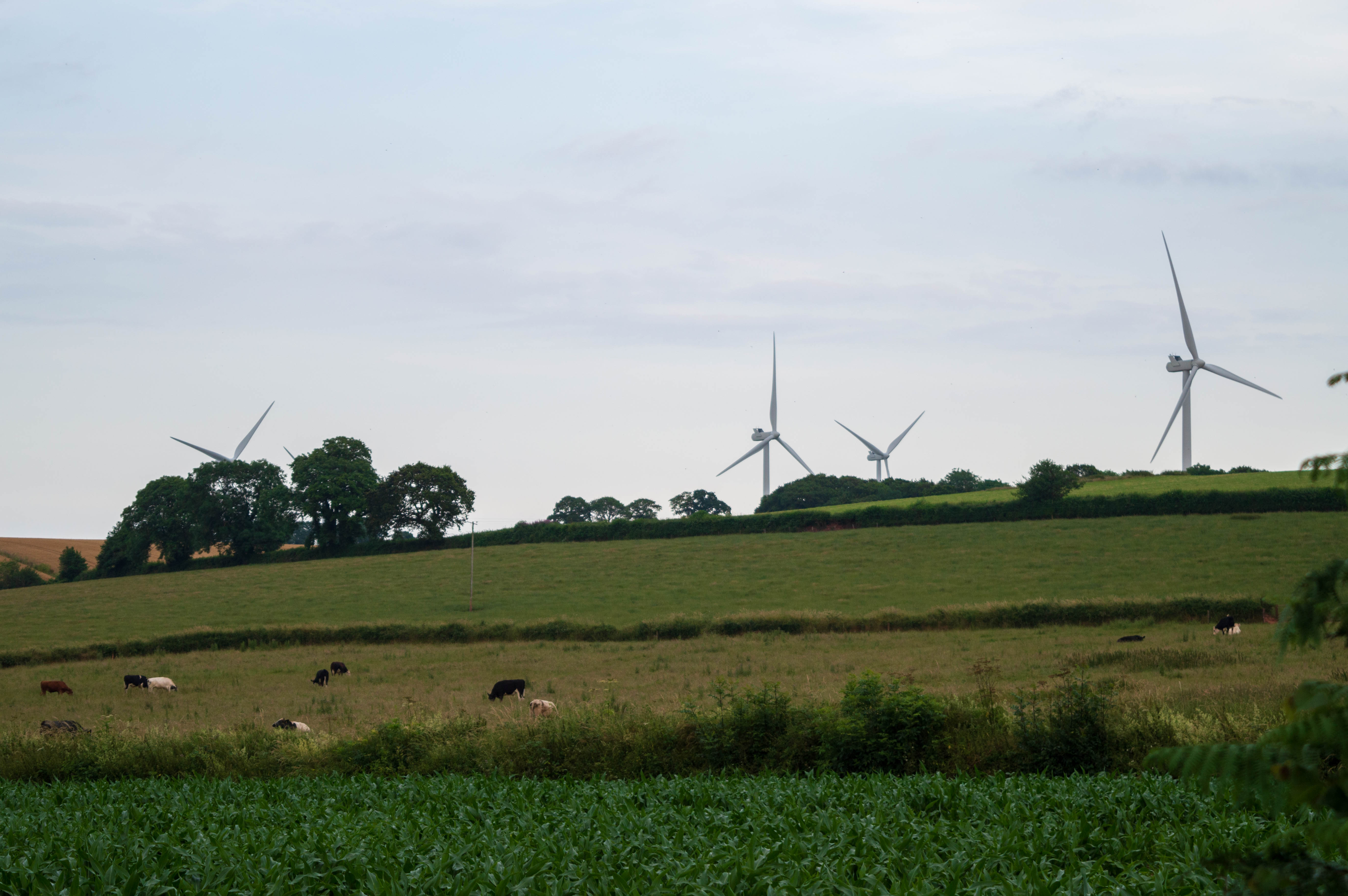
Den Brook Wind Farm

Den Brook Wind Farm is a windfarm in Devon, England. The windfarm is located 2 kilometres (1.2 mi) south-east of North Tawton and 2.5 kilometres (1.6 mi...

St Andrew's Church, Hittisleigh

St Andrew's Church, Hittisleigh, is an Anglican parish church in Hittisleigh in Mid Devon. It is listed Grade I on the National Heritage List for England...

Nearby Amenities

Located within 500m of 50.755789,-3.843509
Spreyton
Place: village
Lat/Long: 50.7554175/-3.8430541
Pub
Lat/Long: 50.7555492/-3.8455246
Power: pole
Lat/Long: 50.7593358/-3.8471139
Power: pole
Lat/Long: 50.7586723/-3.8463494
Power: pole
Lat/Long: 50.7583483/-3.8450056
Power: pole
Lat/Long: 50.7578036/-3.8425997
Power: pole
Lat/Long: 50.7576441/-3.8417763
Power: pole
Lat/Long: 50.7573217/-3.8404968
Power: pole
Lat/Long: 50.7570401/-3.8392389
Power: pole
Lat/Long: 50.7568127/-3.8381928
Power: pole
Lat/Long: 50.7561221/-3.8378119
Power: pole
Lat/Long: 50.7553721/-3.8375652
Power: pole
Lat/Long: 50.7547188/-3.8372165
Power: pole
Lat/Long: 50.7541554/-3.8369751
Generator Method: photovoltaic
Generator Output Electricity: yes
Generator Source: solar
Generator Type: solar_photovoltaic_panel
Location: roof
Power: generator
Lat/Long: 50.756112/-3.8472323
Generator Method: photovoltaic
Generator Output Electricity: yes
Generator Source: solar
Generator Type: solar_photovoltaic_panel
Location: roof
Power: generator
Lat/Long: 50.7560629/-3.8471931
Generator Method: photovoltaic
Generator Output Electricity: yes
Generator Source: solar
Generator Type: solar_photovoltaic_panel
Location: roof
Power: generator
Lat/Long: 50.7577299/-3.8452948
Generator Method: photovoltaic
Generator Output Electricity: yes
Generator Source: solar
Generator Type: solar_photovoltaic_panel
Location: roof
Power: generator
Lat/Long: 50.7557742/-3.8458438
Generator Method: photovoltaic
Generator Output Electricity: yes
Generator Source: solar
Generator Type: solar_photovoltaic_panel
Location: roof
Power: generator
Lat/Long: 50.7558353/-3.8457446
Generator Method: photovoltaic
Generator Output Electricity: yes
Generator Source: solar
Generator Type: solar_photovoltaic_panel
Location: roof
Power: generator
Lat/Long: 50.7557929/-3.8458009
Generator Method: photovoltaic
Generator Output Electricity: yes
Generator Source: solar
Generator Type: solar_photovoltaic_panel
Location: roof
Power: generator
Lat/Long: 50.7567516/-3.8413847
Generator Method: photovoltaic
Generator Output Electricity: yes
Generator Source: solar
Generator Type: solar_photovoltaic_panel
Location: roof
Power: generator
Lat/Long: 50.7567626/-3.8416113
The data included in this document is from www.openstreetmap.org. The data is made available under ODbL.

Have you been to Spreyton?

Leave your review of Spreyton below (or comments, questions and feedback).