Beara Wood
Wood, Forest in Devon North Devon
England
Beara Wood
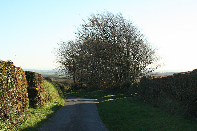
Beara Wood is a beautiful forest located in Devon, England. Covering an area of approximately 50 acres, this woodland is a haven for nature lovers and outdoor enthusiasts. The forest is home to a diverse range of flora and fauna, including oak, beech, and pine trees, as well as various species of birds, insects, and small mammals.
Visitors to Beara Wood can enjoy a leisurely stroll along the well-maintained walking trails, taking in the sights and sounds of the forest. The peaceful atmosphere and tranquil surroundings make it the perfect place to escape the hustle and bustle of everyday life.
In addition to its natural beauty, Beara Wood also has historical significance. The forest is believed to have been used as a hunting ground by the ancient Britons, and there are remnants of old settlements scattered throughout the area.
Overall, Beara Wood is a hidden gem in Devon, offering a peaceful retreat for those looking to connect with nature and explore the beauty of the English countryside.
If you have any feedback on the listing, please let us know in the comments section below.
Beara Wood Images
Images are sourced within 2km of 51.102018/-3.8481508 or Grid Reference SS7035. Thanks to Geograph Open Source API. All images are credited.


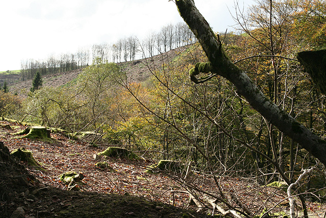
![High Bray: above Sherracombe Ford Looking east-north-east. Sherracombe Ford is Exmoor’s earliest known iron ore smelting site. Mounds of slag remain and radiocarbon dating here suggests Roman activity. [Source: Hazel Riley and Robert Wilson-North. The Field Archaeology of Exmoor. English Heritage, 2001]](https://s1.geograph.org.uk/photos/26/64/266449_231c78b3.jpg)
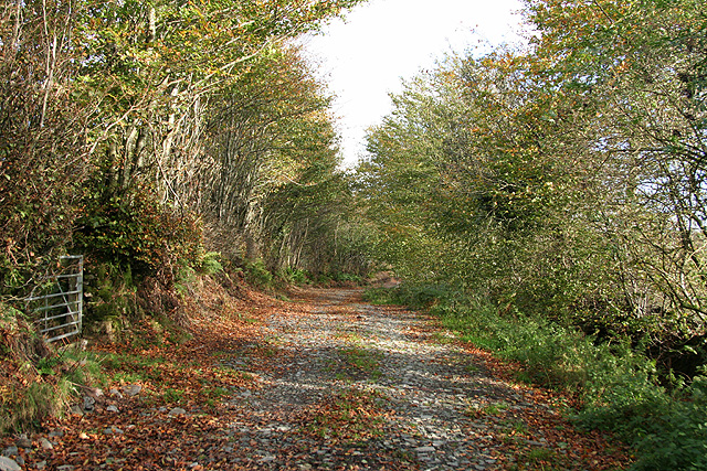
![High Bray: towards Sherracombe Ford Beyond the second gate, on the roughly level area of grass and bracken by the side of the wooded stream is an ironworking site. Smelting was carried out on three identifiable working platforms. Mounds of slag remain and radiocarbon dating here suggests Roman activity. An archaeological investigation was carried out at the beginning of this century. [Part source: Hazel Riley and Robert Wilson-North. The Field Archaeology of Exmoor. English Heritage, 2001]. Looking east](https://s2.geograph.org.uk/photos/26/64/266450_ba213c09.jpg)

Beara Wood is located at Grid Ref: SS7035 (Lat: 51.102018, Lng: -3.8481508)
Administrative County: Devon
District: North Devon
Police Authority: Devon and Cornwall
What 3 Words
///worker.sofas.lightly. Near South Molton, Devon
Nearby Locations
Related Wikis

High Bray
High Bray is a village, church of England parish and former civil parish, now in the parish of Brayford, in the North Devon district, in the county of...
Charles, Devon
Charles is a village and former civil parish, now in the parish of Brayford, in the North Devon district of Devon, England. Its nearest town is South Molton...

Bentwitchen
Bentwitchen is a hamlet in Devon, England. == References ==

Brayford
Brayford is a village and civil parish in Devon, England, situated about 5 miles (8.0 km) from South Molton and 6 miles (9.7 km) from Barnstaple. It lies...
Nearby Amenities
Located within 500m of 51.102018,-3.8481508Have you been to Beara Wood?
Leave your review of Beara Wood below (or comments, questions and feedback).