Aishridge Plantation
Wood, Forest in Devon South Hams
England
Aishridge Plantation
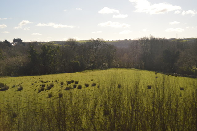
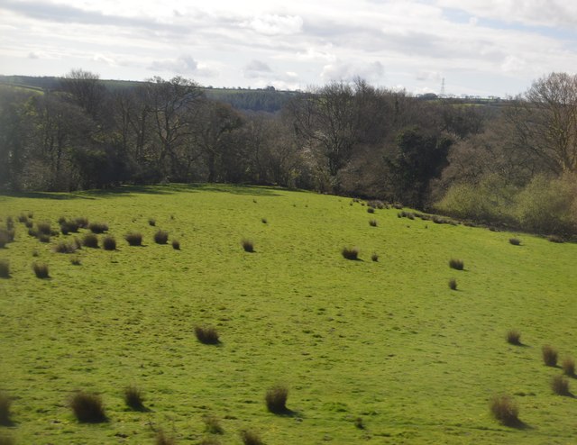
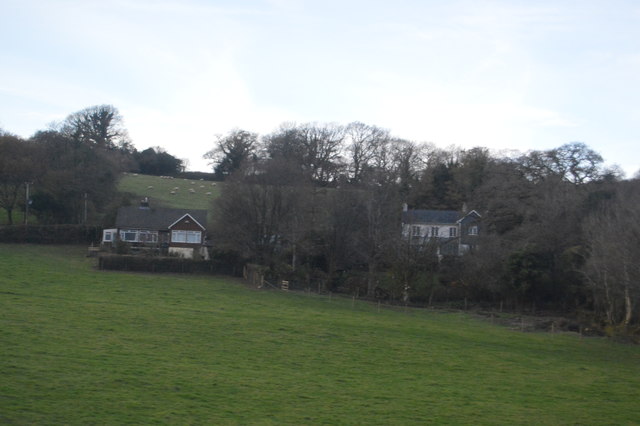
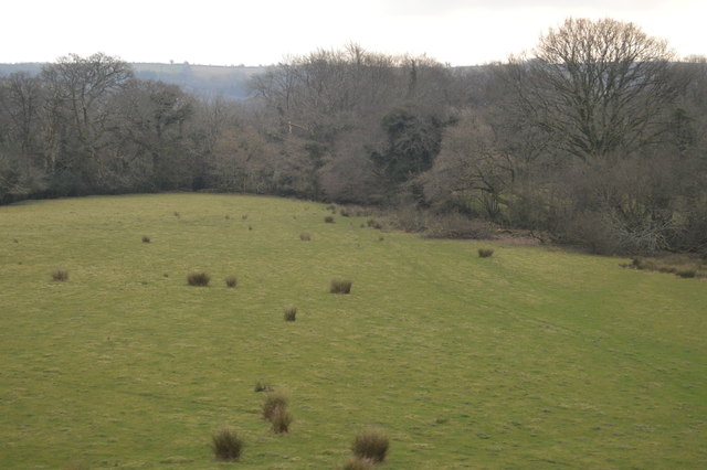
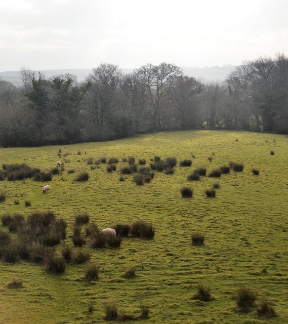
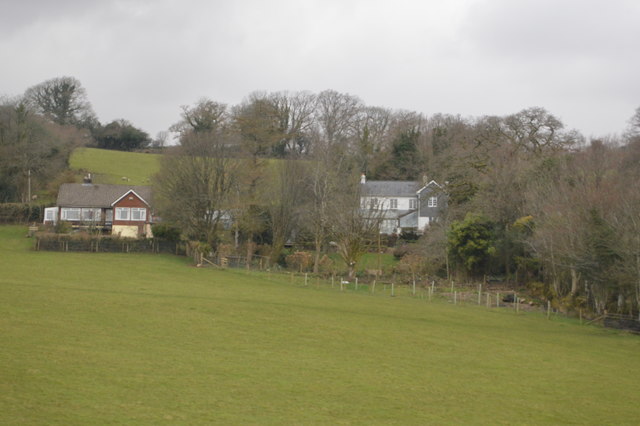
Aishridge Plantation is a sprawling woodland located in Devon, England. Covering an area of approximately 2,000 acres, it is a significant natural and historical landmark in the region. The plantation is part of the wider Dartmoor National Park, renowned for its diverse flora and fauna.
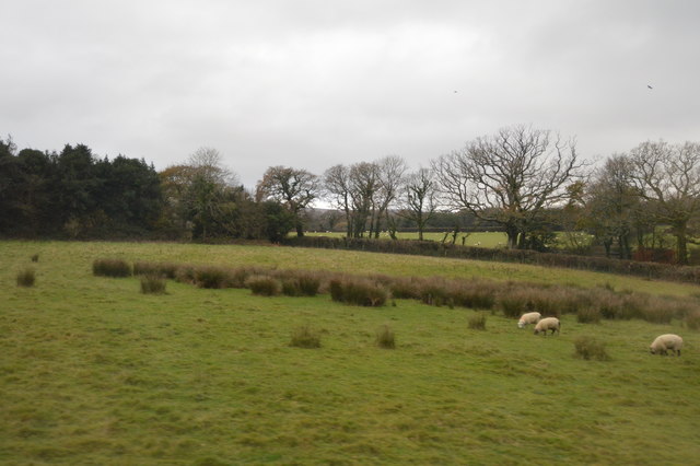
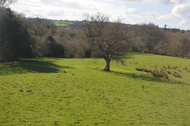
The woodland is predominantly composed of mixed broadleaf trees, including oak, beech, and birch. These majestic trees create a dense and lush canopy, offering a tranquil and picturesque setting for visitors to explore. The forest floor is adorned with a rich carpet of bluebells in the spring, adding to the enchanting ambiance of the plantation.
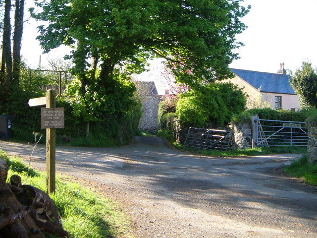
Aishridge Plantation has a long and storied history, dating back centuries. It was originally managed as a hunting ground by the Dukes of Bedford, who owned vast estates in the area. Today, remnants of this past can still be seen, including the ruins of an ancient hunting lodge and a network of old paths and trails.
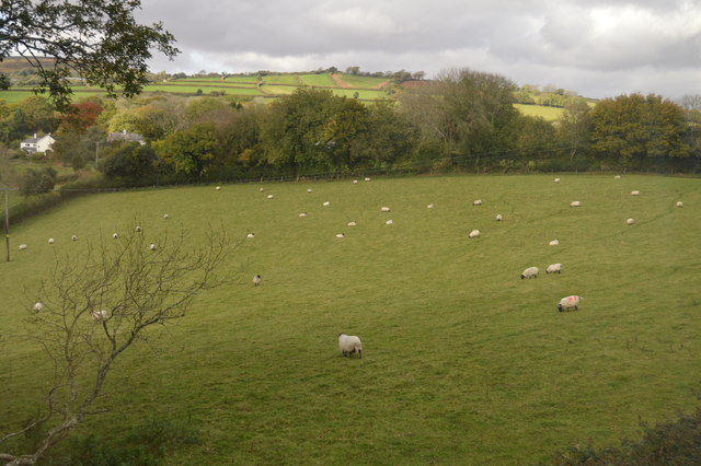
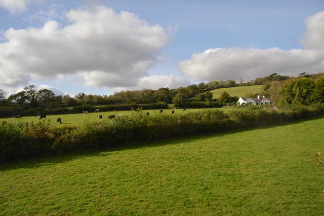
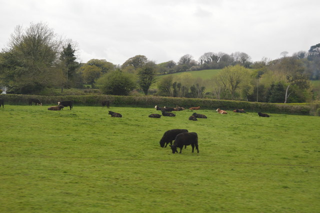
The plantation is a haven for wildlife, providing habitats for a wide array of species. Visitors may spot deer, badgers, and foxes roaming freely, while birdwatchers can observe various avian species, including woodpeckers and owls.
With its natural beauty and historical significance, Aishridge Plantation is a popular destination for outdoor enthusiasts, hikers, and nature lovers. The woodland offers a range of walking trails, allowing visitors to explore its hidden corners and discover its hidden gems. Whether it is a leisurely stroll or an adventurous hike, Aishridge Plantation promises a memorable experience in the heart of Devon's stunning countryside.
If you have any feedback on the listing, please let us know in the comments section below.
Aishridge Plantation Images
Images are sourced within 2km of 50.432113/-3.8618944 or Grid Reference SX6760. Thanks to Geograph Open Source API. All images are credited.
Aishridge Plantation is located at Grid Ref: SX6760 (Lat: 50.432113, Lng: -3.8618944)
Administrative County: Devon
District: South Hams
Police Authority: Devon and Cornwall
What 3 Words
///relieves.frightens.either. Near South Brent, Devon
Nearby Locations
Related Wikis

Badworthy
Badworthy is a village in Devon, England.

Aish, South Brent
Aish is a relatively small hamlet in the English county of Devon. It is near the large village of South Brent. This Aish is not to be confused with the...
Lutton, South Brent
Lutton is a small farming hamlet on the outskirts of South Brent, Devon, England. It is a hillside community on the side of Brent Hill. It is only a small...
South Brent
South Brent is a large village on the southern edge of Dartmoor, England, in the valley of the River Avon. The parish includes the small hamlets of Aish...

Glazebrook House, South Brent
Glazebrook House is a building of historical significance in South Brent, Devon. Part of the house was built in about 1650 and was successively added to...

Brent Hill
Brent Hill is the site of an Iron Age hill fort situated close to South Brent in Devon, England. The fort occupies the top of Brent Hill at approx 311...

Butterdon Hill
Butterdon Hill is on Dartmoor, in southwest England. The remains of a small stone circle and a stone row can be found on the summit. The name Butterdon...

Yellowberries Copse
Yellowberries Copse is an Iron Age enclosure, or possibly hill fort situated South of South Brent in Devon, England. The fort is situated on the North...
Nearby Amenities
Located within 500m of 50.432113,-3.8618944Have you been to Aishridge Plantation?
Leave your review of Aishridge Plantation below (or comments, questions and feedback).