Stone Wood
Wood, Forest in Devon Mid Devon
England
Stone Wood
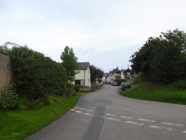
Stone Wood is a picturesque forest located in the county of Devon, England. This enchanting woodland covers an area of approximately 100 acres, offering a tranquil escape for nature enthusiasts and adventurers alike. It is situated on the outskirts of a small village, surrounded by rolling hills and stunning countryside.
The forest is predominantly composed of ancient oak and beech trees, which have stood tall for centuries, creating a dense canopy that filters the sunlight and casts a magical ambiance throughout the woodland. The forest floor is covered in a thick carpet of moss, ferns, and wildflowers, providing a vibrant burst of color during the spring and summer months.
Stone Wood is home to a diverse range of wildlife, making it a haven for nature lovers. Visitors may spot deer gracefully leaping through the undergrowth, squirrels scurrying up trees, and a variety of bird species flitting between the branches. The forest also boasts a small lake, teeming with fish and attracting waterfowl throughout the year.
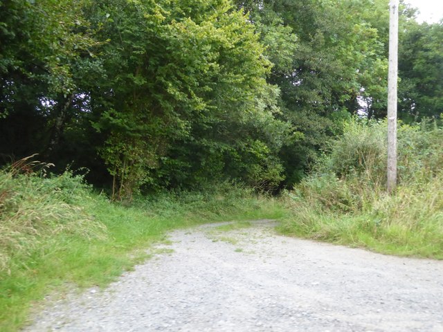
Numerous walking trails wind through the forest, catering to both leisurely strolls and more challenging hikes. These paths allow visitors to explore the beauty of Stone Wood at their own pace, with several designated viewpoints offering breathtaking vistas of the surrounding countryside.
Stone Wood is a popular spot for outdoor activities such as picnicking, birdwatching, and photography. It also serves as an educational resource, with local schools often arranging field trips to teach students about the importance of preserving natural habitats.
Overall, Stone Wood is a captivating destination that showcases the splendor of Devon's natural landscape, providing a peaceful retreat for visitors of all ages.
If you have any feedback on the listing, please let us know in the comments section below.
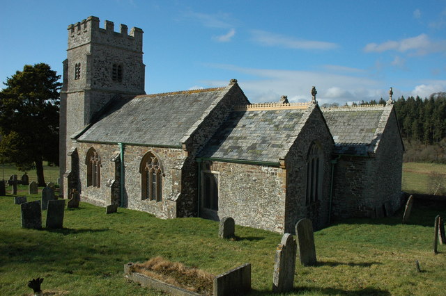
Stone Wood Images
Images are sourced within 2km of 50.878068/-3.8797018 or Grid Reference SS6710. Thanks to Geograph Open Source API. All images are credited.


Stone Wood is located at Grid Ref: SS6710 (Lat: 50.878068, Lng: -3.8797018)
Administrative County: Devon
District: Mid Devon
Police Authority: Devon and Cornwall
What 3 Words
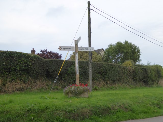
///against.hydration.cheer. Near Chulmleigh, Devon
Nearby Locations
Related Wikis
Eggesford
Eggesford () is a parish in mid-Devon, without its own substantial village. It is served by Eggesford railway station on the Exeter to Barnstaple railway...

Eggesford railway station
Eggesford railway station is a rural station in Devon, England, serving Eggesford, the town of Chulmleigh and surrounding villages. Despite its name, the...

Wembworthy
Wembworthy is a small village, parish and former manor in Mid-Devon, England. It is situated in the valley of the River Taw, 8 miles north-east of the...

Tarka Line
The Tarka Line, also known as the North Devon Line, is a local railway line in Devon, England, linking the city of Exeter with the town of Barnstaple via...
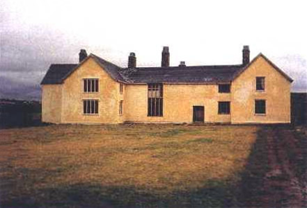
Rashleigh, Wembworthy
Rashleigh is an historic former manor in the parish of Wembworthy, Devon. Rashleigh Barton, the former manor house, is a grade II* listed building, situated...

Brushford, Devon
Brushford is a village and civil parish in the Mid Devon district of Devon in England. According to the 2001 census it had a population of 59. The village...

Coldridge
Coldridge or Coleridge is a village and parish in Devon, England. It appears in the Domesday Book of 1086 as Colrige, which is thought to mean ‘the ridge...
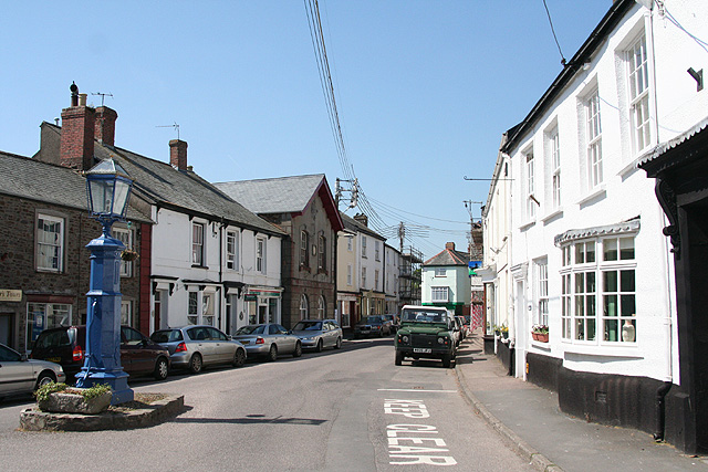
Chulmleigh
Chulmleigh ( CHUM-lee) is a small Saxon hilltop market town and civil parish located in North Devon in the heart of the English county of Devon. It is...
Nearby Amenities
Located within 500m of 50.878068,-3.8797018Have you been to Stone Wood?
Leave your review of Stone Wood below (or comments, questions and feedback).