Great Copse

Wood, Forest in Devon Torridge

England

Great Copse

Ordnance Survey Cut Mark This OS cut mark can be found on the north face of All Saints Church. It marks a point 171.231m above mean sea level.
Ordnance Survey Cut Mark Credit: Adrian Dust

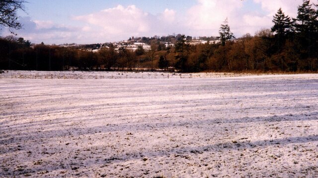
Great Copse is a picturesque woodland located in the county of Devon, England. It covers an area of approximately 500 acres and is known for its diverse range of plant and animal species. The copse is situated in a rural area, surrounded by rolling hills and meadows, providing a tranquil and scenic environment for visitors.

The woodland is predominantly composed of native deciduous trees such as oak, beech, and ash, which create a dense canopy that filters sunlight and creates a cool, shaded atmosphere. This makes Great Copse an ideal destination for nature enthusiasts and hikers who enjoy exploring the natural beauty of the area.

The forest floor is covered in a rich carpet of moss, ferns, and wildflowers, creating a vibrant and colorful undergrowth. This provides a habitat for a variety of wildlife, including birds, squirrels, and rabbits, which can often be spotted darting through the trees or foraging for food.

Great Copse offers several well-marked trails and paths for visitors to explore, allowing them to fully immerse themselves in the peaceful surroundings. These paths lead to hidden clearings, babbling brooks, and small ponds, adding to the charm and enchantment of the woodland.

The copse is open to the public throughout the year, offering a tranquil and serene escape from the hustle and bustle of everyday life. Whether it's for a leisurely stroll, a picnic with family and friends, or simply to enjoy the beauty of nature, Great Copse is a must-visit destination for anyone seeking a peaceful retreat in the heart of Devon.

If you have any feedback on the listing, please let us know in the comments section below.
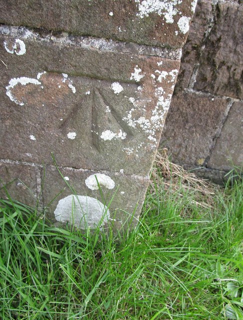
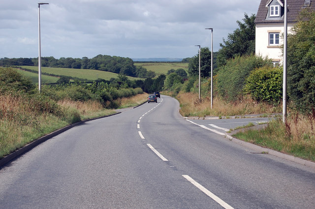
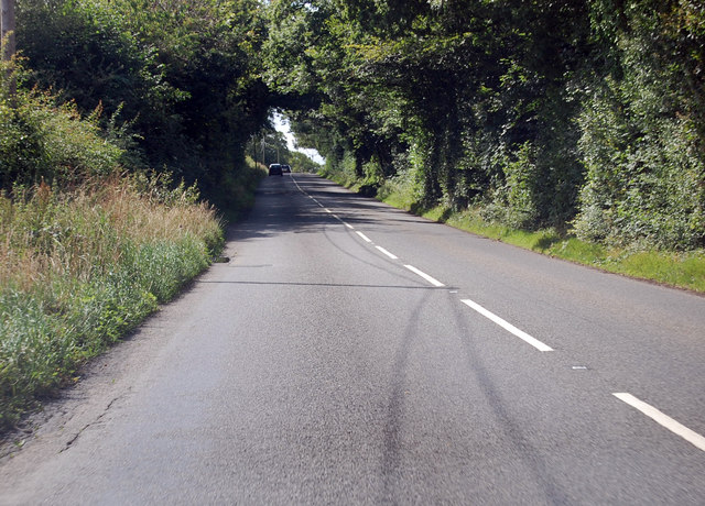
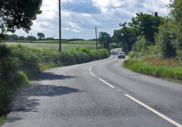
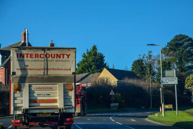
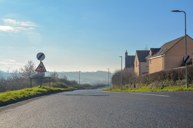
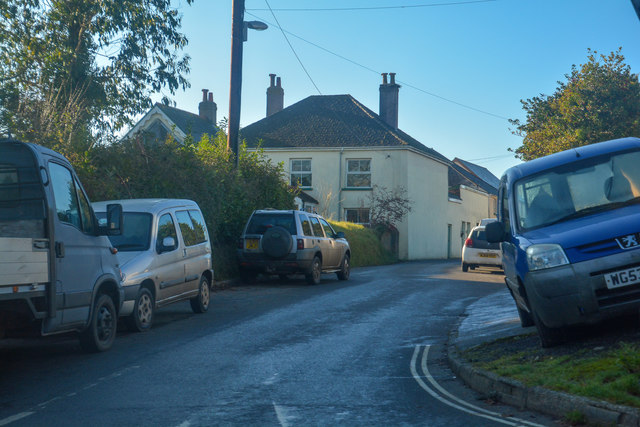
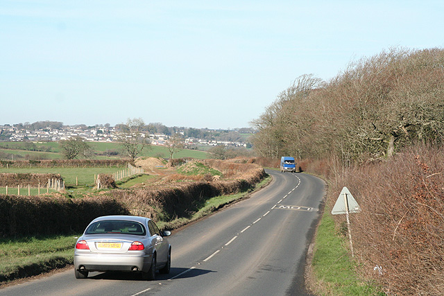
Great Copse Images

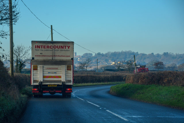
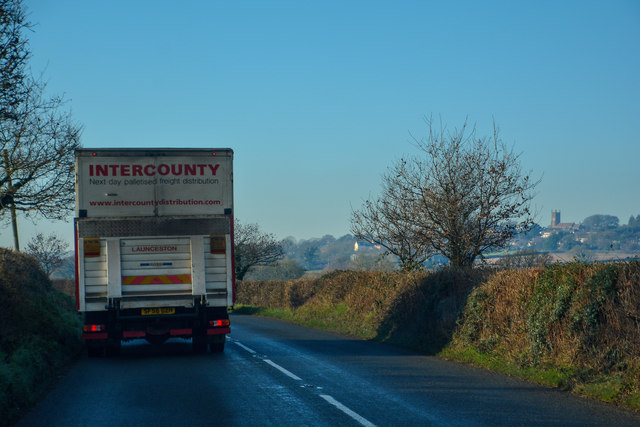
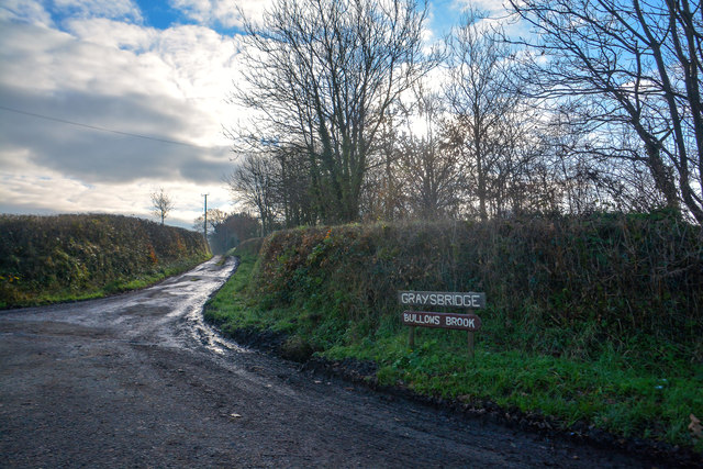
Images are sourced within 2km of 50.841181/-3.9333726 or Grid Reference SS6306. Thanks to Geograph Open Source API. All images are credited.

Ordnance Survey Cut Mark This OS cut mark can be found on the north face of All Saints Church. It marks a point 171.231m above mean sea level.
Ordnance Survey Cut Mark
This OS cut mark can be found on the north face of All Saints Church. It marks a point 171.231m above mean sea level.
A3124 junction with Elms Meadow, Winkleigh Elms Meadow is a new development of houses.
A3124 junction with Elms Meadow, Winkleigh
Elms Meadow is a new development of houses.
A3124 runs past Summers Moor Heading south through a pleasant wooded area.
A3124 runs past Summers Moor
Heading south through a pleasant wooded area.
A3124 towards Coulson Cross
Old Wayside Cross - moved to Bondleigh churchyard Bondleigh Churchyard Cross, old shaft and base, by the footpath, in parish of Bondleigh (West Devon District), South of the Church, amongst the graves.

Grade II listed.
List Entry Number: 1105390 <span class="nowrap"><a title="https://historicengland.org.uk/listing/the-list/list-entry/1105390" rel="nofollow ugc noopener" href="https://historicengland.org.uk/listing/the-list/list-entry/1105390">Link</a><img style="margin-left:2px;" alt="External link" title="External link - shift click to open in new window" src="https://s1.geograph.org.uk/img/external.png" width="10" height="10"/></span>

Scheduled Monument.
List Entry Number: 1013740 <span class="nowrap"><a title="https://historicengland.org.uk/listing/the-list/list-entry/1013740" rel="nofollow ugc noopener" href="https://historicengland.org.uk/listing/the-list/list-entry/1013740">Link</a><img style="margin-left:2px;" alt="External link" title="External link - shift click to open in new window" src="https://s1.geograph.org.uk/img/external.png" width="10" height="10"/></span>

Surveyed

Milestone Society National ID: DVWD_BON
Old Wayside Cross - moved to Bondleigh churchyard
Bondleigh Churchyard Cross, old shaft and base, by the footpath, in parish of Bondleigh (West Devon District), South of the Church, amongst the graves. Grade II listed. List Entry Number: 1105390 LinkExternal link Scheduled Monument. List Entry Number: 1013740 LinkExternal link Surveyed Milestone Society National ID: DVWD_BON
Winkleigh : The B3220 Looking along the B3220 through the Winkleigh parish.
Winkleigh : The B3220
Looking along the B3220 through the Winkleigh parish.
Winkleigh : The B3220 Looking along the B3220 through the Winkleigh parish.
Winkleigh : The B3220
Looking along the B3220 through the Winkleigh parish.
Winkleigh : Track A track heading to Graysbridge off the B3220.
Winkleigh : Track
A track heading to Graysbridge off the B3220.
Winkleigh : The B3220 The road heads into Winkleigh.
Winkleigh : The B3220
The road heads into Winkleigh.
Winkleigh : The A3124 Looking along the A3214.
Winkleigh : The A3124
Looking along the A3214.
Winkleigh : Exeter Road Exeter Road off the A3124.
Winkleigh : Exeter Road
Exeter Road off the A3124.
All Saints' Church, Winkleigh
All Saints' Church, Winkleigh Interior, looking east.
All Saints' Church, Winkleigh
Interior, looking east.
All Saints' Church, Winkleigh Stained-glass window at the East end of the North aisle.
All Saints' Church, Winkleigh
Stained-glass window at the East end of the North aisle.
Winkleigh: war memorial and parish church
The King's Arms, Winkleigh
Fields at Bude Hill
Fields at Bude Hill
Winkleigh: by Cadditon Cross Looking north towards Winkleigh village
Winkleigh: by Cadditon Cross
Looking north towards Winkleigh village
Show me another place!

Great Copse is located at Grid Ref: SS6306 (Lat: 50.841181, Lng: -3.9333726)

Administrative County: Devon

District: Torridge

Police Authority: Devon and Cornwall

What 3 Words

///pedicure.sage.munch. Near Winkleigh, Devon

Related Wikis

Winkleigh

Winkleigh is a civil parish and small village in Devon, England. It is part of the local government area of Torridge District Council. The population of...

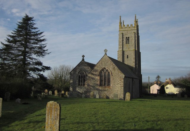
Church of All Saints, Winkleigh

The Church of All Saints is a Church of England parish church in Winkleigh, Devon. The church is a Grade I listed building. == History == The earliest...

Bondleigh

Bondleigh is a village and civil parish in the West Devon district of Devon, England, on the River Taw, north of North Tawton. According to the 2011 census...

Broadwoodkelly

Broadwoodkelly is a village and civil parish in the West Devon district of Devon, England. According to the 2001 census it had a population of 218. The...

Have you been to Great Copse?

Leave your review of Great Copse below (or comments, questions and feedback).