Pitt's Down Copse

Wood, Forest in Devon Torridge

England

Pitt's Down Copse

Ordnance Survey Cut Mark This OS cut mark can be found on the north face of All Saints Church. It marks a point 171.231m above mean sea level.
Ordnance Survey Cut Mark Credit: Adrian Dust

Pitt's Down Copse, located in Devon, England, is a stunning woodland area that offers a serene and picturesque retreat for nature lovers. Stretching across a sprawling area, the copse is encompassed by a diverse range of flora and fauna, making it an ideal spot for wildlife enthusiasts and botany enthusiasts alike.

The copse is predominantly composed of deciduous trees, including oak, beech, ash, and birch, which create a vibrant and ever-changing tapestry of colors throughout the seasons. The dense foliage provides a sheltered habitat for a variety of bird species, such as woodpeckers, owls, and songbirds, making it a haven for birdwatchers.

Tranquil footpaths wind their way through the copse, offering visitors the opportunity to explore the natural beauty at their own pace. These paths are well-maintained, making it accessible for all, including families with young children and those with mobility limitations.

Pitt's Down Copse also boasts a small stream that meanders through its heart, adding to the enchanting atmosphere. The babbling water not only enhances the overall aesthetic but also supports a diverse aquatic ecosystem, with frogs, newts, and various insects making their home in and around the stream.

The copse is a popular destination for nature walks, picnics, and photography enthusiasts, who are captivated by its untouched beauty and tranquil atmosphere. With its rich biodiversity and stunning scenery, Pitt's Down Copse is a must-visit for anyone seeking solace in nature's embrace.

If you have any feedback on the listing, please let us know in the comments section below.

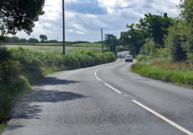
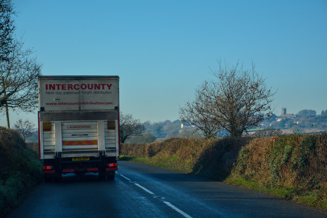
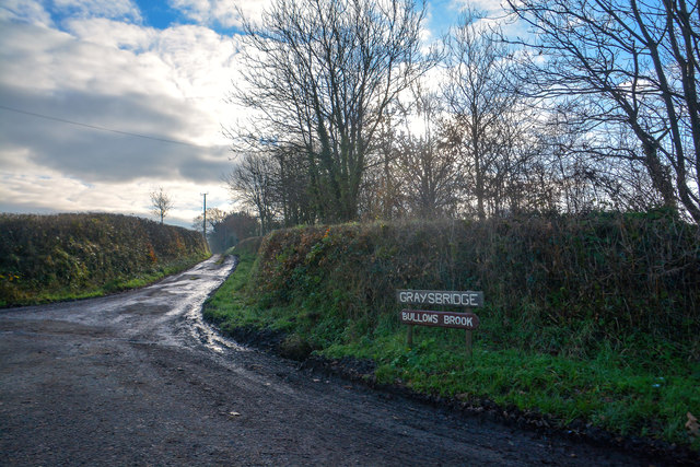
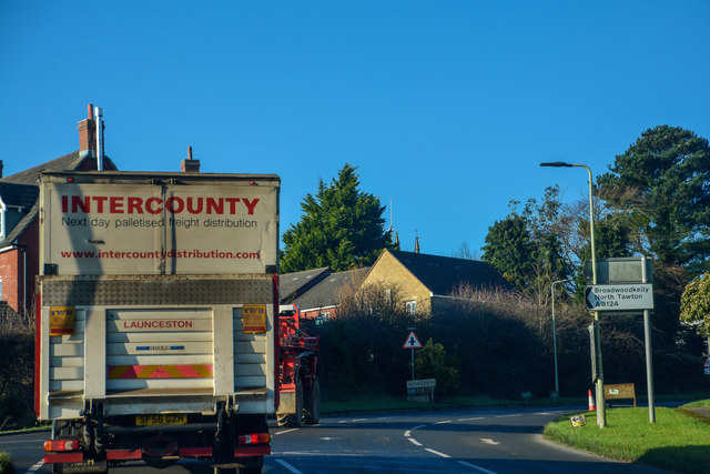
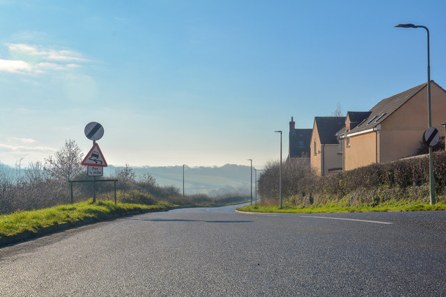
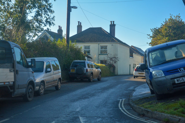
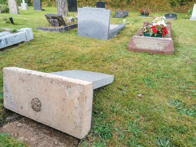
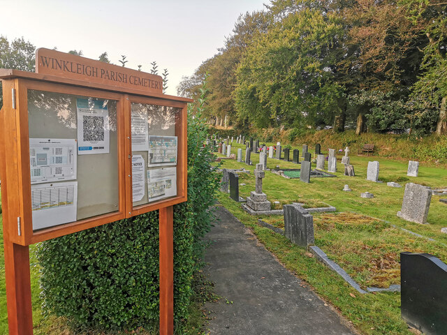
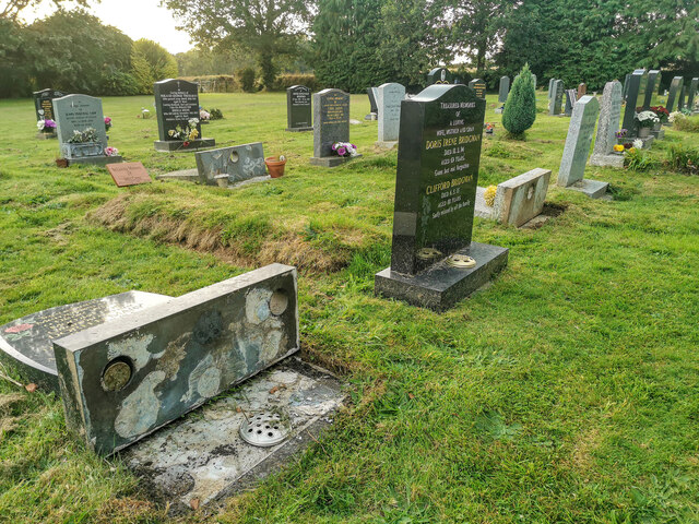
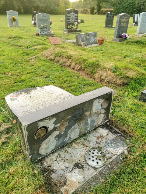
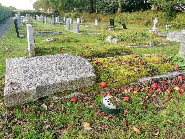
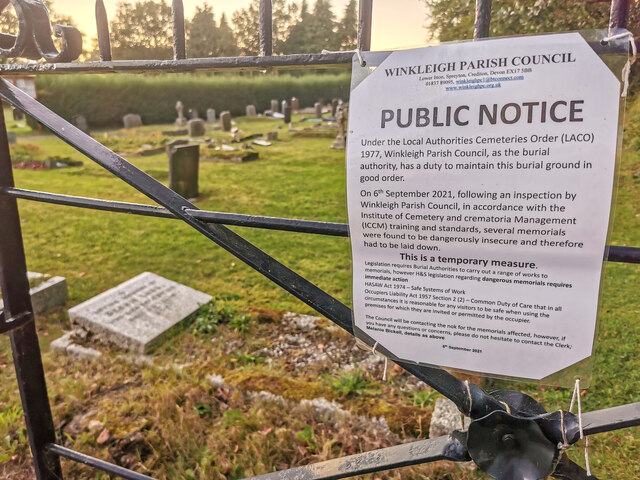
Pitt's Down Copse Images

Images are sourced within 2km of 50.843463/-3.9443477 or Grid Reference SS6306. Thanks to Geograph Open Source API. All images are credited.

Ordnance Survey Cut Mark This OS cut mark can be found on the north face of All Saints Church. It marks a point 171.231m above mean sea level.
Ordnance Survey Cut Mark
This OS cut mark can be found on the north face of All Saints Church. It marks a point 171.231m above mean sea level.
A3214 approaching Winkleigh 30 M.P.H. limit ahead.
A3214 approaching Winkleigh
30 M.P.H. limit ahead.
A3124 junction with Elms Meadow, Winkleigh Elms Meadow is a new development of houses.
A3124 junction with Elms Meadow, Winkleigh
Elms Meadow is a new development of houses.
A3124 runs past Summers Moor Heading south through a pleasant wooded area.
A3124 runs past Summers Moor
Heading south through a pleasant wooded area.
A3124 towards Coulson Cross
Winkleigh : The B3220 Looking along the B3220 through the Winkleigh parish.
Winkleigh : The B3220
Looking along the B3220 through the Winkleigh parish.
Winkleigh : Track A track heading to Graysbridge off the B3220.
Winkleigh : Track
A track heading to Graysbridge off the B3220.
Winkleigh : The B3220 The road heads into Winkleigh.
Winkleigh : The B3220
The road heads into Winkleigh.
Winkleigh : The A3124 Looking along the A3214.
Winkleigh : The A3124
Looking along the A3214.
Winkleigh : Exeter Road Exeter Road off the A3124.
Winkleigh : Exeter Road
Exeter Road off the A3124.
Winkleigh : Winkleigh Cemetery Graves have been laid flat due to health and safety, much to the fury of residents who live in the village.
Winkleigh : Winkleigh Cemetery
Graves have been laid flat due to health and safety, much to the fury of residents who live in the village.
Winkleigh : Winkleigh Cemetery Looking across Winkleigh Cemetery.
Winkleigh : Winkleigh Cemetery
Looking across Winkleigh Cemetery.
Winkleigh : Winkleigh Cemetery Graves have been laid flat due to health and safety, much to the fury of residents who live in the village.
Winkleigh : Winkleigh Cemetery
Graves have been laid flat due to health and safety, much to the fury of residents who live in the village.
Winkleigh : Winkleigh Cemetery Graves have been laid flat due to health and safety, much to the fury of residents who live in the village.
Winkleigh : Winkleigh Cemetery
Graves have been laid flat due to health and safety, much to the fury of residents who live in the village.
Winkleigh : Winkleigh Cemetery Graves have been laid flat due to health and safety, much to the fury of residents who live in the village.
Winkleigh : Winkleigh Cemetery
Graves have been laid flat due to health and safety, much to the fury of residents who live in the village.
Winkleigh : Winkleigh Cemetery A notice on the gate explaining why headstones have been laid flat.
Winkleigh : Winkleigh Cemetery
A notice on the gate explaining why headstones have been laid flat.
All Saints' Church, Winkleigh
All Saints' Church, Winkleigh Interior, looking east.
All Saints' Church, Winkleigh
Interior, looking east.
Show me another place!

Pitt's Down Copse is located at Grid Ref: SS6306 (Lat: 50.843463, Lng: -3.9443477)

Administrative County: Devon

District: Torridge

Police Authority: Devon and Cornwall

What 3 Words

///urban.ventures.rationed. Near Winkleigh, Devon

Related Wikis

Winkleigh

Winkleigh is a civil parish and small village in Devon, England. It is part of the local government area of Torridge District Council. The population of...

Church of All Saints, Winkleigh

The Church of All Saints is a Church of England parish church in Winkleigh, Devon. The church is a Grade I listed building. == History == The earliest...

Broadwoodkelly

Broadwoodkelly is a village and civil parish in the West Devon district of Devon, England. According to the 2001 census it had a population of 218. The...

Bondleigh

Bondleigh is a village and civil parish in the West Devon district of Devon, England, on the River Taw, north of North Tawton. According to the 2011 census...

Nearby Amenities

Located within 500m of 50.843463,-3.9443477
Material: wood
Power: pole
Lat/Long: 50.8431041/-3.950332
Material: wood
Power: pole
Lat/Long: 50.8418524/-3.9501232
Material: wood
Power: pole
Lat/Long: 50.8443214/-3.9506316
Material: wood
Power: pole
Lat/Long: 50.8391004/-3.945968
Material: wood
Power: pole
Lat/Long: 50.8402165/-3.9475659
Material: wood
Power: pole
Lat/Long: 50.8410306/-3.9487553
Material: wood
Power: pole
Lat/Long: 50.8450456/-3.9507617
The data included in this document is from www.openstreetmap.org. The data is made available under ODbL.

Have you been to Pitt's Down Copse?

Leave your review of Pitt's Down Copse below (or comments, questions and feedback).