Vellow Moor Plantation

Wood, Forest in Devon Torridge

England

Vellow Moor Plantation

Ordnance Survey Cut Mark This OS cut mark can be found on the north face of All Saints Church. It marks a point 171.231m above mean sea level.
Ordnance Survey Cut Mark Credit: Adrian Dust

Vellow Moor Plantation, located in Devon, England, is a sprawling woodland area known for its natural beauty and diverse ecosystem. Covering an extensive area of approximately 100 hectares, the plantation is a mix of broadleaf and coniferous trees, creating a rich and varied landscape.

The woodland is home to a plethora of plant and animal species, making it a haven for nature enthusiasts and wildlife enthusiasts alike. Visitors to Vellow Moor Plantation can expect to encounter native trees such as beech, oak, ash, and birch, which provide a colorful display throughout the seasons. The plantation is also home to several species of conifers, including pine and spruce.

Walking trails wind through the plantation, offering visitors the opportunity to explore the area on foot. These trails provide access to the heart of the woodland, where visitors can observe an array of wildlife, including deer, foxes, badgers, and numerous bird species. In spring, the woodland comes alive with the sound of birdsong, and in autumn, the vibrant colors of the changing leaves create a picturesque scene.

Vellow Moor Plantation is not only a haven for wildlife but also a valuable resource for the local community. It serves as a recreational space, providing opportunities for activities such as walking, picnicking, and photography. The plantation is managed sustainably to ensure the preservation of its natural beauty and to protect the delicate balance of its ecosystem.

Overall, Vellow Moor Plantation in Devon offers a serene escape from the hustle and bustle of everyday life, providing a tranquil setting for visitors to connect with nature and enjoy the wonders of this picturesque woodland.

If you have any feedback on the listing, please let us know in the comments section below.

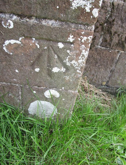
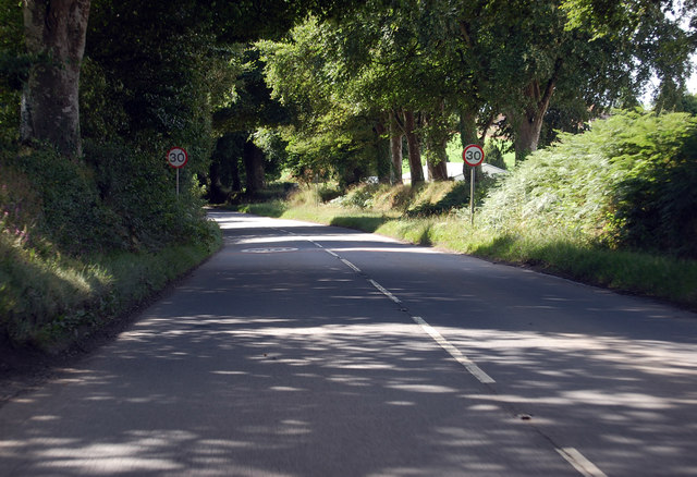
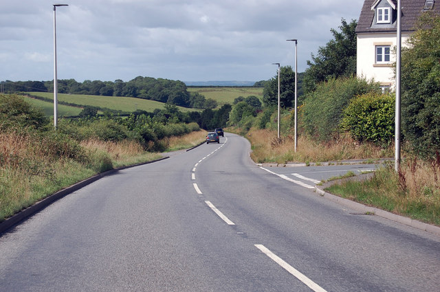
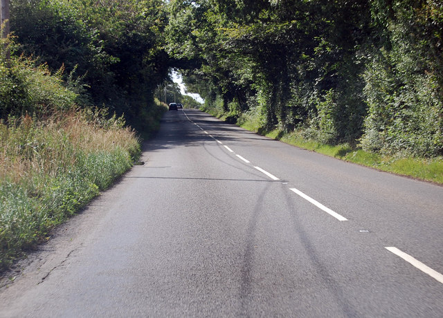
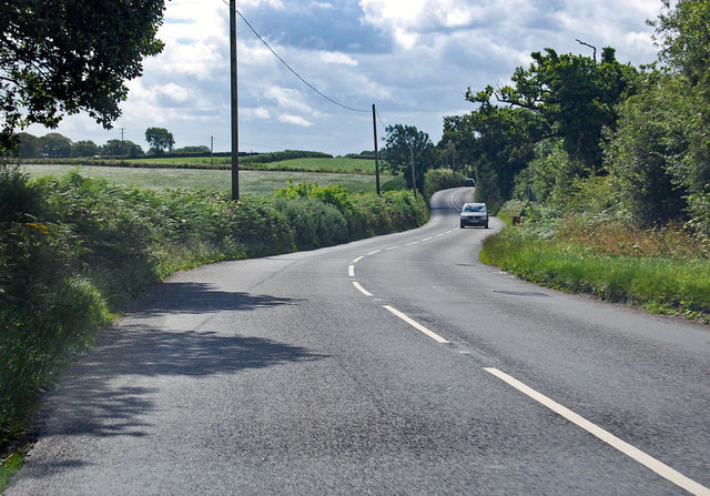
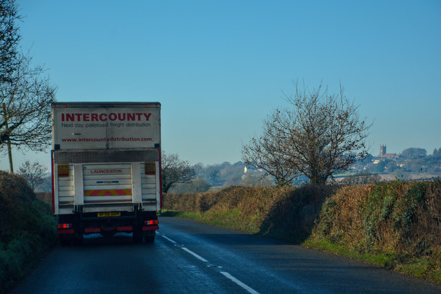
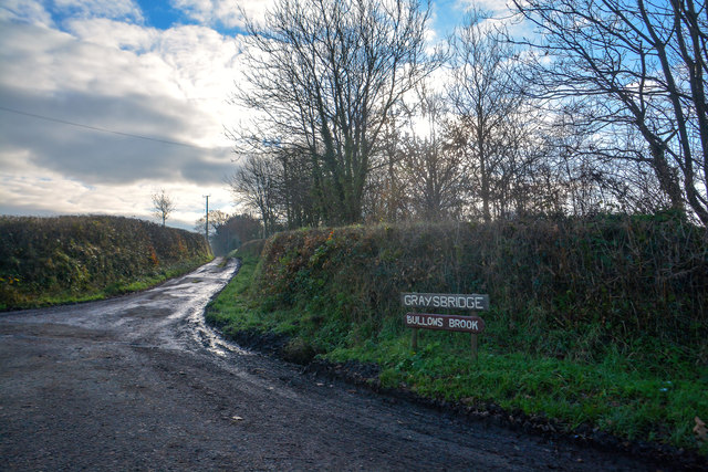
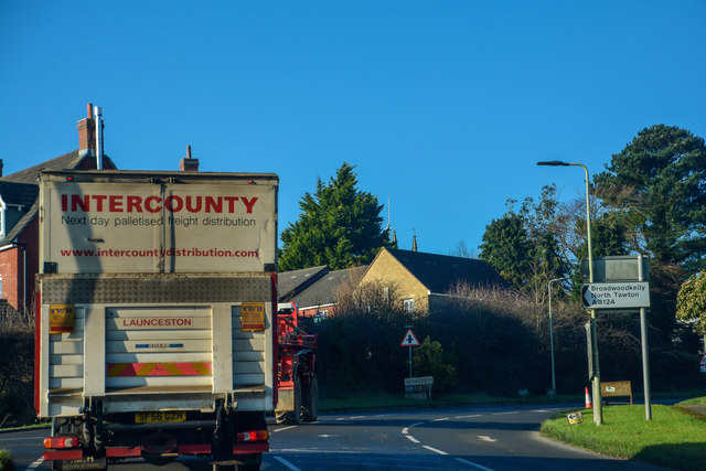
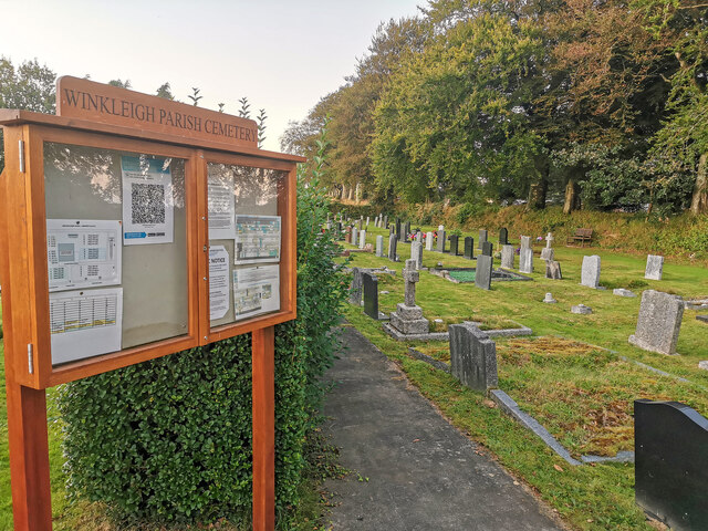
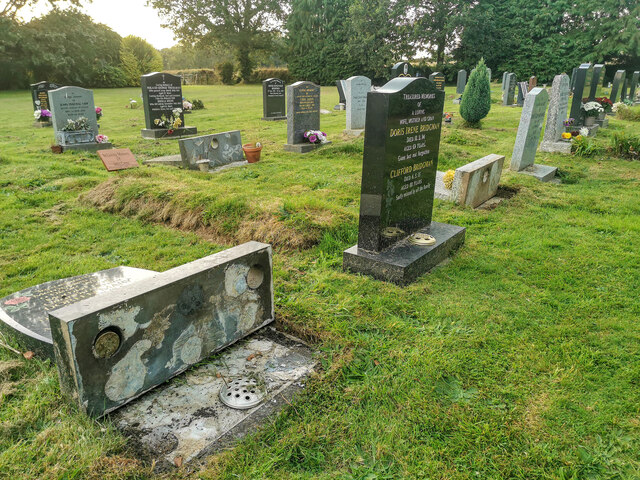
Vellow Moor Plantation Images

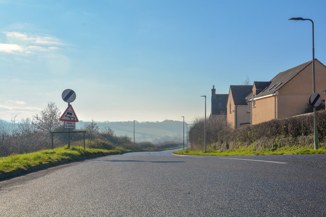
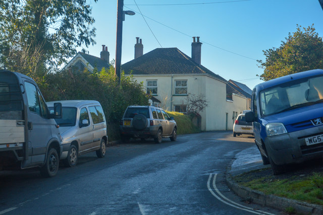
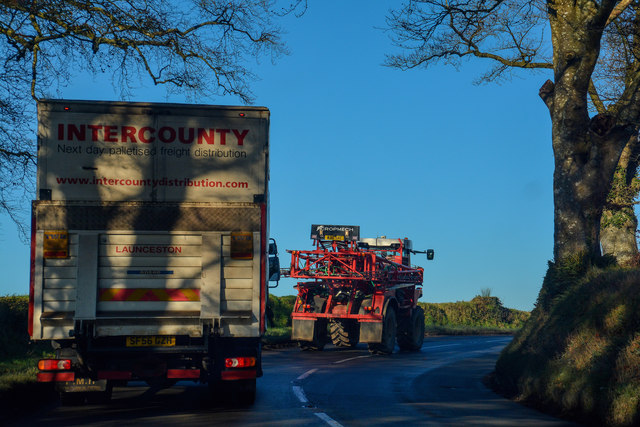
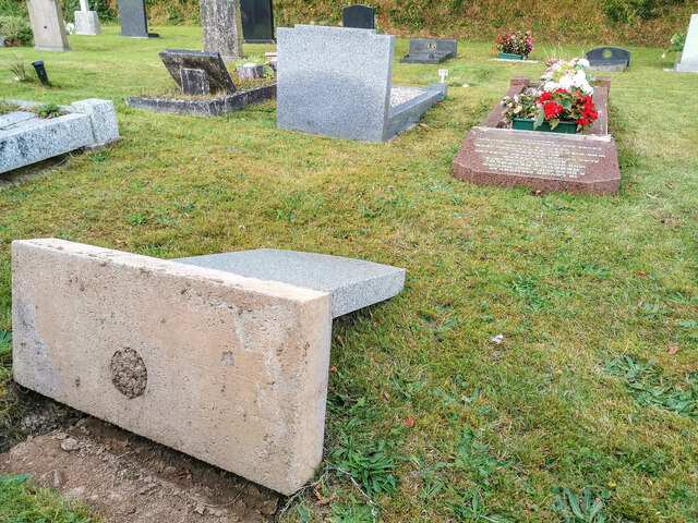
Images are sourced within 2km of 50.845854/-3.9444329 or Grid Reference SS6306. Thanks to Geograph Open Source API. All images are credited.

Ordnance Survey Cut Mark This OS cut mark can be found on the north face of All Saints Church. It marks a point 171.231m above mean sea level.
Ordnance Survey Cut Mark
This OS cut mark can be found on the north face of All Saints Church. It marks a point 171.231m above mean sea level.
A3214 approaching Winkleigh 30 M.P.H. limit ahead.
A3214 approaching Winkleigh
30 M.P.H. limit ahead.
A3124 junction with Elms Meadow, Winkleigh Elms Meadow is a new development of houses.
A3124 junction with Elms Meadow, Winkleigh
Elms Meadow is a new development of houses.
A3124 runs past Summers Moor Heading south through a pleasant wooded area.
A3124 runs past Summers Moor
Heading south through a pleasant wooded area.
A3124 towards Coulson Cross
Winkleigh : The B3220 Looking along the B3220 through the Winkleigh parish.
Winkleigh : The B3220
Looking along the B3220 through the Winkleigh parish.
Winkleigh : Track A track heading to Graysbridge off the B3220.
Winkleigh : Track
A track heading to Graysbridge off the B3220.
Winkleigh : The B3220 The road heads into Winkleigh.
Winkleigh : The B3220
The road heads into Winkleigh.
Winkleigh : The A3124 Looking along the A3214.
Winkleigh : The A3124
Looking along the A3214.
Winkleigh : Exeter Road Exeter Road off the A3124.
Winkleigh : Exeter Road
Exeter Road off the A3124.
Winkleigh : The A3124 Looking along the A3124 through the Winkleigh parish.
Winkleigh : The A3124
Looking along the A3124 through the Winkleigh parish.
Winkleigh : Winkleigh Cemetery Graves have been laid flat due to health and safety, much to the fury of residents who live in the village.
Winkleigh : Winkleigh Cemetery
Graves have been laid flat due to health and safety, much to the fury of residents who live in the village.
Winkleigh : Winkleigh Cemetery Looking across Winkleigh Cemetery.
Winkleigh : Winkleigh Cemetery
Looking across Winkleigh Cemetery.
Winkleigh : Winkleigh Cemetery Graves have been laid flat due to health and safety, much to the fury of residents who live in the village.
Winkleigh : Winkleigh Cemetery
Graves have been laid flat due to health and safety, much to the fury of residents who live in the village.
Winkleigh : Winkleigh Cemetery Graves have been laid flat due to health and safety, much to the fury of residents who live in the village.
Winkleigh : Winkleigh Cemetery
Graves have been laid flat due to health and safety, much to the fury of residents who live in the village.
Winkleigh : Winkleigh Cemetery Graves have been laid flat due to health and safety, much to the fury of residents who live in the village.
Winkleigh : Winkleigh Cemetery
Graves have been laid flat due to health and safety, much to the fury of residents who live in the village.
Winkleigh : Winkleigh Cemetery A notice on the gate explaining why headstones have been laid flat.
Winkleigh : Winkleigh Cemetery
A notice on the gate explaining why headstones have been laid flat.
All Saints' Church, Winkleigh
Show me another place!

Vellow Moor Plantation is located at Grid Ref: SS6306 (Lat: 50.845854, Lng: -3.9444329)

Administrative County: Devon

District: Torridge

Police Authority: Devon and Cornwall

What 3 Words

///comply.surprises.inferior. Near Winkleigh, Devon

Related Wikis

Winkleigh

Winkleigh is a civil parish and small village in Devon, England. It is part of the local government area of Torridge District Council. The population of...

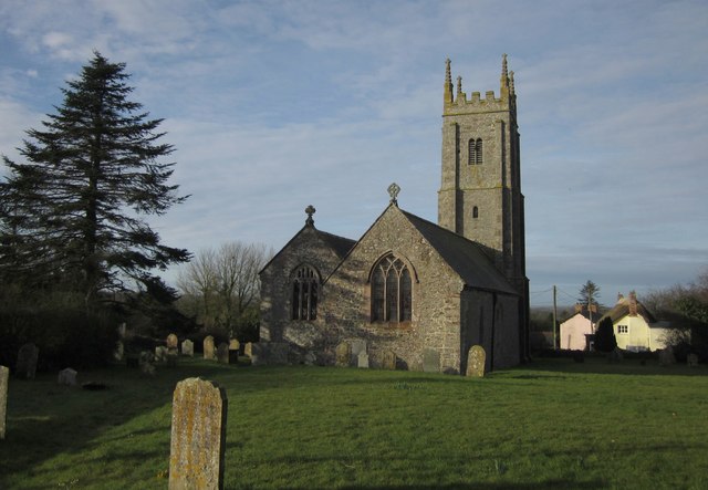
Church of All Saints, Winkleigh

The Church of All Saints is a Church of England parish church in Winkleigh, Devon. The church is a Grade I listed building. == History == The earliest...

Broadwoodkelly

Broadwoodkelly is a village and civil parish in the West Devon district of Devon, England. According to the 2001 census it had a population of 218. The...

RAF Winkleigh

Royal Air Force Winkleigh, or more simply RAF Winkleigh, is a former Royal Air Force satellite station located near to Winkleigh, Devon and south of Barnstaple...

Nearby Amenities

Located within 500m of 50.845854,-3.9444329
Material: wood
Power: pole
Lat/Long: 50.8443214/-3.9506316
Material: wood
Power: pole
Lat/Long: 50.8461157/-3.9510795
Material: wood
Power: pole
Lat/Long: 50.8450456/-3.9507617
The data included in this document is from www.openstreetmap.org. The data is made available under ODbL.

Have you been to Vellow Moor Plantation?

Leave your review of Vellow Moor Plantation below (or comments, questions and feedback).