Walson Moor

Wood, Forest in Devon West Devon

England

Walson Moor

Diverted Footpath Avoiding Handsford There is no need to have a footpath going through this property so a diversion was allowed. It does not spoil the enjoyment of the path.
Diverted Footpath Avoiding Handsford Credit: James Emmans

Walson Moor is a picturesque woodland located in Devon, England. Covering an expansive area, it is renowned for its natural beauty and rich biodiversity. The moor is characterized by its dense, ancient woodlands, making it an ideal destination for nature enthusiasts and hikers.

The woodland is home to a wide variety of flora and fauna, including towering oak and beech trees, providing a lush canopy that offers shade and shelter. Bluebells, wild garlic, and ferns carpet the forest floor, creating a captivating and vibrant display during the spring and summer months.

Walson Moor is also a haven for wildlife. Visitors may catch a glimpse of deer, foxes, badgers, and numerous bird species, including woodpeckers and owls. The peaceful ambiance of the woodland allows for a tranquil retreat, with the sounds of chirping birds and rustling leaves providing a soothing soundtrack.

The moor offers a network of well-maintained footpaths and trails, allowing visitors to explore the area at their own pace. It is a popular destination for walking, hiking, and nature photography. Along the trails, there are several designated picnic areas, providing a perfect opportunity to take a break and enjoy the scenic surroundings.

Walson Moor is easily accessible, with ample parking facilities and nearby amenities. Its proximity to nearby towns and villages makes it an ideal day trip for both locals and tourists seeking an escape into nature. Overall, this enchanting woodland offers a serene and captivating experience for all who venture into its depths.

If you have any feedback on the listing, please let us know in the comments section below.
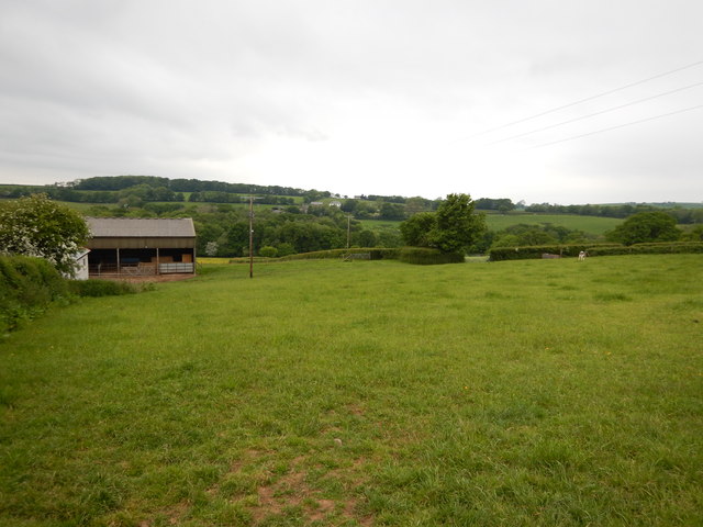
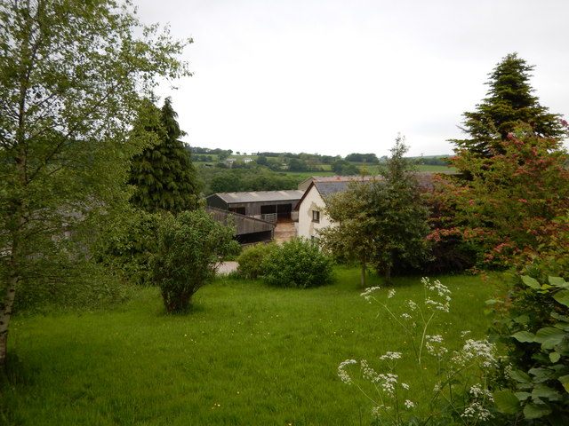
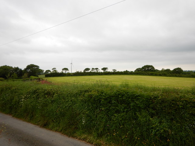
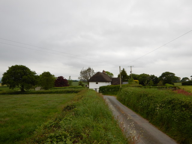
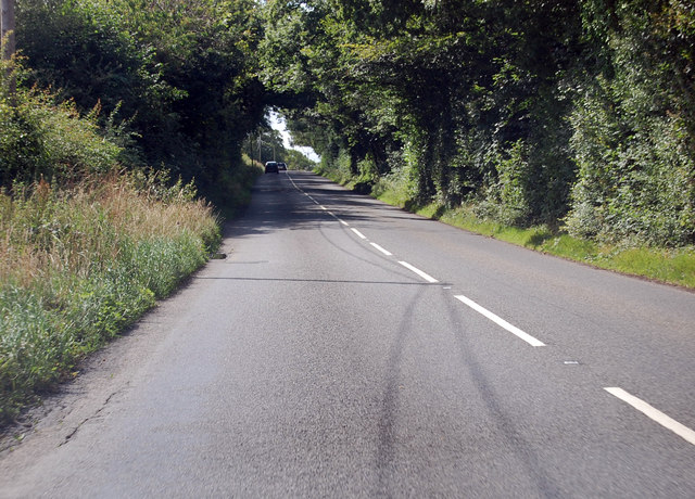
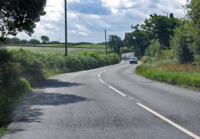
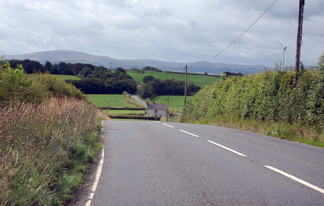
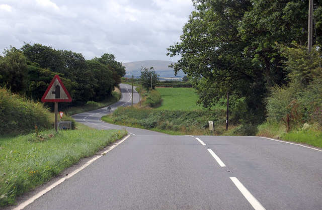
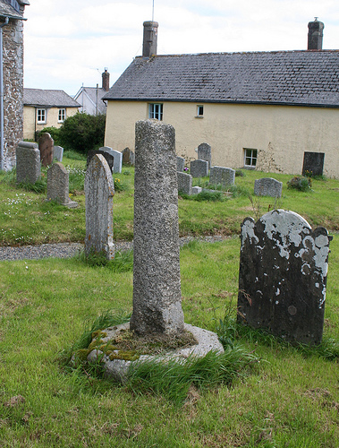
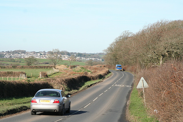
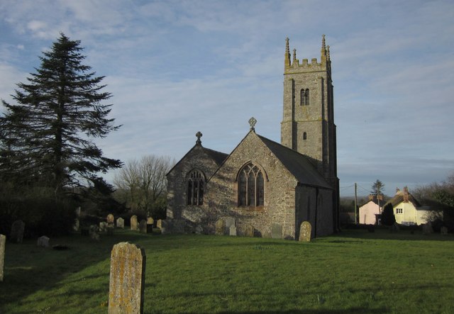
Walson Moor Images

Images are sourced within 2km of 50.827066/-3.943368 or Grid Reference SS6304. Thanks to Geograph Open Source API. All images are credited.

Diverted Footpath Avoiding Handsford There is no need to have a footpath going through this property so a diversion was allowed. It does not spoil the enjoyment of the path.
Diverted Footpath Avoiding Handsford
There is no need to have a footpath going through this property so a diversion was allowed. It does not spoil the enjoyment of the path.
Handsford The buildings seem to be converted into dwellings.
Handsford
The buildings seem to be converted into dwellings.
Field near Bondleigh Moor House
Rural Road going past Bondleigh Moor House
A3124 runs past Summers Moor Heading south through a pleasant wooded area.
A3124 runs past Summers Moor
Heading south through a pleasant wooded area.
A3124 towards Coulson Cross
A3124 south from Cadditon Cross The hills of Dartmoor in the distance.
A3124 south from Cadditon Cross
The hills of Dartmoor in the distance.
A3124 approaching a junction The road to Heywoods, Handsford and Lake approaches on the left.
A3124 approaching a junction
The road to Heywoods, Handsford and Lake approaches on the left.
Old Wayside Cross - moved to Bondleigh churchyard Bondleigh Churchyard Cross, old shaft and base, by the footpath, in parish of Bondleigh (West Devon District), South of the Church, amongst the graves.

Grade II listed.
List Entry Number: 1105390 <span class="nowrap"><a title="https://historicengland.org.uk/listing/the-list/list-entry/1105390" rel="nofollow ugc noopener" href="https://historicengland.org.uk/listing/the-list/list-entry/1105390">Link</a><img style="margin-left:2px;" alt="External link" title="External link - shift click to open in new window" src="https://s1.geograph.org.uk/img/external.png" width="10" height="10"/></span>

Scheduled Monument.
List Entry Number: 1013740 <span class="nowrap"><a title="https://historicengland.org.uk/listing/the-list/list-entry/1013740" rel="nofollow ugc noopener" href="https://historicengland.org.uk/listing/the-list/list-entry/1013740">Link</a><img style="margin-left:2px;" alt="External link" title="External link - shift click to open in new window" src="https://s1.geograph.org.uk/img/external.png" width="10" height="10"/></span>

Surveyed

Milestone Society National ID: DVWD_BON
Old Wayside Cross - moved to Bondleigh churchyard
Bondleigh Churchyard Cross, old shaft and base, by the footpath, in parish of Bondleigh (West Devon District), South of the Church, amongst the graves. Grade II listed. List Entry Number: 1105390 LinkExternal link Scheduled Monument. List Entry Number: 1013740 LinkExternal link Surveyed Milestone Society National ID: DVWD_BON
Broadwoodkelly: Corstone Farm The left wing appears to be of cob construction. Looking north east
Broadwoodkelly: Corstone Farm
The left wing appears to be of cob construction. Looking north east
Broadwoodkelly: towards Lower Moor Looking south on Taylor’s Down. The sun has bleached out Dartmoor, visible to the naked eye, on the horizon
Broadwoodkelly: towards Lower Moor
Looking south on Taylor’s Down. The sun has bleached out Dartmoor, visible to the naked eye, on the horizon
Winkleigh: by Cadditon Cross Looking north towards Winkleigh village
Winkleigh: by Cadditon Cross
Looking north towards Winkleigh village
Winkleigh: near Coulson Looking north-north-west towards Winkleigh village
Winkleigh: near Coulson
Looking north-north-west towards Winkleigh village
Winkleigh: near Riddistone Cross Looking north-north-west over Great Copse in the direction of Winkleigh
Winkleigh: near Riddistone Cross
Looking north-north-west over Great Copse in the direction of Winkleigh
Broadwoodkelly: east of the village Looking west-south-west towards Dartmoor, just visible on the horizon
Broadwoodkelly: east of the village
Looking west-south-west towards Dartmoor, just visible on the horizon
Broadwoodkelly: by the church Looking east. The lane on the right leads to Shoresgate Cross and Winkleigh
Broadwoodkelly: by the church
Looking east. The lane on the right leads to Shoresgate Cross and Winkleigh
Broadwoodkelly: All Saints’ Church The church, dedicated to All Saints, has a tower with set-back buttresses. The medieval dedication has been lost. Looking north west
Broadwoodkelly: All Saints’ Church
The church, dedicated to All Saints, has a tower with set-back buttresses. The medieval dedication has been lost. Looking north west
Sampford Courtenay: near Bondleigh Moor The road to the left leads to Honeychurch. Turn right for Corstone. Looking north west
Sampford Courtenay: near Bondleigh Moor
The road to the left leads to Honeychurch. Turn right for Corstone. Looking north west
Show me another place!

Walson Moor is located at Grid Ref: SS6304 (Lat: 50.827066, Lng: -3.943368)

Administrative County: Devon

District: West Devon

Police Authority: Devon and Cornwall

What 3 Words

///ballooned.paramedic.searcher. Near Winkleigh, Devon

Related Wikis

Broadwoodkelly

Broadwoodkelly is a village and civil parish in the West Devon district of Devon, England. According to the 2001 census it had a population of 218. The...

Bondleigh

Bondleigh is a village and civil parish in the West Devon district of Devon, England, on the River Taw, north of North Tawton. According to the 2011 census...

Honeychurch, Devon

Honeychurch is a village and former civil parish now in the parish of Sampford Courtenay, in the West Devon district of the English county of Devon. It...

Winkleigh

Winkleigh is a civil parish and small village in Devon, England. It is part of the local government area of Torridge District Council. The population of...

Nearby Amenities

Located within 500m of 50.827066,-3.943368
Material: wood
Power: pole
Lat/Long: 50.825867/-3.9410179
Material: wood
Power: pole
Lat/Long: 50.8286848/-3.9417177
Material: wood
Power: pole
Lat/Long: 50.8267316/-3.9411913
Material: wood
Power: pole
Lat/Long: 50.8231472/-3.9403459
Material: wood
Power: pole
Lat/Long: 50.8240664/-3.9406199
Material: wood
Power: pole
Lat/Long: 50.8296869/-3.9420897
Material: wood
Power: pole
Lat/Long: 50.830779/-3.942462
Material: wood
Power: pole
Lat/Long: 50.8249613/-3.9408339
Material: wood
Power: pole
Lat/Long: 50.827717/-3.9414845
The data included in this document is from www.openstreetmap.org. The data is made available under ODbL.

Have you been to Walson Moor?

Leave your review of Walson Moor below (or comments, questions and feedback).