Sloley's Wood

Wood, Forest in Devon North Devon

England

Sloley's Wood

St Peter’s Church, Bratton Fleming
St Peter’s Church, Bratton Fleming Credit: David Martin

Sloley's Wood is a picturesque forest located in Devon, England. Covering an area of approximately 100 acres, this woodland is a haven for nature lovers and outdoor enthusiasts. The wood is situated near the village of Sloley, surrounded by rolling hills and scenic countryside.

One of the notable features of Sloley's Wood is its diverse range of tree species. The woodland is home to a mixture of native trees such as oak, beech, and ash, creating a rich and vibrant ecosystem. The canopy of the forest provides a sheltered and peaceful environment, making it an ideal spot for walking, birdwatching, and nature photography.

The forest floor of Sloley's Wood is adorned with a variety of wildflowers, ferns, and mosses, adding to its natural beauty. The wood also boasts a network of well-maintained walking trails, allowing visitors to explore and discover the hidden gems within.

In terms of wildlife, Sloley's Wood is home to a plethora of animal species. Deer, foxes, and badgers can often be spotted roaming through the undergrowth, while birds such as woodpeckers and owls can be heard singing from the treetops. The wood provides a vital habitat for these creatures, contributing to the overall biodiversity of the region.

Overall, Sloley's Wood offers a tranquil and enchanting escape for those seeking solace in nature. Its stunning scenery, diverse flora and fauna, and well-preserved trails make it a must-visit destination for nature enthusiasts and anyone looking to reconnect with the natural world.

If you have any feedback on the listing, please let us know in the comments section below.

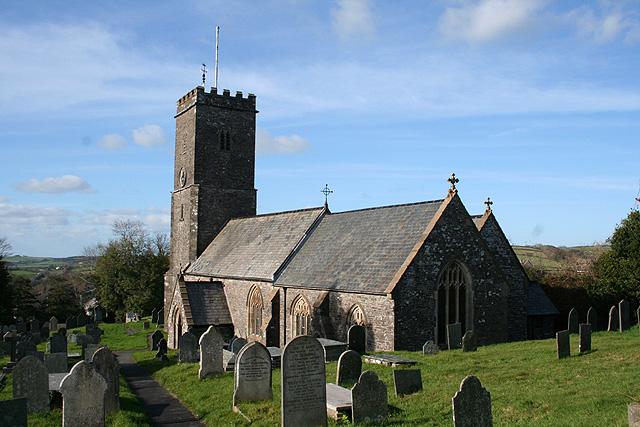
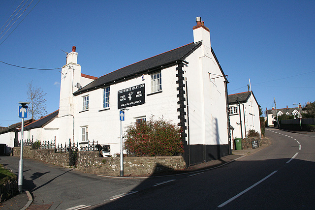
Sloley's Wood Images

Images are sourced within 2km of 51.13396/-3.955485 or Grid Reference SS6339. Thanks to Geograph Open Source API. All images are credited.

St Peter’s Church, Bratton Fleming
The White Hart, Bratton Fleming The pub appears to be out of business.
The White Hart, Bratton Fleming
The pub appears to be out of business.
View over Bratton Fleming rooftops
Chapel and view, Bratton Fleming
St Peter's Church, Bratton Fleming
St Peter's Church, Bratton Fleming: interior
Bratton Fleming churchyard
Bratton Fleming: lane to Knightacott Looking north east. The formation of the Lynton & Barnstaple Railway, closed in 1935, can be seen one field down from the skyline
Bratton Fleming: lane to Knightacott
Looking north east. The formation of the Lynton & Barnstaple Railway, closed in 1935, can be seen one field down from the skyline
Arlington: lane to Coombeshead Farm access road. Looking west-south-west
Arlington: lane to Coombeshead
Farm access road. Looking west-south-west
Bratton Fleming: St Peter’s church The church – nave, chancel, south porch and north aisle – was rebuilt in 1855-61 and only the west tower carries any character through from previous centuries. Looking west-north-west
Bratton Fleming: St Peter’s church
The church – nave, chancel, south porch and north aisle – was rebuilt in 1855-61 and only the west tower carries any character through from previous centuries. Looking west-north-west
Bratton Fleming: river west of the village By the bridge on the public bridleway to Smythapark and Loxhore. The river is a tributary of the river Yeo and at one time powered watermills in Bratton and Loxhore parishes. Looking north-north-east
Bratton Fleming: river west of the village
By the bridge on the public bridleway to Smythapark and Loxhore. The river is a tributary of the river Yeo and at one time powered watermills in Bratton and Loxhore parishes. Looking north-north-east
Loxhore: Smythapark Wood On the edge of the wood. The bridleway leads to Smythapark and Loxhore. Looking west-north-west
Loxhore: Smythapark Wood
On the edge of the wood. The bridleway leads to Smythapark and Loxhore. Looking west-north-west
Bratton Fleming: near Bratton Mill Bratton Mill once supplied the village with its meal and flour but is now a private residence. Looking south west
Bratton Fleming: near Bratton Mill
Bratton Mill once supplied the village with its meal and flour but is now a private residence. Looking south west
Bratton Fleming: course of the Lynton & Barnstaple Railway Near Holywell, looking south west. The formation here looks surprisingly wide for a single-track narrow-gauge railway. The station at Bratton was some way to the north, behind the camera
Bratton Fleming: course of the Lynton & Barnstaple Railway
Near Holywell, looking south west. The formation here looks surprisingly wide for a single-track narrow-gauge railway. The station at Bratton was some way to the north, behind the camera
Bratton Fleming: near Holywell Looking west-south-west over the valley west of the village
Bratton Fleming: near Holywell
Looking west-south-west over the valley west of the village
Bratton Fleming: towards Sloley’s Wood The valley north west of Bratton Fleming village, looking north west. Above the plantation across the valley on the left is the site of a large settlement, perhaps dating from Celtic times
Bratton Fleming: towards Sloley’s Wood
The valley north west of Bratton Fleming village, looking north west. Above the plantation across the valley on the left is the site of a large settlement, perhaps dating from Celtic times
Bratton Fleming: The White Hart Inn By the main road through the village. Looking north east
Bratton Fleming: The White Hart Inn
By the main road through the village. Looking north east
Bratton Fleming: approaching Loxhore Mill Bridge Looking west-south-west on the lane to Halsey Lake and Loxhore
Bratton Fleming: approaching Loxhore Mill Bridge
Looking west-south-west on the lane to Halsey Lake and Loxhore
Show me another place!

Sloley's Wood is located at Grid Ref: SS6339 (Lat: 51.13396, Lng: -3.955485)

Administrative County: Devon

District: North Devon

Police Authority: Devon and Cornwall

What 3 Words

///gurgling.regime.breaches. Near Combe Martin, Devon

Related Wikis

Smythapark

Smythapark is the site of an Iron Age hill fort, situated close to the village of Bratton Fleming in Devon, England. The site is on a hillside forming...

Bratton Fleming railway station

Bratton Fleming railway station is a former station on the Lynton and Barnstaple Railway in England, a narrow gauge line that ran through Exmoor from Barnstaple...

Bratton Fleming

Bratton Fleming is a large village, civil parish and former manor in Devon, England, about 6 miles (10 km) north-east of Barnstaple and near the western...

Manor of Loxhore

The Manor of Loxhore was a manor in the parish of Loxhore, North Devon, England. == Descent of the manor == === de Meulles === In the Domesday Book of 1086...

Nearby Amenities

Located within 500m of 51.13396,-3.955485
Tidcombe House
Place: isolated_dwelling
Lat/Long: 51.1374467/-3.9564421
Barrier: stile
Lat/Long: 51.1383959/-3.9553384
Generator Method: photovoltaic
Generator Output Electricity: yes
Generator Source: solar
Generator Type: solar_photovoltaic_panel
Location: roof
Power: generator
Lat/Long: 51.137427/-3.956834
The data included in this document is from www.openstreetmap.org. The data is made available under ODbL.

Have you been to Sloley's Wood?

Leave your review of Sloley's Wood below (or comments, questions and feedback).