Chilvers Coton
Settlement in Warwickshire Nuneaton and Bedworth
England
Chilvers Coton
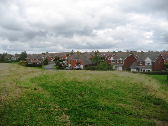
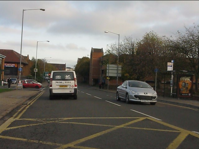
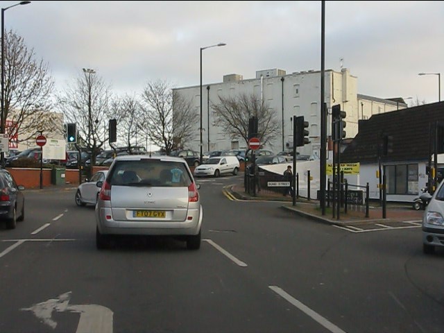
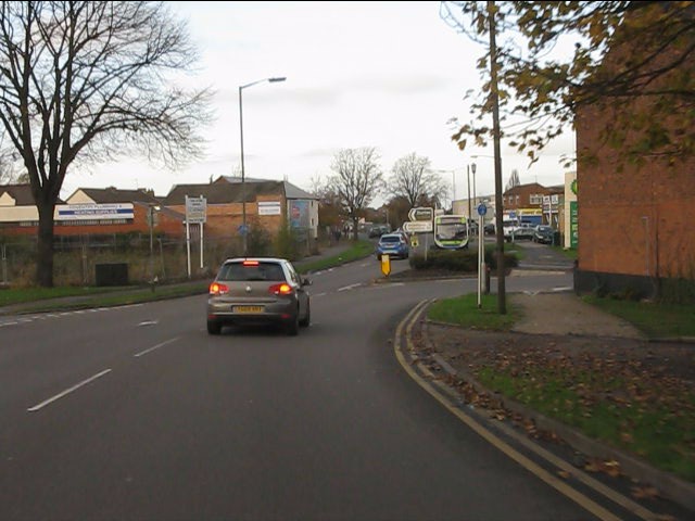
Chilvers Coton is a small village located in Warwickshire, England. It is situated approximately 1.5 miles north of Nuneaton town center and falls within the borough of Nuneaton and Bedworth. The village is known for its historical significance and rural charm.
Chilvers Coton is home to a population of around 7,000 residents, who enjoy a peaceful and friendly community atmosphere. The village boasts a range of amenities, including local shops, pubs, and restaurants, providing residents with convenient access to everyday essentials and leisure activities.
The village is surrounded by picturesque countryside, offering residents and visitors opportunities for outdoor activities and scenic walks. The nearby Hartshill Hayes Country Park is a popular destination for nature enthusiasts, providing stunning views and recreational facilities.
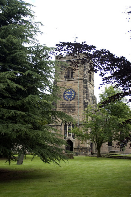
Chilvers Coton has a rich history dating back to the Domesday Book of 1086. The village retains several historic buildings and landmarks, including the St. Giles Church, which dates back to the 12th century. This beautiful church is known for its impressive architecture and stained glass windows.
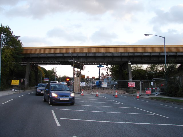
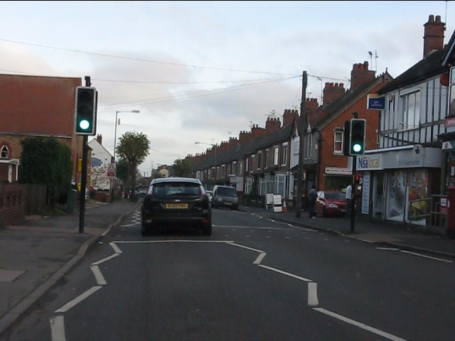
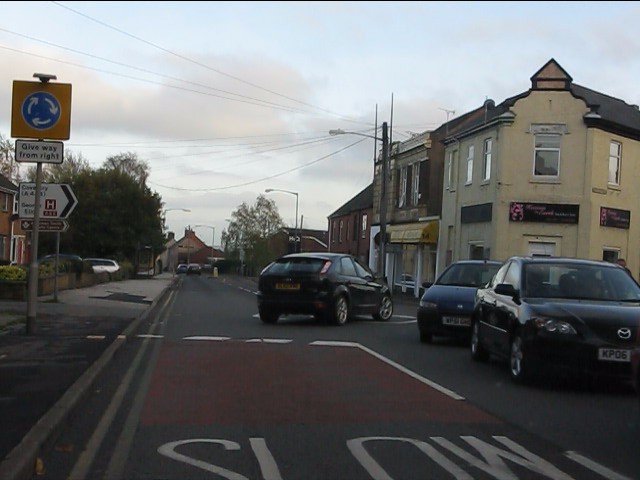
Transport links in Chilvers Coton are excellent, with easy access to major road networks and public transportation services. The village is well connected to nearby towns and cities, allowing residents to commute or explore the wider region with ease.
In summary, Chilvers Coton is a charming village with a rich history, picturesque surroundings, and a close-knit community. It offers a peaceful and idyllic place to live with convenient access to amenities and excellent transport links.
If you have any feedback on the listing, please let us know in the comments section below.
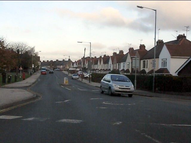
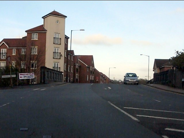
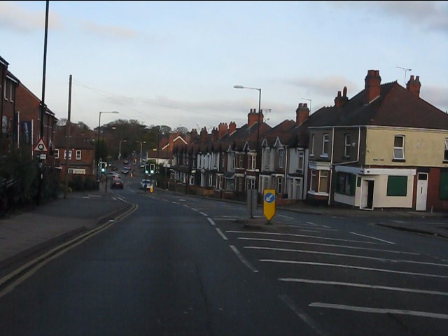
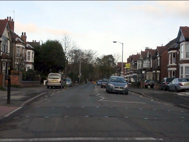
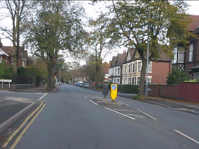
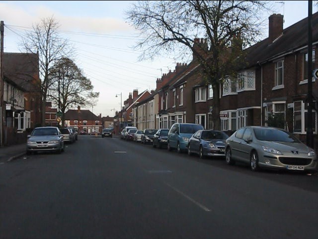
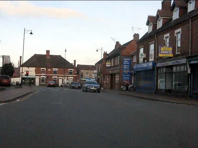
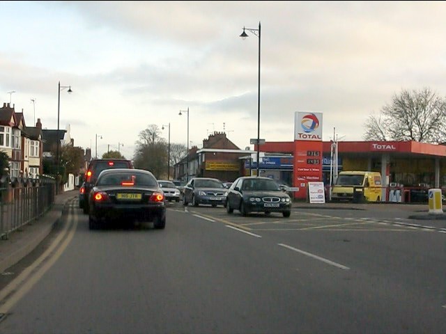
Chilvers Coton Images
Images are sourced within 2km of 52.513165/-1.473025 or Grid Reference SP3590. Thanks to Geograph Open Source API. All images are credited.


Chilvers Coton is located at Grid Ref: SP3590 (Lat: 52.513165, Lng: -1.473025)
Administrative County: Warwickshire
District: Nuneaton and Bedworth
Police Authority: Warwickshire
What 3 Words
///admits.scarf.forced. Near Attleborough, Warwickshire
Nearby Locations
Related Wikis

George Eliot Hospital NHS Trust
The George Eliot Hospital NHS Trust runs George Eliot Hospital in Nuneaton, Warwickshire, England and the Urgent Care Centre at Leicester Royal Infirmary...
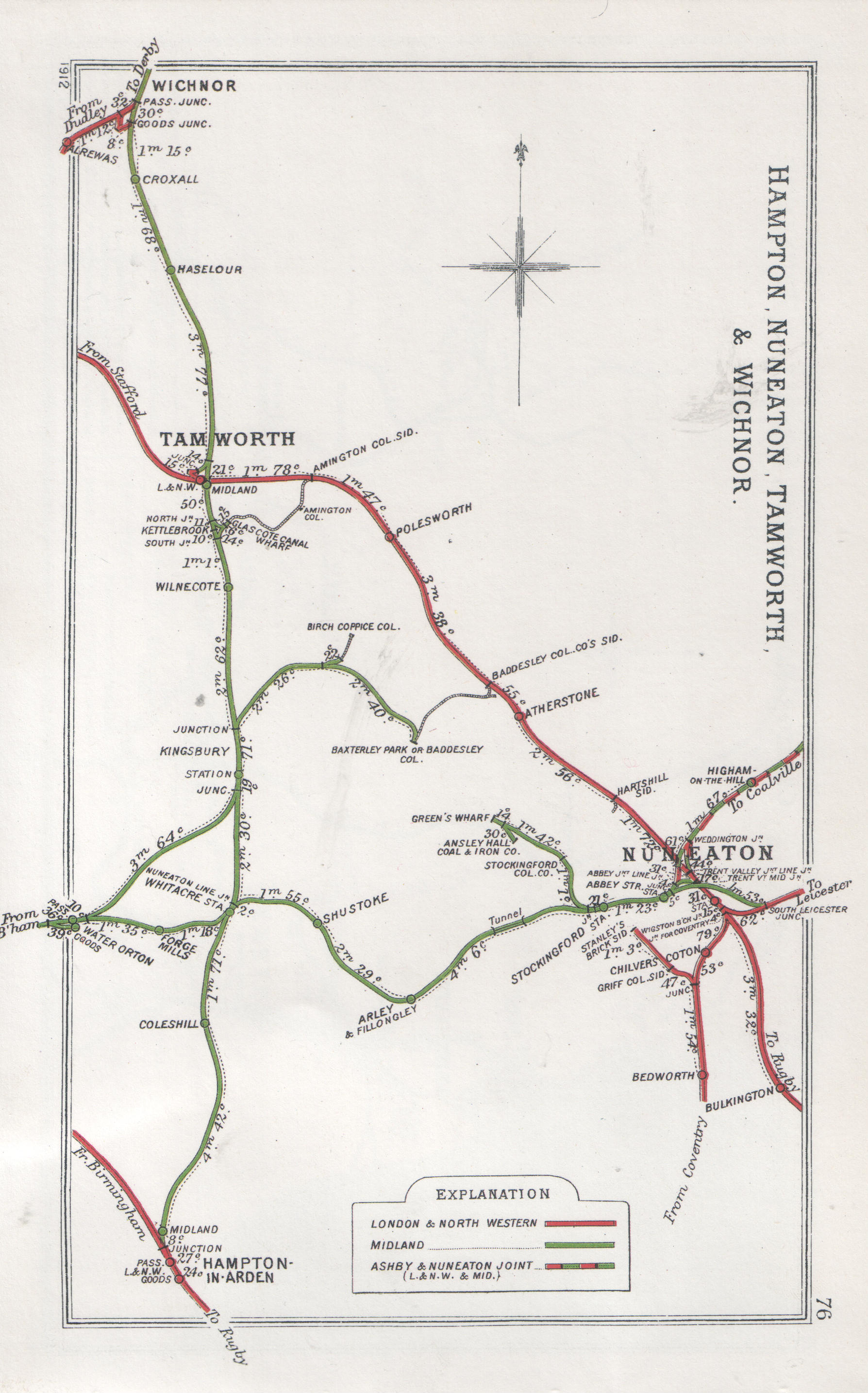
Chilvers Coton railway station
Chilvers Coton was a railway station on the Coventry to Nuneaton Line, which served the Chilvers Coton area of Nuneaton, south of the town centre. It opened...

George Eliot Hospital
George Eliot Hospital is a single site hospital located in Nuneaton, Warwickshire, it is managed by the George Eliot Hospital NHS Trust. It provides a...

Griff and Coton Ground
The Griff and Coton Ground is a cricket ground in Nuneaton, Warwickshire. The ground is located off the Heath End Road and forms part of a wider sports...
Chilvers Coton
Chilvers Coton is an area of the town of Nuneaton in Warwickshire, England, around one mile south of the town centre.Chilvers Coton was historically a...

Our Lady of the Angels, Nuneaton
The Roman Catholic Parish of Our Lady of the Angels is located in Nuneaton, Warwickshire, England. The parish is part of the Roman Catholic Archdiocese...
Nuneaton Griff F.C.
Nuneaton Griff F.C. are a football club based in Nuneaton, Warwickshire, England. They joined the Midland Football Combination Premier Division in 1999...

St Thomas More Catholic School, Nuneaton
St Thomas More Catholic School and Sixth Form College (formerly St Thomas More Catholic School and Technology College) is a mixed Roman Catholic secondary...
Nearby Amenities
Located within 500m of 52.513165,-1.473025Have you been to Chilvers Coton?
Leave your review of Chilvers Coton below (or comments, questions and feedback).