Heath End

Settlement in Warwickshire Nuneaton and Bedworth

England

Heath End

Site of former Stanley's Brickworks This picture was taken from the top of a mound at the bottom of Cambridge Drive, looking north-west towards Montana Walk. This landscaped green stretch of mounds and hollows, surrounded by housing developments dating from the 1980s-90s, is what has become of the land formerly occupied by Stanley's brickworks, whose factory was a little further to the east, just south of Croft School.
Site of former Stanley's Brickworks Credit: Steve Courtney

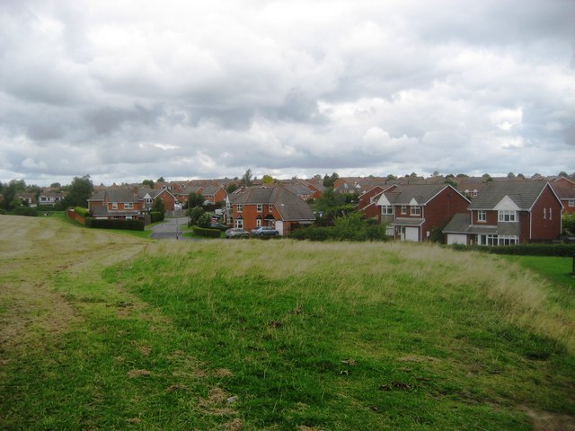
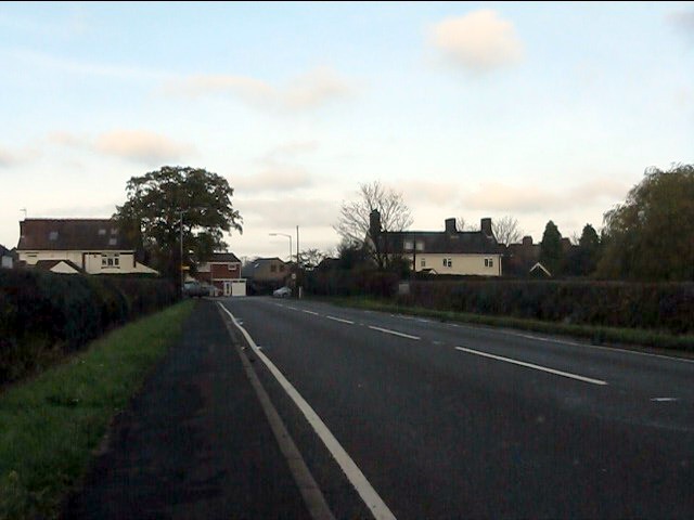
Heath End is a small village located in Warwickshire, England. Situated about 5 miles east of Nuneaton, it is surrounded by picturesque countryside and offers a peaceful and rural setting. With a population of just over 500 residents, Heath End exudes a close-knit community atmosphere.

The village is characterized by its charming architecture, with many traditional thatched cottages and historic buildings dotting its landscape. Its origins can be traced back to medieval times, and remnants of its rich history can still be seen today.

Heath End offers a range of amenities to cater to its residents' needs. There is a local primary school, providing education for children in the area, and a village hall that hosts various community events and gatherings. The village also boasts a well-stocked convenience store, ensuring that residents have easy access to everyday essentials.

For those seeking outdoor activities, the surrounding countryside provides ample opportunities for walking, cycling, and exploring nature. The nearby Hartshill Hayes Country Park offers stunning views and is a popular destination for outdoor enthusiasts.

Heath End benefits from good transport links, with easy access to major road networks such as the A5 and M42 motorway. This allows residents to easily reach nearby towns and cities, including Coventry and Birmingham, for employment or leisure purposes.

Overall, Heath End is a charming and peaceful village, perfect for those seeking a tranquil rural lifestyle while still having access to essential amenities and nearby urban centers.

If you have any feedback on the listing, please let us know in the comments section below.
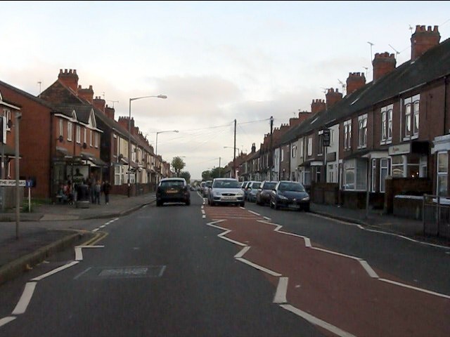
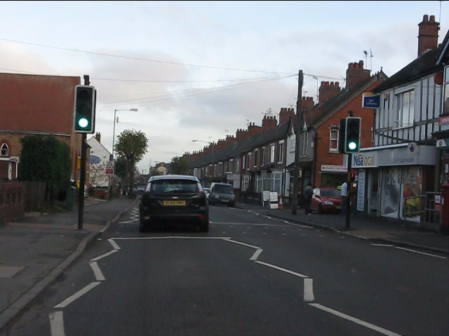
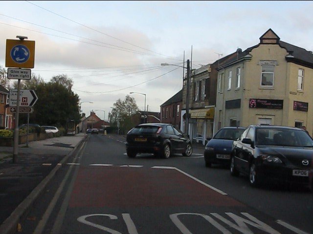
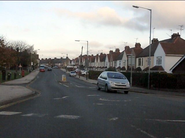
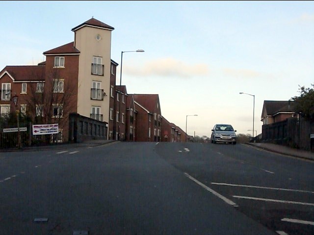
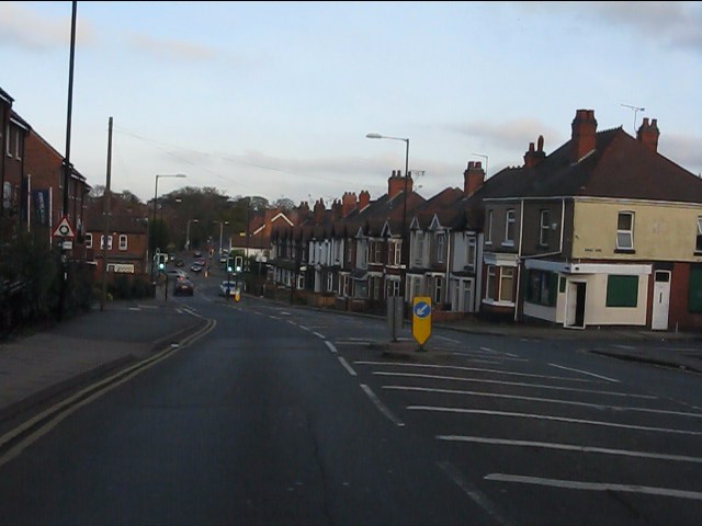
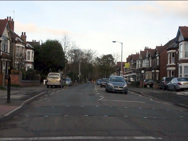
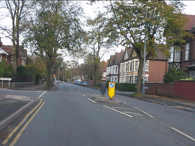
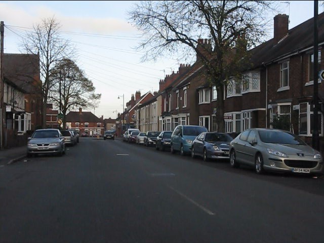
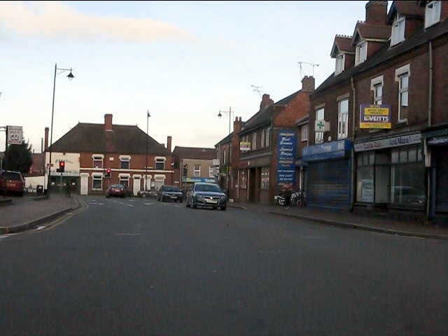
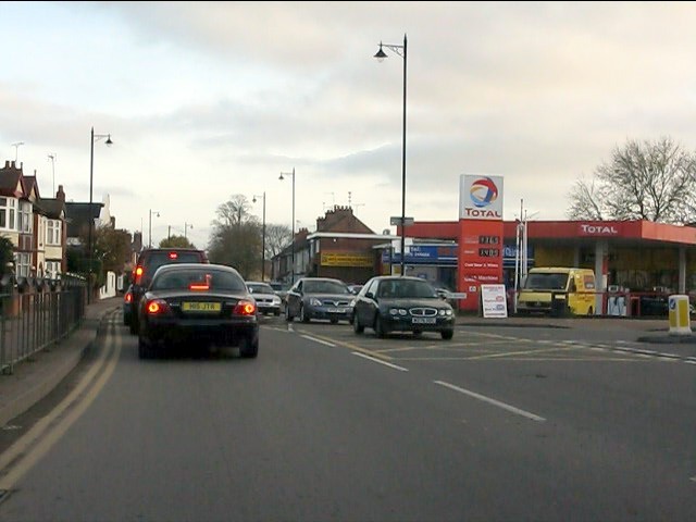
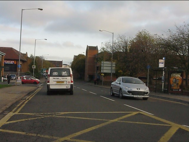
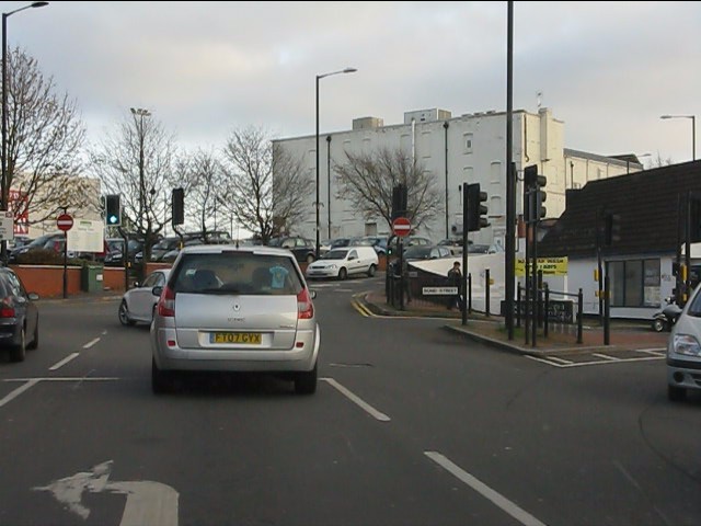
Heath End Images

Images are sourced within 2km of 52.51257/-1.4842892 or Grid Reference SP3590. Thanks to Geograph Open Source API. All images are credited.

Site of former Stanley's Brickworks This picture was taken from the top of a mound at the bottom of Cambridge Drive, looking north-west towards Montana Walk. This landscaped green stretch of mounds and hollows, surrounded by housing developments dating from the 1980s-90s, is what has become of the land formerly occupied by Stanley's brickworks, whose factory was a little further to the east, just south of Croft School.
Site of former Stanley's Brickworks
This picture was taken from the top of a mound at the bottom of Cambridge Drive, looking north-west towards Montana Walk. This landscaped green stretch of mounds and hollows, surrounded by housing developments dating from the 1980s-90s, is what has become of the land formerly occupied by Stanley's brickworks, whose factory was a little further to the east, just south of Croft School.
Northern end of Astley Road
Arbury Road at the gates to Arbury Park
Arbury Road at Seeswood Close
Arbury Road at The Poplars
Local shops on Arbury Road
Arbury Road roundabout Traffic queues for around one hundred yards on the opposite side of the road waiting for a bus which is blocking the road while loading a passenger.
Arbury Road roundabout
Traffic queues for around one hundred yards on the opposite side of the road waiting for a bus which is blocking the road while loading a passenger.
Croft Road at The Reywoods
Croft Road bridges the Coventry Canal
Croft Road from the canal bridge
Manor Court Road
Manor Court Road
Manor Court Road at Earls Road
Manor Court Road north of Earls Road
Northern end of Manor Court Road
Saturday traffic trying to enter Nuneaton Queues everywhere!
Saturday traffic trying to enter Nuneaton
Queues everywhere!
Newtown Road, Nuneaton Part of the inner ring road which the planning authority has permitted to become choked with retail parks.
Newtown Road, Nuneaton
Part of the inner ring road which the planning authority has permitted to become choked with retail parks.
Traffic on Newtown Road, Nuneaton
Newtown Road at Bond Street intersection
Show me another place!

Heath End is located at Grid Ref: SP3590 (Lat: 52.51257, Lng: -1.4842892)

Administrative County: Warwickshire

District: Nuneaton and Bedworth

Police Authority: Warwickshire

What 3 Words

///bike.lies.solar. Near Nuneaton, Warwickshire

Nearby Locations

Heath End Chilvers Coton

Related Wikis

Griff and Coton Ground

The Griff and Coton Ground is a cricket ground in Nuneaton, Warwickshire. The ground is located off the Heath End Road and forms part of a wider sports...

St Thomas More Catholic School, Nuneaton

St Thomas More Catholic School and Sixth Form College (formerly St Thomas More Catholic School and Technology College) is a mixed Roman Catholic secondary...

George Eliot Hospital NHS Trust

The George Eliot Hospital NHS Trust runs George Eliot Hospital in Nuneaton, Warwickshire, England and the Urgent Care Centre at Leicester Royal Infirmary...

George Eliot Hospital

George Eliot Hospital is a single site hospital located in Nuneaton, Warwickshire, it is managed by the George Eliot Hospital NHS Trust. It provides a...

Bermuda, Warwickshire

Bermuda is a suburb of Nuneaton in the English county of Warwickshire. Bermuda was originally a small pit village built in 1893 to house workers for the...

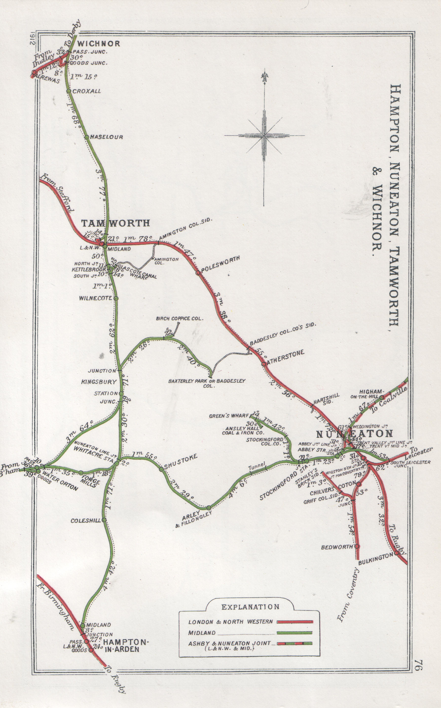
Chilvers Coton railway station

Chilvers Coton was a railway station on the Coventry to Nuneaton Line, which served the Chilvers Coton area of Nuneaton, south of the town centre. It opened...

Nuneaton Academy

Nuneaton Academy (formerly Alderman Smith School) is a coeducational secondary school with academy status located in Nuneaton, Warwickshire, England.Originally...

Manor Park, Nuneaton

Manor Park was the former stadium of Nuneaton Borough A.F.C. 22,114 spectators packed into the ground for an FA Cup tie against Rotherham United in 1967...

Nearby Amenities

Located within 500m of 52.51257,-1.4842892
Traffic Signals
Crossing: traffic_signals
Source: Warwicks CC Aerial Imagery 2013
Lat/Long: 52.5128127/-1.4882776
Bus Stop
Hare & Hounds
Bus: yes
Naptan AtcoCode: 4200F047001
Naptan Bearing: W
Naptan CommonName: Hare & Hounds
Naptan Indicator: Opp
Naptan NaptanCode: warawdjt
Naptan PlusbusZoneRef: NNTN
Naptan Street: Heath End Road
Naptan Verified: no
Public Transport: platform
Source: naptan_import
Lat/Long: 52.5130197/-1.4838408
Bus Stop
Hare & Hounds
Bus: yes
Naptan AtcoCode: 4200F047002
Naptan Bearing: E
Naptan CommonName: Hare & Hounds
Naptan Indicator: Adj
Naptan NaptanCode: warawdjw
Naptan PlusbusZoneRef: NNTN
Naptan Street: Heath End Road
Naptan Verified: no
Public Transport: platform
Source: naptan_import
Lat/Long: 52.5130911/-1.4832572
Bus Stop
Cornish Crescent
Bus: yes
Naptan AtcoCode: 4200F050000
Naptan Bearing: E
Naptan CommonName: Cornish Crescent
Naptan Indicator: Opp
Naptan NaptanCode: warawjaj
Naptan PlusbusZoneRef: NNTN
Naptan Street: Heath End Road
Naptan Verified: no
Public Transport: platform
Source: naptan_import
Lat/Long: 52.5130686/-1.4822273
Bus Stop
Brodick Way
Bus: yes
Naptan AtcoCode: 4200F051300
Naptan Bearing: S
Naptan CommonName: Brodick Way
Naptan Crossing: Brodick Way
Naptan Indicator: Opp
Naptan NaptanCode: warawmdj
Naptan PlusbusZoneRef: NNTN
Naptan Street: The Raywoods
Naptan Verified: no
Public Transport: platform
Source: naptan_import
Lat/Long: 52.5166291/-1.4870265
Bus Stop
Brodick Way
Bus: yes
Naptan AtcoCode: 4200F051301
Naptan Bearing: N
Naptan CommonName: Brodick Way
Naptan Crossing: Brodick Way
Naptan Indicator: Brodick Way
Naptan NaptanCode: warawmdm
Naptan PlusbusZoneRef: NNTN
Naptan Street: Adj
Naptan Verified: no
Public Transport: platform
Source: naptan_import
Lat/Long: 52.5165582/-1.4872631
Bus Stop
Heath End Road
Bus: yes
Naptan AtcoCode: 4200F088200
Naptan Bearing: SE
Naptan CommonName: Heath End Road
Naptan Indicator: Nr
Naptan NaptanCode: warapjwm
Naptan PlusbusZoneRef: NNTN
Naptan Street: Tenlons Road
Naptan Verified: no
Public Transport: platform
Source: naptan_import
Lat/Long: 52.5119938/-1.4878762
Bus Stop
Heath End Road
Bus: yes
Naptan AtcoCode: 4200F088201
Naptan Bearing: N
Naptan CommonName: Heath End Road
Naptan Indicator: Nr
Naptan NaptanCode: warapjwp
Naptan PlusbusZoneRef: NNTN
Naptan Street: Tenlons Road
Naptan Verified: no
Public Transport: platform
Source: naptan_import
Lat/Long: 52.5121164/-1.4882231
Bus Stop
Oldany Way
Bus: yes
Naptan AtcoCode: 4200F124901
Naptan Bearing: N
Naptan CommonName: Oldany Way
Naptan Indicator: Adj
Naptan NaptanCode: warawjta
Naptan PlusbusZoneRef: NNTN
Naptan Street: The Raywoods
Naptan Verified: no
Public Transport: platform
Source: naptan_import
Lat/Long: 52.5140172/-1.485937
Bus Stop
Cornish Crescent
Bus: yes
Naptan AtcoCode: 4200F125301
Naptan Bearing: W
Naptan CommonName: Cornish Crescent
Naptan Indicator: Adj
Naptan NaptanCode: wardatmj
Naptan PlusbusZoneRef: NNTN
Naptan Street: Heath End Road
Naptan Verified: no
Public Transport: platform
Source: naptan_import
Lat/Long: 52.5129941/-1.4822355
Bus Stop
Orkney Close
Bus: yes
Naptan AtcoCode: 4200F125401
Naptan Bearing: W
Naptan CommonName: Orkney Close
Naptan Crossing: Orkney Close
Naptan Indicator: Opp
Naptan NaptanCode: wardatpa
Naptan PlusbusZoneRef: NNTN
Naptan Street: Heath End Road
Naptan Verified: no
Public Transport: platform
Source: naptan_import
Lat/Long: 52.5130061/-1.4793795
Bus Stop
Orkney Close
Bus: yes
Naptan AtcoCode: 4200F125402
Naptan Bearing: E
Naptan CommonName: Orkney Close
Naptan Crossing: Orkney Close
Naptan Indicator: Adj
Naptan NaptanCode: wardatpd
Naptan PlusbusZoneRef: NNTN
Naptan Street: Heath End Road
Naptan Verified: no
Public Transport: platform
Source: naptan_import
Lat/Long: 52.5131109/-1.4793857
Bus Stop
Tenlons Road
Bus: yes
Naptan AtcoCode: 4200F130371
Naptan Bearing: S
Naptan CommonName: Tenlons Road
Naptan Indicator: Opp
Naptan NaptanCode: warawgtw
Naptan PlusbusZoneRef: NNTN
Naptan Street: Bermuda Road
Naptan Verified: no
Public Transport: platform
Source: naptan_import
Lat/Long: 52.512212/-1.4839793
Tenlons Road
Naptan AtcoCode: 4200F130372
Naptan Bearing: N
Naptan BusStopType: CUS
Naptan CommonName: Tenlons Road
Naptan Indicator: Adj
Naptan NaptanCode: warawgwa
Naptan PlusbusZoneRef: NNTN
Naptan Street: Bermuda Road
Naptan Verified: no
Source: naptan_import
Lat/Long: 52.5121935/-1.4841753
Bus Stop
Bermuda Road
Bus: yes
Naptan AtcoCode: 4200F130411
Naptan Bearing: NE
Naptan CommonName: Bermuda Road
Naptan Indicator: Nr
Naptan NaptanCode: warawtdt
Naptan PlusbusZoneRef: NNTN
Naptan Street: Tenlons Road
Naptan Verified: no
Public Transport: platform
Source: naptan_import
Lat/Long: 52.5123337/-1.4849902
Bus Stop
Bermuda Road
Bus: yes
Naptan AtcoCode: 4200F130412
Naptan Bearing: SW
Naptan CommonName: Bermuda Road
Naptan Indicator: Nr
Naptan NaptanCode: warawtdw
Naptan PlusbusZoneRef: NNTN
Naptan Street: Tenlons Road
Naptan Verified: no
Public Transport: platform
Source: naptan_import
Lat/Long: 52.5122344/-1.4849991
Bus Stop
Shillingstone Drive
Bus: yes
Naptan AtcoCode: 4200F130471
Naptan Bearing: SW
Naptan CommonName: Shillingstone Drive
Naptan Indicator: Adj
Naptan NaptanCode: warawtga
Naptan PlusbusZoneRef: NNTN
Naptan Street: Tenlons Road
Naptan Verified: no
Public Transport: platform
Source: naptan_import
Lat/Long: 52.5114056/-1.4869989
Bus Stop
Shillingstone Drive
Bus: yes
Naptan AtcoCode: 4200F130472
Naptan Bearing: NE
Naptan CommonName: Shillingstone Drive
Naptan Indicator: Opp
Naptan NaptanCode: warawtgd
Naptan PlusbusZoneRef: NNTN
Naptan Street: Tenlons Road
Naptan Verified: no
Public Transport: platform
Source: naptan_import
Lat/Long: 52.5117187/-1.4866269
Bus Stop
Ashdown Drive
Bus: yes
Naptan AtcoCode: 4200F130511
Naptan Bearing: W
Naptan CommonName: Ashdown Drive
Naptan Indicator: Adj
Naptan NaptanCode: warawtgm
Naptan PlusbusZoneRef: NNTN
Naptan Street: Heath End Road
Naptan Verified: no
Public Transport: platform
Source: naptan_import
Lat/Long: 52.5126142/-1.4899762
Bus Stop
Ashdown Drive
Bus: yes
Naptan AtcoCode: 4200F130512
Naptan Bearing: E
Naptan CommonName: Ashdown Drive
Naptan Indicator: Adj
Naptan NaptanCode: warawtgp
Naptan PlusbusZoneRef: NNTN
Naptan Street: Heath End Road
Naptan Verified: no
Public Transport: platform
Source: naptan_import
Lat/Long: 52.5127489/-1.4899451
Mini Roundabout
Direction: clockwise
Lat/Long: 52.513103/-1.4853997
Power: tower
Source: visual survey;estimate
Lat/Long: 52.5096131/-1.4865632
Power: tower
Source: visual survey;estimate
Lat/Long: 52.5112048/-1.4883482
Bus Stop
Orkney Close
Bus: yes
Naptan AtcoCode: 4200F124801
Naptan Bearing: S
Naptan CommonName: Orkney Close
Naptan Indicator: Adj
Naptan NaptanCode: warawjpd
Naptan PlusbusZoneRef: NNTN
Naptan Street: The Raywoods
Naptan Verified: no
Public Transport: platform
Source: naptan_import
Lat/Long: 52.5135313/-1.4853775
Bench
Lat/Long: 52.5092108/-1.4867072
Traffic Signals
Crossing: traffic_signals
Source: Warwicks CC Aerial Imagery 2013
Lat/Long: 52.5127645/-1.4889331
Traffic Signals
Source: Warwicks CC Aerial Imagery 2013
Lat/Long: 52.5126347/-1.4885134
Crossing
Crossing: traffic_signals
Lat/Long: 52.5130779/-1.4847744
Crossing
Source: Warwicks CC Aerial Imagery 2013
Lat/Long: 52.5128086/-1.488335
Crossing
Source: Warwicks CC Aerial Imagery 2013
Lat/Long: 52.5127727/-1.4888191
Cycleway: asl
Source: Warwicks CC Aerial Imagery 2013
Lat/Long: 52.5127694/-1.4888795
Generator Method: photovoltaic
Generator Output Electricity: yes
Generator Source: solar
Generator Type: solar_photovoltaic_panel
Location: roof
Power: generator
Lat/Long: 52.5133146/-1.4818065
Generator Method: photovoltaic
Generator Output Electricity: yes
Generator Source: solar
Generator Type: solar_photovoltaic_panel
Location: roof
Power: generator
Lat/Long: 52.5112896/-1.4837015
Generator Method: photovoltaic
Generator Output Electricity: yes
Generator Source: solar
Generator Type: solar_photovoltaic_panel
Location: roof
Power: generator
Lat/Long: 52.511097/-1.4866009
Generator Method: photovoltaic
Generator Output Electricity: yes
Generator Source: solar
Generator Type: solar_photovoltaic_panel
Location: roof
Power: generator
Lat/Long: 52.5105175/-1.4825374
Generator Method: photovoltaic
Generator Output Electricity: yes
Generator Source: solar
Generator Type: solar_photovoltaic_panel
Location: roof
Power: generator
Lat/Long: 52.5095152/-1.4849702
Generator Method: photovoltaic
Generator Output Electricity: yes
Generator Source: solar
Generator Type: solar_photovoltaic_panel
Location: roof
Power: generator
Lat/Long: 52.5095446/-1.4848173
Generator Method: photovoltaic
Generator Output Electricity: yes
Generator Source: solar
Generator Type: solar_photovoltaic_panel
Location: roof
Power: generator
Lat/Long: 52.5096523/-1.4843962
Generator Method: photovoltaic
Generator Output Electricity: yes
Generator Source: solar
Generator Type: solar_photovoltaic_panel
Location: roof
Power: generator
Lat/Long: 52.510444/-1.4861289
Generator Method: photovoltaic
Generator Output Electricity: yes
Generator Source: solar
Generator Type: solar_photovoltaic_panel
Location: roof
Power: generator
Lat/Long: 52.513648/-1.4816643
Generator Method: photovoltaic
Generator Output Electricity: yes
Generator Source: solar
Generator Type: solar_photovoltaic_panel
Location: roof
Power: generator
Lat/Long: 52.5150146/-1.4836237
Generator Method: photovoltaic
Generator Output Electricity: yes
Generator Source: solar
Generator Type: solar_photovoltaic_panel
Location: roof
Power: generator
Lat/Long: 52.5147404/-1.4835244
Generator Method: photovoltaic
Generator Output Electricity: yes
Generator Source: solar
Generator Type: solar_photovoltaic_panel
Location: roof
Power: generator
Lat/Long: 52.5156194/-1.4842607
Generator Method: photovoltaic
Generator Output Electricity: yes
Generator Source: solar
Generator Type: solar_photovoltaic_panel
Location: roof
Power: generator
Lat/Long: 52.5153019/-1.489664
Generator Method: photovoltaic
Generator Output Electricity: yes
Generator Source: solar
Generator Type: solar_photovoltaic_panel
Location: roof
Power: generator
Lat/Long: 52.5128682/-1.4841762
Generator Method: photovoltaic
Generator Output Electricity: yes
Generator Source: solar
Generator Type: solar_photovoltaic_panel
Location: roof
Power: generator
Lat/Long: 52.5120014/-1.4848816
Generator Method: photovoltaic
Generator Output Electricity: yes
Generator Source: solar
Generator Type: solar_photovoltaic_panel
Location: roof
Power: generator
Lat/Long: 52.5126347/-1.488331
Power: transformer
Source: bing
Lat/Long: 52.5112864/-1.4879501
Power: transformer
Source: bing
Lat/Long: 52.5114088/-1.4880842
Generator Method: photovoltaic
Generator Output Electricity: yes
Generator Source: solar
Generator Type: solar_photovoltaic_panel
Location: roof
Power: generator
Lat/Long: 52.5153497/-1.4855763
Generator Method: photovoltaic
Generator Output Electricity: yes
Generator Source: solar
Generator Type: solar_photovoltaic_panel
Location: roof
Power: generator
Lat/Long: 52.5146604/-1.4881982
Generator Method: photovoltaic
Generator Output Electricity: yes
Generator Source: solar
Generator Type: solar_photovoltaic_panel
Power: generator
Lat/Long: 52.509636/-1.4845464
Generator Method: photovoltaic
Generator Output Electricity: yes
Generator Source: solar
Generator Type: solar_photovoltaic_panel
Power: generator
Lat/Long: 52.5115884/-1.4821056
Generator Method: photovoltaic
Generator Output Electricity: yes
Generator Source: solar
Generator Type: solar_photovoltaic_panel
Power: generator
Lat/Long: 52.5128809/-1.4806974
Generator Method: photovoltaic
Generator Output Electricity: yes
Generator Source: solar
Generator Type: solar_photovoltaic_panel
Power: generator
Lat/Long: 52.5112505/-1.4799021
Generator Method: photovoltaic
Generator Output Electricity: yes
Generator Source: solar
Generator Type: solar_photovoltaic_panel
Power: generator
Lat/Long: 52.5096825/-1.4842768
Generator Method: photovoltaic
Generator Output Electricity: yes
Generator Source: solar
Generator Type: solar_photovoltaic_panel
Power: generator
Lat/Long: 52.515204/-1.4882357
Post Box
Collection Times: Mo-Fr 09:00; Sa 07:00
Operator: Royal Mail
Operator Wikidata: Q638098
Post Box Design: type_b
Post Box Type: pillar
Ref: CV10 64D
Royal Cypher: EIIR
Source: survey
Lat/Long: 52.5131636/-1.4801262
The data included in this document is from www.openstreetmap.org. The data is made available under ODbL.

Have you been to Heath End?

Leave your review of Heath End below (or comments, questions and feedback).