Heath End

Settlement in Oxfordshire South Oxfordshire

England

Heath End

A4130 at Gangsdown Hill
A4130 at Gangsdown Hill Credit: Colin Pyle

Heath End is a small village located in the county of Oxfordshire, England. Nestled amidst picturesque countryside, the village is known for its tranquil and idyllic setting. It is situated approximately 10 miles northeast of the city of Oxford and is surrounded by lush green fields and rolling hills.

The village is home to a tight-knit community of around 500 residents. The architecture of the village reflects its rich history, with several traditional thatched cottages and charming old buildings dotting the landscape. The main focal point of the village is the St. Mary's Church, a beautiful medieval structure that dates back to the 13th century.

Heath End offers a range of amenities to cater to the needs of its residents. It boasts a primary school, providing education for the local children, and a village hall which serves as a hub for community events and gatherings. The village also has a local pub, where residents and visitors can enjoy a drink and experience the warm hospitality of the locals.

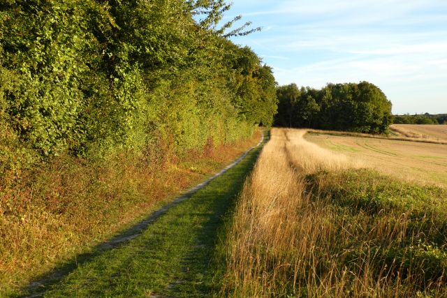
Nature lovers will find plenty to explore in the surrounding area. The village is surrounded by vast meadows and nature reserves, making it a perfect spot for walking, hiking, and birdwatching. The nearby River Cherwell offers opportunities for fishing and boating.

Heath End's rural charm, combined with its close proximity to Oxford, makes it an attractive place to live for those seeking a peaceful and scenic lifestyle while still having access to the amenities and cultural offerings of a larger city.

If you have any feedback on the listing, please let us know in the comments section below.
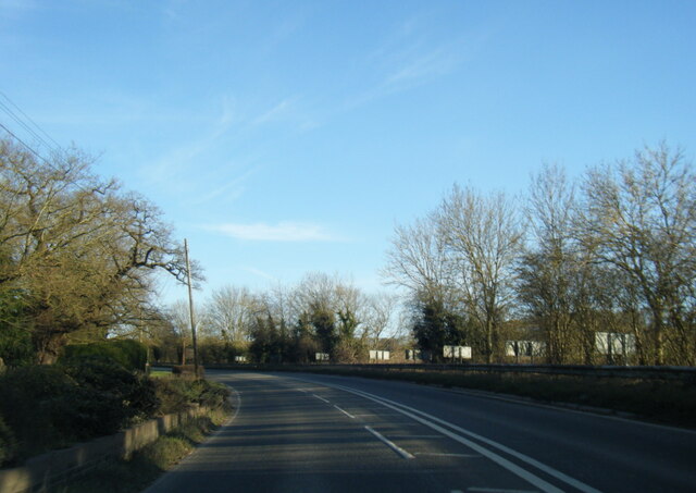
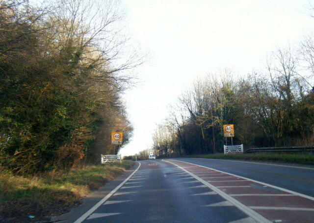
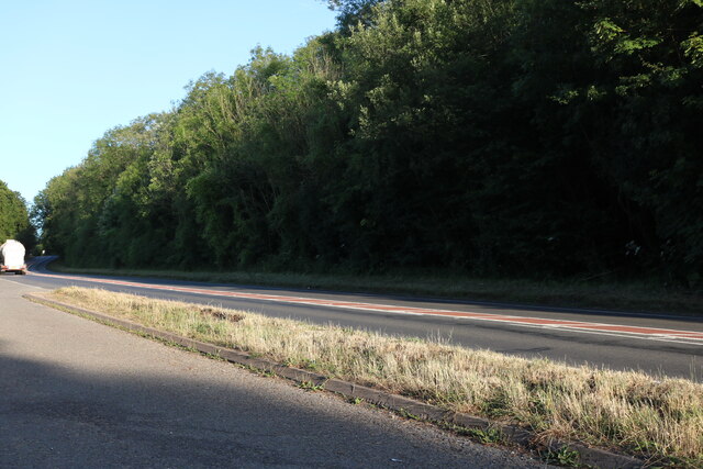
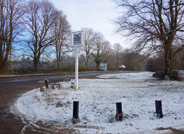
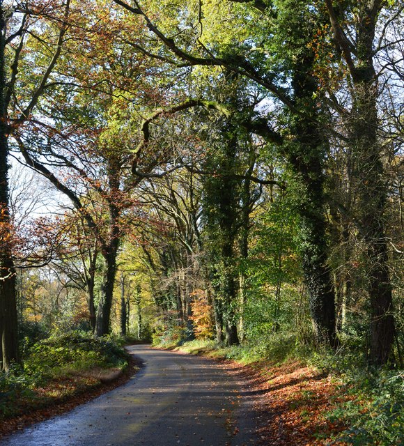
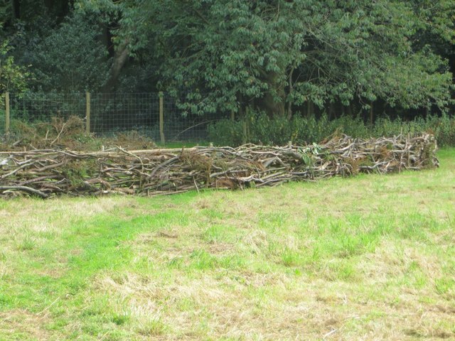
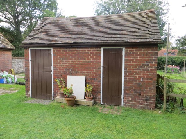
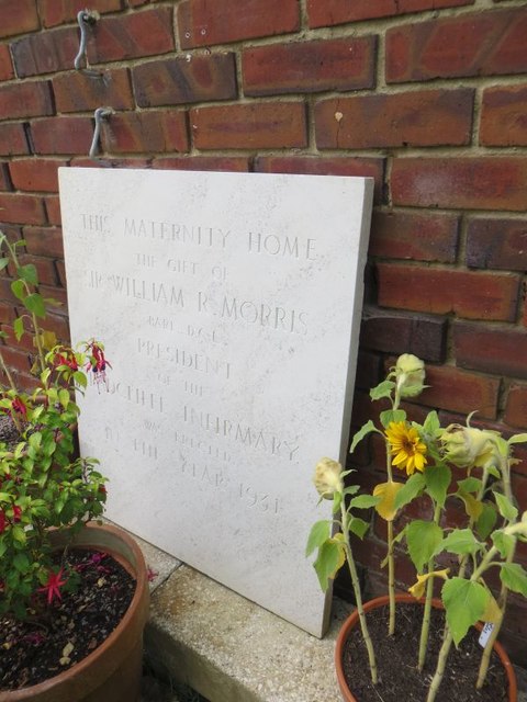
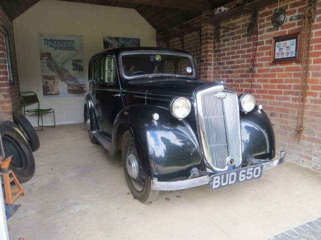
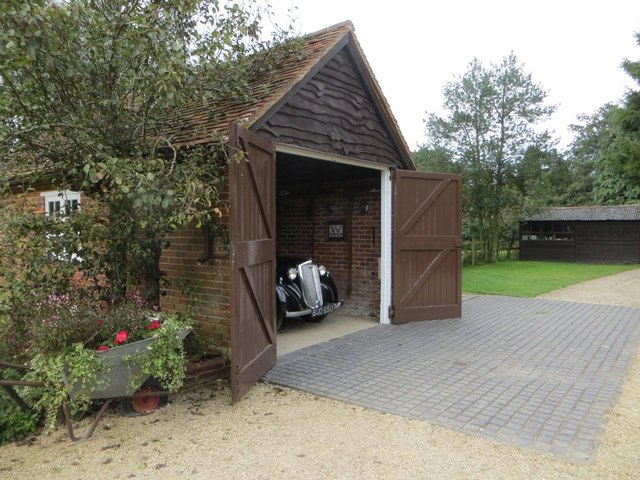
Heath End Images

Images are sourced within 2km of 51.574426/-1.0352171 or Grid Reference SU6686. Thanks to Geograph Open Source API. All images are credited.

A4130 at Gangsdown Hill
A4130 at Nuffield village boundary
Layby on Gangsdown Hill west on Nettlebed
Kit Lane, Stoke Row
Kit Lane, Stoke Row
Woods, track and farmland, Ipsden
Light Snow at The Maker Space The Crown at Nuffield was a lovely traditional pub in the Brakspears of Henley estate, but like so many country pubs these days couldn't keep going. It was closed for a long time <a href="https://www.geograph.org.uk/photo/5583827">SU6787 : The Crown closed inn beside the A4130</a> but happily is now open again as The Maker Space (at The Crown) aiming more at the coffee, cake and light meals market, and also as a craft centre.
Light Snow at The Maker Space
The Crown at Nuffield was a lovely traditional pub in the Brakspears of Henley estate, but like so many country pubs these days couldn't keep going. It was closed for a long time SU6787 : The Crown closed inn beside the A4130 but happily is now open again as The Maker Space (at The Crown) aiming more at the coffee, cake and light meals market, and also as a craft centre.
Country lane, Ipsden, Oxfordshire
Hedge Laying There may well have been a competition or exhibition on how to do this at Nuffield Place some time.
Hedge Laying
There may well have been a competition or exhibition on how to do this at Nuffield Place some time.
Couple of Sheds No doubt built the same time as the house at Nuffield Place <a href="https://www.geograph.org.uk/photo/4811296">SU6787 : Plaque by the Shed</a>
Couple of Sheds
No doubt built the same time as the house at Nuffield Place SU6787 : Plaque by the Shed
Plaque by the Shed The plaque was presented to the Radcliffe Maternity Home by Lord Nuffield in 1931, no doubt rescued from the former site after it was sold.
Plaque by the Shed
The plaque was presented to the Radcliffe Maternity Home by Lord Nuffield in 1931, no doubt rescued from the former site after it was sold.
Lady Nuffield Car A wonderful old Wolseley in the garage at Nuffield Place
Lady Nuffield Car
A wonderful old Wolseley in the garage at Nuffield Place
Posters in the Garage 1 Some of the period posters in the garage at Nuffield Place
Posters in the Garage 1
Some of the period posters in the garage at Nuffield Place
Posters in the Garage 2 Some period posters in the garage at Nuffield Place
Posters in the Garage 2
Some period posters in the garage at Nuffield Place
Picnic Time Picnic hamper all packed in the back of Lady Nuffield's car at Nuffield Place
Picnic Time
Picnic hamper all packed in the back of Lady Nuffield's car at Nuffield Place
Garage at Nuffield Place The garage at Nuffield Place where Lady Nuffield kept her car
Garage at Nuffield Place
The garage at Nuffield Place where Lady Nuffield kept her car
Morris Morris Ten Four on show at Nuffield Place by one of the National Trust members
Morris
Morris Ten Four on show at Nuffield Place by one of the National Trust members
Ten Four Gauge The heater gauge on the Morris Ten Four at Nuffield Place <a href="https://www.geograph.org.uk/photo/4811424">SU6787 : Morris</a>
Ten Four Gauge
The heater gauge on the Morris Ten Four at Nuffield Place SU6787 : Morris
Bike in the Porch Not sure if this was a scullery at Nuffield Place but was the start of the tour round the house, the bike is leant against the wall. I could not say if it was one of Lord Nuffield's early bikes.
Bike in the Porch
Not sure if this was a scullery at Nuffield Place but was the start of the tour round the house, the bike is leant against the wall. I could not say if it was one of Lord Nuffield's early bikes.
Show me another place!

Heath End is located at Grid Ref: SU6686 (Lat: 51.574426, Lng: -1.0352171)

Administrative County: Oxfordshire

District: South Oxfordshire

Police Authority: Thames Valley

What 3 Words

///swaps.adventure.commented. Near Rotherfield Peppard, Oxfordshire

Nearby Locations

Heath End

Related Wikis

Nuffield, Oxfordshire

Nuffield is a village and civil parish in the Chiltern Hills in South Oxfordshire, England, just over 4 miles (6 km) east of Wallingford. The 2011 Census...

Henley Rural District

Henley was a rural district in Oxfordshire, England from 1894 to 1974.It was named after the borough of Henley-on-Thames, which it surrounded on the west...

Nuffield Place

Nuffield Place is a country house near the village of Nuffield in the Chiltern Hills in South Oxfordshire, England, just over 4 miles (6 km) east of Wallingford...

Ipsden Heath

Ipsden Heath is a 32-acre (13-hectare) woodland in the English county of Oxfordshire, within the Chiltern Area of Outstanding Natural Beauty. == References ==

Nearby Amenities

Located within 500m of 51.574426,-1.0352171
Created By: osmeditor2
Lat/Long: 51.575585/-1.0361233
Created By: osmeditor2
Lat/Long: 51.5748767/-1.0362183
Created By: osmeditor2
Lat/Long: 51.574145/-1.0365383
Created By: osmeditor2
Lat/Long: 51.5734317/-1.03693
Created By: osmeditor2
Lat/Long: 51.5726817/-1.0371467
Created By: osmeditor2
Lat/Long: 51.5719083/-1.0371483
Created By: osmeditor2
Lat/Long: 51.5711367/-1.0369867
Created By: osmeditor2
Lat/Long: 51.5703867/-1.0367367
Barrier: stile
Lat/Long: 51.5731845/-1.0421091
Power: pole
Lat/Long: 51.573809/-1.0347801
Power: pole
Lat/Long: 51.5732605/-1.0341847
Power: pole
Lat/Long: 51.5727254/-1.0334927
Power: pole
Lat/Long: 51.5721436/-1.0328114
Power: pole
Lat/Long: 51.5715885/-1.032055
Power: pole
Lat/Long: 51.5712967/-1.031304
The data included in this document is from www.openstreetmap.org. The data is made available under ODbL.

Have you been to Heath End?

Leave your review of Heath End below (or comments, questions and feedback).