Abbeyford Wood
Wood, Forest in Devon West Devon
England
Abbeyford Wood

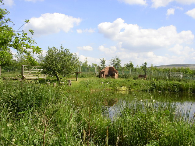
Abbeyford Wood is a charming woodland located in the county of Devon, England. Situated near the village of Abbeyford, this tranquil forest covers an area of approximately 100 acres, making it a popular destination for nature enthusiasts and outdoor lovers.
The wood is characterized by its diverse range of trees, including oak, beech, and ash, which create a picturesque and serene atmosphere. The forest floor is carpeted with a rich variety of flora, such as bluebells and wild garlic, adding to the area's natural beauty. Visitors can wander through the well-maintained trails that meander through the wood, offering breathtaking views and opportunities to spot wildlife such as deer, squirrels, and a wide array of bird species.
Abbeyford Wood is not only a haven for nature lovers but also a historically significant site. It is believed that the wood was once part of an ancient royal hunting ground, dating back to the medieval era. Remnants of this history can still be found in the form of old boundary walls and earthworks, providing an intriguing glimpse into the past.
For those seeking a peaceful retreat, Abbeyford Wood offers several picnic areas and benches, inviting visitors to relax and soak in the tranquility of their surroundings. The wood is also a popular spot for photographers and artists, who are drawn to its natural beauty and the ever-changing palette of colors throughout the seasons.
Overall, Abbeyford Wood is a hidden gem in Devon, offering a delightful blend of natural wonders, historical significance, and a peaceful escape from the hustle and bustle of everyday life.
If you have any feedback on the listing, please let us know in the comments section below.
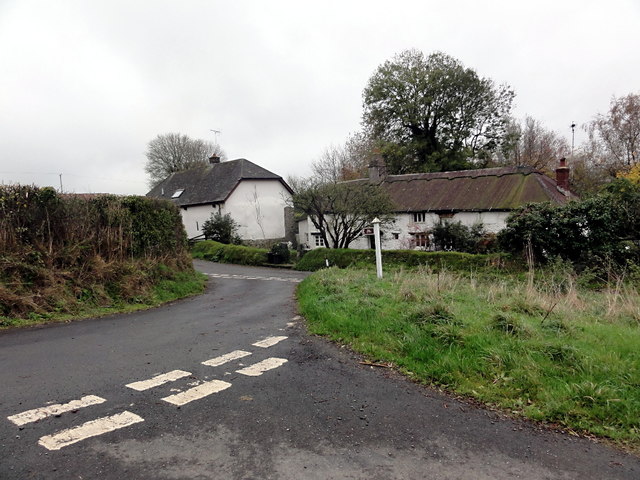
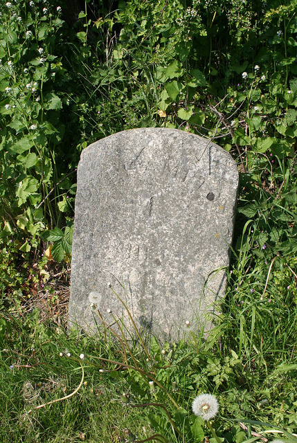
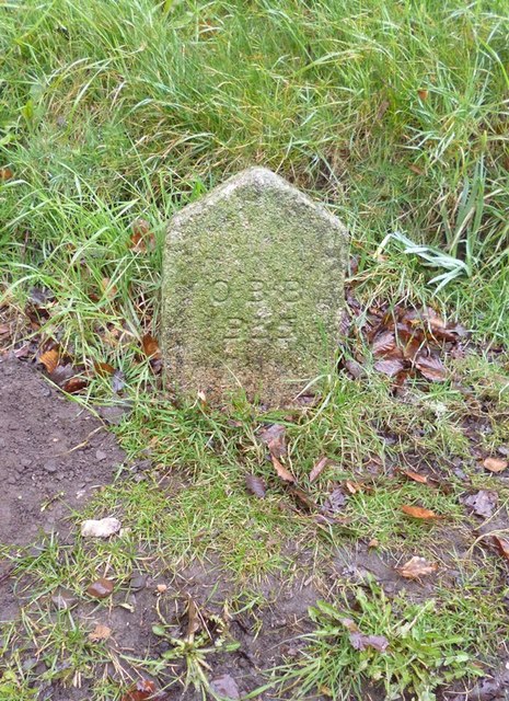
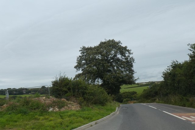
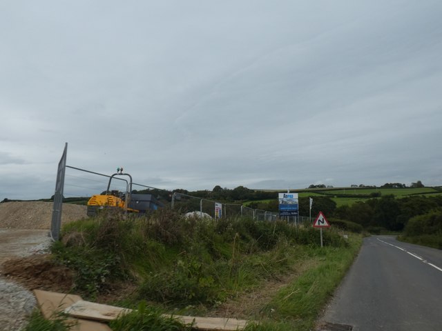
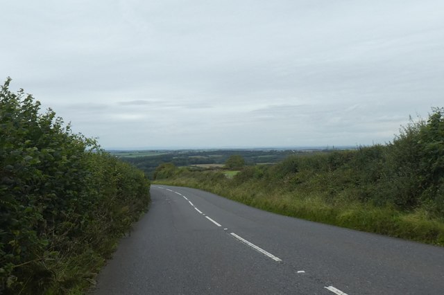
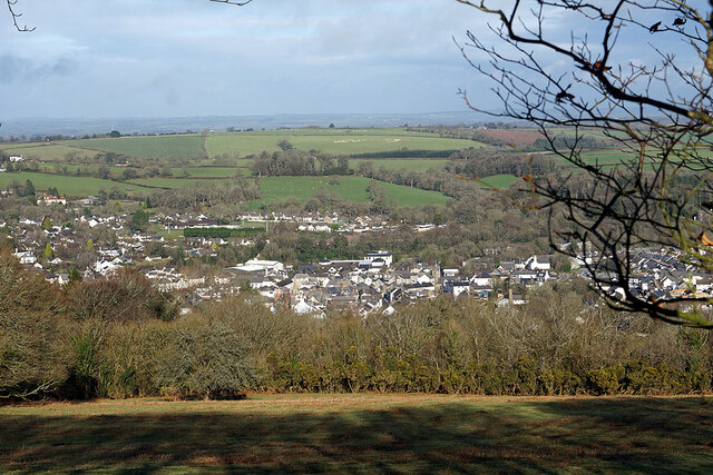
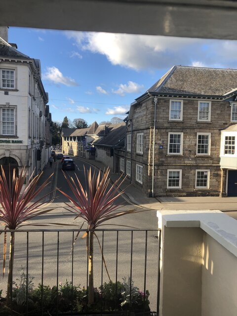
Abbeyford Wood Images
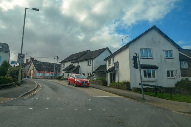
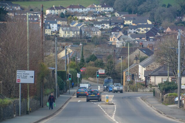
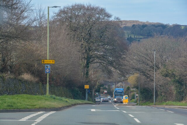
Images are sourced within 2km of 50.756446/-3.9951547 or Grid Reference SX5997. Thanks to Geograph Open Source API. All images are credited.


Abbeyford Wood is located at Grid Ref: SX5997 (Lat: 50.756446, Lng: -3.9951547)
Administrative County: Devon
District: West Devon
Police Authority: Devon and Cornwall
What 3 Words
///nearly.towel.unafraid. Near Okehampton, Devon
Nearby Locations
Related Wikis

Brightley Priory
Brightley Priory was founded in 1133 as a Cistercian monastery. It was built in 1136 and was situated about two miles north of Okehampton in Devon and...
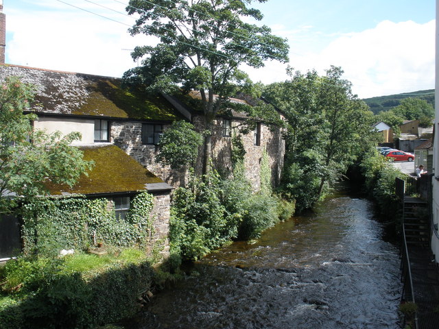
East Okement River
East Okement is a river in the Dartmoor moors in Devon in south-west England. It joins the West Okement at Okehampton to form the Okement. == References ==
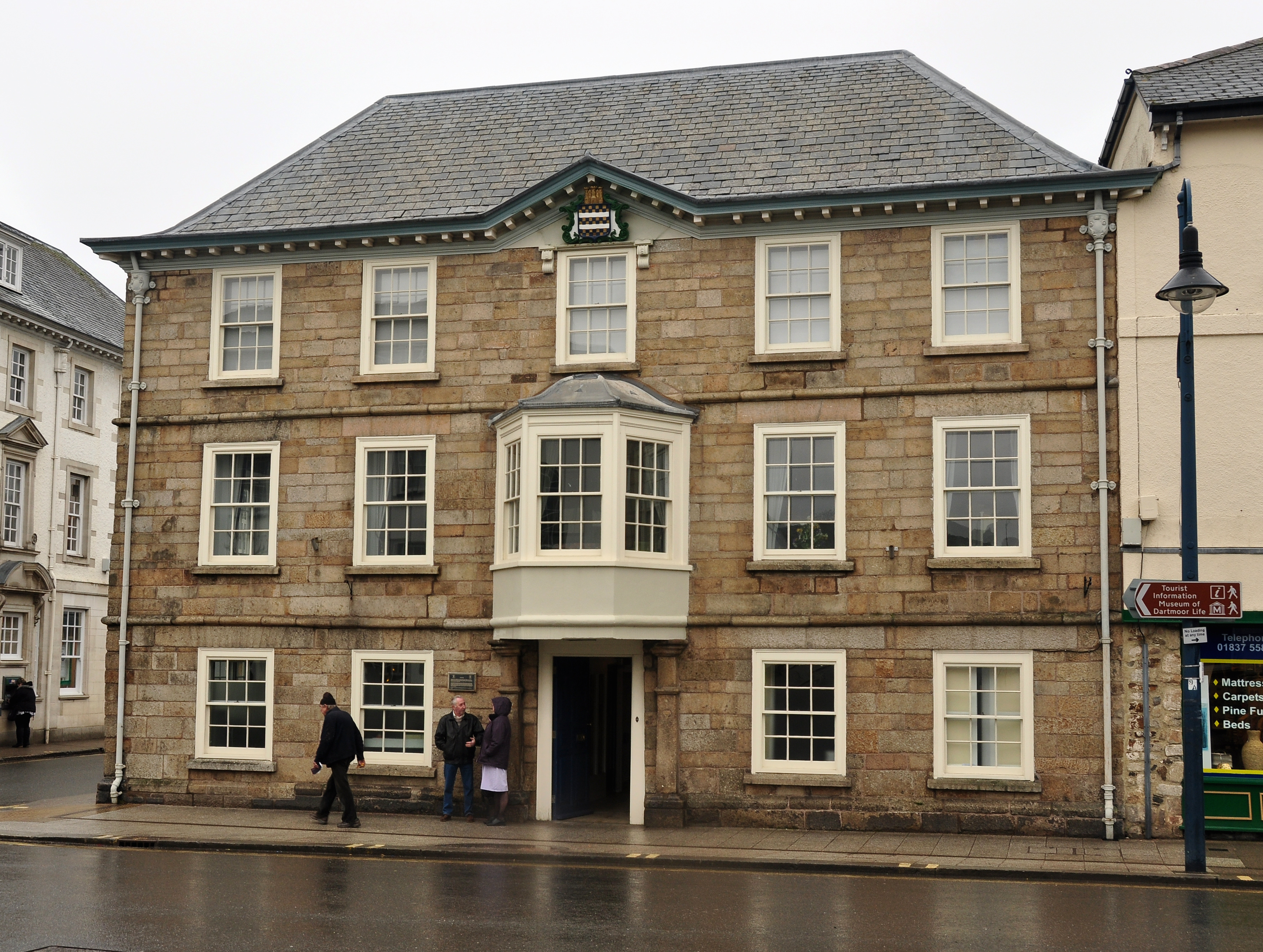
Okehampton Town Hall
Okehampton Town Hall is a municipal building in Fore Street, Okehampton, Devon, England. The town hall, which is the meeting place of Okehampton Town Council...

Okehampton
Okehampton ( or ) is a town and civil parish in West Devon in the English county of Devon. It is situated at the northern edge of Dartmoor, and had a population...
Okehampton Parkway railway station
Okehampton Parkway is a proposed railway station in Okehampton on the Dartmoor Line. The station would be part of the Devon Metro and has been described...
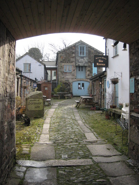
Museum of Dartmoor Life
The Museum of Dartmoor Life (MDL) is a local museum in Okehampton, Devon, southwest England. It covers life in the Dartmoor area. The museum opened in...
Okehampton Hamlets
Okehampton Hamlets is a civil parish in the Borough of West Devon and the English county of Devon, it runs independently from the Okehampton Town Council...
Folly Gate
Folly Gate is a village in the civil parish of Inwardleigh, in the West Devon district, in the county of Devon, England. It is situated near Okehampton...
Nearby Amenities
Located within 500m of 50.756446,-3.9951547Have you been to Abbeyford Wood?
Leave your review of Abbeyford Wood below (or comments, questions and feedback).