Brightley
Settlement in Devon West Devon
England
Brightley

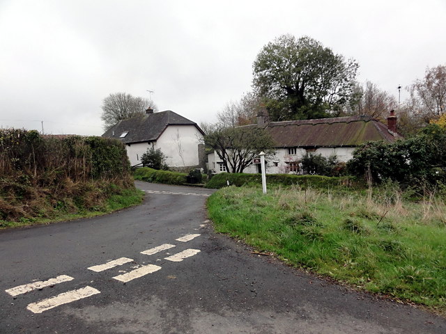
Brightley is a small village located in the county of Devon, in southwestern England. Situated in the picturesque countryside, it is nestled between the rolling hills of the North Devon Area of Outstanding Natural Beauty. The village is part of the Torridge district and lies approximately 3 miles northeast of the market town of Great Torrington.
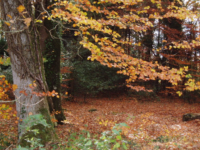
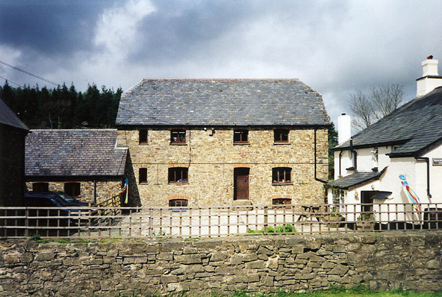
Brightley is known for its tranquil and idyllic setting, offering residents and visitors a peaceful retreat away from the hustle and bustle of urban life. The village is characterized by charming cottages, well-maintained gardens, and quaint narrow lanes that add to its traditional English village charm.
Despite its small size, Brightley has a strong sense of community, with a close-knit population that takes pride in maintaining the village's heritage and preserving its natural beauty. The local community center serves as a hub for various social events and activities, fostering a sense of belonging among residents.
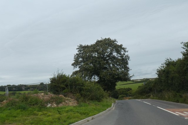
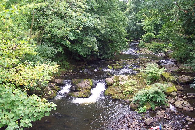
The surrounding countryside provides ample opportunities for outdoor enthusiasts, with numerous walking trails and cycling routes that showcase the area's stunning landscapes. The village is also conveniently located near the Tarka Trail, a popular long-distance footpath that runs along the route of a former railway line, offering scenic views of the River Torridge and the surrounding countryside.
In summary, Brightley is a charming village in Devon that offers a peaceful and close-knit community, stunning natural beauty, and easy access to outdoor activities. It is an ideal destination for those seeking a tranquil escape in the heart of the English countryside.
If you have any feedback on the listing, please let us know in the comments section below.
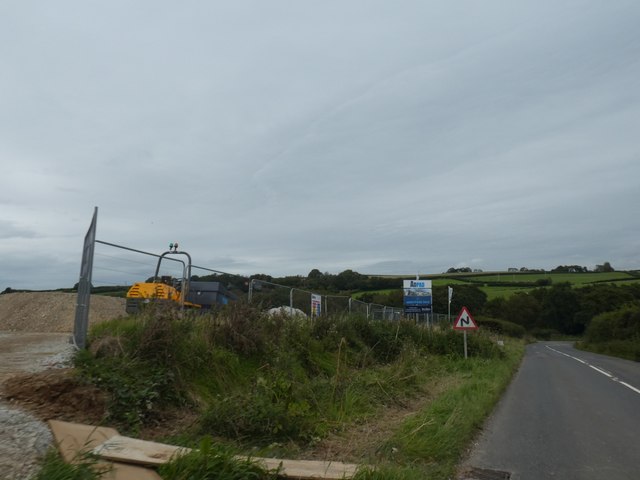
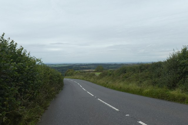
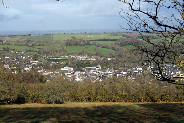
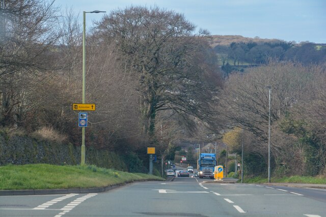
Brightley Images
Images are sourced within 2km of 50.758239/-3.989862 or Grid Reference SX5997. Thanks to Geograph Open Source API. All images are credited.


Brightley is located at Grid Ref: SX5997 (Lat: 50.758239, Lng: -3.989862)
Administrative County: Devon
District: West Devon
Police Authority: Devon and Cornwall
What 3 Words
///broken.observers.bribing. Near Okehampton, Devon
Nearby Locations
Related Wikis

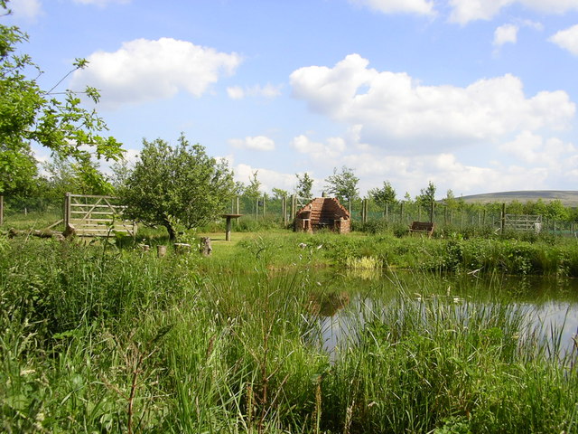
Brightley Priory
Brightley Priory was founded in 1133 as a Cistercian monastery. It was built in 1136 and was situated about two miles north of Okehampton in Devon and...
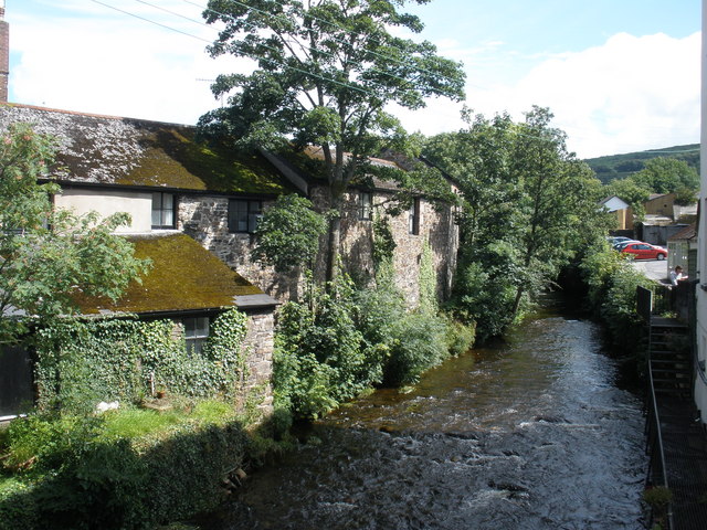
East Okement River
East Okement is a river in the Dartmoor moors in Devon in south-west England. It joins the West Okement at Okehampton to form the Okement. == References ==
Okehampton Parkway railway station
Okehampton Parkway is a proposed railway station in Okehampton on the Dartmoor Line. The station would be part of the Devon Metro and has been described...
Okehampton Hamlets
Okehampton Hamlets is a civil parish in the Borough of West Devon and the English county of Devon, it runs independently from the Okehampton Town Council...
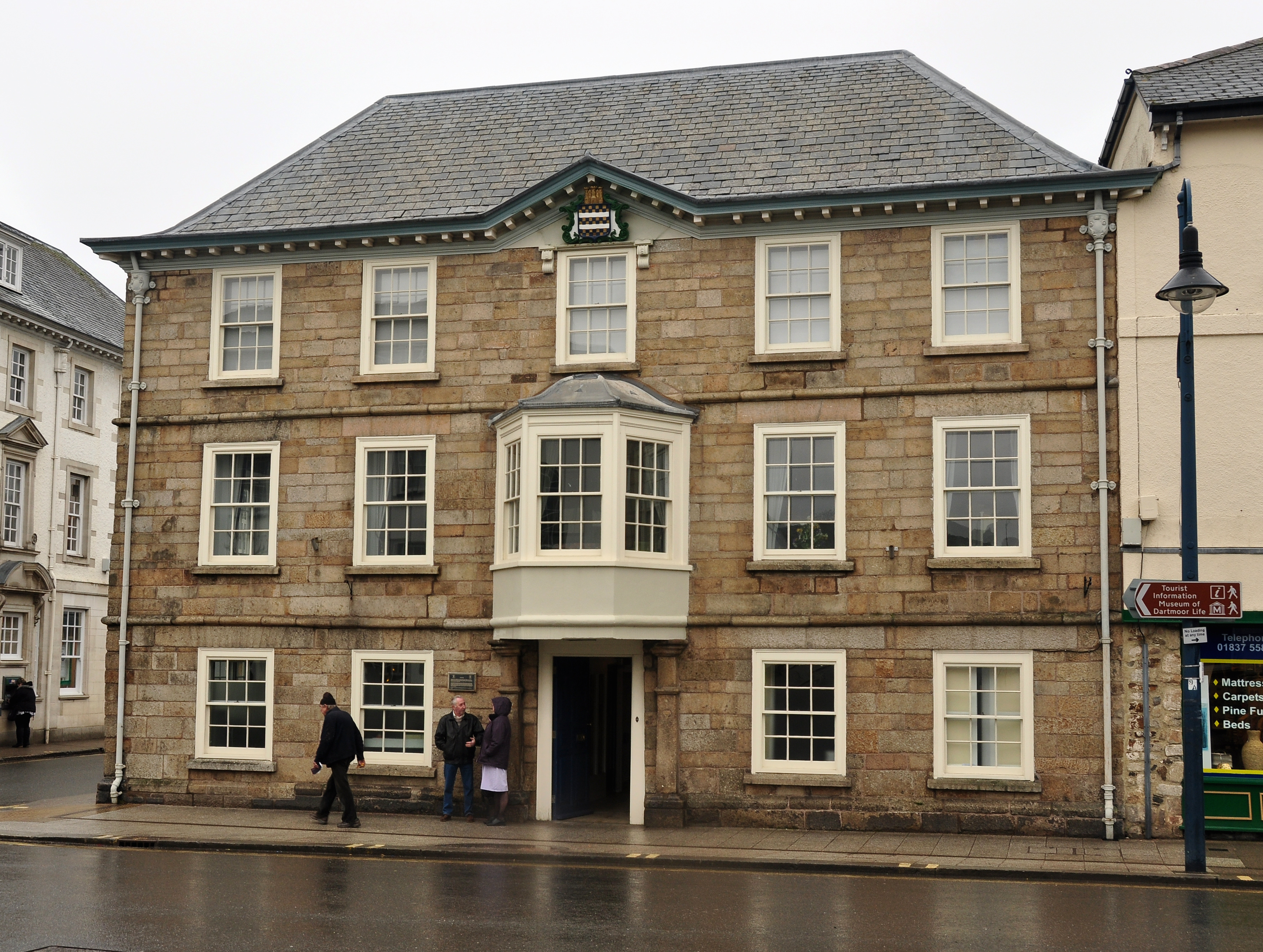
Okehampton Town Hall
Okehampton Town Hall is a municipal building in Fore Street, Okehampton, Devon, England. The town hall, which is the meeting place of Okehampton Town Council...
Stockley, Devon
Stockley is a hamlet on the eastern outskirts of Okehampton, in Devon, England. It lies just north of the A30. == References == The geographic coordinates...

Okehampton
Okehampton ( or ) is a town and civil parish in West Devon in the English county of Devon. It is situated at the northern edge of Dartmoor, and had a population...
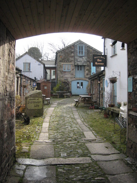
Museum of Dartmoor Life
The Museum of Dartmoor Life (MDL) is a local museum in Okehampton, Devon, southwest England. It covers life in the Dartmoor area. The museum opened in...
Nearby Amenities
Located within 500m of 50.758239,-3.989862Have you been to Brightley?
Leave your review of Brightley below (or comments, questions and feedback).