North Wood
Wood, Forest in Devon West Devon
England
North Wood

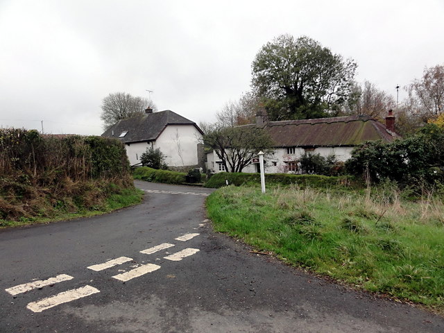
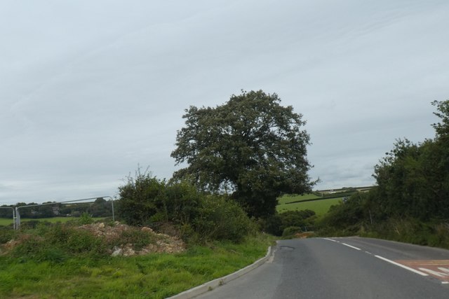
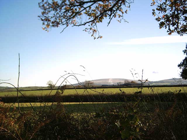
North Wood is a charming village located in Devon, England. Known for its picturesque landscapes and serene atmosphere, it is nestled within a dense forest, giving it a distinct woodland character. The village is surrounded by lush greenery and offers breathtaking views of the countryside.
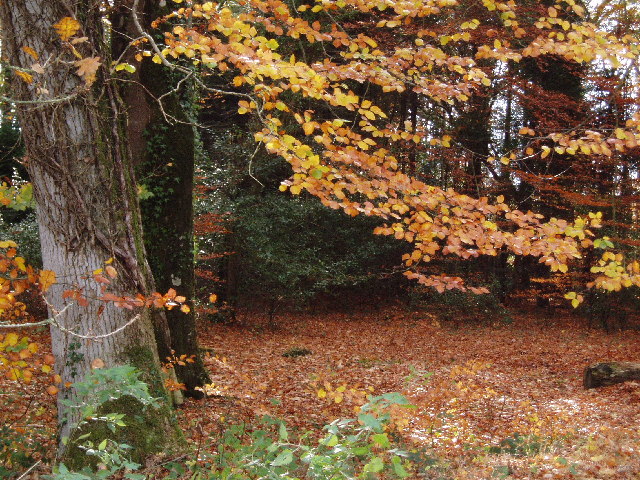
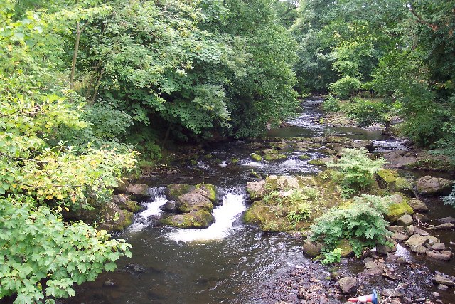
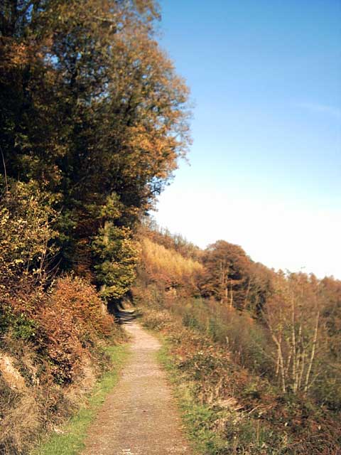
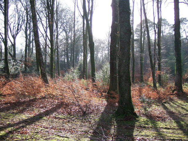
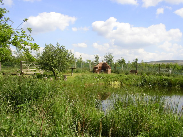
The area is renowned for its extensive woodland, which provides a habitat for a diverse range of wildlife, including various species of birds, mammals, and insects. The forest boasts a rich biodiversity and is a popular destination for nature enthusiasts and hikers who enjoy exploring its numerous walking trails.
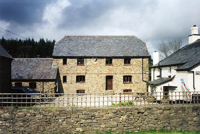
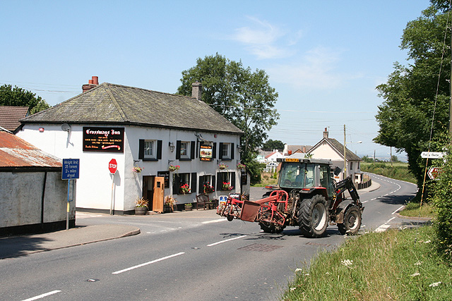
North Wood itself is a small, tight-knit community with a population of around 500 residents. The village is characterized by its traditional architecture, with charming cottages and stone houses lining the streets. The village center features a few local shops, a village hall, and a quaint pub where residents and visitors can gather and socialize.
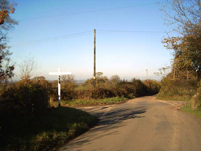
Despite its rural setting, North Wood is well-connected to nearby towns and cities. The village is located just a short drive away from the bustling market town of Tavistock, offering residents easy access to amenities and services.
Overall, North Wood, Devon is a tranquil and idyllic village that offers a peaceful retreat for those seeking a slower pace of life amidst the beauty of nature.
If you have any feedback on the listing, please let us know in the comments section below.
North Wood Images
Images are sourced within 2km of 50.761865/-3.9985758 or Grid Reference SX5997. Thanks to Geograph Open Source API. All images are credited.


North Wood is located at Grid Ref: SX5997 (Lat: 50.761865, Lng: -3.9985758)
Administrative County: Devon
District: West Devon
Police Authority: Devon and Cornwall
What 3 Words
///shame.microchip.adults. Near Okehampton, Devon
Nearby Locations
Related Wikis

Brightley Priory
Brightley Priory was founded in 1133 as a Cistercian monastery. It was built in 1136 and was situated about two miles north of Okehampton in Devon and...
Folly Gate
Folly Gate is a village in the civil parish of Inwardleigh, in the West Devon district, in the county of Devon, England. It is situated near Okehampton...
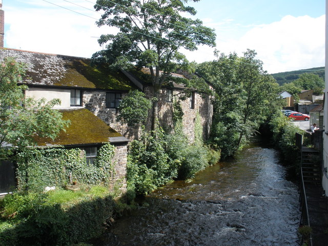
East Okement River
East Okement is a river in the Dartmoor moors in Devon in south-west England. It joins the West Okement at Okehampton to form the Okement. == References ==
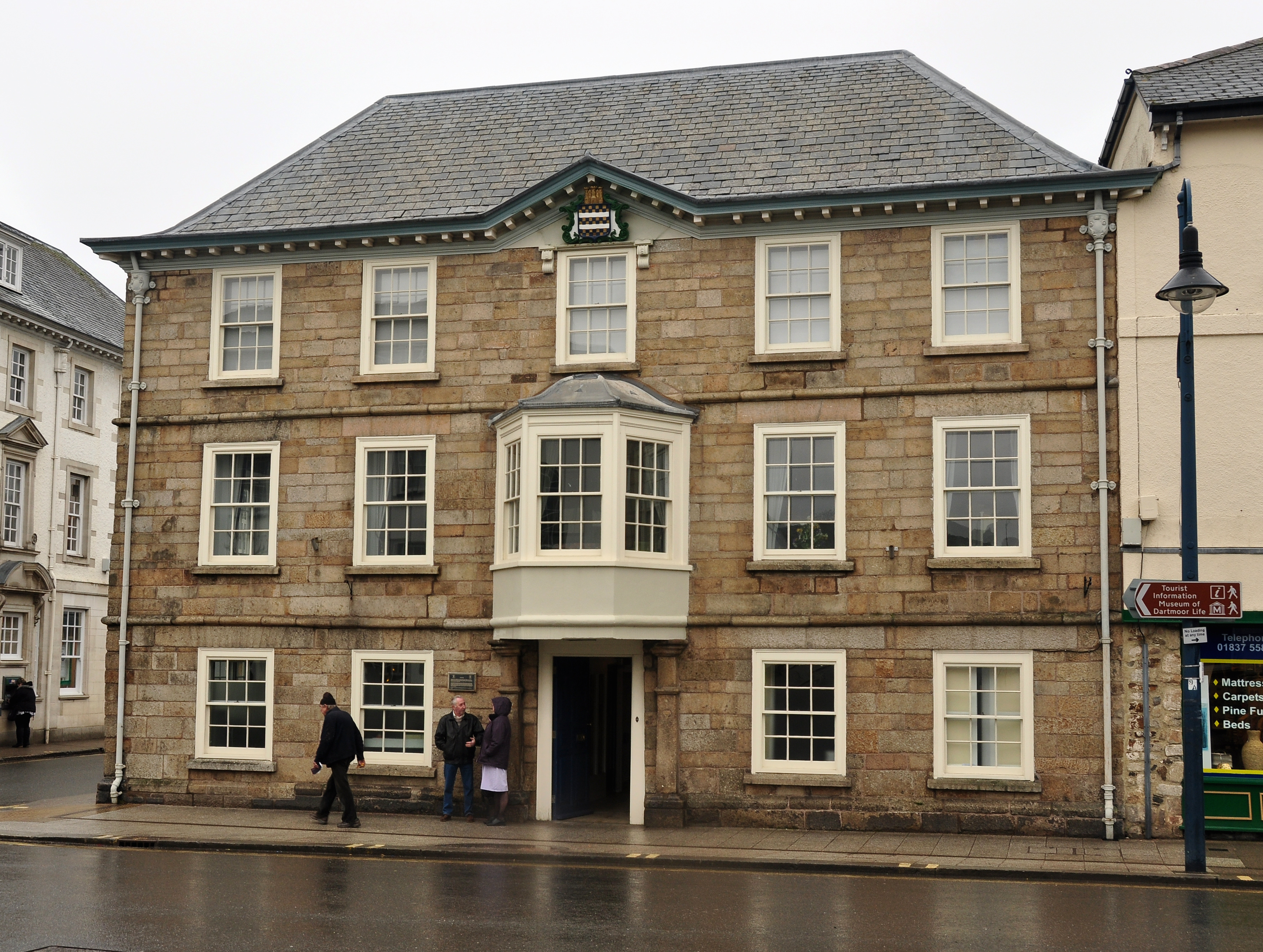
Okehampton Town Hall
Okehampton Town Hall is a municipal building in Fore Street, Okehampton, Devon, England. The town hall, which is the meeting place of Okehampton Town Council...

Okehampton
Okehampton ( or ) is a town and civil parish in West Devon in the English county of Devon. It is situated at the northern edge of Dartmoor, and had a population...
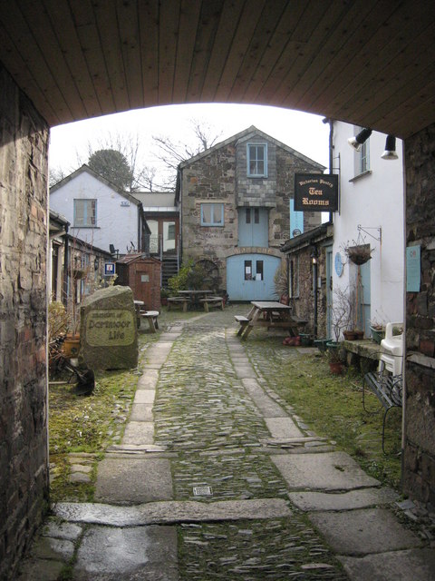
Museum of Dartmoor Life
The Museum of Dartmoor Life (MDL) is a local museum in Okehampton, Devon, southwest England. It covers life in the Dartmoor area. The museum opened in...
Okehampton Parkway railway station
Okehampton Parkway is a proposed railway station in Okehampton on the Dartmoor Line. The station would be part of the Devon Metro and has been described...
Okehampton Hamlets
Okehampton Hamlets is a civil parish in the Borough of West Devon and the English county of Devon, it runs independently from the Okehampton Town Council...
Nearby Amenities
Located within 500m of 50.761865,-3.9985758Have you been to North Wood?
Leave your review of North Wood below (or comments, questions and feedback).