Abbeyford Woods
Wood, Forest in Devon West Devon
England
Abbeyford Woods

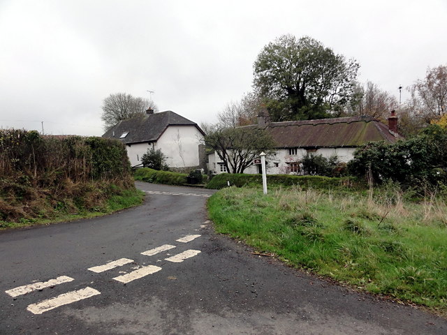
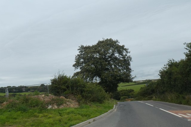
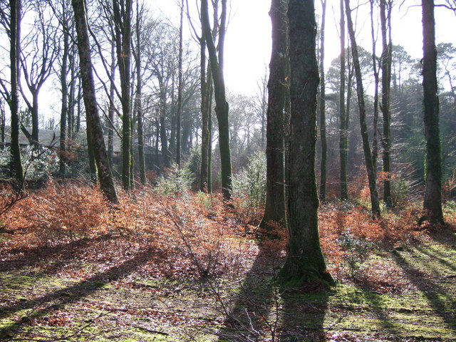
Abbeyford Woods is a captivating woodland located in the county of Devon, England. Spanning over a vast area, this forest is a haven for nature enthusiasts and outdoor adventurers alike. The woods are situated near the village of Abbeyford, nestled in the rolling hills and picturesque landscapes of the Devonshire countryside.
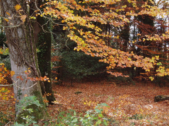
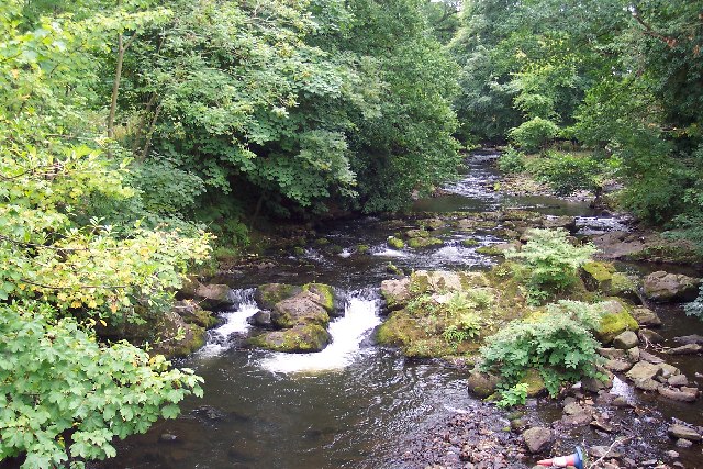
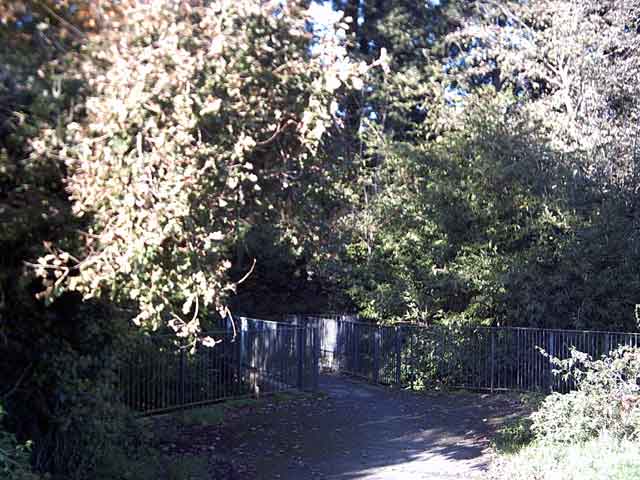
Boasting an extensive network of well-maintained trails, Abbeyford Woods offers visitors the opportunity to explore its enchanting beauty on foot, bike, or horseback. The forest is home to a diverse range of flora and fauna, with ancient trees, vibrant wildflowers, and an abundance of wildlife.
One of the main attractions of Abbeyford Woods is its tranquil atmosphere, providing a peaceful retreat from the hustle and bustle of everyday life. The forest's serene ambiance makes it a popular spot for nature walks, meditation, and photography. Walking through the woods, visitors can relish in the fresh scent of pine, the gentle rustling of leaves, and the melodious songs of birds.
Abbeyford Woods also offers various recreational activities, including picnic areas, designated camping spots, and children's play areas. Families can enjoy quality time together, surrounded by the beauty of nature. For those seeking a more adventurous experience, the woods provide opportunities for orienteering, geocaching, and wildlife spotting.
Overall, Abbeyford Woods in Devon is a captivating and diverse woodland, offering a range of recreational activities and a chance to immerse oneself in the tranquility of nature. It is a place where visitors can escape from the pressures of daily life and connect with the natural world around them.
If you have any feedback on the listing, please let us know in the comments section below.
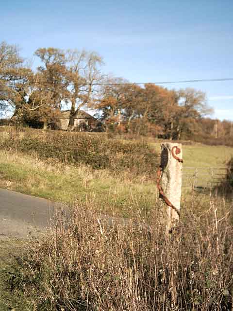
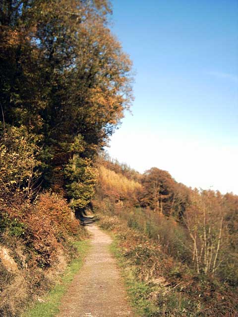
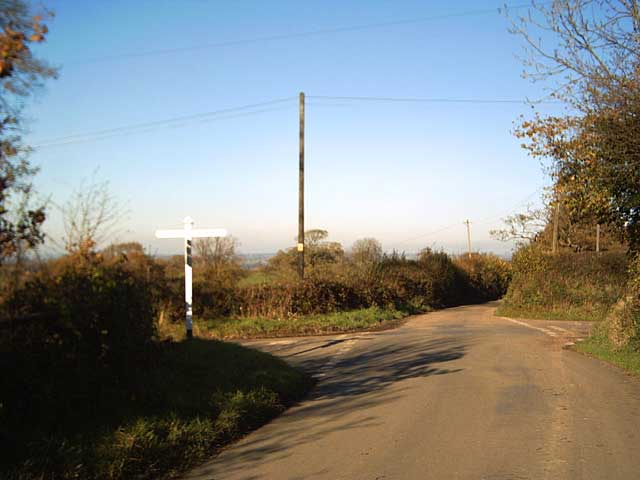
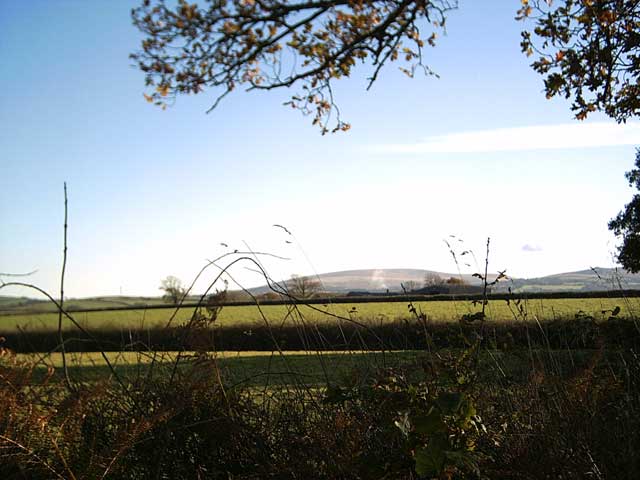
Abbeyford Woods Images
Images are sourced within 2km of 50.75953/-4.0020353 or Grid Reference SX5897. Thanks to Geograph Open Source API. All images are credited.


Abbeyford Woods is located at Grid Ref: SX5897 (Lat: 50.75953, Lng: -4.0020353)
Administrative County: Devon
District: West Devon
Police Authority: Devon and Cornwall
What 3 Words
///sourced.cherry.prettiest. Near Okehampton, Devon
Nearby Locations
Related Wikis

Brightley Priory
Brightley Priory was founded in 1133 as a Cistercian monastery. It was built in 1136 and was situated about two miles north of Okehampton in Devon and...
Folly Gate
Folly Gate is a village in the civil parish of Inwardleigh, in the West Devon district, in the county of Devon, England. It is situated near Okehampton...
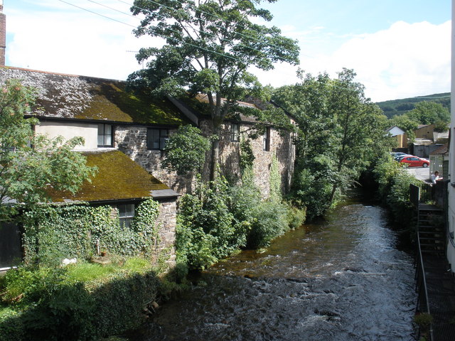
East Okement River
East Okement is a river in the Dartmoor moors in Devon in south-west England. It joins the West Okement at Okehampton to form the Okement. == References ==
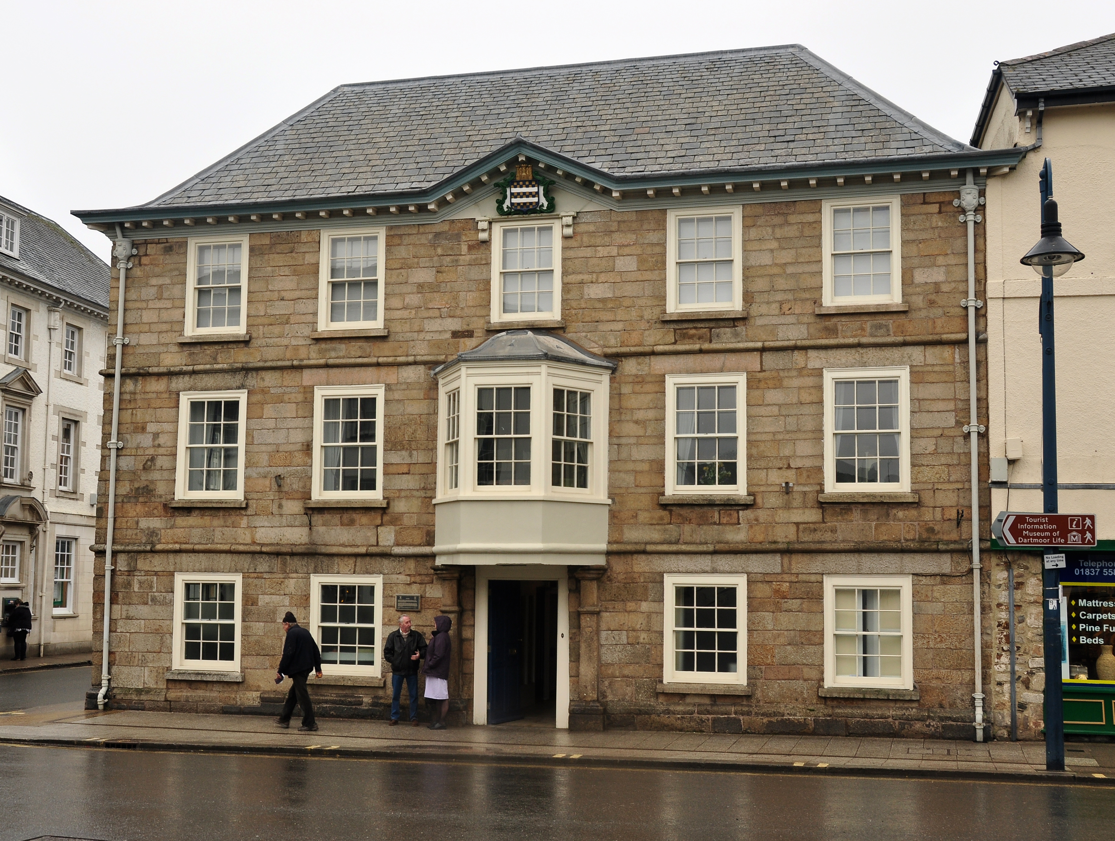
Okehampton Town Hall
Okehampton Town Hall is a municipal building in Fore Street, Okehampton, Devon, England. The town hall, which is the meeting place of Okehampton Town Council...

Okehampton
Okehampton ( or ) is a town and civil parish in West Devon in the English county of Devon. It is situated at the northern edge of Dartmoor, and had a population...
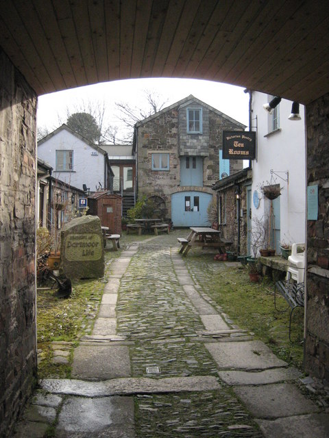
Museum of Dartmoor Life
The Museum of Dartmoor Life (MDL) is a local museum in Okehampton, Devon, southwest England. It covers life in the Dartmoor area. The museum opened in...
Okehampton College
Okehampton College is a co-educational secondary school and sixth form located in Okehampton in the English county of Devon. == History == Previously a...

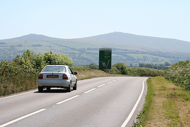
A386 road
The A386 is a primary route in Devon, England. It runs from Plymouth on the south coast to Appledore on the north coast. The road starts in the centre...
Nearby Amenities
Located within 500m of 50.75953,-4.0020353Have you been to Abbeyford Woods?
Leave your review of Abbeyford Woods below (or comments, questions and feedback).