Heath Hill Copse
Wood, Forest in Devon West Devon
England
Heath Hill Copse

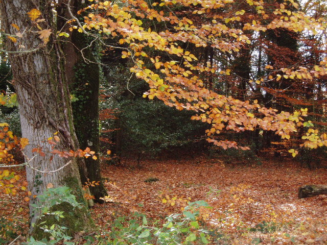
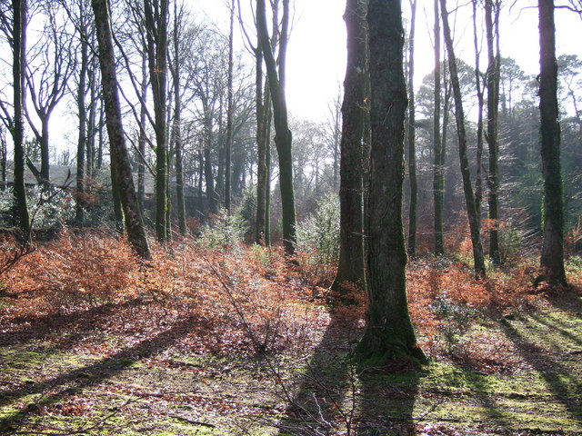
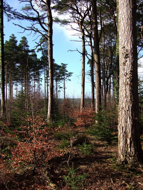
Heath Hill Copse is a picturesque woodland located in the county of Devon, England. Spanning over a vast area, the copse is known for its diverse range of flora and fauna, making it a popular destination for nature enthusiasts and hikers alike.
The copse is characterized by its dense canopy of trees, primarily consisting of oak, beech, and birch. These towering trees provide shade and shelter for an array of wildlife, including various bird species such as woodpeckers, owls, and thrushes. Additionally, the copse is home to small mammals like squirrels, badgers, and foxes, which can often be spotted scurrying through the undergrowth.
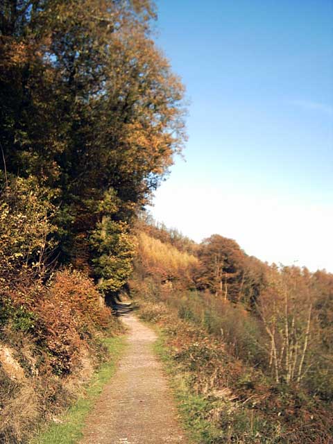
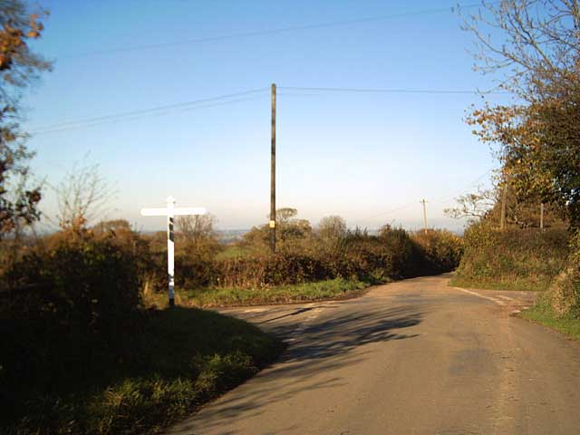
A network of well-maintained footpaths weaves its way through the copse, allowing visitors to explore its natural beauty at their own pace. The paths lead to secluded clearings, where visitors can relax and enjoy a picnic amidst the tranquility of the woodland.
Heath Hill Copse is particularly enchanting during the spring months when the forest floor is carpeted with an array of wildflowers, including bluebells, primroses, and violets. The vibrant colors and delicate scents create a mesmerizing atmosphere that attracts photographers and nature lovers seeking to capture the copse's ephemeral beauty.
In addition to its natural charm, Heath Hill Copse also holds historical significance. The copse is believed to have served as a vital resource for the local community in the past, providing timber and firewood. Remnants of old charcoal pits and saw pits can still be found scattered throughout the woodland, providing a glimpse into its rich history.
Overall, Heath Hill Copse is a captivating destination that offers a serene escape into nature, showcasing the beauty and diversity of Devon's woodlands.
If you have any feedback on the listing, please let us know in the comments section below.
Heath Hill Copse Images
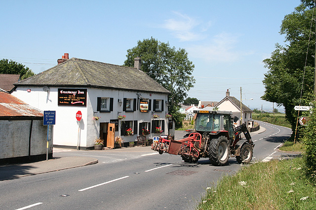
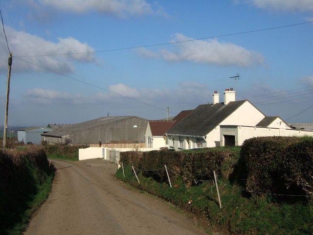
Images are sourced within 2km of 50.761954/-4.0091012 or Grid Reference SX5897. Thanks to Geograph Open Source API. All images are credited.


Heath Hill Copse is located at Grid Ref: SX5897 (Lat: 50.761954, Lng: -4.0091012)
Administrative County: Devon
District: West Devon
Police Authority: Devon and Cornwall
What 3 Words
///afflicted.item.thrones. Near Okehampton, Devon
Nearby Locations
Related Wikis

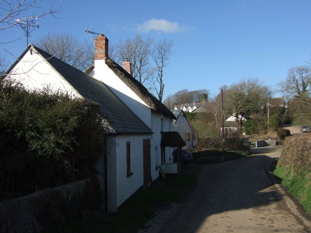
Folly Gate
Folly Gate is a village in the civil parish of Inwardleigh, in the West Devon district, in the county of Devon, England. It is situated near Okehampton...
Brightley Priory
Brightley Priory was founded in 1133 as a Cistercian monastery. It was built in 1136 and was situated about two miles north of Okehampton in Devon and...
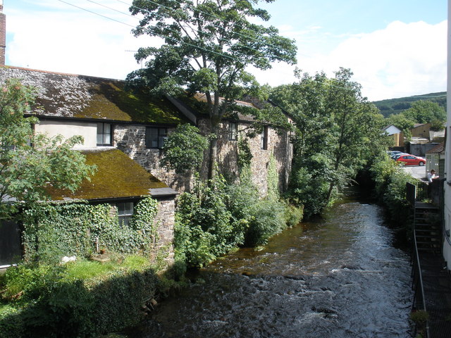
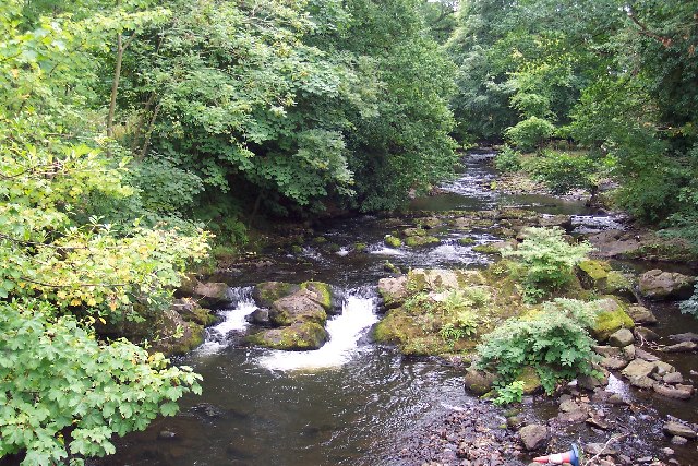
East Okement River
East Okement is a river in the Dartmoor moors in Devon in south-west England. It joins the West Okement at Okehampton to form the Okement. == References ==

A386 road
The A386 is a primary route in Devon, England. It runs from Plymouth on the south coast to Appledore on the north coast. The road starts in the centre...
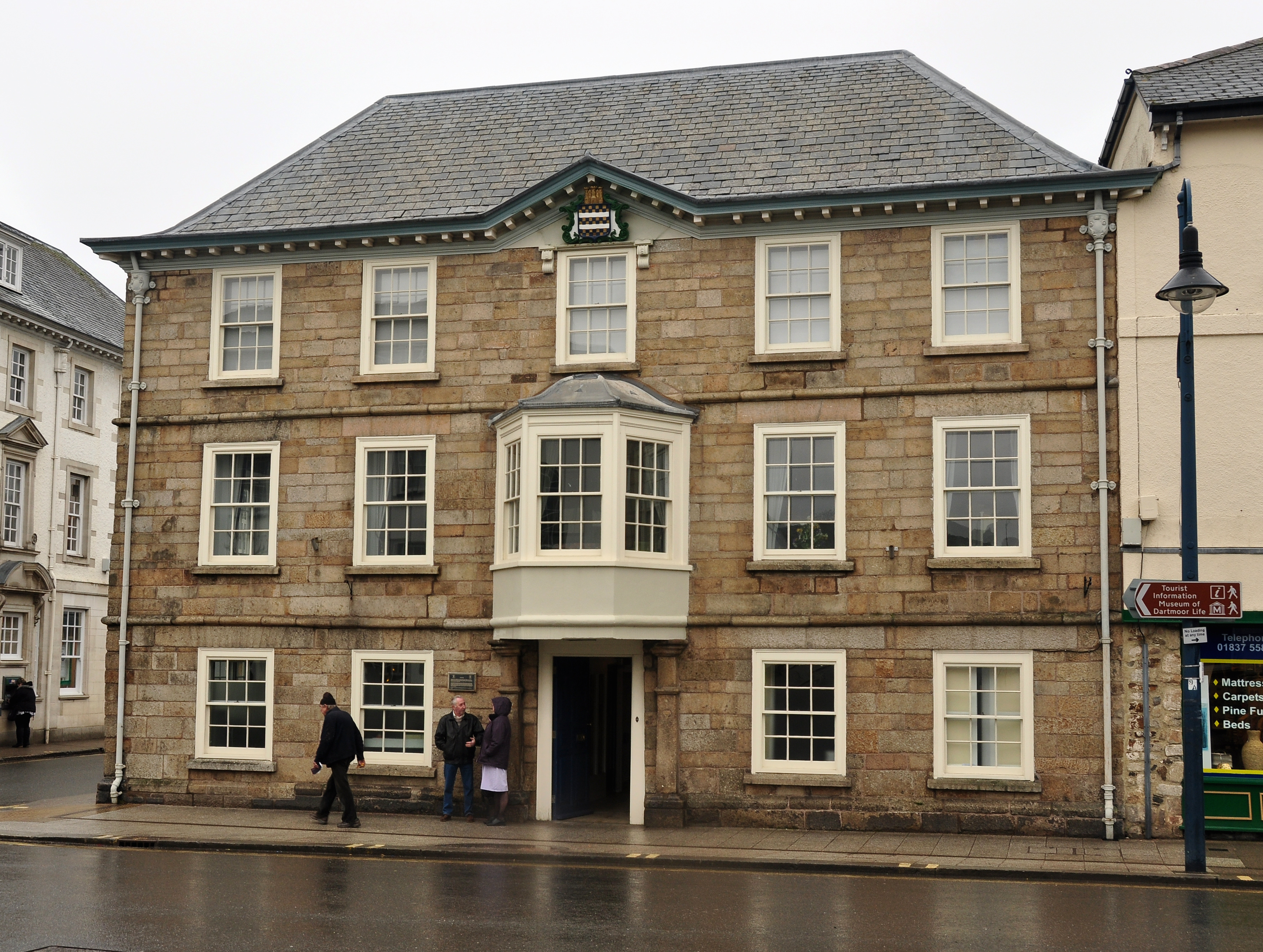
Okehampton Town Hall
Okehampton Town Hall is a municipal building in Fore Street, Okehampton, Devon, England. The town hall, which is the meeting place of Okehampton Town Council...

Okehampton
Okehampton ( or ) is a town and civil parish in West Devon in the English county of Devon. It is situated at the northern edge of Dartmoor, and had a population...
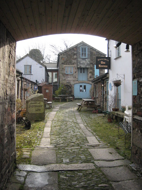
Museum of Dartmoor Life
The Museum of Dartmoor Life (MDL) is a local museum in Okehampton, Devon, southwest England. It covers life in the Dartmoor area. The museum opened in...
Inwardleigh
Inwardleigh is a village and civil parish about 3 and a half miles north north west of Okehampton railway station, in the West Devon district, in the county...
Nearby Amenities
Located within 500m of 50.761954,-4.0091012Have you been to Heath Hill Copse?
Leave your review of Heath Hill Copse below (or comments, questions and feedback).