Park Copse

Wood, Forest in Devon Torridge

England

Park Copse

Track on Shuteley Farm
Track on Shuteley Farm Credit: Roger Cornfoot

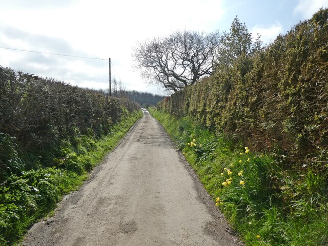
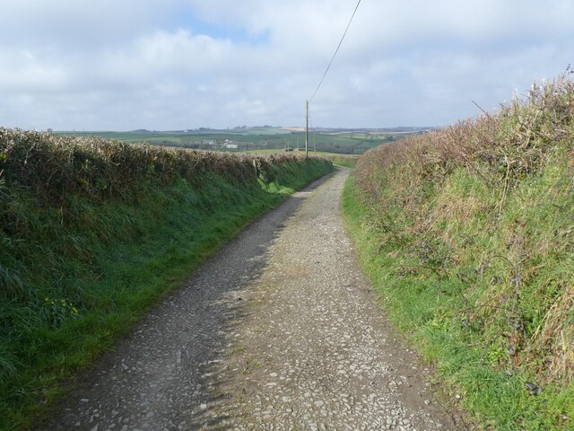
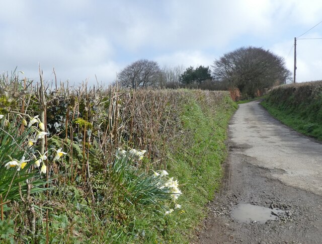
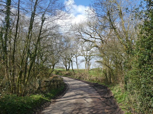
Park Copse is a serene woodland located in Devon, England. Spanning over a vast area, this enchanting forest is a haven for nature enthusiasts and provides a peaceful escape from the hustle and bustle of modern life. The copse is known for its diverse range of flora and fauna, making it a popular destination for wildlife lovers and botanists alike.

The woodland is characterized by an assortment of majestic trees, including oak, beech, and ash, which create a dense canopy that filters the sunlight, casting a beautiful dappled effect on the forest floor. The undergrowth is adorned with vibrant wildflowers, creating a picturesque setting throughout the seasons.

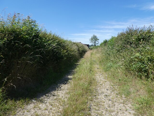
Traversing the copse, visitors can find well-maintained trails that wind their way through the forest, offering an opportunity to explore the serene surroundings. These trails are ideal for leisurely walks, jogging, or even cycling, providing a chance to appreciate the natural beauty of the area.

Birdwatchers will be delighted by the abundance of avian species that call Park Copse home. From the melodious songs of thrushes and warblers to the striking sight of woodpeckers excavating tree trunks, the forest is a paradise for bird enthusiasts. Keep an eye out for the elusive tawny owl, which can sometimes be spotted perched high in the trees.

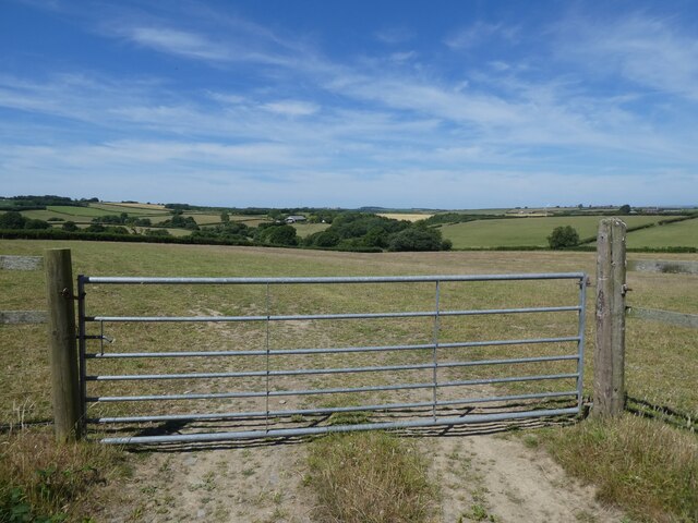
In addition to its natural beauty, Park Copse also offers several amenities for visitors. Picnic areas with well-placed benches provide the perfect spot to enjoy a packed lunch amidst the tranquil surroundings. The copse is also equipped with visitor facilities, including parking spaces and information boards to ensure a pleasant and informative visit.

Overall, Park Copse is a captivating woodland that offers a slice of tranquility and a chance to reconnect with nature. Its breathtaking landscapes, rich biodiversity, and recreational opportunities make it a must-visit destination for anyone seeking solace in the great outdoors.

If you have any feedback on the listing, please let us know in the comments section below.
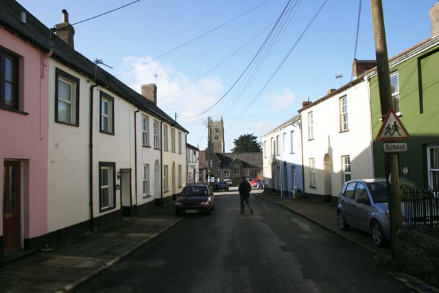
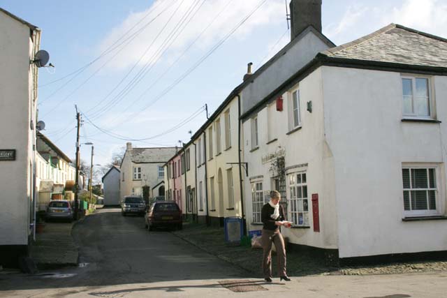
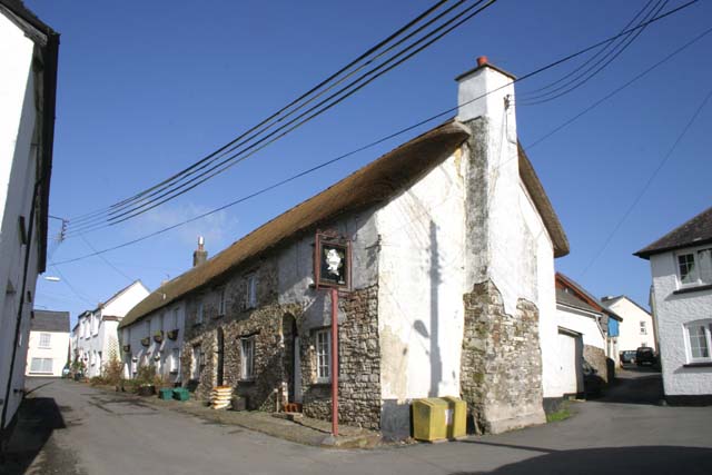
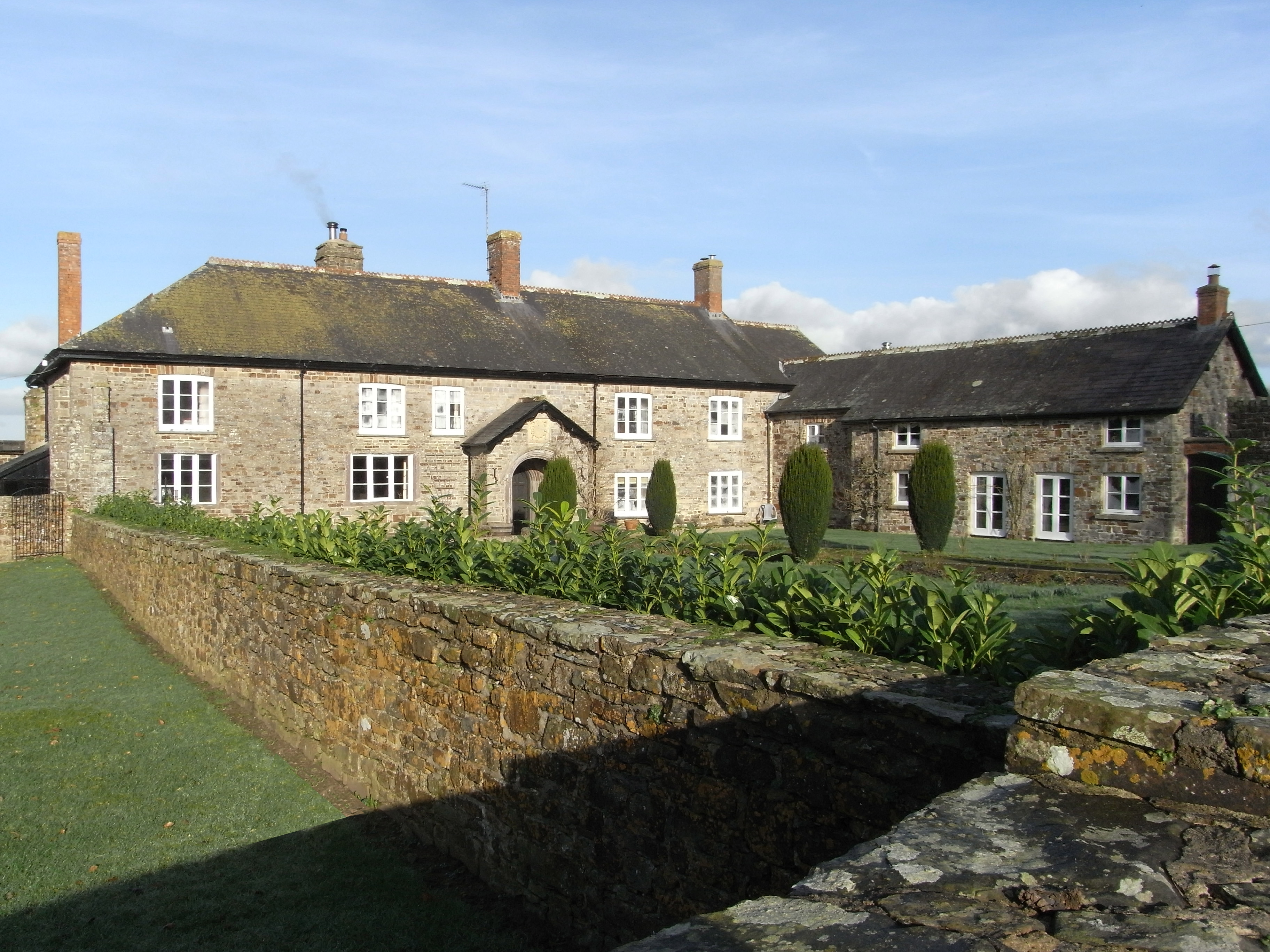
Park Copse Images

Images are sourced within 2km of 50.963986/-4.0179068 or Grid Reference SS5820. Thanks to Geograph Open Source API. All images are credited.

Track on Shuteley Farm
Turning for Ashleigh Apiary
View towards Yelland Moor
'Kol-Mar'
'Kol-Mar'
Natty Cross
Natty Cross
Minor road to Ebberley
'Colts Corner'
'Colts Corner'
Passmore Lodge
Passmore Lodge
Ebberley Hill Barton
Pasture, south of High Bickington
Lane to Deptford
Lane to Deptford
Quarries Lane
Quarries Lane
Quarries Lane
Quarries Lane
Lane to Natty Cross
Lane to Natty Cross
High Bickington High Street Looking down the High Street towards the Village School. Behind is the Church which is in Grid square SS5920
High Bickington High Street
Looking down the High Street towards the Village School. Behind is the Church which is in Grid square SS5920
High Bickington High Street and Post Office The Post Office on the corner also sells groceries since the Village Shop closed. The SS60 grid line passes at this point.
High Bickington High Street and Post Office
The Post Office on the corner also sells groceries since the Village Shop closed. The SS60 grid line passes at this point.
The Old George Inn Dating from the 16th Century, The Old George Inn in Poplar Terrace is one of two pubs in High Bickington. The 1Km Grid line runs down this road.
The Old George Inn
Dating from the 16th Century, The Old George Inn in Poplar Terrace is one of two pubs in High Bickington. The 1Km Grid line runs down this road.
Vauterhill Moor An isolated group of trees on pasture in a thinly inhabited part of Devon, seen from the lane from Deptford to Natty Cross.
Vauterhill Moor
An isolated group of trees on pasture in a thinly inhabited part of Devon, seen from the lane from Deptford to Natty Cross.
Show me another place!

Park Copse is located at Grid Ref: SS5820 (Lat: 50.963986, Lng: -4.0179068)

Administrative County: Devon

District: Torridge

Police Authority: Devon and Cornwall

What 3 Words

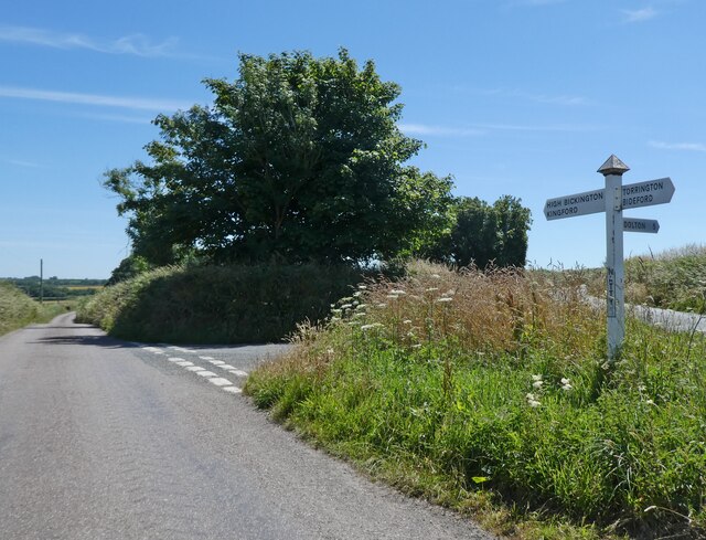
///musically.freedom.grief. Near Great Torrington, Devon

Related Wikis

High Bickington

High Bickington is a rural village and civil parish in the Torridge district of Devon, England. The village lies on the B3217 road, around 6 miles (10...

Atherington, Devon

Atherington is a village and civil parish in the North Devon district of Devon, England, about 8 miles south of Barnstaple. According to the 2001 census...

Roborough, Torridge

Roborough is a village and civil parish 5.5 mi (8.9 km) from Great Torrington, in Devon, England. Situated topographically on the plateau between the Torridge...

Brightley, Chittlehampton

Brightley was historically the principal secondary estate within the parish and former manor of Chittlehampton in the county of Devon, England, situated...

Nearby Amenities

Located within 500m of 50.963986,-4.0179068
Seckington
Place: hamlet
Source: OS_OpenData_StreetView
Lat/Long: 50.963846/-4.0124128
Direction: SSE
Generator Method: photovoltaic
Generator Output Electricity: yes
Generator Solar Modules: 2
Generator Source: solar
Generator Type: solar_photovoltaic_panel
Location: roof
Power: generator
Lat/Long: 50.963732/-4.0135355
Direction: SSE
Generator Method: photovoltaic
Generator Output Electricity: yes
Generator Solar Modules: 6
Generator Source: solar
Generator Type: solar_photovoltaic_panel
Location: roof
Power: generator
Lat/Long: 50.9637295/-4.0135516
Direction: SSE
Generator Method: photovoltaic
Generator Output Electricity: yes
Generator Solar Modules: 6
Generator Source: solar
Generator Type: solar_photovoltaic_panel
Location: roof
Power: generator
Lat/Long: 50.9637242/-4.0135734
Direction: SSE
Generator Method: photovoltaic
Generator Output Electricity: yes
Generator Solar Modules: 6
Generator Source: solar
Generator Type: solar_photovoltaic_panel
Location: roof
Power: generator
Lat/Long: 50.9637194/-4.0135952
Power: pole
Source: bing
Lat/Long: 50.964239/-4.0226591
Power: pole
Source: bing
Lat/Long: 50.9633251/-4.0230963
Power: pole
Source: bing
Lat/Long: 50.9627288/-4.0242992
Power: pole
Source: bing
Lat/Long: 50.961798/-4.0236703
Power: pole
Source: bing
Lat/Long: 50.9609457/-4.0231043
Power: pole
Source: bing
Lat/Long: 50.9606255/-4.0217726
Power: pole
Source: bing
Lat/Long: 50.9611459/-4.020524
Power: pole
Source: bing
Lat/Long: 50.9616273/-4.0193868
Power: pole
Source: bing
Lat/Long: 50.9645498/-4.0109526
Power: pole
Source: bing
Lat/Long: 50.9620015/-4.018499
Power: pole
Source: bing
Lat/Long: 50.9624087/-4.0175173
Power: pole
Source: bing
Lat/Long: 50.962853/-4.0164793
Power: pole
Source: bing
Lat/Long: 50.963331/-4.0153205
Power: pole
Source: bing
Lat/Long: 50.9638623/-4.0140532
Power: pole
Source: bing
Transformer: distribution
Lat/Long: 50.964114/-4.0129173
Power: pole
Source: bing
Lat/Long: 50.9643606/-4.0117814
Generator Method: wind_turbine
Generator Output Electricity: yes
Generator Source: wind
Power: generator
Lat/Long: 50.962635/-4.022077
Power: pole
Source: bing
Transformer: distribution
Lat/Long: 50.9647847/-4.0224338
The data included in this document is from www.openstreetmap.org. The data is made available under ODbL.

Have you been to Park Copse?

Leave your review of Park Copse below (or comments, questions and feedback).