Hill Copse

Wood, Forest in Devon Torridge

England

Hill Copse

Track on Shuteley Farm
Track on Shuteley Farm Credit: Roger Cornfoot

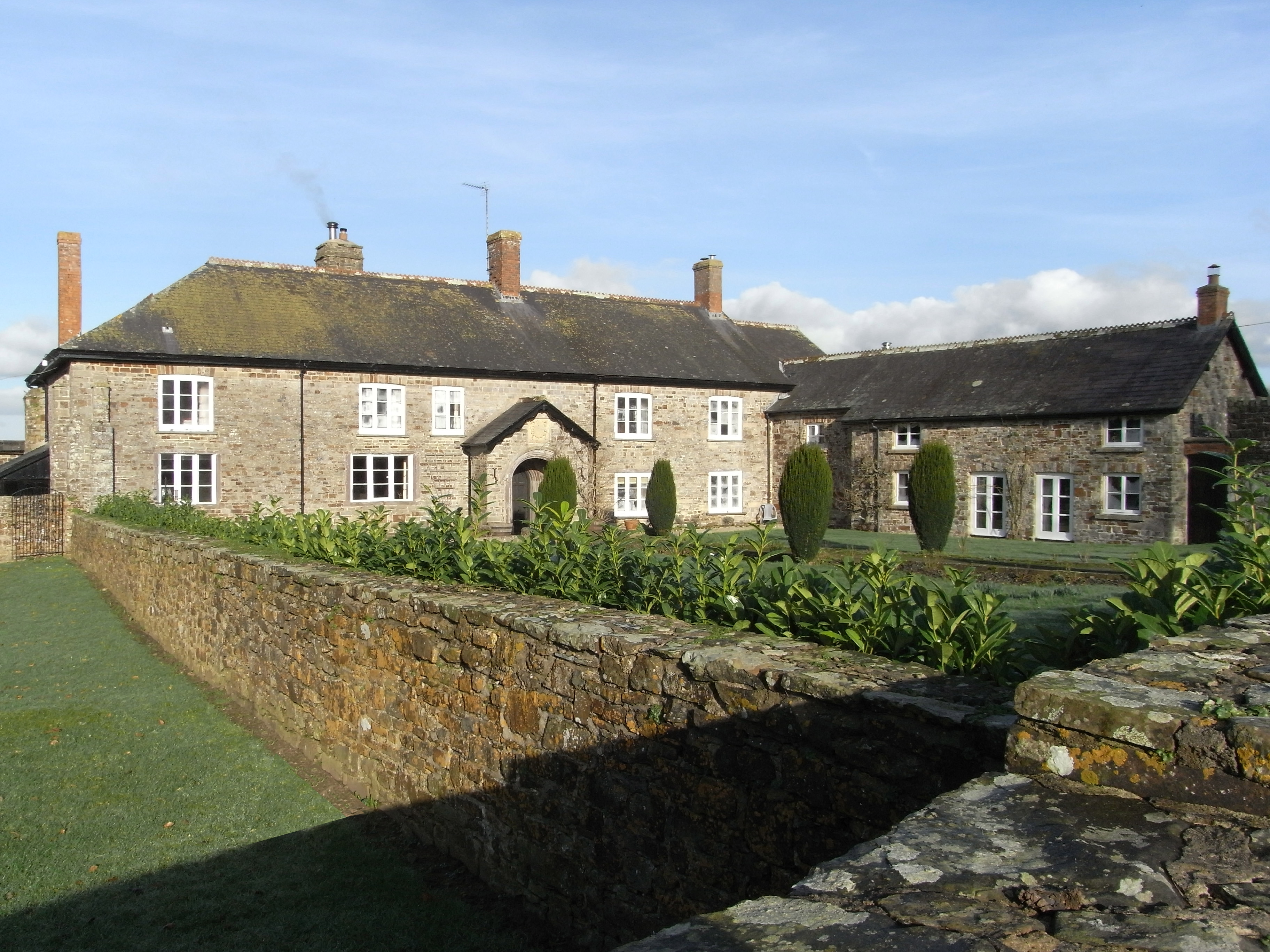
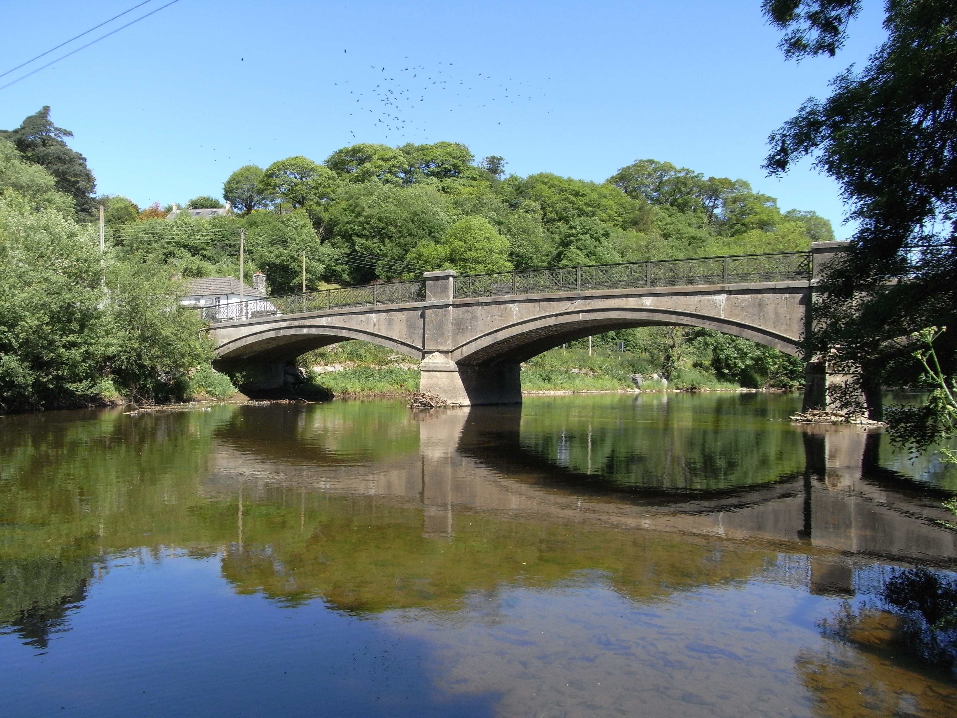
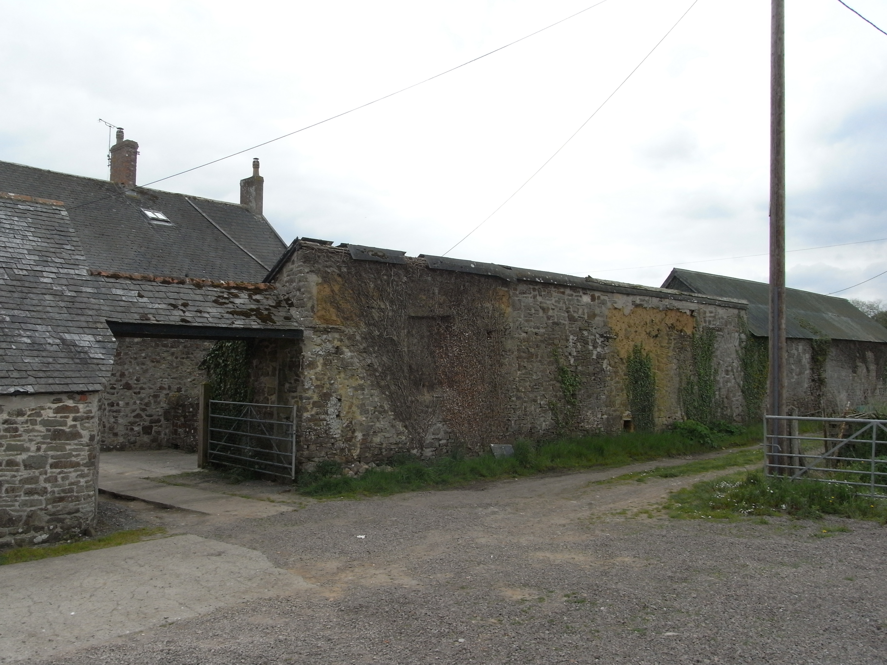
Hill Copse is a beautiful woodland area located in the county of Devon, England. Nestled in the heart of the county, this serene forest is a popular destination for nature enthusiasts and those seeking tranquility away from the hustle and bustle of city life.

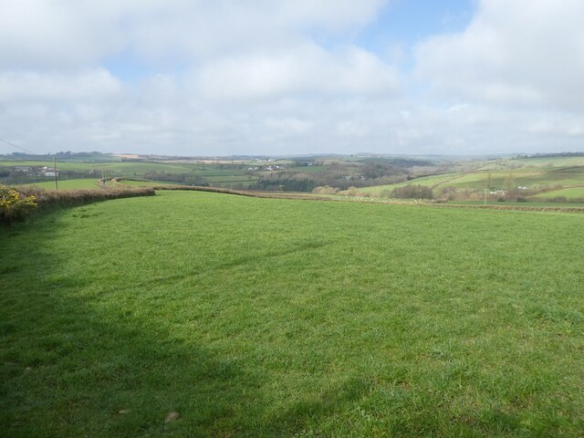
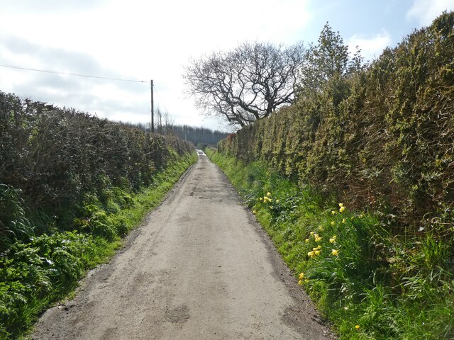
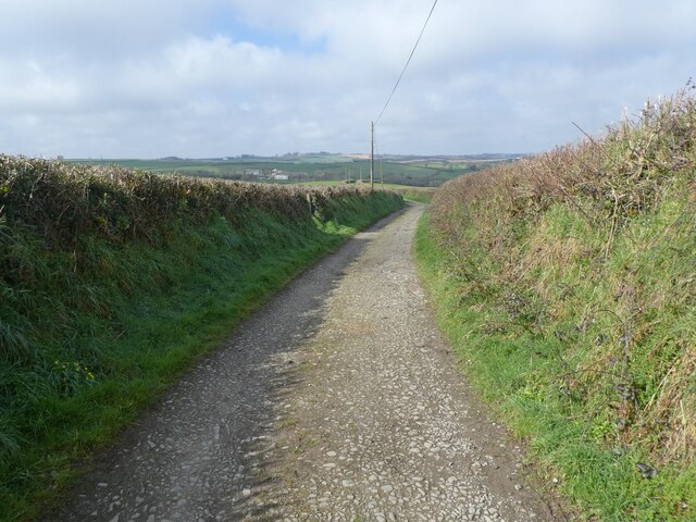
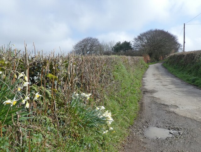
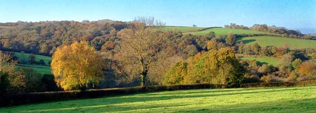
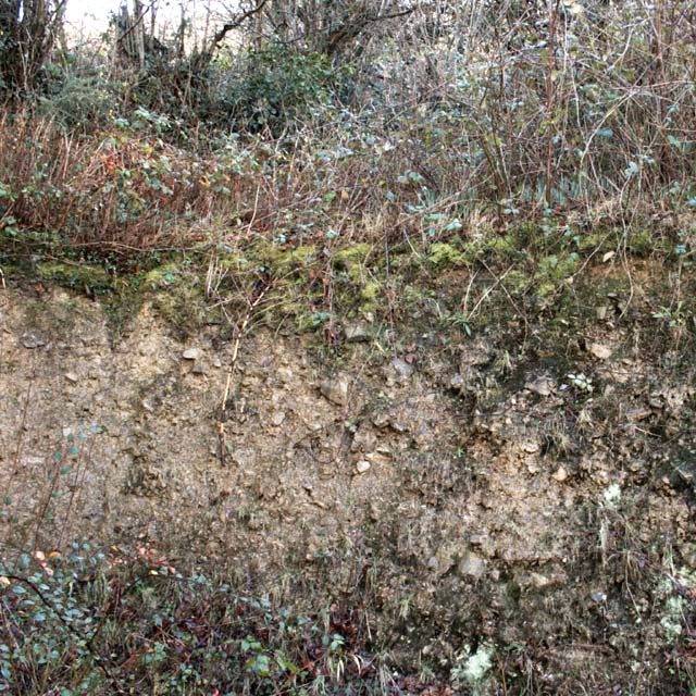
Covering an area of approximately 100 acres, Hill Copse is characterized by its dense and diverse vegetation. The forest is predominantly made up of native tree species such as oak, beech, and birch, which create a rich and vibrant canopy overhead. The forest floor is carpeted with a variety of wildflowers and ferns, adding to the area's natural beauty.

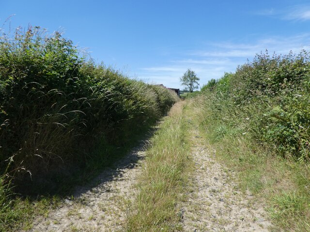
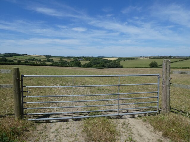
The copse is intersected by a network of well-maintained walking trails, allowing visitors to explore its enchanting surroundings at their leisure. These paths wind through the forest, leading to hidden glades, babbling brooks, and picturesque viewpoints. The tranquil atmosphere of Hill Copse is further enhanced by the absence of vehicular access, making it a haven for wildlife and a peaceful retreat for visitors.

The forest is home to a diverse range of fauna, including deer, foxes, badgers, and a myriad of bird species. Nature enthusiasts can often spot woodpeckers, owls, and various songbirds, making Hill Copse a haven for birdwatching.

Hill Copse is managed by the local authorities, who ensure its preservation and protection for future generations. Visitors are encouraged to respect the natural environment and adhere to the designated trails to minimize their impact on this precious ecosystem.

Overall, Hill Copse in Devon offers a slice of untouched nature, providing a peaceful and idyllic retreat for those seeking solace in the beauty of the natural world.

If you have any feedback on the listing, please let us know in the comments section below.
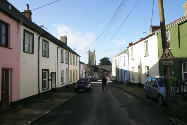
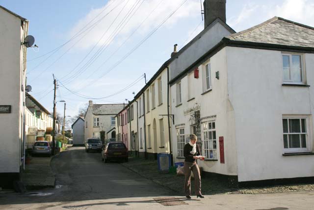
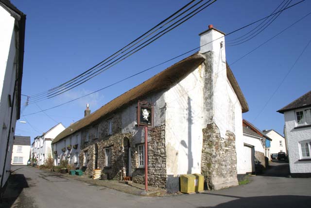
Hill Copse Images

Images are sourced within 2km of 50.966171/-4.011151 or Grid Reference SS5820. Thanks to Geograph Open Source API. All images are credited.

Track on Shuteley Farm
Turning for Ashleigh Apiary
View towards Yelland Moor
'Kol-Mar'
'Kol-Mar'
Natty Cross
Natty Cross
Minor road to Ebberley
'Colts Corner'
'Colts Corner'
Passmore Lodge
Passmore Lodge
Pasture, south of High Bickington
Lane to Deptford
Lane to Deptford
Quarries Lane
Quarries Lane
Quarries Lane
Quarries Lane
Autumn view from centre of grid square Grazing land on Devon Culm. Knapp Wood is on upper left, which is natural woodland.
Autumn view from centre of grid square
Grazing land on Devon Culm. Knapp Wood is on upper left, which is natural woodland.
High Bickington High Street Looking down the High Street towards the Village School. Behind is the Church which is in Grid square SS5920
High Bickington High Street
Looking down the High Street towards the Village School. Behind is the Church which is in Grid square SS5920
High Bickington High Street and Post Office The Post Office on the corner also sells groceries since the Village Shop closed. The SS60 grid line passes at this point.
High Bickington High Street and Post Office
The Post Office on the corner also sells groceries since the Village Shop closed. The SS60 grid line passes at this point.
The Old George Inn Dating from the 16th Century, The Old George Inn in Poplar Terrace is one of two pubs in High Bickington. The 1Km Grid line runs down this road.
The Old George Inn
Dating from the 16th Century, The Old George Inn in Poplar Terrace is one of two pubs in High Bickington. The 1Km Grid line runs down this road.
Devon Culm Subsoil This is what is under your feet in this part of Devon. The subsoil is very stony and well-drained with a thin but fertile topsoil with a high clay content. This bank was cut into a fairly steep hillside. Agriculturally, this type of land is mainly used for grazing or forestry.
Devon Culm Subsoil
This is what is under your feet in this part of Devon. The subsoil is very stony and well-drained with a thin but fertile topsoil with a high clay content. This bank was cut into a fairly steep hillside. Agriculturally, this type of land is mainly used for grazing or forestry.
Vauterhill Moor An isolated group of trees on pasture in a thinly inhabited part of Devon, seen from the lane from Deptford to Natty Cross.
Vauterhill Moor
An isolated group of trees on pasture in a thinly inhabited part of Devon, seen from the lane from Deptford to Natty Cross.
Show me another place!

Hill Copse is located at Grid Ref: SS5820 (Lat: 50.966171, Lng: -4.011151)

Administrative County: Devon

District: Torridge

Police Authority: Devon and Cornwall

What 3 Words

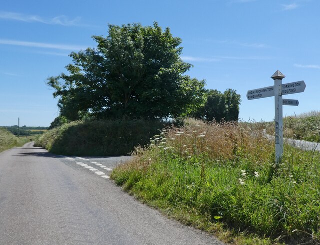
///bits.lifeguard.internet. Near Great Torrington, Devon

Related Wikis

High Bickington

High Bickington is a rural village and civil parish in the Torridge district of Devon, England. The village lies on the B3217 road, around 6 miles (10...

Atherington, Devon

Atherington is a village and civil parish in the North Devon district of Devon, England, about 8 miles south of Barnstaple. According to the 2001 census...

Brightley, Chittlehampton

Brightley was historically the principal secondary estate within the parish and former manor of Chittlehampton in the county of Devon, England, situated...

Roborough, Torridge

Roborough is a village and civil parish 5.5 mi (8.9 km) from Great Torrington, in Devon, England. Situated topographically on the plateau between the Torridge...

Umberleigh

Umberleigh is a former large manor within the historic hundred of (North) Tawton, but today a small village in North Devon in England. It used to be an...

Umberleigh railway station

Umberleigh railway station serves the village of Umberleigh in Devon, England. It is on the Tarka Line to Barnstaple, 33 miles 22 chains (53.6 km) from...

Holy Trinity Chapel, Umberleigh

The Chapel of the Holy Trinity at Umberleigh is a ruinous mediaeval chapel in north Devon, England, largely demolished according to Lysons (1822) in about...

Yarnscombe

Yarnscombe is a small village and parish in the Torridge area of Devon, England. It is situated approximately 5 miles (8 km) from Great Torrington and...

Nearby Amenities

Located within 500m of 50.966171,-4.011151
Seckington
Place: hamlet
Source: OS_OpenData_StreetView
Lat/Long: 50.963846/-4.0124128
Direction: SSE
Generator Method: photovoltaic
Generator Output Electricity: yes
Generator Solar Modules: 2
Generator Source: solar
Generator Type: solar_photovoltaic_panel
Location: roof
Power: generator
Lat/Long: 50.963732/-4.0135355
Direction: SSE
Generator Method: photovoltaic
Generator Output Electricity: yes
Generator Solar Modules: 6
Generator Source: solar
Generator Type: solar_photovoltaic_panel
Location: roof
Power: generator
Lat/Long: 50.9637295/-4.0135516
Direction: SSE
Generator Method: photovoltaic
Generator Output Electricity: yes
Generator Solar Modules: 6
Generator Source: solar
Generator Type: solar_photovoltaic_panel
Location: roof
Power: generator
Lat/Long: 50.9637242/-4.0135734
Direction: SSE
Generator Method: photovoltaic
Generator Output Electricity: yes
Generator Solar Modules: 6
Generator Source: solar
Generator Type: solar_photovoltaic_panel
Location: roof
Power: generator
Lat/Long: 50.9637194/-4.0135952
Direction: 170
Generator Method: photovoltaic
Generator Output Electricity: yes
Generator Solar Modules: 12
Generator Source: solar
Generator Type: solar_photovoltaic_panel
Location: roof
Power: generator
Lat/Long: 50.9671755/-4.0092075
Direction: 170
Generator Method: photovoltaic
Generator Output Electricity: yes
Generator Solar Modules: 12
Generator Source: solar
Generator Type: solar_photovoltaic_panel
Location: roof
Power: generator
Lat/Long: 50.9671656/-4.0092078
Power: pole
Source: bing
Lat/Long: 50.9652636/-4.0069386
Power: pole
Source: bing
Transformer: distribution
Lat/Long: 50.9670701/-4.0092292
Power: pole
Source: bing
Lat/Long: 50.9661419/-4.0080518
Power: pole
Source: bing
Lat/Long: 50.9665778/-4.008607
Power: pole
Source: bing
Lat/Long: 50.9655389/-4.0078747
Power: pole
Source: bing
Lat/Long: 50.9657044/-4.0075073
Power: pole
Source: bing
Lat/Long: 50.9663176/-4.0062869
Power: pole
Source: bing
Lat/Long: 50.9668396/-4.0052113
Power: pole
Source: bing
Lat/Long: 50.9671048/-4.0043235
Power: pole
Source: bing
Lat/Long: 50.9649494/-4.0090804
Power: pole
Source: bing
Lat/Long: 50.9648505/-4.0095779
Power: pole
Source: bing
Lat/Long: 50.9645498/-4.0109526
Power: pole
Source: bing
Lat/Long: 50.963331/-4.0153205
Power: pole
Source: bing
Lat/Long: 50.9638623/-4.0140532
Power: pole
Source: bing
Transformer: distribution
Lat/Long: 50.964114/-4.0129173
Power: pole
Source: bing
Lat/Long: 50.9643606/-4.0117814
Power: pole
Source: bing
Lat/Long: 50.9649426/-4.0055653
The data included in this document is from www.openstreetmap.org. The data is made available under ODbL.

Have you been to Hill Copse?

Leave your review of Hill Copse below (or comments, questions and feedback).