Halsbear Wood
Wood, Forest in Devon West Devon
England
Halsbear Wood

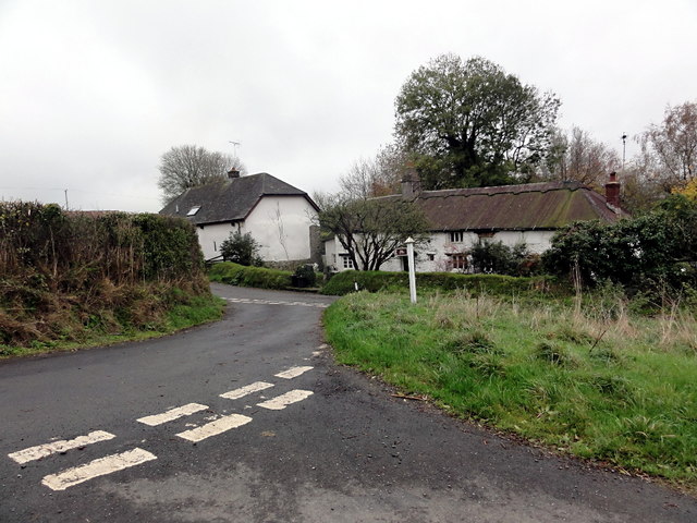
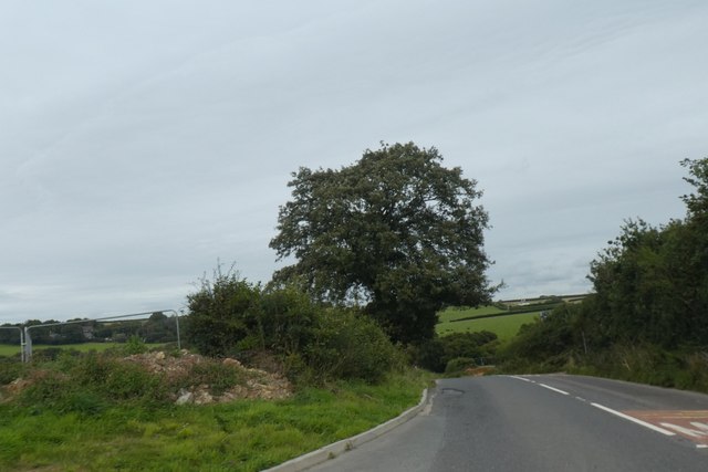
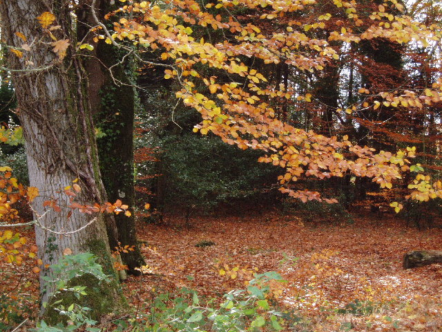
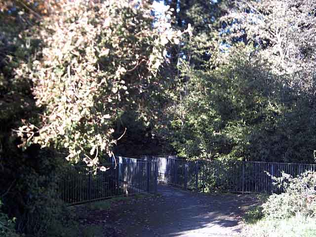
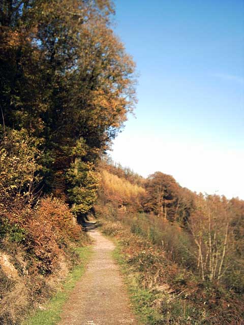
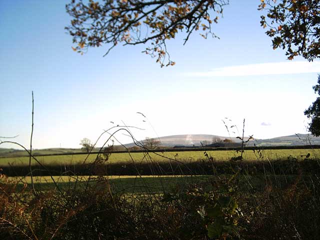
Halsbear Wood is a picturesque woodland located in Devon, England. It covers an area of approximately 100 acres and is situated near the village of Halsbear, offering a tranquil and serene setting for visitors to explore and enjoy.
The wood is primarily composed of native broadleaf trees, including oak, beech, and ash, creating a lush and diverse habitat for a variety of wildlife. Visitors can expect to find an abundance of flora and fauna, with bluebells carpeting the forest floor during the spring months and a rich array of bird species inhabiting the treetops.
Numerous walking trails wind their way through Halsbear Wood, providing visitors with the opportunity to immerse themselves in the natural beauty of the surroundings. These trails vary in difficulty, allowing both casual strollers and avid hikers to find a route suitable for their preferences.
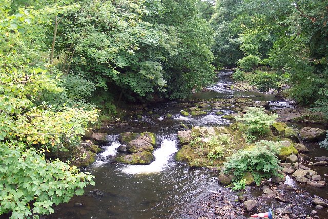
The wood is also home to a small stream, which meanders through the trees, adding to the charm and tranquility of the area. Visitors can follow the stream's course and discover hidden pockets of natural beauty along the way.
Halsbear Wood is managed by a local conservation organization, ensuring the preservation of its unique ecosystem. The organization also organizes educational programs, guided walks, and nature workshops for visitors of all ages, promoting an understanding and appreciation for the natural world.
Whether it's a leisurely stroll, birdwatching, or simply enjoying the peaceful ambiance, Halsbear Wood offers a delightful escape into nature for residents and tourists alike.
If you have any feedback on the listing, please let us know in the comments section below.
Halsbear Wood Images
Images are sourced within 2km of 50.757874/-4.0062891 or Grid Reference SX5897. Thanks to Geograph Open Source API. All images are credited.


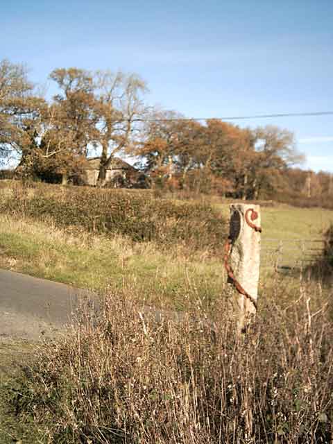
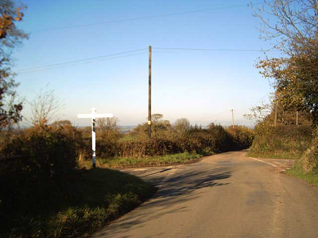
Halsbear Wood is located at Grid Ref: SX5897 (Lat: 50.757874, Lng: -4.0062891)
Administrative County: Devon
District: West Devon
Police Authority: Devon and Cornwall
What 3 Words
///soil.thickened.scaffold. Near Okehampton, Devon
Nearby Locations
Related Wikis

Brightley Priory
Brightley Priory was founded in 1133 as a Cistercian monastery. It was built in 1136 and was situated about two miles north of Okehampton in Devon and...
Folly Gate
Folly Gate is a village in the civil parish of Inwardleigh, in the West Devon district, in the county of Devon, England. It is situated near Okehampton...
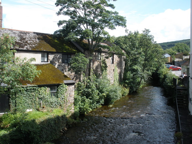
East Okement River
East Okement is a river in the Dartmoor moors in Devon in south-west England. It joins the West Okement at Okehampton to form the Okement. == References ==
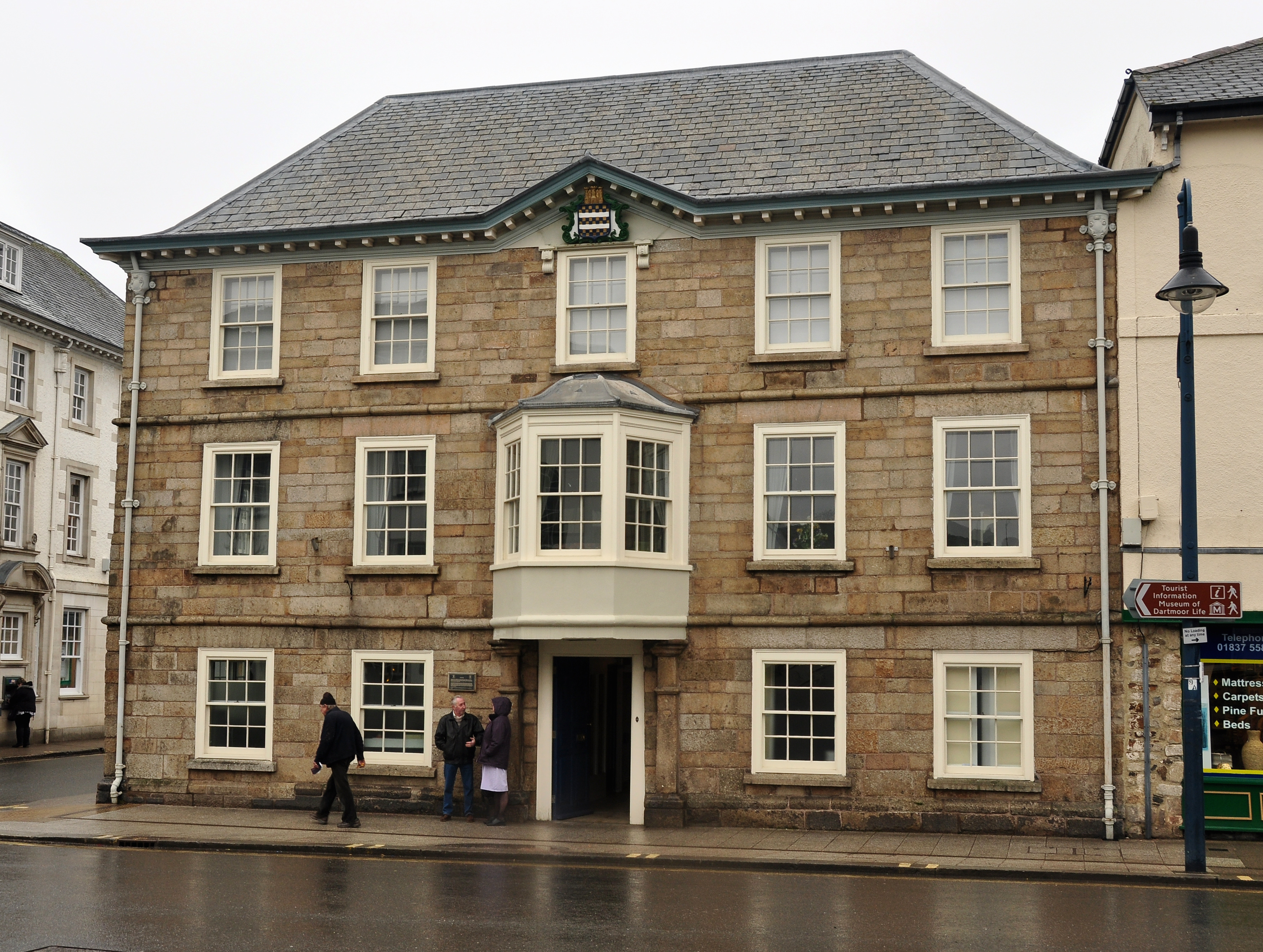
Okehampton Town Hall
Okehampton Town Hall is a municipal building in Fore Street, Okehampton, Devon, England. The town hall, which is the meeting place of Okehampton Town Council...

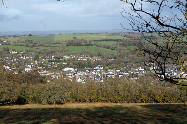
Okehampton
Okehampton ( or ) is a town and civil parish in West Devon in the English county of Devon. It is situated at the northern edge of Dartmoor, and had a population...
Museum of Dartmoor Life
The Museum of Dartmoor Life (MDL) is a local museum in Okehampton, Devon, southwest England. It covers life in the Dartmoor area. The museum opened in...

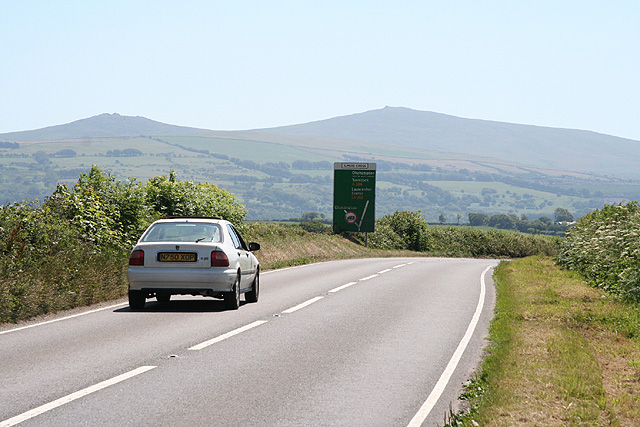
A386 road
The A386 is a primary route in Devon, England. It runs from Plymouth on the south coast to Appledore on the north coast. The road starts in the centre...
Okehampton College
Okehampton College is a co-educational secondary school and sixth form located in Okehampton in the English county of Devon. == History == Previously a...
Nearby Amenities
Located within 500m of 50.757874,-4.0062891Have you been to Halsbear Wood?
Leave your review of Halsbear Wood below (or comments, questions and feedback).