Ancrum
Settlement in Roxburghshire
Scotland
Ancrum
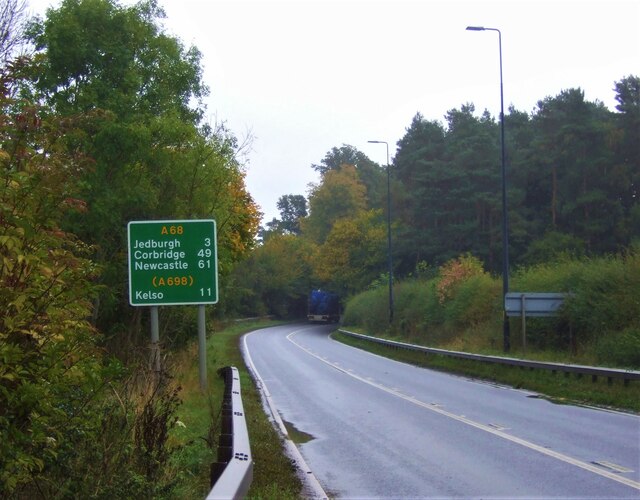
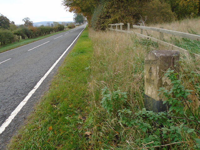
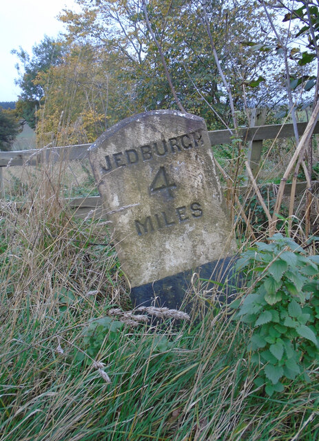
Ancrum is a small village located in the county of Roxburghshire in the Scottish Borders region of Scotland. Situated approximately 4 miles south-west of Jedburgh, it has a population of around 400 residents.
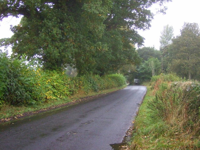
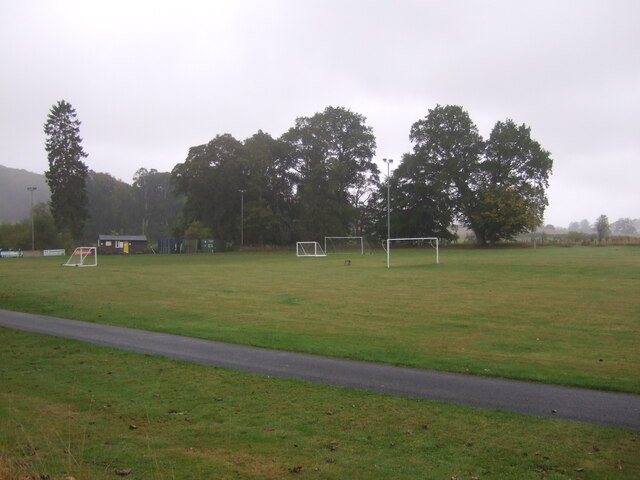
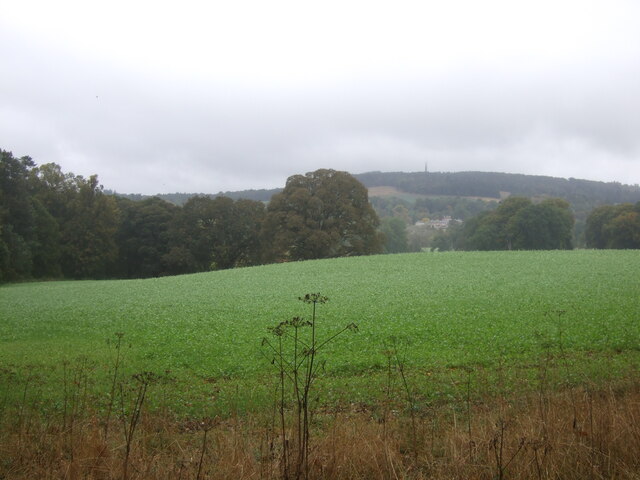
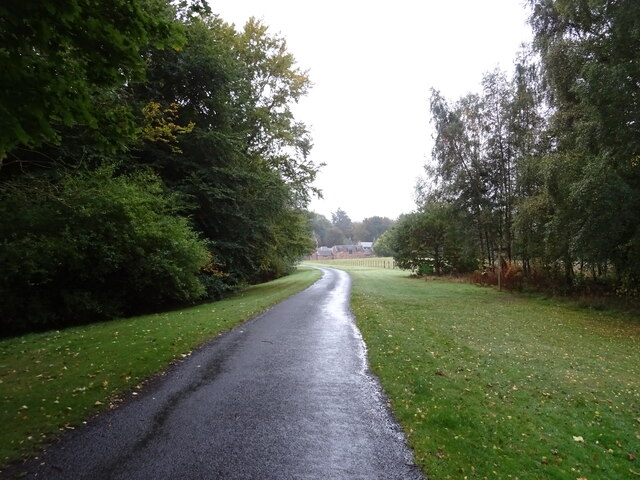
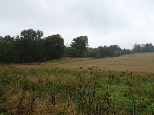
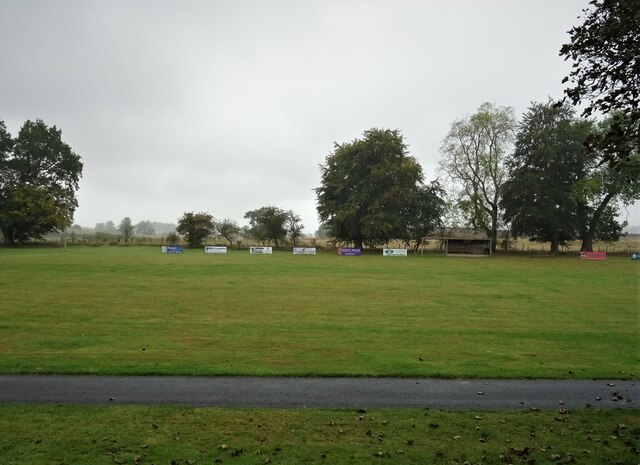
The village is nestled in a picturesque setting, surrounded by rolling hills and lush green countryside. It is known for its charming and traditional architecture, with many stone-built houses and cottages that reflect its historic past. Ancrum also boasts a beautiful village green, which serves as a focal point for community events and gatherings.
Despite its small size, Ancrum offers a range of amenities and facilities for its residents and visitors. These include a primary school, a village hall, a post office, and a local pub. The village also has a thriving community spirit, with various clubs and societies catering to different interests, such as sports, arts, and heritage.
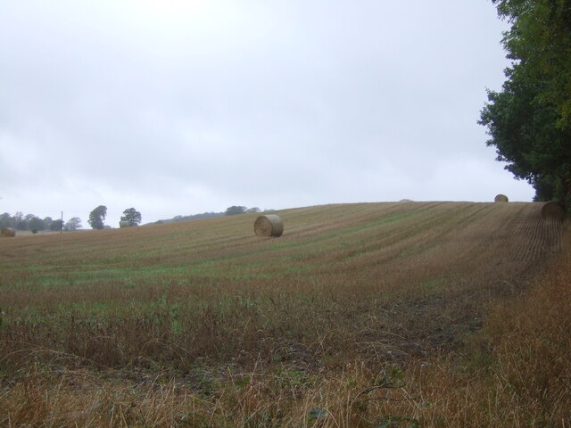
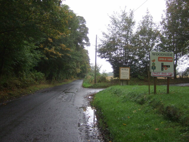
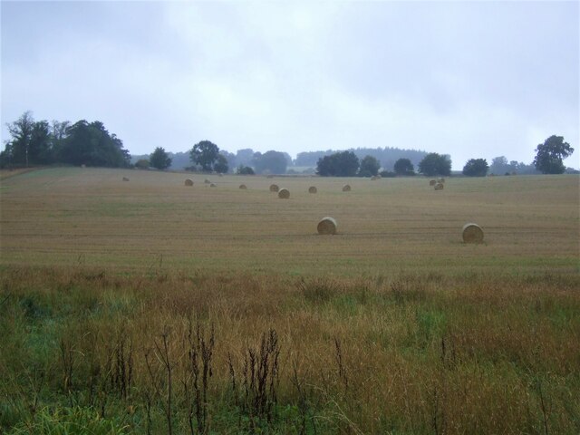
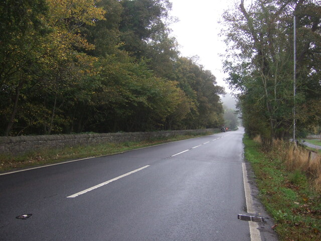
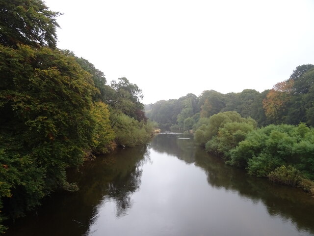
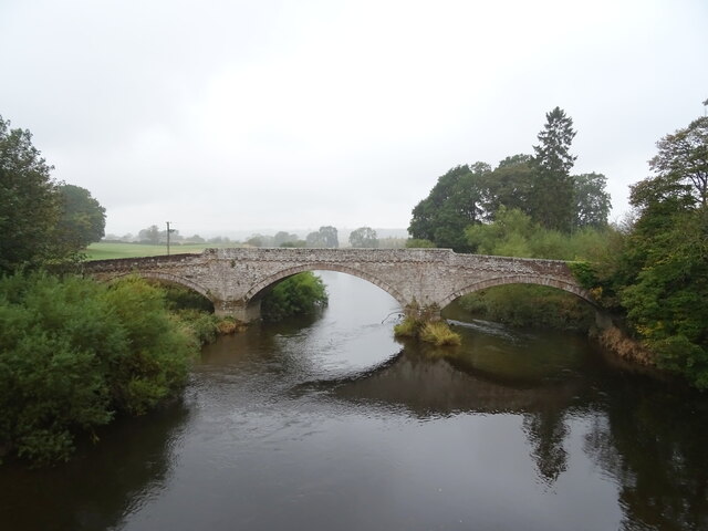
Ancrum is an ideal location for outdoor enthusiasts, as it is surrounded by stunning natural landscapes. The nearby Jed Water and Ale Water rivers provide opportunities for fishing and kayaking, while the surrounding hills offer excellent walking and cycling routes. The village is also located close to several historical sites, including the ruins of Jedburgh Abbey and the Jedburgh Castle Jail and Museum.
In summary, Ancrum is a charming and close-knit village that offers a peaceful and scenic environment. With its rich history, picturesque surroundings, and strong sense of community, it is a delightful place to live or visit in Roxburghshire.
If you have any feedback on the listing, please let us know in the comments section below.
Ancrum Images
Images are sourced within 2km of 55.513686/-2.5911033 or Grid Reference NT6224. Thanks to Geograph Open Source API. All images are credited.
Ancrum is located at Grid Ref: NT6224 (Lat: 55.513686, Lng: -2.5911033)
Unitary Authority: The Scottish Borders
Police Authority: The Lothians and Scottish Borders
What 3 Words
///crumple.mysteries.backfired. Near Jedburgh, Scottish Borders
Nearby Locations
Related Wikis

Ancrum
Ancrum (Scottish Gaelic: Alan Crom) is a village in the Borders area of Scotland, 5 km (3.1 mi) northwest of Jedburgh.The village — which currently has...
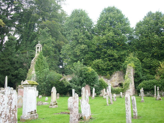
Ancrum Old Parish Church
Ancrum Old Parish Church is situated just over half a mile north west of the village of Ancrum in the Scottish Borders area of Scotland, on the B4600 road...

Ale Water
The Ale Water is a tributary of the River Teviot, in the Scottish Borders area of Scotland. It rises at Henwoodie Hill and flows through Alemoor Loch....

Timpendean Tower
Timpendean Tower (tim-pen-deen) or Typenden Castle as it was once known, is a ruined 15th-century tower house near Lanton, around 1.5 miles (2.4 km) north...

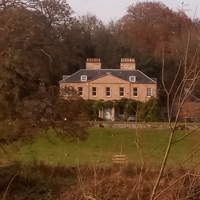
Monteviot House
Monteviot House is the early 18th century home of the Marquess of Lothian, the politician better known as Michael Ancram. It is located on the River Teviot...

Monteath Mausoleum
The Monteath Mausoleum is a large landmark in the Scottish Borders near the village of Ancrum. The listed building can be seen from the A68 road just north...

Battle of Ancrum Moor
The Battle of Ancrum Moor was fought during the War of the Rough Wooing in 1545. The Scottish victory put a temporary end to English incursions in the...
Chesters (estate)
Chesters is a 1,565-acre (633 ha) country estate near Ancrum, located on the banks of the River Teviot in the Scottish Borders area of Scotland. The estate...
Nearby Amenities
Located within 500m of 55.513686,-2.5911033Have you been to Ancrum?
Leave your review of Ancrum below (or comments, questions and feedback).