Ancroft Northmoor

Settlement in Northumberland

England

Ancroft Northmoor

West Allergen
West Allergen Credit: Richard Webb

Ancroft Northmoor is a small and charming village located in the county of Northumberland, in the northeast of England. Situated just a few miles south of the Scottish border, it is part of the administrative area of Berwick-upon-Tweed. With a population of around 250 residents, this rural community offers a peaceful and idyllic countryside setting.

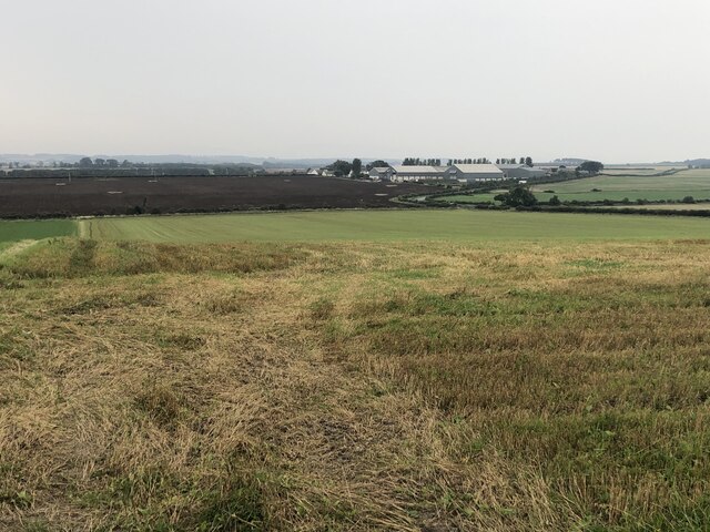
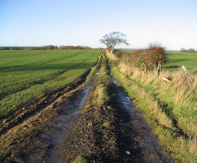
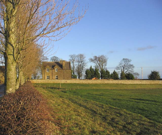
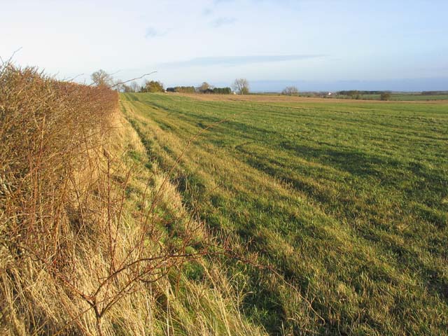
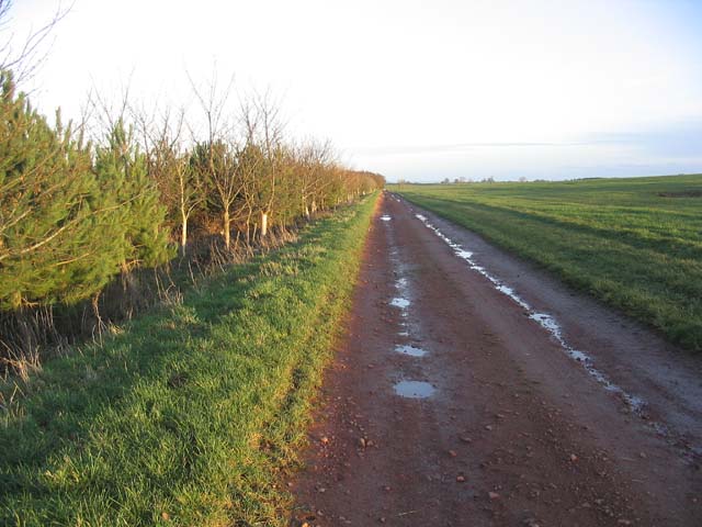
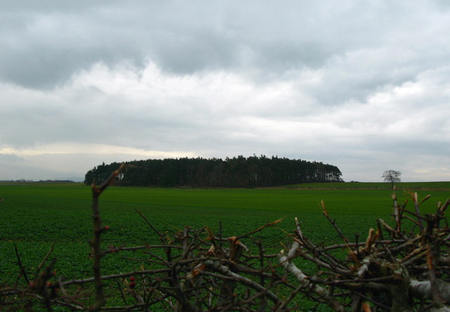
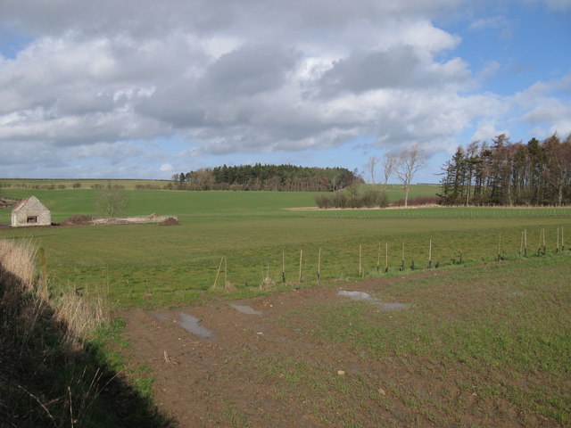
The village is surrounded by beautiful rolling hills and farmland, making it an excellent destination for nature enthusiasts and outdoor lovers. The picturesque landscape provides ample opportunities for hiking, walking, and exploring the great outdoors. Additionally, the nearby coast is easily accessible, offering stunning views and sandy beaches for those seeking a seaside experience.

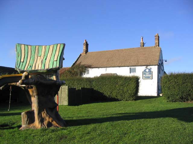
Ancroft Northmoor is known for its strong sense of community, with a local pub and village hall serving as gathering places for residents and visitors alike. The village also has a primary school, providing educational facilities for the younger population.

For amenities and services, the larger town of Berwick-upon-Tweed is just a short drive away, offering a wider range of shops, supermarkets, restaurants, and leisure activities. The village benefits from its proximity to this town while still maintaining its rural charm and tranquility.

Overall, Ancroft Northmoor is a delightful village nestled in the beautiful Northumberland countryside, offering a peaceful retreat for those seeking a slower pace of life, stunning natural scenery, and a friendly community spirit.

If you have any feedback on the listing, please let us know in the comments section below.

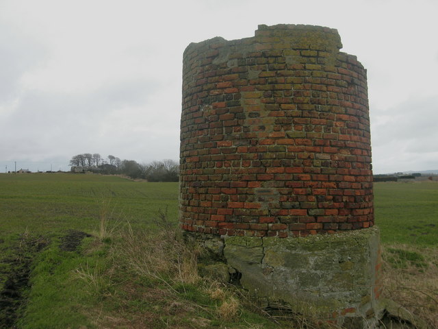
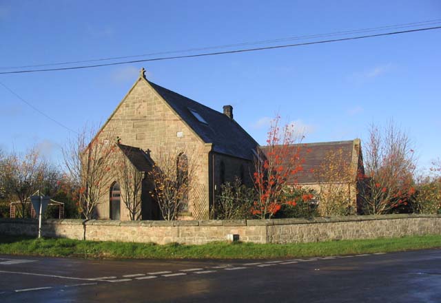
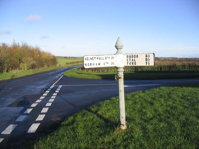
Ancroft Northmoor Images

Images are sourced within 2km of 55.69844/-2.0652039 or Grid Reference NT9645. Thanks to Geograph Open Source API. All images are credited.

West Allergen
West Allergen
Chimney Stump, Shoresdean Colliery Remains from Shoresdean Colliery, Northumberland. More information here <span class="nowrap"><a title="http://sine.newcastle.ac.uk/view_structure_information.asp?struct_id=1101" rel="nofollow ugc noopener" href="http://sine.newcastle.ac.uk/view_structure_information.asp?struct_id=1101">Link</a><img style="margin-left:2px;" alt="External link" title="External link - shift click to open in new window" src="https://s1.geograph.org.uk/img/external.png" width="10" height="10"/></span>.
Chimney Stump, Shoresdean Colliery
Remains from Shoresdean Colliery, Northumberland. More information here LinkExternal link.
Old building at Felkington This building appears to have been a cottage at one time, but is probably used as storage by the nearby Felkington Farm. Beyond the building is a row of habitable cottages.
Old building at Felkington
This building appears to have been a cottage at one time, but is probably used as storage by the nearby Felkington Farm. Beyond the building is a row of habitable cottages.
Bale stack In a field near Shoreswood.
Bale stack
In a field near Shoreswood.
A field at Shoreswood
Felkington Farm
Felkington Farm
House at West Allerdean A former church converted into a dwelling house. An inscribed stone on the gable wall reads:-

PM CHURCH
1902
House at West Allerdean
A former church converted into a dwelling house. An inscribed stone on the gable wall reads:- PM CHURCH 1902
A track through arable fields Agricultural land near Guinea Hill.
A track through arable fields
Agricultural land near Guinea Hill.
The Plough Inn at West Allerdean Viewed from the kiddies play area.
The Plough Inn at West Allerdean
Viewed from the kiddies play area.
Road junction and sign at West Allerdean Looking along the B6354, with the distances on the signpost accurate to within quarter miles.
Road junction and sign at West Allerdean
Looking along the B6354, with the distances on the signpost accurate to within quarter miles.
Ancroft Northmoor farmhouse
Grazing field Near Ancroft Northmoor Farm.
Grazing field
Near Ancroft Northmoor Farm.
Access track In agricultural land to the North of Ancroft Southmoor Farm.
Access track
In agricultural land to the North of Ancroft Southmoor Farm.
Plantation, Felkington
Cuddy Plantation, Near Ancroft A rough track leads from Langdyke to this stone barn in the middle of a field. From this point you can continue on foot to Ancroft Southmoor.
Cuddy Plantation, Near Ancroft
A rough track leads from Langdyke to this stone barn in the middle of a field. From this point you can continue on foot to Ancroft Southmoor.
Straw Bales, near Ancroft A rough track leads from Langdyke to this point.From this point you can continue on foot to Ancroft Southmoor.
Straw Bales, near Ancroft
A rough track leads from Langdyke to this point.From this point you can continue on foot to Ancroft Southmoor.
Stone Barn, near Ancroft A rough track leads from Langdyke to this stone barn in the middle of a field. From this point you can continue on foot to Ancroft Southmoor.
Stone Barn, near Ancroft
A rough track leads from Langdyke to this stone barn in the middle of a field. From this point you can continue on foot to Ancroft Southmoor.
Fields and Plantations, Duddo Taken at the very edge on NT9543. The stone ruin in the picture is in <a href="https://www.geograph.org.uk/gridref/NT9443">NT9443</a>.
Fields and Plantations, Duddo
Taken at the very edge on NT9543. The stone ruin in the picture is in NT9443.
Show me another place!

Ancroft Northmoor is located at Grid Ref: NT9645 (Lat: 55.69844, Lng: -2.0652039)

Unitary Authority: Northumberland

Police Authority: Northumbria

What 3 Words

///amplifier.legs.cove. Near Ancroft, Northumberland

Nearby Locations

Ancroft Northmoor

Related Wikis

Ancroft Northmoor

Ancroft Northmoor is a village in Northumberland, England. The population of the Civil Parish taken at the 2011 census was 895. == Governance == Ancroft...

Shoreswood

Shoreswood is a place and civil parish about 6 miles from Berwick-upon-Tweed, in the county of Northumberland, England. The parish includes the hamlets...

Duddo Five Stones

Duddo Five Stones (grid reference NT930437) is a stone circle north of Duddo in North Northumberland, approximately 4miles (6 km) South of the Scottish...

Duddo

Duddo is a village and civil parish in Northumberland, about 8 miles (13 km) southwest of Berwick-upon-Tweed. == History == Duddo Five Stones is a stone...

Duddo Tower

Duddo Tower is a Scheduled Ancient Monument and a Grade II listed building comprising the ruinous remains of an ancient pele tower and 16th century tower...

Norham and Islandshires Rural District

Norham and Islandshires was a rural district in Northumberland, England from 1894 to 1974.The district was formed under the Local Government Act 1894 from...

Ancroft

Ancroft is a village and civil parish (which includes the village of Scremerston) in Northumberland, England. Prior to 1844, Ancroft lay within the Islandshire...

Velvet Hall railway station

Velvet Hall railway station was a railway station which served the village of Horncliffe in Northumberland, England. == History == The station opened on...

Have you been to Ancroft Northmoor?

Leave your review of Ancroft Northmoor below (or comments, questions and feedback).