Ancroft

Settlement in Northumberland

England

Ancroft

Old Milestone by B6525, 400m South of Berrington Lodge The Milestone is located on grass verge by wide gate on the East of the road.  Parish of Kyloe (Berwick upon Tweed District). Cast iron post, WR/BER MOR top iron post design, erected by the Deanburn Bridge, Berwick, Cornhill turnpike trust in the 19th Century. An earlier photograph can be found here: <a title="https://www.geograph.org.uk/photo/5361832" href="https://www.geograph.org.uk/photo/5361832">Link</a> 

Inscription reads:-  
WR / 10  : : BER / 6 : : MOR / 41  

Grade II listed. List Entry Number: 1042273 <span class="nowrap"><a title="https://historicengland.org.uk/listing/the-list/list-entry/1042273" rel="nofollow ugc noopener" href="https://historicengland.org.uk/listing/the-list/list-entry/1042273">Link</a><img style="margin-left:2px;" alt="External link" title="External link - shift click to open in new window" src="https://s1.geograph.org.uk/img/external.png" width="10" height="10"/></span> 

Milestone Society National ID: NB_BWWL06
Old Milestone by B6525, 400m South of Berrington Lodge Credit: Hilary Jones

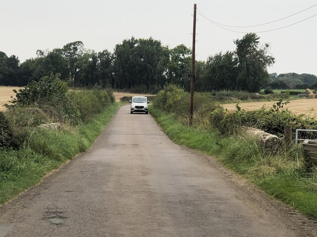
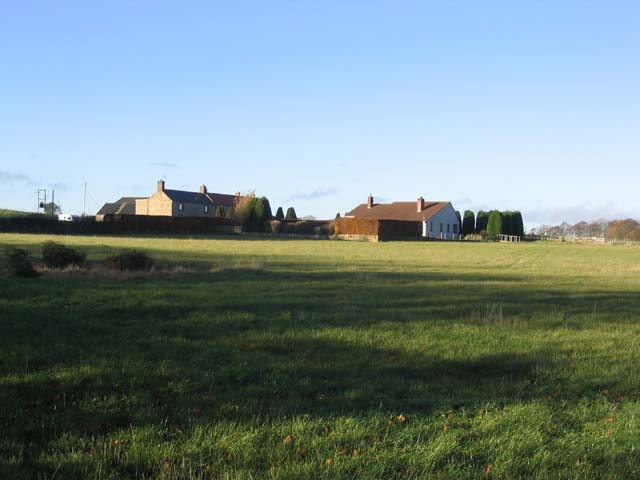
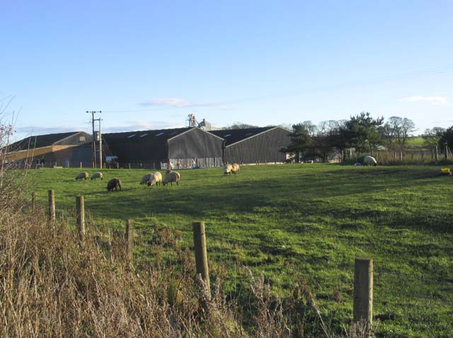
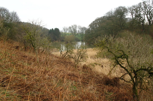
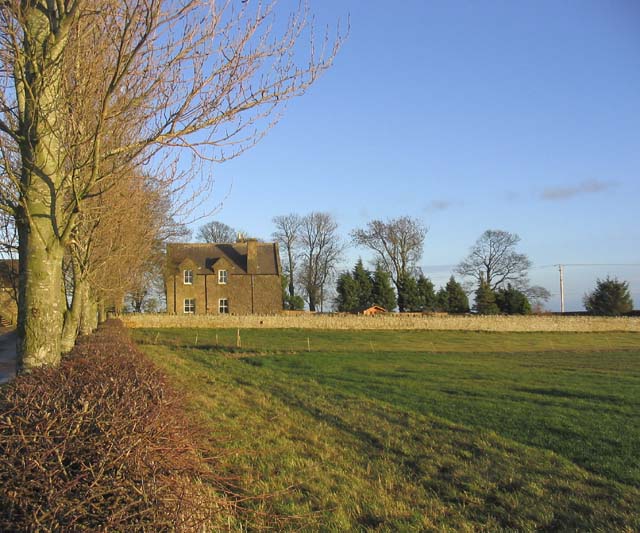
Ancroft is a small village located in the county of Northumberland, in the northeast region of England. Situated approximately 7 miles south of Berwick-upon-Tweed, Ancroft is nestled amongst the picturesque countryside, surrounded by rolling hills and farmland.

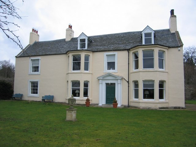
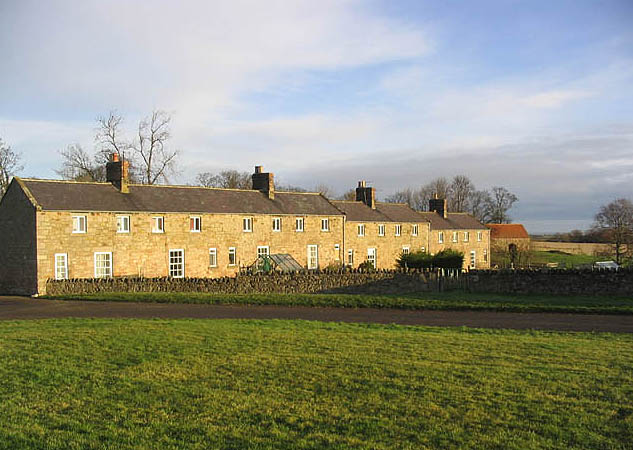
The village itself is home to a close-knit community, with a population of around 400 residents. Its history dates back to the medieval times, and evidence of this can be seen in the ancient architecture that still stands today. The village is dotted with charming stone houses and traditional buildings, which add to its rustic charm.

Ancroft is well-connected to the surrounding areas, with good road links to Berwick-upon-Tweed and other nearby towns. The village is also served by public transportation, making it easily accessible for both residents and visitors.

Despite its small size, Ancroft has a range of amenities to offer its residents. These include a primary school, a village hall, a post office, and a local pub. The village is also surrounded by beautiful natural landscapes, making it an ideal location for those who enjoy outdoor activities such as walking, cycling, and fishing.

Overall, Ancroft is a peaceful and idyllic village that provides a sense of community and a tranquil rural lifestyle. Its rich history, beautiful surroundings, and close-knit community make it a desirable place to live or visit in Northumberland.

If you have any feedback on the listing, please let us know in the comments section below.
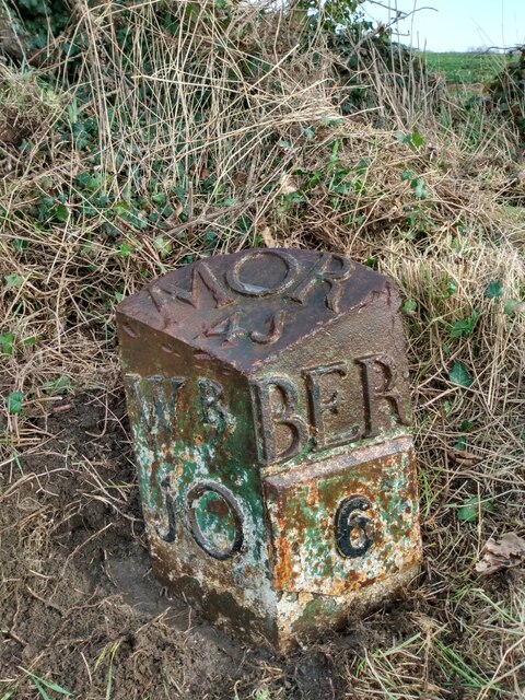
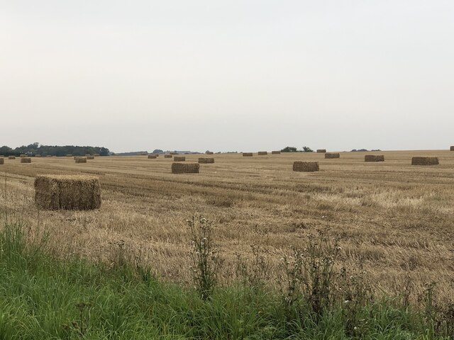
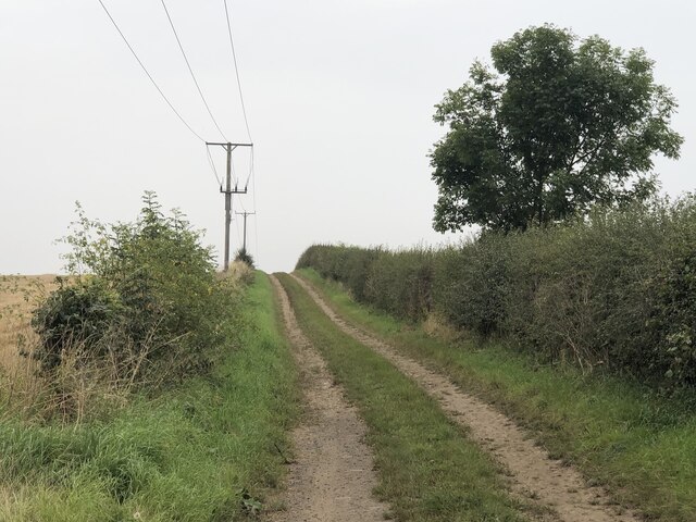
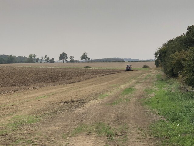
Ancroft Images

Images are sourced within 2km of 55.699977/-2.001222 or Grid Reference NU0045. Thanks to Geograph Open Source API. All images are credited.

Old Milestone by B6525, 400m South of Berrington Lodge The Milestone is located on grass verge by wide gate on the East of the road.  Parish of Kyloe (Berwick upon Tweed District). Cast iron post, WR/BER MOR top iron post design, erected by the Deanburn Bridge, Berwick, Cornhill turnpike trust in the 19th Century. An earlier photograph can be found here: <a title="https://www.geograph.org.uk/photo/5361832" href="https://www.geograph.org.uk/photo/5361832">Link</a> 

Inscription reads:-  
WR / 10  : : BER / 6 : : MOR / 41  

Grade II listed. List Entry Number: 1042273 <span class="nowrap"><a title="https://historicengland.org.uk/listing/the-list/list-entry/1042273" rel="nofollow ugc noopener" href="https://historicengland.org.uk/listing/the-list/list-entry/1042273">Link</a><img style="margin-left:2px;" alt="External link" title="External link - shift click to open in new window" src="https://s1.geograph.org.uk/img/external.png" width="10" height="10"/></span> 

Milestone Society National ID: NB_BWWL06
Old Milestone by B6525, 400m South of Berrington Lodge
The Milestone is located on grass verge by wide gate on the East of the road.  Parish of Kyloe (Berwick upon Tweed District). Cast iron post, WR/BER MOR top iron post design, erected by the Deanburn Bridge, Berwick, Cornhill turnpike trust in the 19th Century. An earlier photograph can be found here: Link  Inscription reads:- WR / 10 : : BER / 6 : : MOR / 41 Grade II listed. List Entry Number: 1042273 LinkExternal link Milestone Society National ID: NB_BWWL06
Big square bales, Ancroft
Road, Ancroft Used to run through to another green lane to the north, but maps suggest the middle part, a field's worth, is missing.
Road, Ancroft
Used to run through to another green lane to the north, but maps suggest the middle part, a field's worth, is missing.
Ground work by Jingling Bridge Stubble does not stay around for long.  Preparation for next year's winter cereals.
Ground work by Jingling Bridge
Stubble does not stay around for long. Preparation for next year's winter cereals.
Jingling Bridge
Jingling Bridge
Burn near Allerdean
Burn near Allerdean
Houses at Allerdean Greens
Town Farm at Ancroft On the West side of the village of Ancroft.
Town Farm at Ancroft
On the West side of the village of Ancroft.
Road junction Where a minor road from Berrington joins the B6525. An awkward spot for a postbox.
Road junction
Where a minor road from Berrington joins the B6525. An awkward spot for a postbox.
Farmland near Berrington Lodge
Dean Burn, Haydon Dean
Row of Trees, South of Ancroft Suggestions as to how medieval village of Ancroft got its name include an abridged version of "Aidan's-croft" - the croft of St Aidan who was the first Bishop of Lindisfarne (Holy Island). As the church is dedicated to Saint Anne, it is possible that the village took its name from the church - "St Anne's croft" and a third suggestion is simply that it means one croft or solitary croft - "ane croft".
Row of Trees, South of Ancroft
Suggestions as to how medieval village of Ancroft got its name include an abridged version of "Aidan's-croft" - the croft of St Aidan who was the first Bishop of Lindisfarne (Holy Island). As the church is dedicated to Saint Anne, it is possible that the village took its name from the church - "St Anne's croft" and a third suggestion is simply that it means one croft or solitary croft - "ane croft".
Ploughed Field, Ancroft A misty day in this rural Northumbrian village.
Ploughed Field, Ancroft
A misty day in this rural Northumbrian village.
Lichen, Haydon Dean near Ancroft A number of trees were covered in lichen in this river valley.
Lichen, Haydon Dean near Ancroft
A number of trees were covered in lichen in this river valley.
Haydon Dean, Ancroft Dean Burn flows through Haydon Dean, and through a bed of bulrushes, before entering into this small lake.
Haydon Dean, Ancroft
Dean Burn flows through Haydon Dean, and through a bed of bulrushes, before entering into this small lake.
Allerdean Grange
Allerdean Grange
Farmland and Ancroft North Farm
Oxford Ponds with Swans These ponds of which this is the biggest were formerly Quarries. The old quarry to the east of this one is a closed landfill site.
Oxford Ponds with Swans
These ponds of which this is the biggest were formerly Quarries. The old quarry to the east of this one is a closed landfill site.
Show me another place!

Ancroft is located at Grid Ref: NU0045 (Lat: 55.699977, Lng: -2.001222)

Unitary Authority: Northumberland

Police Authority: Northumbria

What 3 Words

///goad.relieves.droplet. Near Ancroft, Northumberland

Nearby Locations

Ancroft

Related Wikis

Nearby Amenities

Located within 500m of 55.699977,-2.001222
Ancroft
Place: village
Lat/Long: 55.6996469/-2.0017004
Post Box
Post Box Type: lamp
Ref: TD15 32
Source: survey
Lat/Long: 55.6999133/-2.002143
The data included in this document is from www.openstreetmap.org. The data is made available under ODbL.

Have you been to Ancroft?

Leave your review of Ancroft below (or comments, questions and feedback).