Castle Hill

Hill, Mountain in Roxburghshire

Scotland

Castle Hill

Stubble field and bales, Teviotdale Off the B6400.
Stubble field and bales, Teviotdale Credit: JThomas

Castle Hill is a prominent hill located in Roxburghshire, Scotland. It is situated near the town of Jedburgh and stands at an elevation of 290 meters (950 feet). It is a distinctive landmark in the region, visible from miles around, and offers breathtaking panoramic views of the surrounding countryside.

The hill takes its name from the remnants of an ancient castle that once stood atop it. The castle was built in the 12th century and played a significant role in the region's history, witnessing numerous conflicts and sieges. Sadly, only a few ruins and earthworks remain today, but they serve as a reminder of the castle's former grandeur.

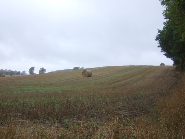
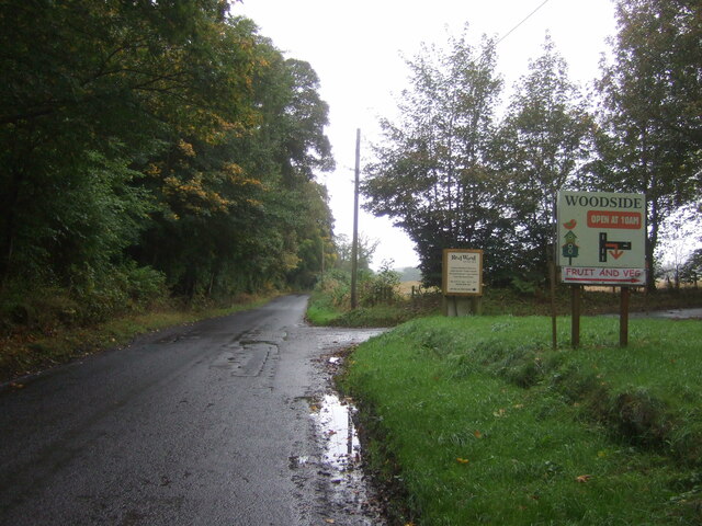
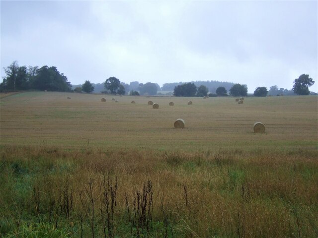
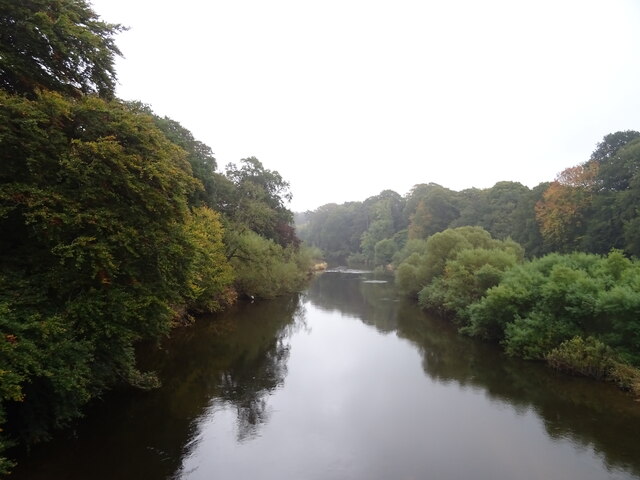
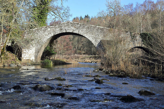
Castle Hill is a popular destination for locals and tourists alike, attracting hikers, nature enthusiasts, and history buffs. Several well-maintained trails lead to the summit, offering a pleasant and rewarding climb. Along the way, visitors can enjoy the picturesque scenery, including lush green fields, rolling hills, and the meandering Jed Water.

At the top, the summit provides a stunning viewpoint, allowing visitors to appreciate the vastness of the surrounding landscape. On a clear day, one can see as far as the Cheviot Hills to the south and the Eildon Hills to the north. It is an ideal spot for picnicking, photography, or simply taking a moment to soak in the tranquility and beauty of the Scottish countryside.

In conclusion, Castle Hill in Roxburghshire is a historically significant and visually captivating hill that offers an enjoyable hiking experience and breathtaking views. It is a must-visit destination for anyone exploring the area's natural and cultural heritage.

If you have any feedback on the listing, please let us know in the comments section below.
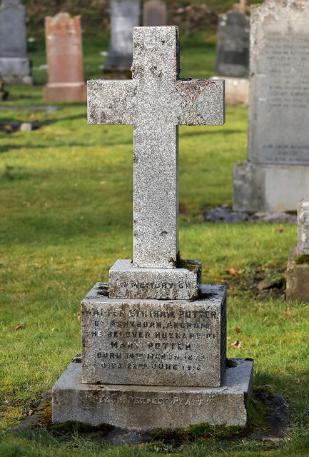
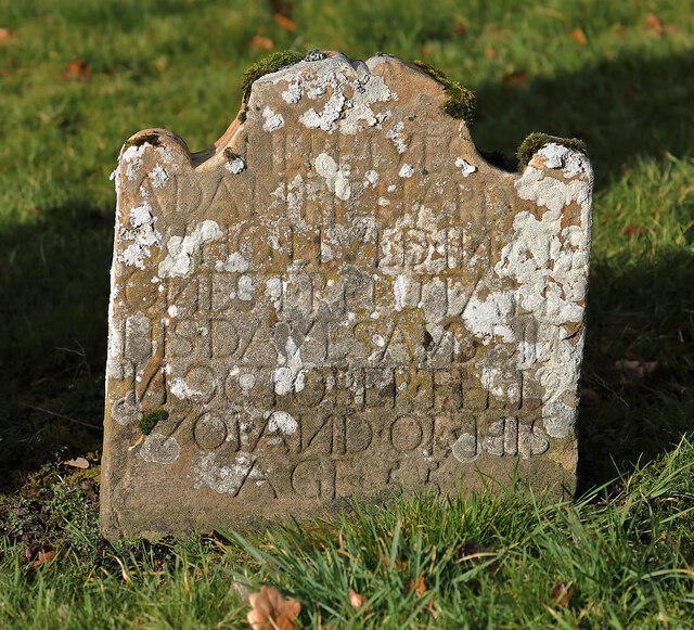
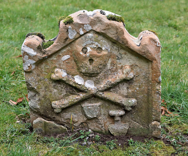
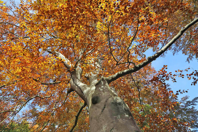
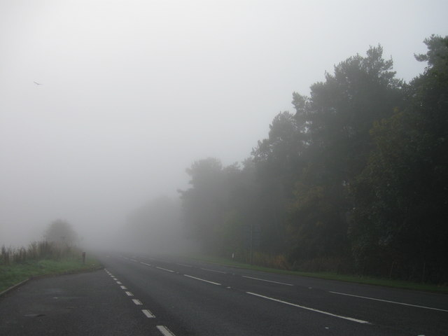
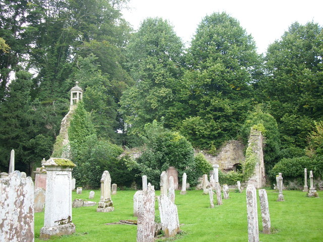
Castle Hill Images

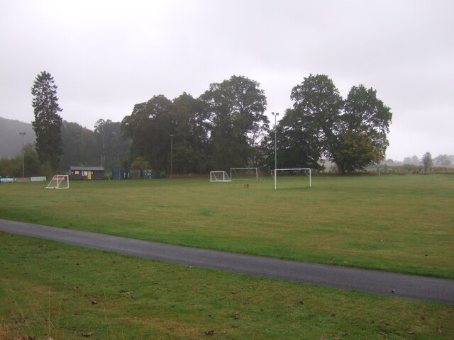
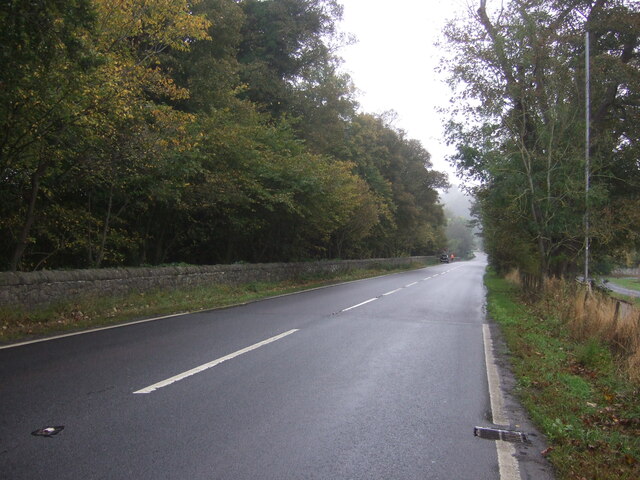
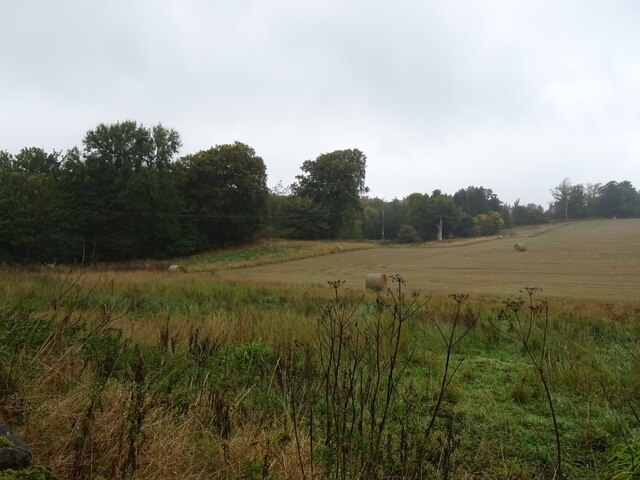
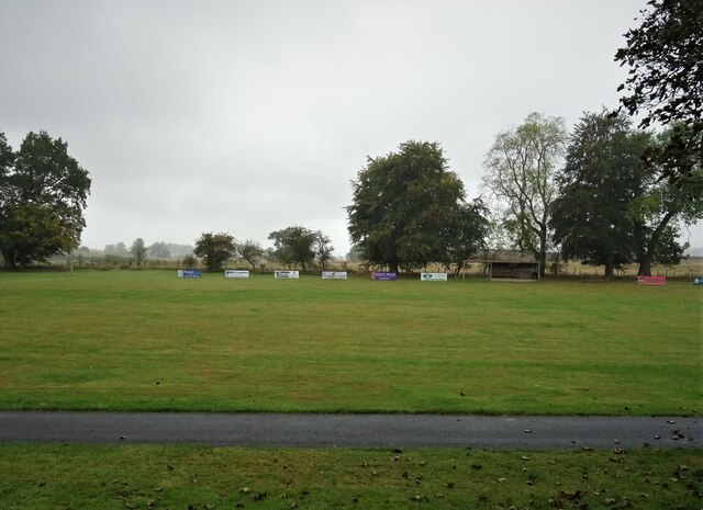
Images are sourced within 2km of 55.516904/-2.5944615 or Grid Reference NT6224. Thanks to Geograph Open Source API. All images are credited.

Stubble field and bales, Teviotdale Off the B6400.
Stubble field and bales, Teviotdale
Off the B6400.
B6400, Woodside Towards the A68.
B6400, Woodside
Towards the A68.
Stubble field and bales off the B6400
B6400 towards Monteviot Toll and the A68
Sports fields, Ancrum
A68, Ancrum Towards Ancrum Bridge.
A68, Ancrum
Towards Ancrum Bridge.
Stubble field and woodland, Monteviot
Sports field, Ancrum
The River Teviot, Ancrum From the bridge on the A68.
The River Teviot, Ancrum
From the bridge on the A68.
Ancrum Bridge The old bridge from the newer one on the A68.
Ancrum Bridge
The old bridge from the newer one on the A68.
Snowdrops at Ancrum Old Parish Churchyard
The Ale Water at Ancrum This is an upstream view towards the old packhorse bridge.
The Ale Water at Ancrum
This is an upstream view towards the old packhorse bridge.
The grave of Walter Bertram Potter, brother of Beatrix Potter The inscription on the gravestone at Ancrum Old Parish Kirkyard reads:

IN MEMORY OF
WALTER BERTRAM POTTER
OF ASHYBURN, ANCRUM,
THE BELOVED HUSBAND OF
MARY POTTER,
BORN 14TH MARCH 1872
DIED 22ND JUNE 1918
“PEACE, PERFECT PEACE.”

A side inscription reads:

WALTER BERTRAM POTTER
OF ASHYBURN
WAS THE BROTHER OF
BEATRIX POTTER
THE FAMOUS WRITER OF
BOOKS FOR CHILDREN
The grave of Walter Bertram Potter, brother of Beatrix Potter
The inscription on the gravestone at Ancrum Old Parish Kirkyard reads: IN MEMORY OF WALTER BERTRAM POTTER OF ASHYBURN, ANCRUM, THE BELOVED HUSBAND OF MARY POTTER, BORN 14TH MARCH 1872 DIED 22ND JUNE 1918 “PEACE, PERFECT PEACE.” A side inscription reads: WALTER BERTRAM POTTER OF ASHYBURN WAS THE BROTHER OF BEATRIX POTTER THE FAMOUS WRITER OF BOOKS FOR CHILDREN
An 18th century gravestone at Ancrum Old Parish Kirkyard The inscription reads:

HERE LYES
ADAM RICHARDSON
WHO LIVED IN AN
ONEST REPUT ALL
HIS DAYS AND DIED
IN OCTOBER THE 19
1701 AND OF HIS 
AGE 55

In the 18th century the letter N was often reversed, as in this case.
An 18th century gravestone at Ancrum Old Parish Kirkyard
The inscription reads: HERE LYES ADAM RICHARDSON WHO LIVED IN AN ONEST REPUT ALL HIS DAYS AND DIED IN OCTOBER THE 19 1701 AND OF HIS AGE 55 In the 18th century the letter N was often reversed, as in this case.
An 18th century symbolic gravestone at Ancrum Old Parish Kirkyard All the carvings on this stone are symbols of mortality with the skull and crossed femur bones, and the remains of an upright hourglass with the sexton’s tools of turf cutter and spade either side. For details of the inscription on the reverse, see <a href="https://www.geograph.org.uk/photo/7410191">NT6224 : An 18th century gravestone at Ancrum Old Parish Kirkyard</a>.
An 18th century symbolic gravestone at Ancrum Old Parish Kirkyard
All the carvings on this stone are symbols of mortality with the skull and crossed femur bones, and the remains of an upright hourglass with the sexton’s tools of turf cutter and spade either side. For details of the inscription on the reverse, see NT6224 : An 18th century gravestone at Ancrum Old Parish Kirkyard.
The old packhorse bridge at Ancrum This early 19th century bridge on the east side of Ancrum Old Parish Kirk spans the Ale Water.
The old packhorse bridge at Ancrum
This early 19th century bridge on the east side of Ancrum Old Parish Kirk spans the Ale Water.
A beech tree on the Monteviot Estate The tree in autumn colours was viewed on a path route from Harestanes Visitor Centre.
A beech tree on the Monteviot Estate
The tree in autumn colours was viewed on a path route from Harestanes Visitor Centre.
A68 lay-by
A68 lay-by
Show me another place!

Castle Hill is located at Grid Ref: NT6224 (Lat: 55.516904, Lng: -2.5944615)

Unitary Authority: The Scottish Borders

Police Authority: The Lothians and Scottish Borders

What 3 Words

///piled.mocking.someone. Near Jedburgh, Scottish Borders

Related Wikis

Ancrum Old Parish Church

Ancrum Old Parish Church is situated just over half a mile north west of the village of Ancrum in the Scottish Borders area of Scotland, on the B4600 road...

Ancrum

Ancrum (Scottish Gaelic: Alan Crom) is a village in the Borders area of Scotland, 5 km (3.1 mi) northwest of Jedburgh.The village — which currently has...

Ale Water

The Ale Water is a tributary of the River Teviot, in the Scottish Borders area of Scotland. It rises at Henwoodie Hill and flows through Alemoor Loch....

Monteath Mausoleum

The Monteath Mausoleum is a large landmark in the Scottish Borders near the village of Ancrum. The listed building can be seen from the A68 road just north...

Nearby Amenities

Located within 500m of 55.516904,-2.5944615
Post Box
Collection Times: Mo-Fr 15:30, Sa 12:00
Post Box Type: lamp
Ref: TD8 165
Royal Cypher: scottish_crown
Lat/Long: 55.5137825/-2.5891206
Ancrum
Name Gd: Alan Crom
Place: village
Population: 392
Wikidata: Q3997506
Wikipedia: en:Ancrum
Lat/Long: 55.5135076/-2.5897291
Pub
Cross Keys
Addr Postcode: TD8 6XH
Addr Street: The Green
Fhrs Id: 428240
Source Addr: FHRS Open Data
Survey Date: 2021-08-22
Lat/Long: 55.5138159/-2.5901083
Noexit: yes
Lat/Long: 55.5145019/-2.588534
Ancrum House (site of)
Historic: archaeological_site
Lat/Long: 55.5178128/-2.5878934
Broad Law
Natural: peak
Lat/Long: 55.5191346/-2.5961257
Castle Hill
Natural: peak
Lat/Long: 55.5162711/-2.5973676
Historic: memorial
Memorial: war_memorial
Lat/Long: 55.5135198/-2.5897128
Ancrum Market Cross
Heritage Operator: Historic Environment Scotland
Heritage Website: https://portal.historicenvironment.scot/designation/SM1722
Historic: market_cross
Ref GB Hs: SM1722
Lat/Long: 55.5134862/-2.5901987
Bench
Lat/Long: 55.5134862/-2.5900659
Waste Basket
Survey Date: 2021-08-22
Waste: trash
Lat/Long: 55.5134812/-2.5900566
Bench
Survey Date: 2021-08-22
Lat/Long: 55.5149379/-2.5879238
Ancrum Pantry
Shop: grocery
Survey Date: 2021-08-22
Lat/Long: 55.5138162/-2.5891532
Bench
Lat/Long: 55.5137111/-2.5891405
Give Way
Direction: backward
Lat/Long: 55.5136167/-2.5910096
Give Way
Direction: forward
Lat/Long: 55.5135467/-2.5898201
Power: pole
Lat/Long: 55.5211344/-2.5919113
Power: pole
Lat/Long: 55.5205396/-2.5918675
Power: pole
Lat/Long: 55.519923/-2.5918108
Power: pole
Lat/Long: 55.5192918/-2.5918417
Power: pole
Lat/Long: 55.5182305/-2.592107
Power: pole
Lat/Long: 55.5175395/-2.5923284
Power: pole
Lat/Long: 55.5164053/-2.5938785
Power: pole
Lat/Long: 55.519458/-2.591077
Bench
Lat/Long: 55.513514/-2.5899397
Bench
Lat/Long: 55.5134634/-2.5906685
Information: board
Tourism: information
Lat/Long: 55.5139155/-2.5930452
The data included in this document is from www.openstreetmap.org. The data is made available under ODbL.

Have you been to Castle Hill?

Leave your review of Castle Hill below (or comments, questions and feedback).