Chetton

Settlement in Shropshire

England

Chetton

Public footpath from Oldfield The path through the rape field in the reverse direction to <a href="https://www.geograph.org.uk/photo/396805">SO6788 : Public footpath to Oldfield, Shropshire</a>
Public footpath from Oldfield Credit: John M

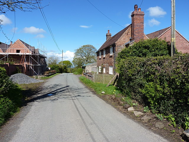
Chetton is a small rural village located in the county of Shropshire, England. Situated approximately 9 miles south of the town of Bridgnorth, Chetton is nestled amidst scenic countryside and offers a peaceful and picturesque setting.

The village has a rich history dating back to the medieval period, with evidence of human habitation in the area from as early as the 11th century. Chetton is home to several historic buildings, including St. Giles Church, which dates back to the 12th century and features beautiful architectural details.

Despite its small size, Chetton offers a range of amenities for its residents. These include a village hall, a primary school, and a local pub, providing a sense of community and a focal point for social gatherings. The village also boasts a cricket club, offering recreational activities for sports enthusiasts.

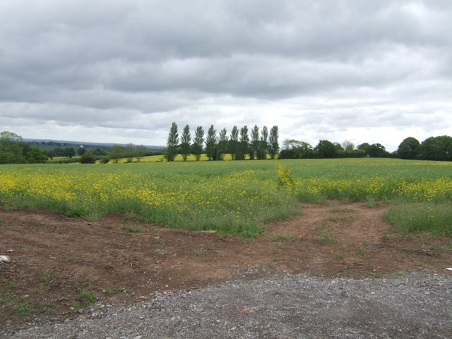
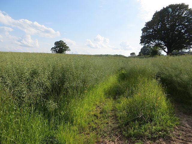
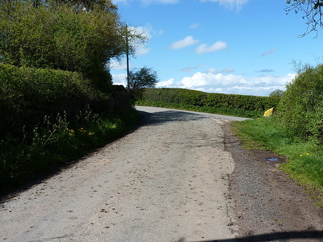
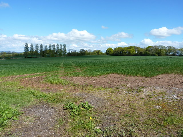
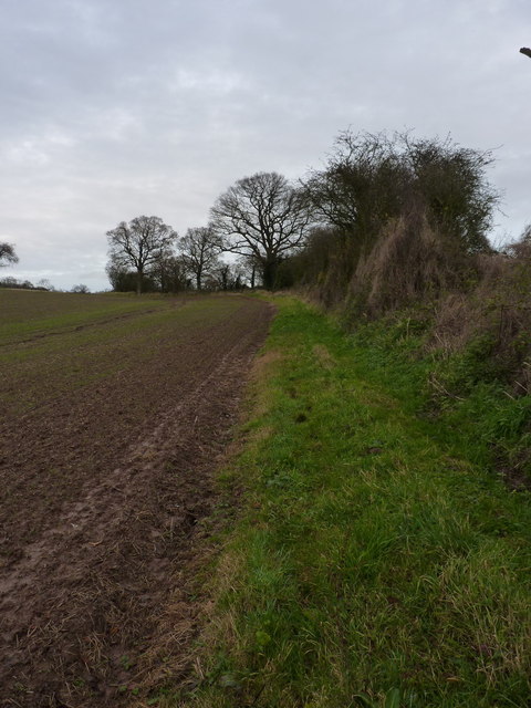
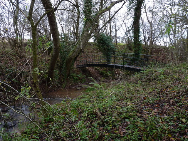
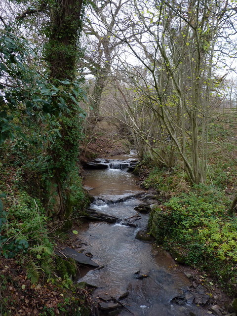
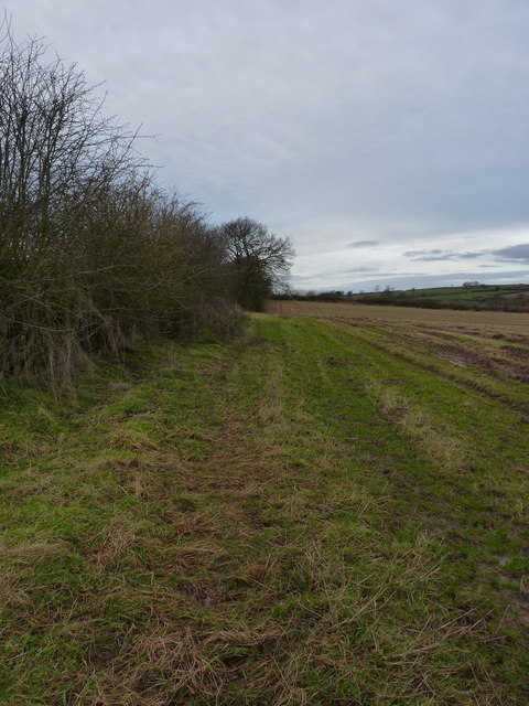
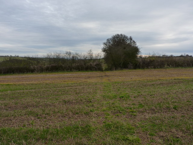
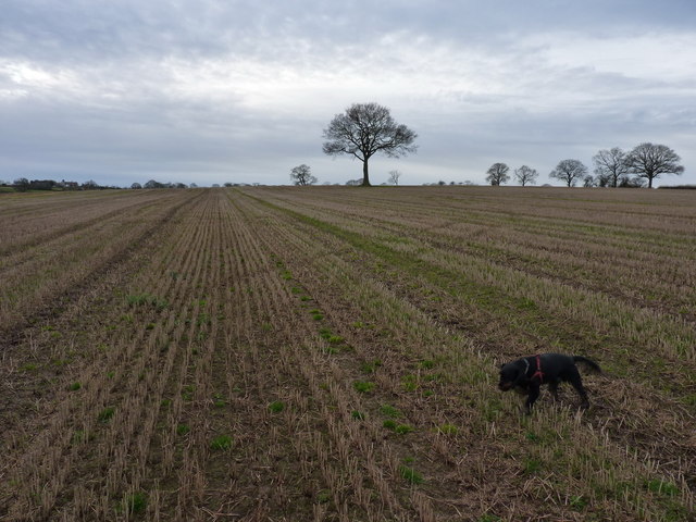
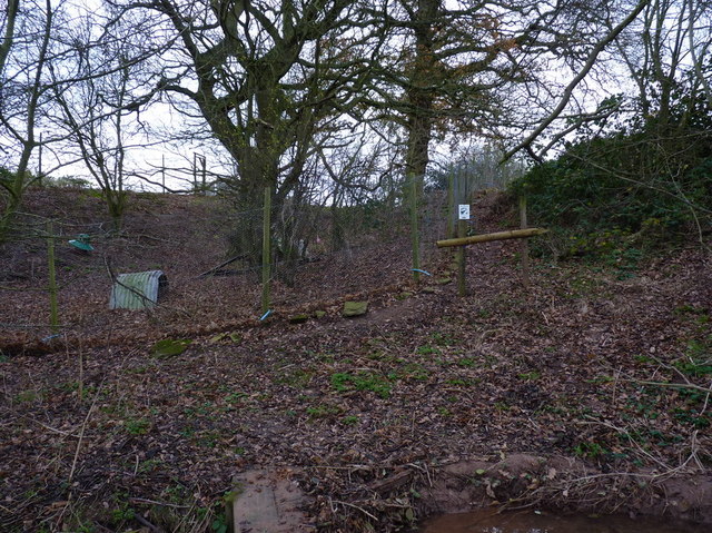
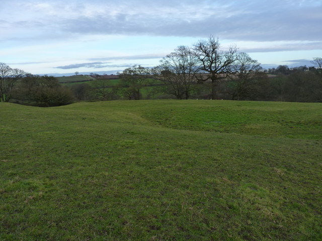
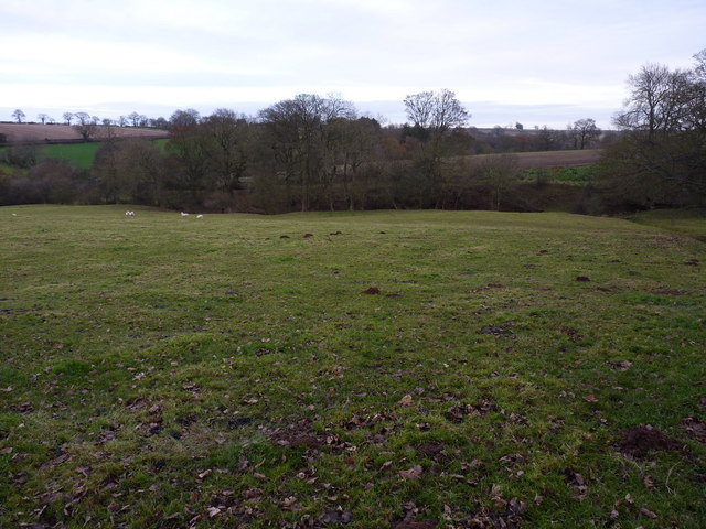
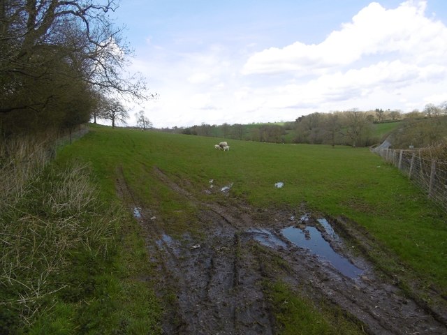
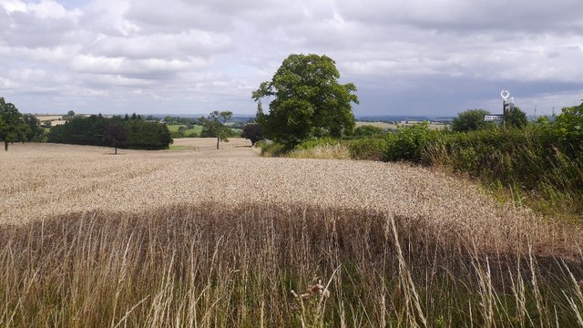
The surrounding countryside provides ample opportunities for outdoor activities such as hiking, cycling, and horse riding. The area is characterized by rolling hills, meandering streams, and lush green fields, making it a popular destination for nature lovers and those seeking tranquility.

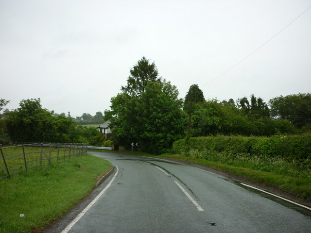
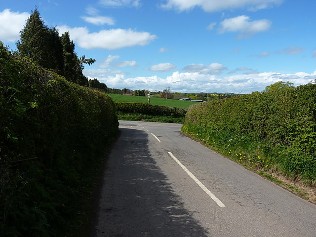
Chetton benefits from its proximity to larger towns and cities, with Bridgnorth offering a wider range of amenities including shops, supermarkets, and leisure facilities. The village is well-connected by road, with the A4117 passing nearby, providing easy access to surrounding areas.

In summary, Chetton is a charming village in Shropshire, offering a delightful mix of history, natural beauty, and community spirit. Its idyllic setting and range of amenities make it an attractive place to live or visit for those seeking a peaceful rural lifestyle.

If you have any feedback on the listing, please let us know in the comments section below.

Chetton Images

Images are sourced within 2km of 52.510435/-2.499412 or Grid Reference SO6690. Thanks to Geograph Open Source API. All images are credited.

Public footpath from Oldfield The path through the rape field in the reverse direction to <a href="https://www.geograph.org.uk/photo/396805">SO6788 : Public footpath to Oldfield, Shropshire</a>
Public footpath from Oldfield
The path through the rape field in the reverse direction to SO6788 : Public footpath to Oldfield, Shropshire
The B4364 at Lower Faintree
Oilseed rape, Cockshut
Junction at Upper Cockshutt The junction of the lane from Oldfield and Middleton Scriven, with the B4364 Ludlow Road. The pre-Worboys milepost stands above the hedgerow on the other side of the main road.
Junction at Upper Cockshutt
The junction of the lane from Oldfield and Middleton Scriven, with the B4364 Ludlow Road. The pre-Worboys milepost stands above the hedgerow on the other side of the main road.
Junction of lanes above Oldfield The main part of the lane goes round the bend to join the B4364 at <a href="https://www.geograph.org.uk/photo/4480628">SO6789 : Junction at Upper Cockshutt</a> whilst the right turn drops down to Middleton Scriven and Deuxhill.
Junction of lanes above Oldfield
The main part of the lane goes round the bend to join the B4364 at SO6789 : Junction at Upper Cockshutt whilst the right turn drops down to Middleton Scriven and Deuxhill.
Footpath to Eudon George Running north-east across this field, the path turns due east after about 500 yards and makes for the settlement of Eudon George in <a href="https://www.geograph.org.uk/gridref/SO6888">SO6888</a>
Footpath to Eudon George
Running north-east across this field, the path turns due east after about 500 yards and makes for the settlement of Eudon George in SO6888
Oldfields Farm Barn conversion or rebuilding work appears to be in progress, although the farmhouse is unchanged in 7 years <a href="https://www.geograph.org.uk/photo/1038593">SO6788 : The lane through Oldfield</a>
Oldfields Farm
Barn conversion or rebuilding work appears to be in progress, although the farmhouse is unchanged in 7 years SO6788 : The lane through Oldfield
A footpath diversion south of Meadowley The true right of way runs through the crop about 100 yards to the west (left) of here, and is marked by three or four oaks on the line of an old hedge, but the field margin appears to have been left unploughed as an easier alternative.
A footpath diversion south of Meadowley
The true right of way runs through the crop about 100 yards to the west (left) of here, and is marked by three or four oaks on the line of an old hedge, but the field margin appears to have been left unploughed as an easier alternative.
A proper footbridge A really rather substantial steel bridge over a small tributary of the Borle Brook.
A proper footbridge
A really rather substantial steel bridge over a small tributary of the Borle Brook.
Upton Cressett brook Not sure if that is the correct name for this minor tributary of the Borle Brook, but since it rises on the hills just above the hamlet in <a href="https://www.geograph.org.uk/gridref/SO6592">SO6592</a>, it seems quite suitable. Photo taken from the steel bridge in <a href="https://www.geograph.org.uk/photo/3246618">SO6691 : A proper footbridge</a>.
Upton Cressett brook
Not sure if that is the correct name for this minor tributary of the Borle Brook, but since it rises on the hills just above the hamlet in SO6592, it seems quite suitable. Photo taken from the steel bridge in SO6691 : A proper footbridge.
A field-edge path to Upton Cressett
Footpath emerges onto an open field After following the hedge line for a third of a mile from the brook in <a href="https://www.geograph.org.uk/photo/3246626">SO6691 : Upton Cressett brook</a>, the path emerges onto an open field at this gateway.
Footpath emerges onto an open field
After following the hedge line for a third of a mile from the brook in SO6691 : Upton Cressett brook, the path emerges onto an open field at this gateway.
A field of stubble near Upton Cressett Unlike most around here, this one's not been ploughed up and planted with winter wheat this autumn.
A field of stubble near Upton Cressett
Unlike most around here, this one's not been ploughed up and planted with winter wheat this autumn.
Pheasant pens near Upton Cressett Rearing pens for pheasants - the whole area was alive with the birds (much to the frustration of Daft Dog, who definitely needed to be on the lead)
Pheasant pens near Upton Cressett
Rearing pens for pheasants - the whole area was alive with the birds (much to the frustration of Daft Dog, who definitely needed to be on the lead)
Upton Cressett medieval village These lumps, bumps, platforms and earthworks in the field reveal the old village site.
Upton Cressett medieval village
These lumps, bumps, platforms and earthworks in the field reveal the old village site.
Not much sign on the ground The maps mark this as the site of the Medieval village of Upton Cressett, but to be honest it's only with the eye of faith that this field shows much sign - just a few earthworks. The next field to the west has more lumps and bumps in <a href="https://www.geograph.org.uk/photo/3246640">SO6592 : Upton Cressett medieval village</a>, which are rather more distinct.
Not much sign on the ground
The maps mark this as the site of the Medieval village of Upton Cressett, but to be honest it's only with the eye of faith that this field shows much sign - just a few earthworks. The next field to the west has more lumps and bumps in SO6592 : Upton Cressett medieval village, which are rather more distinct.
Field, Faintree Beside the very twisty Bridgnorth to Ludlow road.
Field, Faintree
Beside the very twisty Bridgnorth to Ludlow road.
Wheat, Upper Cockshutt Beside the B4364 Ludlow to Bridgnorth road.
Wheat, Upper Cockshutt
Beside the B4364 Ludlow to Bridgnorth road.
Show me another place!

Chetton is located at Grid Ref: SO6690 (Lat: 52.510435, Lng: -2.499412)

Unitary Authority: Shropshire

Police Authority: West Mercia

What 3 Words

///caramel.efficient.visits. Near Bridgnorth, Shropshire

Nearby Locations

Chetton Spring Dingle

Related Wikis

Chetton

Chetton is a small village and civil parish in Shropshire, England. According to the 2011 census the parish had a population of 349. It is about 20 miles...

Upton Cressett medieval settlement

Upton Cressett medieval settlement is an archaeological site, a deserted medieval village in Shropshire, England, adjacent to the village of Upton Cressett...

Upton Cressett

Upton Cressett is a village and civil parish in the English county of Shropshire. Population details for the 2011 census are shown under Aston Eyre parish...

Upton Cressett Hall

Upton Cressett Hall is an Elizabethan moated manor house in the village of Upton Cressett, Shropshire, England. It is a Grade I-listed building.The hall...

Nearby Amenities

Located within 500m of 52.510435,-2.499412
Chetton
Created By: POI Editor
Place: hamlet
Source: npe
Lat/Long: 52.5103014/-2.4959914
The data included in this document is from www.openstreetmap.org. The data is made available under ODbL.

Have you been to Chetton?

Leave your review of Chetton below (or comments, questions and feedback).