Chettle

Settlement in Dorset

England

Chettle

The lane to Chettle off the A354
The lane to Chettle off the A354 Credit: Paul Barnett

Chettle is a small village located in the county of Dorset, England. Situated in the Cranborne Chase and West Wiltshire Downs Area of Outstanding Natural Beauty, it is surrounded by picturesque countryside and offers a tranquil retreat away from the hustle and bustle of city life.

The village itself is characterized by its charming thatched cottages, many of which date back to the 17th and 18th centuries, giving it a quintessentially English feel. The local community is tight-knit and friendly, with a population of around 200 residents.

One of the main landmarks in Chettle is the St. Mary's Church, a beautiful Grade I listed building that dates back to the 13th century. Its striking architecture and historic features make it a popular attraction for visitors interested in the region's heritage.

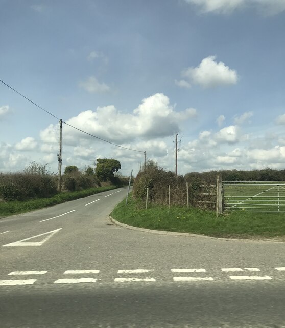
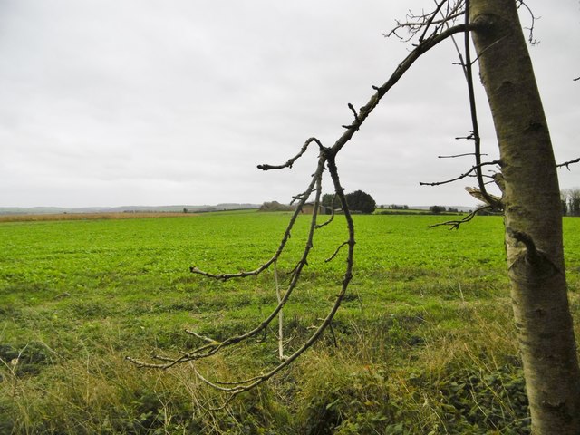
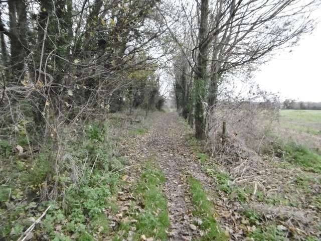
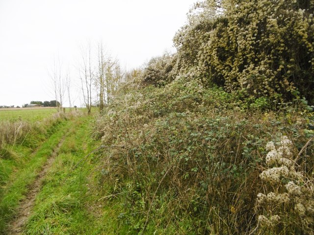
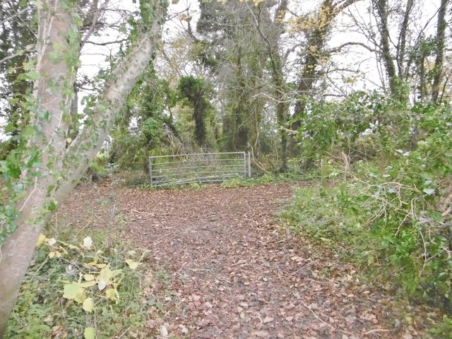
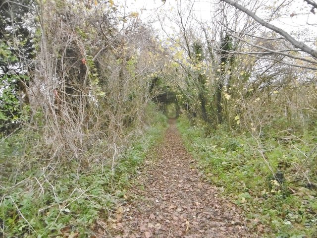
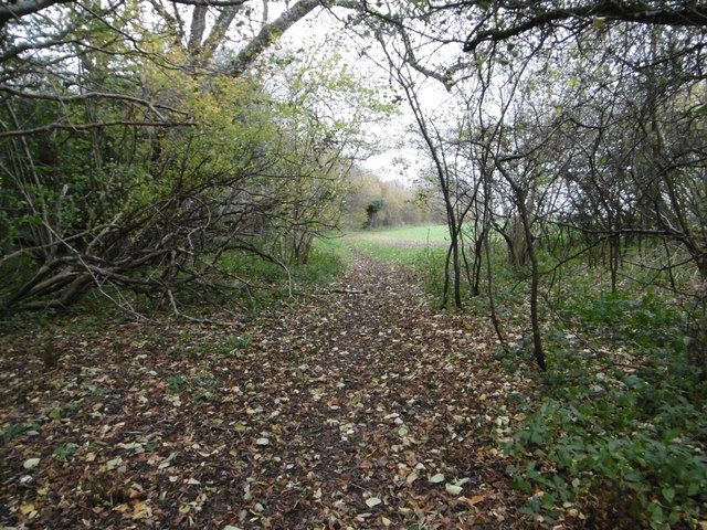
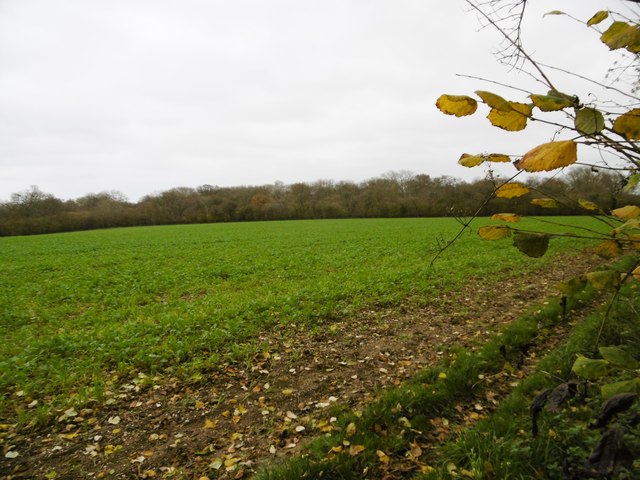
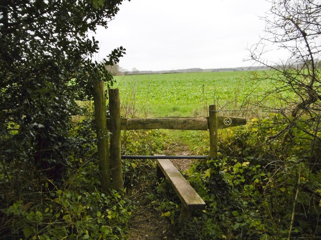
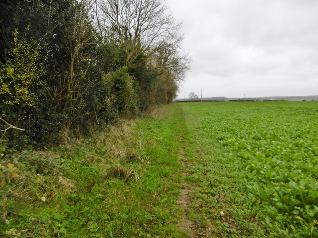
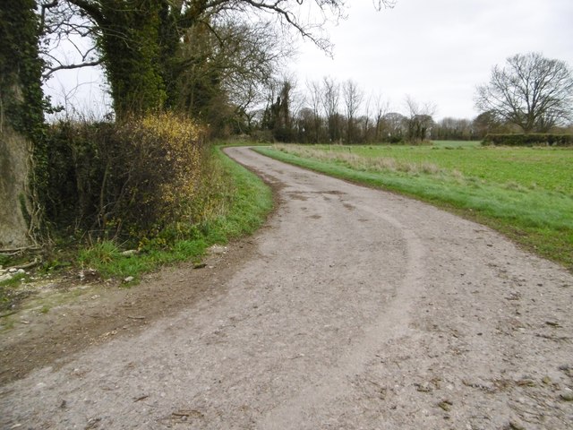
The surrounding area offers plenty of opportunities for outdoor activities such as hiking, cycling, and horse riding, with numerous trails and bridleways meandering through the rolling hills and wooded areas. Additionally, the nearby Chettle House, a Georgian mansion with stunning gardens, is open to the public during certain times of the year, providing a glimpse into the area's aristocratic past.

While Chettle may be small in size, it boasts a strong sense of community and is a haven for those seeking a peaceful countryside retreat. Its picturesque setting and historical landmarks make it a hidden gem within Dorset, attracting visitors who appreciate its beauty and serenity.

If you have any feedback on the listing, please let us know in the comments section below.

Chettle Images

Images are sourced within 2km of 50.92039/-2.0691461 or Grid Reference ST9513. Thanks to Geograph Open Source API. All images are credited.

The lane to Chettle off the A354
Castleman Hotel, Chettle The Castleman Hotel was originally Chettle Lodge, the dower house for the surrounding estate. Since 1846 the estate has been owned by the Castleman-Bourke family.
Castleman Hotel, Chettle
The Castleman Hotel was originally Chettle Lodge, the dower house for the surrounding estate. Since 1846 the estate has been owned by the Castleman-Bourke family.
Tarrant Hinton, masts Seen from the byway from Little Wood. NGR refers to the nearer mast.
Tarrant Hinton, masts
Seen from the byway from Little Wood. NGR refers to the nearer mast.
Tarrant Hinton, brassicas Oil-seed rape (?).
Tarrant Hinton, brassicas
Oil-seed rape (?).
Tarrant Hinton, byway Open to all traffic; towards Little Wood.
Tarrant Hinton, byway
Open to all traffic; towards Little Wood.
Tarrant Hinton, seedheads Traveller's Joy seedheads (Clematis vitalba), sprawling over an ash tree and scrub, on the byway to the village.
Tarrant Hinton, seedheads
Traveller's Joy seedheads (Clematis vitalba), sprawling over an ash tree and scrub, on the byway to the village.
Tarrant Hinton, byway junction Coming from Tarrant Gunville; left, to Chettle; right, to Tarrant Hinton.
Tarrant Hinton, byway junction
Coming from Tarrant Gunville; left, to Chettle; right, to Tarrant Hinton.
Tarrant Gunville, bridleway From <a href="https://www.geograph.org.uk/photo/4758077">ST9412 : Tarrant Hinton, byway junction</a> to the village. The bridleway also forms part of the Jubilee Trail, and is on the boundary of Tarrant Gunville and Chettle Parishes.
Tarrant Gunville, bridleway
From ST9412 : Tarrant Hinton, byway junction to the village. The bridleway also forms part of the Jubilee Trail, and is on the boundary of Tarrant Gunville and Chettle Parishes.
Chettle, gate The entrance to Little Wood.
Chettle, gate
The entrance to Little Wood.
Chettle, bridleway Leaving woodland for open farmland, on the way around Eastbury Park. This section forms part of Jubilee Trail. <span class="nowrap"><a title="https://www.ldwa.org.uk/ldp/members/show_path.php?path_name=Jubilee+Trail+(Dorset)" rel="nofollow ugc noopener" href="https://www.ldwa.org.uk/ldp/members/show_path.php?path_name=Jubilee+Trail+(Dorset)">Link</a><img style="margin-left:2px;" alt="External link" title="External link - shift click to open in new window" src="https://s1.geograph.org.uk/img/external.png" width="10" height="10"/></span>
Chettle, bridleway
Leaving woodland for open farmland, on the way around Eastbury Park. This section forms part of Jubilee Trail. LinkExternal link
Chettle, brassicas Looking towards Little Wood.
Chettle, brassicas
Looking towards Little Wood.
Chettle, stile At the beginning of the path along farmland to Tarrant Gunville; on the Jubilee Trail: <span class="nowrap"><a title="https://www.ldwa.org.uk/ldp/members/show_path.php?path_name=Jubilee+Trail+(Dorset)" rel="nofollow ugc noopener" href="https://www.ldwa.org.uk/ldp/members/show_path.php?path_name=Jubilee+Trail+(Dorset)">Link</a><img style="margin-left:2px;" alt="External link" title="External link - shift click to open in new window" src="https://s1.geograph.org.uk/img/external.png" width="10" height="10"/></span>
Chettle, stile
At the beginning of the path along farmland to Tarrant Gunville; on the Jubilee Trail: LinkExternal link
Tarrant Gunville, footpath Around Eastbury Park, towards the village; on the Jubilee Trail: <span class="nowrap"><a title="https://www.ldwa.org.uk/ldp/members/show_path.php?path_name=Jubilee+Trail+(Dorset)" rel="nofollow ugc noopener" href="https://www.ldwa.org.uk/ldp/members/show_path.php?path_name=Jubilee+Trail+(Dorset)">Link</a><img style="margin-left:2px;" alt="External link" title="External link - shift click to open in new window" src="https://s1.geograph.org.uk/img/external.png" width="10" height="10"/></span>
Tarrant Gunville, footpath
Around Eastbury Park, towards the village; on the Jubilee Trail: LinkExternal link
Tarrant Gunville, farm road
Tarrant Gunville, mound At first sight, a tumulus; at second, part of a Bronze Age cemetery; but not shown as such by OS, or listed by Historic England. In fact part of an C17 garden for Eastbury House, and shown on a contemporary plan: <span class="nowrap"><a title="http://www.dorsetlife.co.uk/2007/10/a-lost-mansion-of-dorset/" rel="nofollow ugc noopener" href="http://www.dorsetlife.co.uk/2007/10/a-lost-mansion-of-dorset/">Link</a><img style="margin-left:2px;" alt="External link" title="External link - shift click to open in new window" src="https://s1.geograph.org.uk/img/external.png" width="10" height="10"/></span> See also <a href="https://www.geograph.org.uk/photo/4758238">ST9313 : Tarrant Gunville, Solomon's Quarter</a>.
Tarrant Gunville, mound
At first sight, a tumulus; at second, part of a Bronze Age cemetery; but not shown as such by OS, or listed by Historic England. In fact part of an C17 garden for Eastbury House, and shown on a contemporary plan: LinkExternal link See also ST9313 : Tarrant Gunville, Solomon's Quarter.
Tarrant Gunville, Solomon's Quarter As seen from the top of <a href="https://www.geograph.org.uk/photo/4758237">ST9313 : Tarrant Gunville, mound</a>; seven similar mounds can be made out. Part of elaborate C18 gardens for Eastbury House: <span class="nowrap"><a title="http://www.dorsetlife.co.uk/2007/10/a-lost-mansion-of-dorset/" rel="nofollow ugc noopener" href="http://www.dorsetlife.co.uk/2007/10/a-lost-mansion-of-dorset/">Link</a><img style="margin-left:2px;" alt="External link" title="External link - shift click to open in new window" src="https://s1.geograph.org.uk/img/external.png" width="10" height="10"/></span>
Tarrant Gunville, Solomon's Quarter
As seen from the top of ST9313 : Tarrant Gunville, mound; seven similar mounds can be made out. Part of elaborate C18 gardens for Eastbury House: LinkExternal link
Ford at Minchington This ford at Minchington was in flood on the day of our visit.
Ford at Minchington
This ford at Minchington was in flood on the day of our visit.
Tumuli at Solomon's Quarters, Eastbury House An amazing double row of symmetrical tumuli, north of Eastbury House.
Tumuli at Solomon's Quarters, Eastbury House
An amazing double row of symmetrical tumuli, north of Eastbury House.
Show me another place!

Chettle is located at Grid Ref: ST9513 (Lat: 50.92039, Lng: -2.0691461)

Unitary Authority: Dorset

Police Authority: Dorset

What 3 Words

///stalemate.soda.thumb. Near Pimperne, Dorset

Nearby Locations

Chettle New Coppice

Related Wikis

Chettle

Chettle is a small village and civil parish in the county of Dorset in southern England. It lies 6 miles (10 kilometres) northeast of Blandford Forum....
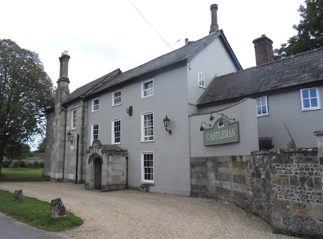
Chettle House

Chettle House is a Grade I listed country manor house with Queen Anne style architecture in Chettle, North Dorset, England, about 6 miles (10 km) northeast...

Farnham, Dorset

Farnham is a village and civil parish in North Dorset, in the south of England, on Cranborne Chase, seven miles (eleven kilometres) northeast of Blandford...

Eastbury Park

Eastbury Park was a country estate near Tarrant Gunville in Dorset, England. It contained a large mansion designed by Sir John Vanbrugh. The mansion has...

Nearby Amenities

Located within 500m of 50.92039,-2.0691461
Chettle
Is In: Dorset, UK
Place: village
Lat/Long: 50.9202198/-2.0690636
Material: wood
Power: pole
Source: bing
Lat/Long: 50.9210124/-2.0696555
Material: wood
Power: pole
Source: bing
Lat/Long: 50.9215248/-2.0687302
Material: wood
Power: pole
Source: bing
Lat/Long: 50.9221351/-2.0682634
Material: wood
Power: pole
Source: bing
Lat/Long: 50.9227658/-2.0677672
Material: wood
Power: pole
Source: bing
Lat/Long: 50.9230262/-2.0744942
Material: wood
Power: pole
Source: bing
Lat/Long: 50.9231648/-2.0730163
Material: wood
Power: pole
Source: bing
Lat/Long: 50.923361/-2.0672979
Material: wood
Power: pole
Source: bing
Lat/Long: 50.9233677/-2.0714258
Material: wood
Power: pole
Source: bing
Lat/Long: 50.9235622/-2.0698835
Material: wood
Power: pole
Source: bing
Lat/Long: 50.9237667/-2.0683761
Material: wood
Power: pole
Source: bing
Lat/Long: 50.9239646/-2.0668365
Chettle Stores
Shop: convenience
Lat/Long: 50.9201414/-2.0678985
Post Box
Operator: Royal Mail
Post Box Type: wall
Ref: DT11 57
Ref GB Uprn: 10015380174
Royal Cypher: GVIR
Lat/Long: 50.9208819/-2.0697092
The data included in this document is from www.openstreetmap.org. The data is made available under ODbL.

Have you been to Chettle?

Leave your review of Chettle below (or comments, questions and feedback).