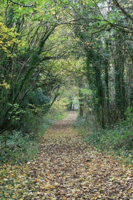
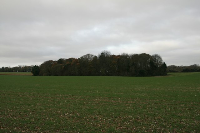
New Coppice

Wood, Forest in Dorset

England

New Coppice
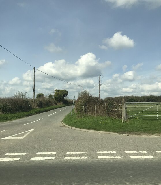
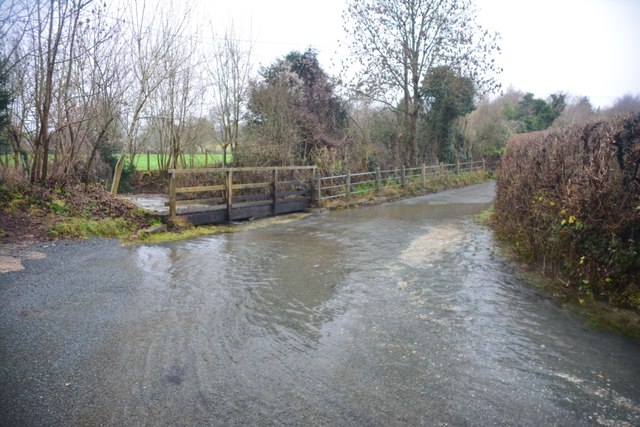
The lane to Chettle off the A354
The lane to Chettle off the A354 Credit: Paul Barnett

New Coppice is a wooded area located in the county of Dorset, England. It is situated near the town of Blandford Forum and covers an area of approximately 100 acres. This forested area is known for its dense and diverse collection of trees, making it an ideal location for nature enthusiasts and hikers.

The wood is predominantly composed of broadleaf trees, with species such as oak, beech, and ash being prevalent. These trees provide a rich habitat for a variety of wildlife, including birds, mammals, and insects. The forest floor is covered in a thick layer of leaf litter, creating an ideal environment for fungi and other woodland flora.

New Coppice is home to several well-marked footpaths and trails, allowing visitors to explore the area and enjoy its natural beauty. The trails wind through the forest, offering stunning views of the surrounding countryside. The wood is particularly popular in the autumn months when the leaves change color, providing a vibrant display of reds, oranges, and yellows.

In addition to its natural beauty, New Coppice also has historical significance. It is believed that the wood has been in existence for centuries and has been used by local communities for various purposes, including timber production and charcoal making.

Overall, New Coppice in Dorset is a picturesque woodland area that offers a tranquil escape from the bustling city life. It provides a haven for nature lovers, hikers, and those seeking a peaceful retreat in the heart of the English countryside.

If you have any feedback on the listing, please let us know in the comments section below.

New Coppice Images

Images are sourced within 2km of 50.922668/-2.0637574 or Grid Reference ST9513. Thanks to Geograph Open Source API. All images are credited.
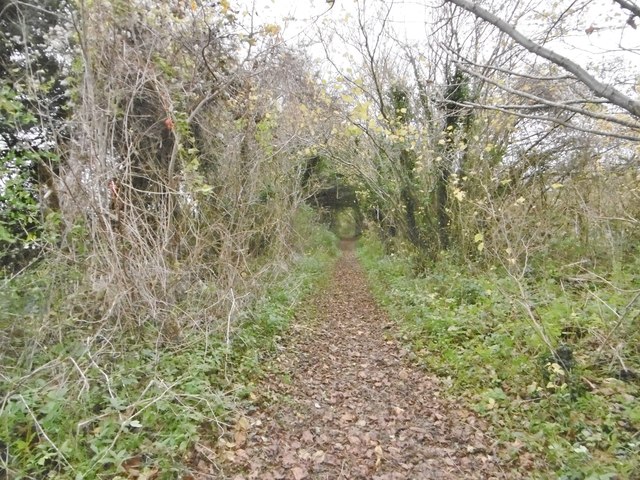
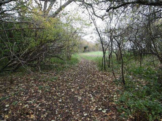
The lane to Chettle off the A354
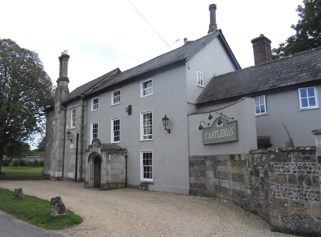
Castleman Hotel, Chettle The Castleman Hotel was originally Chettle Lodge, the dower house for the surrounding estate. Since 1846 the estate has been owned by the Castleman-Bourke family.
Castleman Hotel, Chettle
The Castleman Hotel was originally Chettle Lodge, the dower house for the surrounding estate. Since 1846 the estate has been owned by the Castleman-Bourke family.
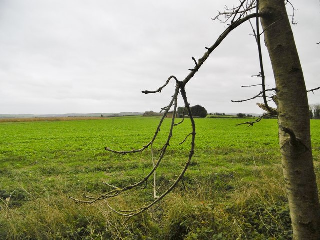
Tarrant Hinton, brassicas Oil-seed rape (?).
Tarrant Hinton, brassicas
Oil-seed rape (?).
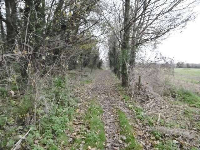
Tarrant Hinton, byway Open to all traffic; towards Little Wood.
Tarrant Hinton, byway
Open to all traffic; towards Little Wood.
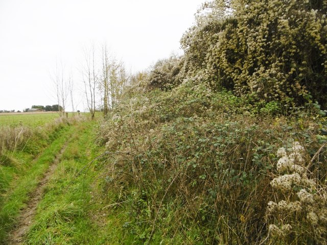
Tarrant Hinton, seedheads Traveller's Joy seedheads (Clematis vitalba), sprawling over an ash tree and scrub, on the byway to the village.
Tarrant Hinton, seedheads
Traveller's Joy seedheads (Clematis vitalba), sprawling over an ash tree and scrub, on the byway to the village.
Tarrant Hinton, byway junction Coming from Tarrant Gunville; left, to Chettle; right, to Tarrant Hinton.
Tarrant Hinton, byway junction
Coming from Tarrant Gunville; left, to Chettle; right, to Tarrant Hinton.
Tarrant Gunville, bridleway From <a href="https://www.geograph.org.uk/photo/4758077">ST9412 : Tarrant Hinton, byway junction</a> to the village. The bridleway also forms part of the Jubilee Trail, and is on the boundary of Tarrant Gunville and Chettle Parishes.
Tarrant Gunville, bridleway
From ST9412 : Tarrant Hinton, byway junction to the village. The bridleway also forms part of the Jubilee Trail, and is on the boundary of Tarrant Gunville and Chettle Parishes.
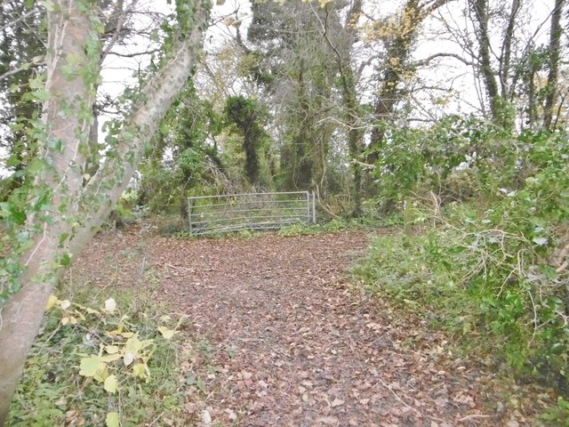
Chettle, gate The entrance to Little Wood.
Chettle, gate
The entrance to Little Wood.
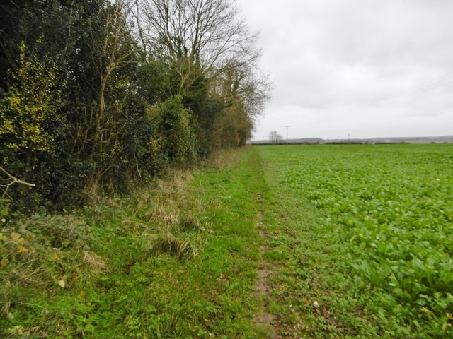
Chettle, bridleway Leaving woodland for open farmland, on the way around Eastbury Park. This section forms part of Jubilee Trail. <span class="nowrap"><a title="https://www.ldwa.org.uk/ldp/members/show_path.php?path_name=Jubilee+Trail+(Dorset)" rel="nofollow ugc noopener" href="https://www.ldwa.org.uk/ldp/members/show_path.php?path_name=Jubilee+Trail+(Dorset)">Link</a><img style="margin-left:2px;" alt="External link" title="External link - shift click to open in new window" src="https://s1.geograph.org.uk/img/external.png" width="10" height="10"/></span>
Chettle, bridleway
Leaving woodland for open farmland, on the way around Eastbury Park. This section forms part of Jubilee Trail. LinkExternal link
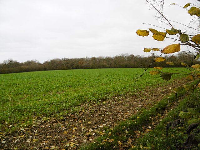
Chettle, brassicas Looking towards Little Wood.
Chettle, brassicas
Looking towards Little Wood.
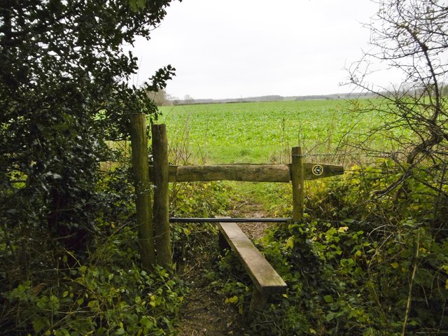
Chettle, stile At the beginning of the path along farmland to Tarrant Gunville; on the Jubilee Trail: <span class="nowrap"><a title="https://www.ldwa.org.uk/ldp/members/show_path.php?path_name=Jubilee+Trail+(Dorset)" rel="nofollow ugc noopener" href="https://www.ldwa.org.uk/ldp/members/show_path.php?path_name=Jubilee+Trail+(Dorset)">Link</a><img style="margin-left:2px;" alt="External link" title="External link - shift click to open in new window" src="https://s1.geograph.org.uk/img/external.png" width="10" height="10"/></span>
Chettle, stile
At the beginning of the path along farmland to Tarrant Gunville; on the Jubilee Trail: LinkExternal link
Tarrant Gunville, footpath Around Eastbury Park, towards the village; on the Jubilee Trail: <span class="nowrap"><a title="https://www.ldwa.org.uk/ldp/members/show_path.php?path_name=Jubilee+Trail+(Dorset)" rel="nofollow ugc noopener" href="https://www.ldwa.org.uk/ldp/members/show_path.php?path_name=Jubilee+Trail+(Dorset)">Link</a><img style="margin-left:2px;" alt="External link" title="External link - shift click to open in new window" src="https://s1.geograph.org.uk/img/external.png" width="10" height="10"/></span>
Tarrant Gunville, footpath
Around Eastbury Park, towards the village; on the Jubilee Trail: LinkExternal link
Ford at Minchington This ford at Minchington was in flood on the day of our visit.
Ford at Minchington
This ford at Minchington was in flood on the day of our visit.
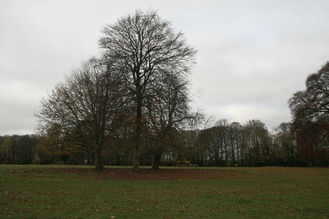
The Park, Chettle
The Park, Chettle
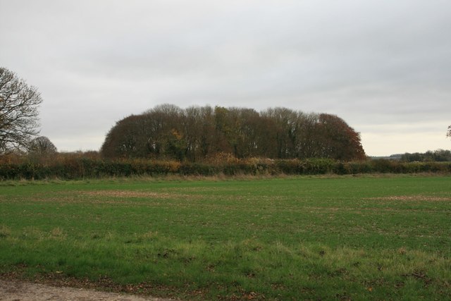
Zareba Clump, Eastbury House An unusually named clump of trees.
Zareba Clump, Eastbury House
An unusually named clump of trees.
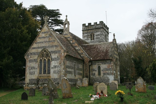
Church of St Mary, Chettle
Byway through Little Wood, Chettle
Ninety-nine Plantation, near Pimperne
Show me another place!

New Coppice is located at Grid Ref: ST9513 (Lat: 50.922668, Lng: -2.0637574)

Unitary Authority: Dorset

Police Authority: Dorset

What 3 Words

///slams.paramedic.visual. Near Pimperne, Dorset

Nearby Locations

Chettle New Coppice

Related Wikis

Chettle

Chettle is a small village and civil parish in the county of Dorset in southern England. It lies 6 miles (10 kilometres) northeast of Blandford Forum....

Chettle House

Chettle House is a Grade I listed country manor house with Queen Anne style architecture in Chettle, North Dorset, England, about 6 miles (10 km) northeast...

Farnham, Dorset

Farnham is a village and civil parish in North Dorset, in the south of England, on Cranborne Chase, seven miles (eleven kilometres) northeast of Blandford...

Thickthorn Down Long Barrows

The Thickthorn Down Long Barrows are two Neolithic long barrows, near the village of Gussage St Michael in Dorset, England. They are near the south-western...

Nearby Amenities

Located within 500m of 50.922668,-2.0637574
Chettle
Is In: Dorset, UK
Place: village
Lat/Long: 50.9202198/-2.0690636
Material: wood
Power: pole
Source: bing
Lat/Long: 50.9210124/-2.0696555
Material: wood
Power: pole
Source: bing
Lat/Long: 50.9215248/-2.0687302
Material: wood
Power: pole
Source: bing
Lat/Long: 50.9221351/-2.0682634
Material: wood
Power: pole
Source: bing
Lat/Long: 50.9227658/-2.0677672
Material: wood
Power: pole
Source: bing
Lat/Long: 50.923361/-2.0672979
Material: wood
Power: pole
Source: bing
Lat/Long: 50.9235622/-2.0698835
Material: wood
Power: pole
Source: bing
Lat/Long: 50.9237667/-2.0683761
Material: wood
Power: pole
Source: bing
Lat/Long: 50.9239646/-2.0668365
Material: wood
Power: pole
Source: bing
Lat/Long: 50.924509/-2.0658468
Material: wood
Power: pole
Source: bing
Lat/Long: 50.9250348/-2.0648463
Material: wood
Power: pole
Source: bing
Lat/Long: 50.9255851/-2.0638499
Material: wood
Power: pole
Source: bing
Lat/Long: 50.926176/-2.0626684
Material: wood
Power: pole
Source: bing
Lat/Long: 50.9267981/-2.0614936
Material: wood
Power: pole
Source: bing
Lat/Long: 50.9269224/-2.0632652
Chettle Stores
Shop: convenience
Lat/Long: 50.9201414/-2.0678985
Post Box
Operator: Royal Mail
Post Box Type: wall
Ref: DT11 57
Ref GB Uprn: 10015380174
Royal Cypher: GVIR
Lat/Long: 50.9208819/-2.0697092
The data included in this document is from www.openstreetmap.org. The data is made available under ODbL.

Have you been to New Coppice?

Leave your review of New Coppice below (or comments, questions and feedback).