Spring Dingle

Valley in Shropshire

England

Spring Dingle

Lane from Wrickton
Lane from Wrickton Credit: John M

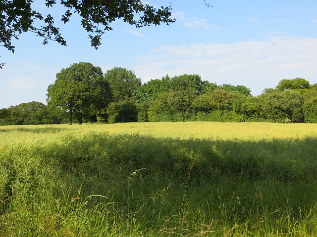
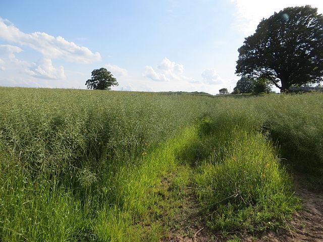
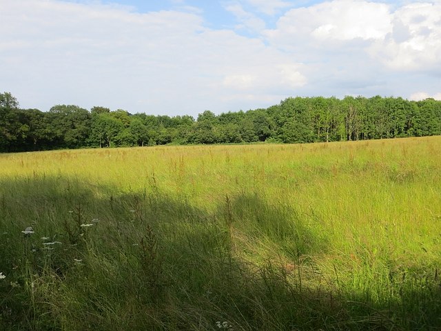
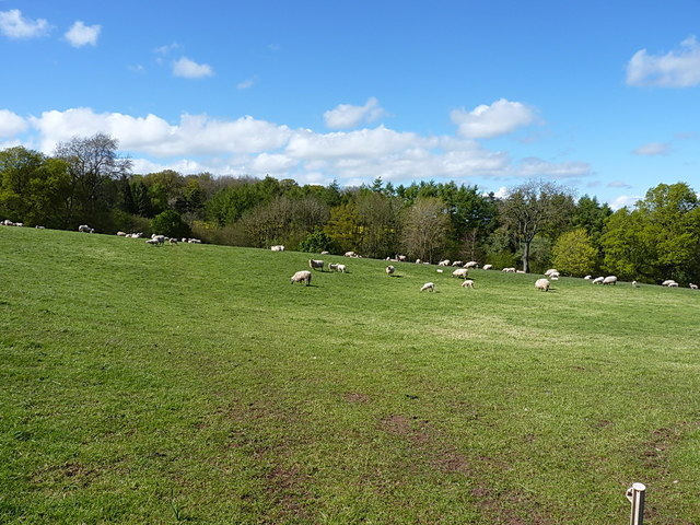
Spring Dingle is a picturesque valley located in the county of Shropshire, England. Nestled amidst the rolling hills and lush greenery, it is a haven of natural beauty and tranquility. The valley stretches over a mile, offering visitors a diverse landscape to explore.

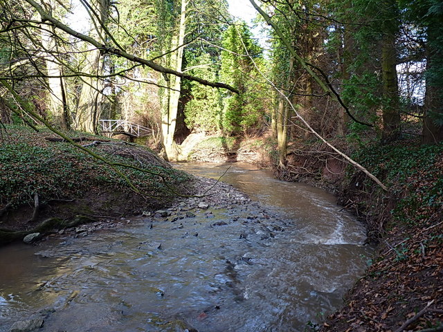
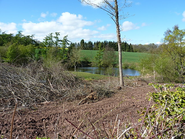
One of the standout features of Spring Dingle is its vibrant spring-fed stream that meanders through the valley. The crystal-clear waters glisten under the sunlight, creating a mesmerizing sight. The stream is home to a variety of aquatic life, including fish and insects, adding to the valley's biodiversity.

Lush woodlands cover the slopes of the valley, providing a habitat for numerous species of birds and small mammals. The trees, predominantly oak and beech, provide a cool shade during the summer months and a stunning display of colors in the autumn.

Spring Dingle is also known for its diverse flora. The valley is adorned with a carpet of wildflowers in the spring, including bluebells, primroses, and daffodils. This burst of color attracts not only nature enthusiasts but also photographers and artists looking to capture the essence of this idyllic setting.

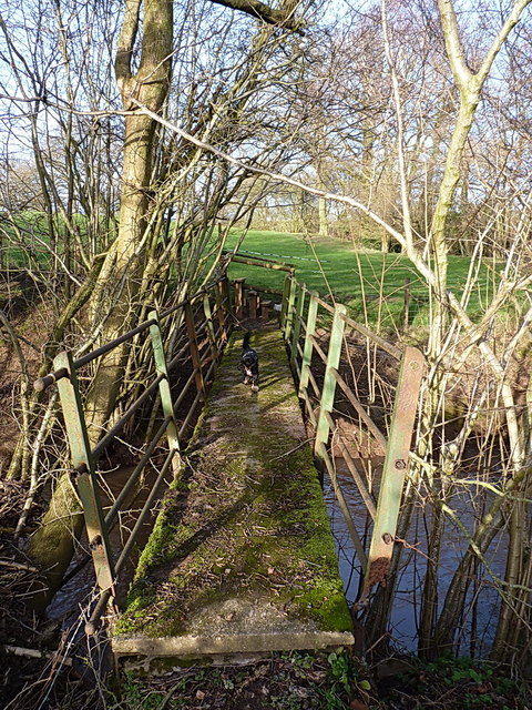
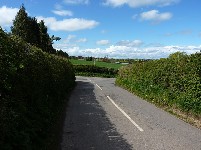
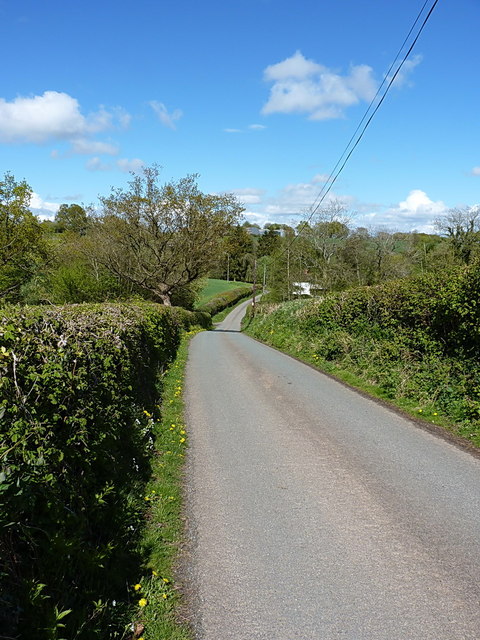
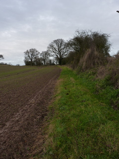
For those seeking outdoor activities, Spring Dingle offers several walking trails that wind through the valley, providing stunning views at every turn. The peaceful ambiance and picturesque surroundings make it an ideal spot for a leisurely stroll or a picnic with family and friends.

In summary, Spring Dingle, Shropshire is a natural gem, offering visitors a chance to escape the hustle and bustle of everyday life and immerse themselves in the beauty of nature.

If you have any feedback on the listing, please let us know in the comments section below.

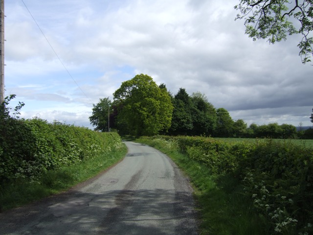
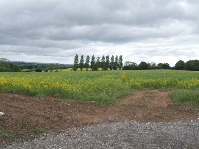
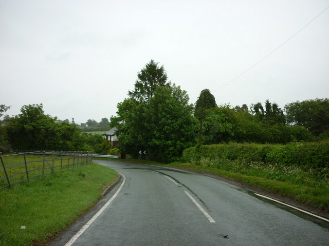
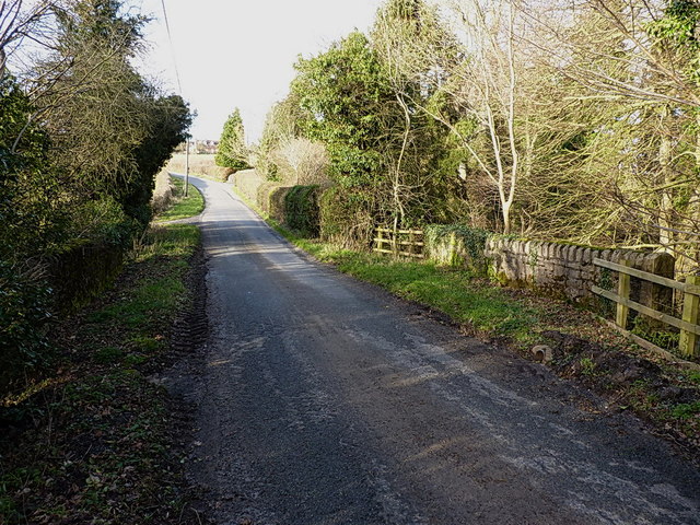
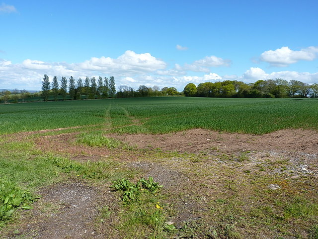
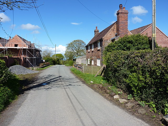
Spring Dingle Images

Images are sourced within 2km of 52.507454/-2.4900159 or Grid Reference SO6690. Thanks to Geograph Open Source API. All images are credited.

Lane from Wrickton
Lane from Wrickton
Public footpath from Oldfield The path through the rape field in the reverse direction to <a href="https://www.geograph.org.uk/photo/396805">SO6788 : Public footpath to Oldfield, Shropshire</a>
Public footpath from Oldfield
The path through the rape field in the reverse direction to SO6788 : Public footpath to Oldfield, Shropshire
The B4364 at Lower Faintree
Down Mill bridge on Milfields Way The bridge carries the lane from The Down to Eudon George across the Borle Brook. There is (or more likely was) an OS benchmark on the end of the sunlit parapet wall nearest to the camera, but it's either obscured by ivy/the fence, or the wall has been rebuilt since the mark was originally cut.
Down Mill bridge on Milfields Way
The bridge carries the lane from The Down to Eudon George across the Borle Brook. There is (or more likely was) an OS benchmark on the end of the sunlit parapet wall nearest to the camera, but it's either obscured by ivy/the fence, or the wall has been rebuilt since the mark was originally cut.
The Borle Brook The stream rises in the area of Meadowley and Upton Cressett to the northwest of here, then heads south and east beyond Billingsley to join the Severn just south of Highley, where the rather magnificent <a href="https://www.geograph.org.uk/photo/1544670">SO7581 : Iron bridge over Borle Brook</a> is found.
The Borle Brook
The stream rises in the area of Meadowley and Upton Cressett to the northwest of here, then heads south and east beyond Billingsley to join the Severn just south of Highley, where the rather magnificent SO7581 : Iron bridge over Borle Brook is found.
Semis beside the track to Eudon Mill A row of houses beside the track and footpath. The furthest one is a new build.
Semis beside the track to Eudon Mill
A row of houses beside the track and footpath. The furthest one is a new build.
Footbridge over the Borle Brook A small bridge carrying a path through damp fields across the Borle. Daft Dog enjoyed the scent of pheasants around this way.
Footbridge over the Borle Brook
A small bridge carrying a path through damp fields across the Borle. Daft Dog enjoyed the scent of pheasants around this way.
Oilseed rape, Oldfield
Oilseed rape, Cockshut
Long grass, Eudon Awaiting cutting, probably for silage.
Long grass, Eudon
Awaiting cutting, probably for silage.
Junction at Upper Cockshutt The junction of the lane from Oldfield and Middleton Scriven, with the B4364 Ludlow Road. The pre-Worboys milepost stands above the hedgerow on the other side of the main road.
Junction at Upper Cockshutt
The junction of the lane from Oldfield and Middleton Scriven, with the B4364 Ludlow Road. The pre-Worboys milepost stands above the hedgerow on the other side of the main road.
Junction of lanes above Oldfield The main part of the lane goes round the bend to join the B4364 at <a href="https://www.geograph.org.uk/photo/4480628">SO6789 : Junction at Upper Cockshutt</a> whilst the right turn drops down to Middleton Scriven and Deuxhill.
Junction of lanes above Oldfield
The main part of the lane goes round the bend to join the B4364 at SO6789 : Junction at Upper Cockshutt whilst the right turn drops down to Middleton Scriven and Deuxhill.
Footpath to Eudon George Running north-east across this field, the path turns due east after about 500 yards and makes for the settlement of Eudon George in <a href="https://www.geograph.org.uk/gridref/SO6888">SO6888</a>
Footpath to Eudon George
Running north-east across this field, the path turns due east after about 500 yards and makes for the settlement of Eudon George in SO6888
Oldfields Farm Barn conversion or rebuilding work appears to be in progress, although the farmhouse is unchanged in 7 years <a href="https://www.geograph.org.uk/photo/1038593">SO6788 : The lane through Oldfield</a>
Oldfields Farm
Barn conversion or rebuilding work appears to be in progress, although the farmhouse is unchanged in 7 years SO6788 : The lane through Oldfield
Reservoir on a small stream The stream here is a tributary of the Crunells Brook, which drains an area to the south and east of Deuxhill, and then joins the Borle Brook in <a href="https://www.geograph.org.uk/gridref/SO7187">SO7187</a>
Reservoir on a small stream
The stream here is a tributary of the Crunells Brook, which drains an area to the south and east of Deuxhill, and then joins the Borle Brook in SO7187
Lane down to Oldfield This lane runs from Wrickton in <a href="https://www.geograph.org.uk/gridref/SO6485">SO6485</a> through Oldfield, and up to the B4364 Ludlow Road.
Lane down to Oldfield
This lane runs from Wrickton in SO6485 through Oldfield, and up to the B4364 Ludlow Road.
Sheep on a hillside near Arksley Farm
A footpath diversion south of Meadowley The true right of way runs through the crop about 100 yards to the west (left) of here, and is marked by three or four oaks on the line of an old hedge, but the field margin appears to have been left unploughed as an easier alternative.
A footpath diversion south of Meadowley
The true right of way runs through the crop about 100 yards to the west (left) of here, and is marked by three or four oaks on the line of an old hedge, but the field margin appears to have been left unploughed as an easier alternative.
Show me another place!

Spring Dingle is located at Grid Ref: SO6690 (Lat: 52.507454, Lng: -2.4900159)

Unitary Authority: Shropshire

Police Authority: West Mercia

What 3 Words

///limelight.silent.graphics. Near Bridgnorth, Shropshire

Nearby Locations

Spring Dingle Chetton

Related Wikis

Chetton

Chetton is a small village and civil parish in Shropshire, England. According to the 2011 census the parish had a population of 349. It is about 20 miles...

Upton Cressett medieval settlement

Upton Cressett medieval settlement is an archaeological site, a deserted medieval village in Shropshire, England, adjacent to the village of Upton Cressett...

Upton Cressett

Upton Cressett is a village and civil parish in the English county of Shropshire. Population details for the 2011 census are shown under Aston Eyre parish...

Upton Cressett Hall

Upton Cressett Hall is an Elizabethan moated manor house in the village of Upton Cressett, Shropshire, England. It is a Grade I-listed building. The hall...

Nearby Amenities

Located within 500m of 52.507454,-2.4900159
The data included in this document is from www.openstreetmap.org. The data is made available under ODbL.

Have you been to Spring Dingle?

Leave your review of Spring Dingle below (or comments, questions and feedback).