Middle Grain Clough
Valley in Yorkshire Ribble Valley
England
Middle Grain Clough
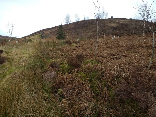
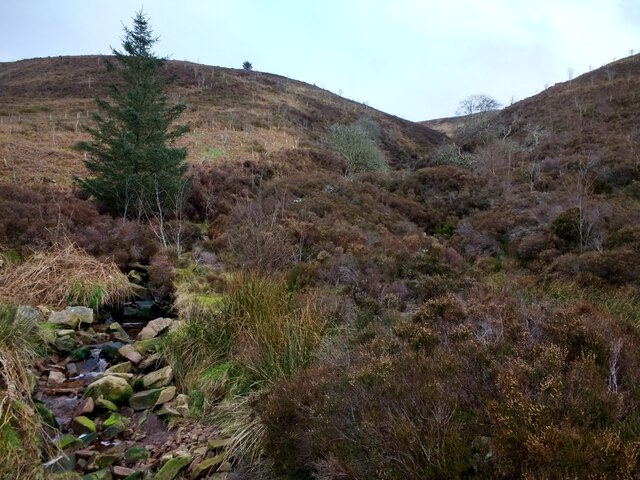
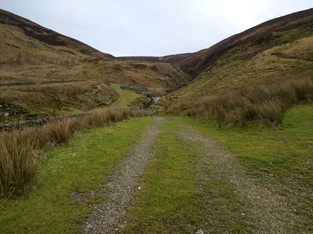
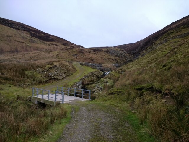
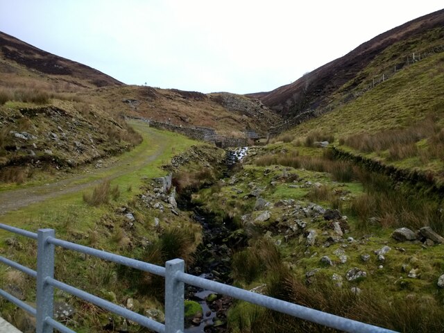
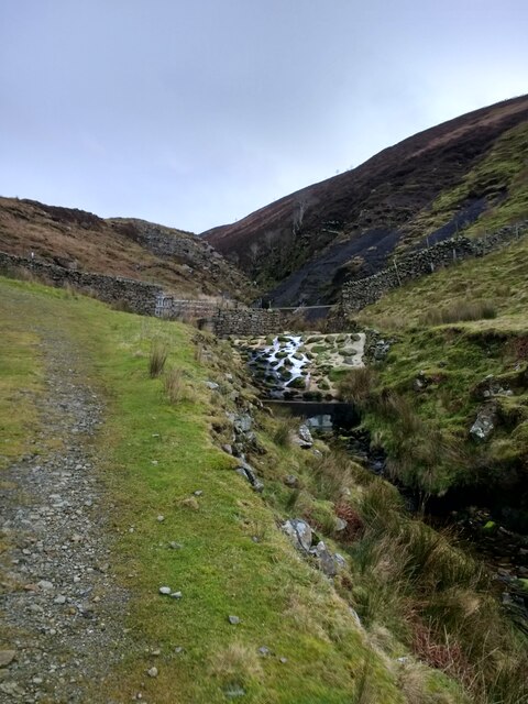
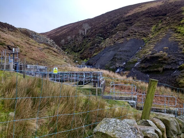
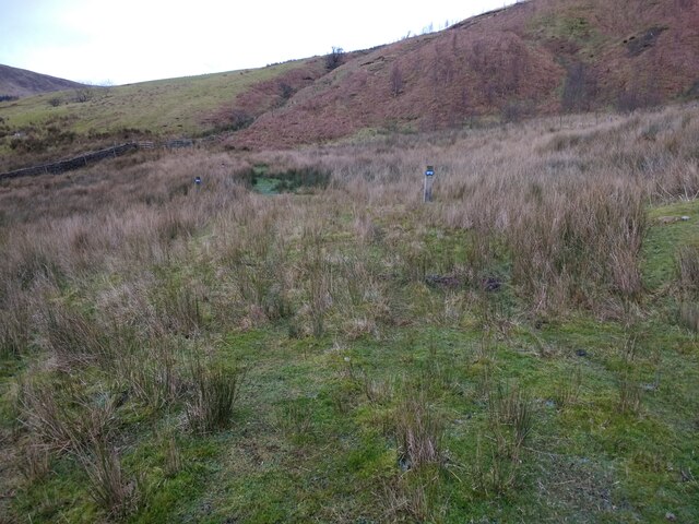
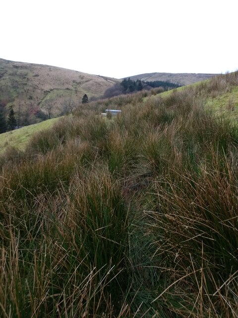
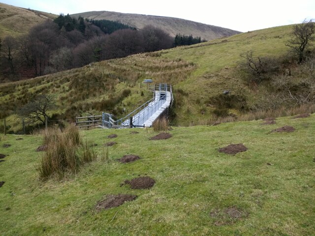
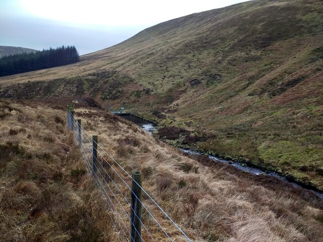
Middle Grain Clough is a picturesque valley located in the county of Yorkshire, England. Tucked away in the heart of the Pennines, this enchanting landscape is known for its breathtaking beauty and tranquil atmosphere. The clough, a term used to describe a steep-sided valley, is situated between two steep hills covered in lush greenery, creating a natural amphitheater-like setting.
The valley is characterized by its middle grain, a type of wheat that grows abundantly in the region. This agricultural backdrop adds to the charm of the area, as fields of golden crops gently sway in the breeze. The fertile soil, combined with the valley's favorable microclimate, makes it an ideal location for farming.
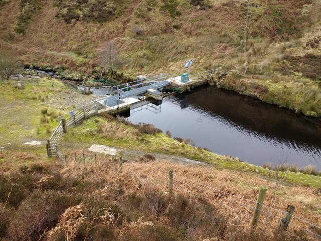
The clough is dissected by a meandering river, which flows through the heart of the valley. This river serves as a vital water source for the surrounding farmlands and wildlife, creating a thriving ecosystem. The sound of the babbling water adds to the tranquility of the area, making it a haven for nature enthusiasts and photographers.
Surrounding the Middle Grain Clough are dense woodlands, providing a haven for a variety of wildlife. The valley is home to an array of bird species, including the elusive kingfisher and the majestic buzzard. It is also a habitat for small mammals such as otters, badgers, and rabbits.
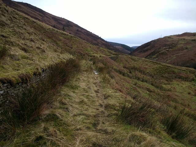
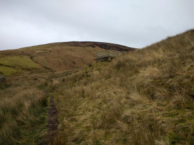
Visitors to Middle Grain Clough can explore the numerous walking trails that wind through the valley, offering breathtaking views and an opportunity to connect with nature. The beauty of the area, combined with its rich history and diverse wildlife, make Middle Grain Clough a must-visit destination for those seeking an escape from the hustle and bustle of modern life.
If you have any feedback on the listing, please let us know in the comments section below.
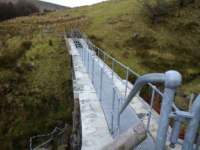
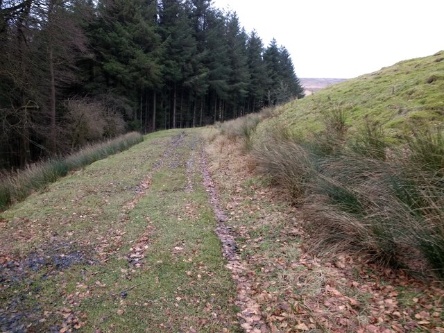
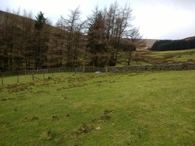
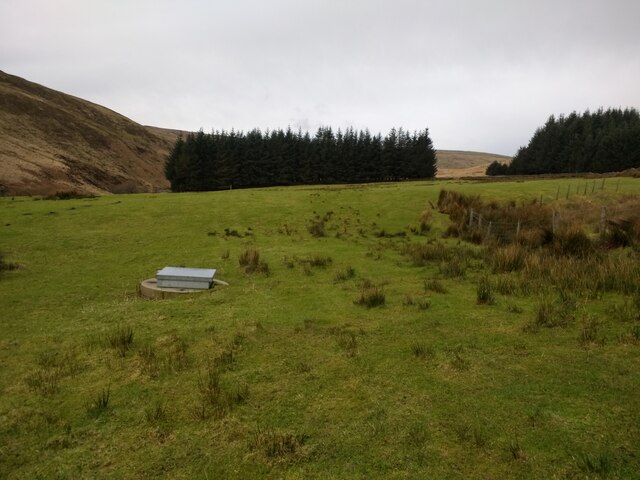
Middle Grain Clough Images
Images are sourced within 2km of 53.992697/-2.506975 or Grid Reference SD6655. Thanks to Geograph Open Source API. All images are credited.
Middle Grain Clough is located at Grid Ref: SD6655 (Lat: 53.992697, Lng: -2.506975)
Division: West Riding
Administrative County: Lancashire
District: Ribble Valley
Police Authority: Lancashire
What 3 Words
///debit.commander.chestnuts. Near Waddington, Lancashire
Nearby Locations
Related Wikis

Geography of the United Kingdom
The United Kingdom is a sovereign state located off the north-western coast of continental Europe. With a total area of approximately 248,532 square kilometres...

Brennand Farm
Brennand Farm is often claimed to be the true centre of Great Britain. This is about seven kilometres north-west of Dunsop Bridge - which has the nearest...

White Hill (Forest of Bowland)
White Hill is a hill in the Forest of Bowland, north-western England. It lies between Slaidburn and High Bentham. The summit houses a tower and a trig...

Wolfhole Crag
Wolfhole Crag is a lonely and seldom-visited hill in the Forest of Bowland in Lancashire, England. Its seclusion is due in part to its low profile and...

Trough of Bowland
The Trough of Bowland is a valley and high pass in the Forest of Bowland Area of Outstanding Natural Beauty, Lancashire, England. The pass, reaching 968...

Grey Stone of Trough
The Grey Stone of Trough is an historic boundary marker in Bowland Forest High, in the Trough of Bowland, Lancashire, England. A Grade II listed structure...

King's House, Slaidburn
King's House is a Grade II listed building in Slaidburn, Lancashire, England, now used as a youth hostel. It was originally built in the 18th century,...

St Andrew's Church, Slaidburn
St Andrew's Church is in Church Street, Slaidburn, Lancashire, England. It is an active Anglican parish church in the deanery of Bowland, the archdeaconry...
Nearby Amenities
Located within 500m of 53.992697,-2.506975Have you been to Middle Grain Clough?
Leave your review of Middle Grain Clough below (or comments, questions and feedback).