Whitendale Fell
Downs, Moorland in Yorkshire Ribble Valley
England
Whitendale Fell
Whitendale Fell is a picturesque area located in the county of Yorkshire, England. Sprawled across the stunning Yorkshire Downs and Moorland, it is renowned for its breathtaking natural beauty and peaceful ambiance. The fell is situated approximately 10 miles southwest of the charming market town of Richmond, making it easily accessible to both locals and visitors.
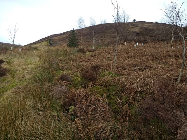
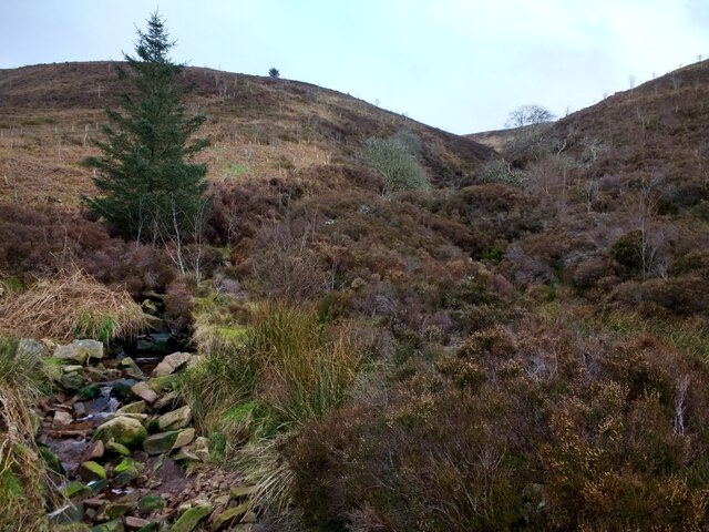
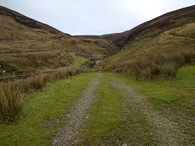
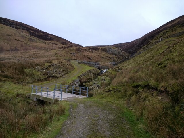
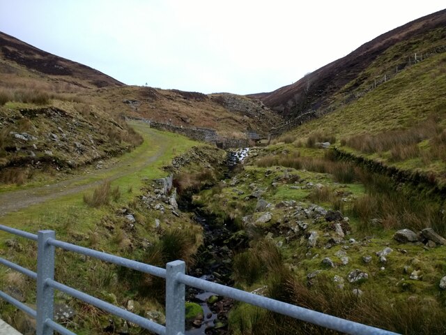
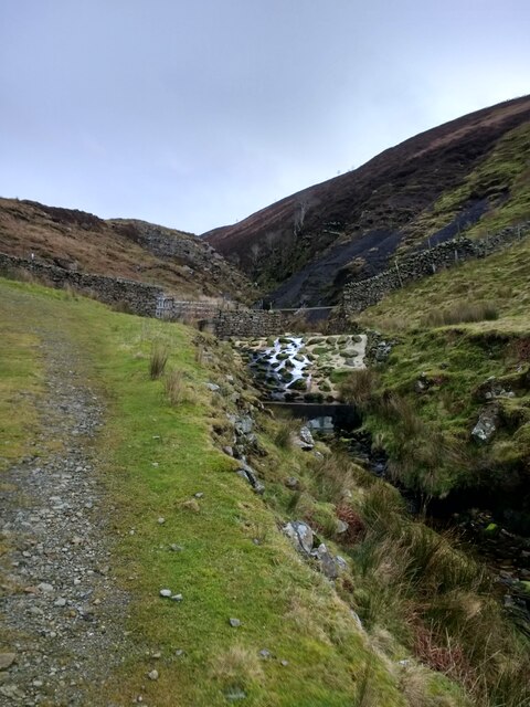
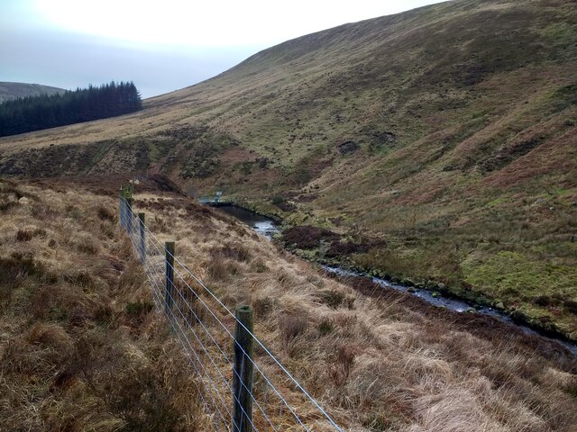
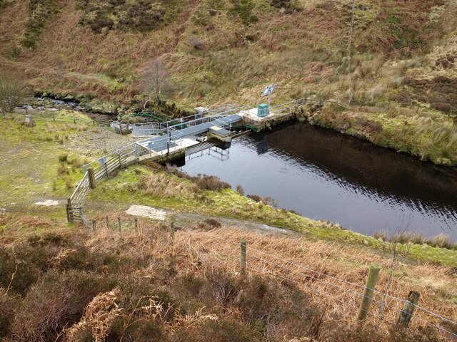
Covering an expansive area of rolling hills, gentle slopes, and vast open spaces, Whitendale Fell offers panoramic views that stretch for miles. The landscape is dominated by heather-covered moorland, interspersed with patches of thick woodland and tranquil streams. The diversity of flora and fauna found in this region makes it a haven for nature enthusiasts, hikers, and birdwatchers.
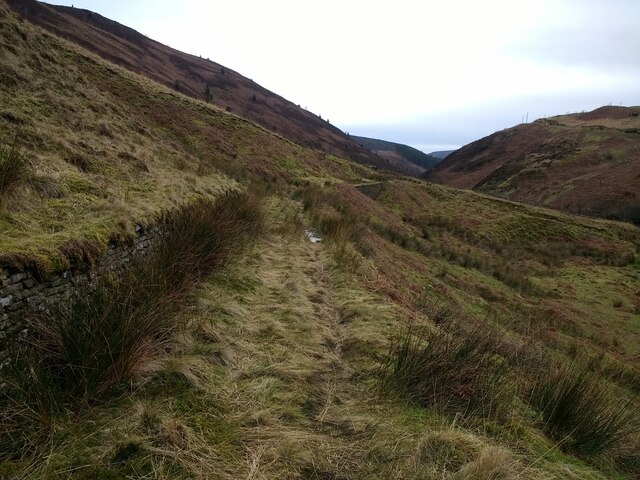
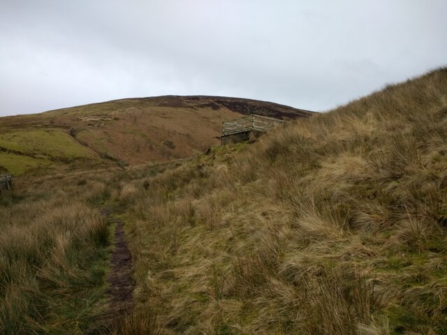
The area is crisscrossed by a network of well-maintained walking trails, allowing visitors to explore its beauty at their own pace. The popular Whitendale Loop Trail takes hikers through some of the most scenic spots, leading them to hidden waterfalls, ancient stone circles, and remote caves.
In addition to its natural wonders, Whitendale Fell also boasts a rich history. Evidence of ancient settlements and burial sites can be found throughout the area, telling tales of the people who once inhabited this land. Ruins of old farmhouses and barns stand as a testament to past agricultural practices.
For those seeking tranquility and a connection with nature, Whitendale Fell is the perfect destination. With its stunning landscapes, diverse wildlife, and rich history, it offers a unique and unforgettable experience for all who visit.
If you have any feedback on the listing, please let us know in the comments section below.
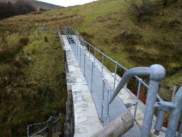
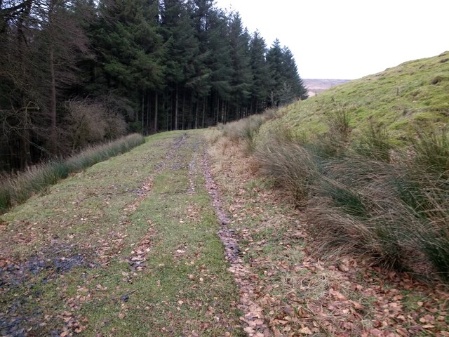
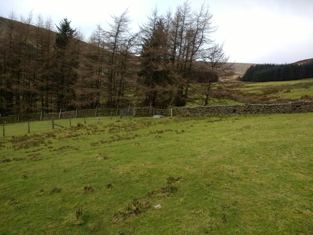
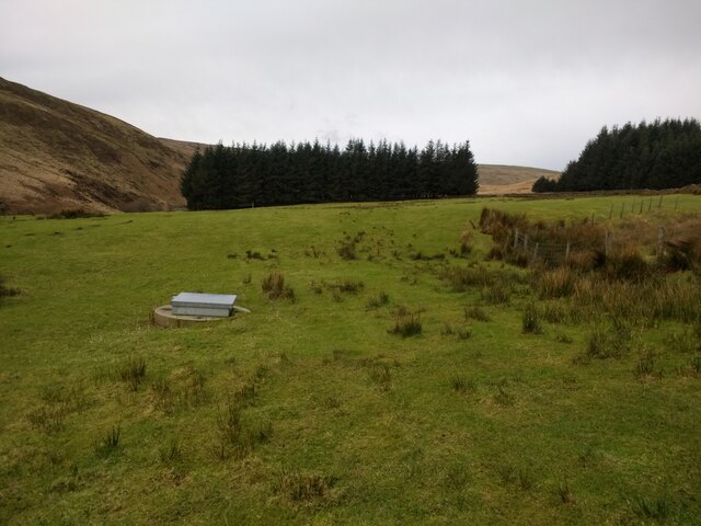
Whitendale Fell Images
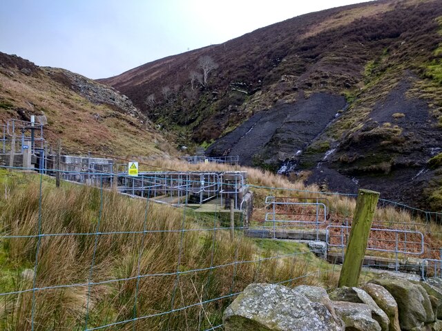
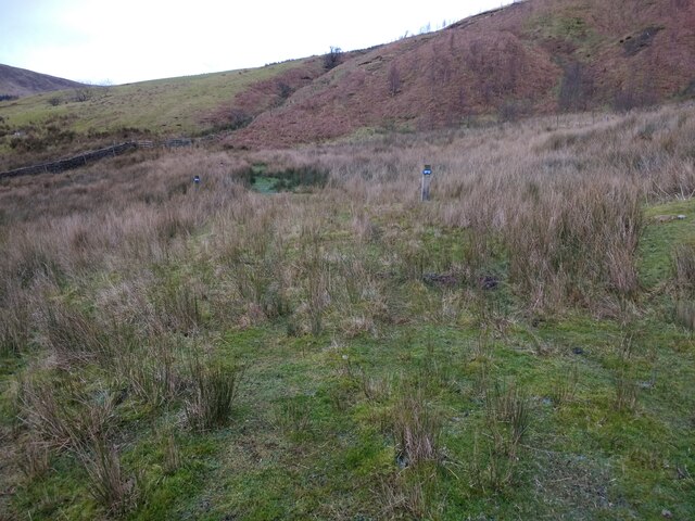
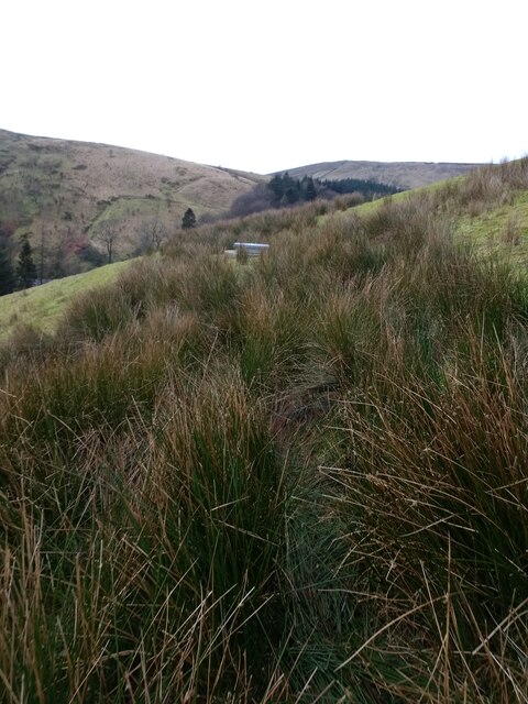
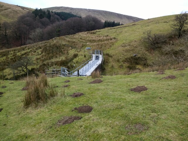
Images are sourced within 2km of 53.998102/-2.5166969 or Grid Reference SD6655. Thanks to Geograph Open Source API. All images are credited.
Whitendale Fell is located at Grid Ref: SD6655 (Lat: 53.998102, Lng: -2.5166969)
Division: West Riding
Administrative County: Lancashire
District: Ribble Valley
Police Authority: Lancashire
What 3 Words
///juror.ankle.presuming. Near High Bentham, North Yorkshire
Nearby Locations
Related Wikis

Geography of the United Kingdom
The United Kingdom is a sovereign state located off the north-western coast of continental Europe. With a total area of approximately 248,532 square kilometres...

Brennand Farm
Brennand Farm is often claimed to be the true centre of Great Britain. This is about seven kilometres north-west of Dunsop Bridge - which has the nearest...

White Hill (Forest of Bowland)
White Hill is a hill in the Forest of Bowland, north-western England. It lies between Slaidburn and High Bentham. The summit houses a tower and a trig...

Wolfhole Crag
Wolfhole Crag is an isolated and seldom-visited hill in the Forest of Bowland in Lancashire, England. Its seclusion is due in part to its low profile and...
Nearby Amenities
Located within 500m of 53.998102,-2.5166969Have you been to Whitendale Fell?
Leave your review of Whitendale Fell below (or comments, questions and feedback).