Ancaster
Settlement in Lincolnshire South Kesteven
England
Ancaster

Ancaster is a small village located in the county of Lincolnshire, England. Situated about 12 miles south of Lincoln, it lies on the eastern edge of the Vale of Belvoir. With a population of around 1,200 people, Ancaster is a relatively quiet and close-knit community.
The village has a rich history, dating back to Roman times. Evidence of Roman occupation can be seen in the form of a well-preserved Roman marching camp, known as the Ancaster Heath Roman Camp. This historical site attracts tourists and history enthusiasts from all over the country.
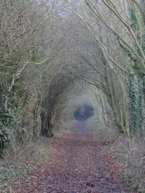
Ancaster is known for its picturesque countryside, offering residents and visitors alike the opportunity to explore the surrounding natural beauty. The village is dotted with charming cottages, old farmhouses, and traditional buildings, giving it a quaint and idyllic feel.
One of the standout features of Ancaster is its strong sense of community. The village boasts a range of local amenities, including a primary school, a church, a village hall, and a pub, which serve as meeting points for residents. The local community actively organizes events and activities throughout the year, fostering a close and friendly atmosphere.
For those seeking outdoor activities, Ancaster offers various opportunities. The nearby woodland and heathland provide ample space for walking, hiking, and birdwatching. Additionally, Ancaster is home to a popular golf course, attracting golf enthusiasts from the surrounding areas.
In summary, Ancaster is a charming village with a rich history, stunning natural surroundings, and a strong sense of community.
If you have any feedback on the listing, please let us know in the comments section below.
Ancaster Images
Images are sourced within 2km of 52.984089/-0.535143 or Grid Reference SK9843. Thanks to Geograph Open Source API. All images are credited.


Ancaster is located at Grid Ref: SK9843 (Lat: 52.984089, Lng: -0.535143)
Division: Parts of Kesteven
Administrative County: Lincolnshire
District: South Kesteven
Police Authority: Lincolnshire
What 3 Words
///narrowest.pricier.joke. Near Ancaster, Lincolnshire
Nearby Locations
Related Wikis

Ancaster (Roman town)
Ancaster was a small town in the Roman province of Britannia. It is sited on the Roman road known as the Ermine Street and is situated in the county of...
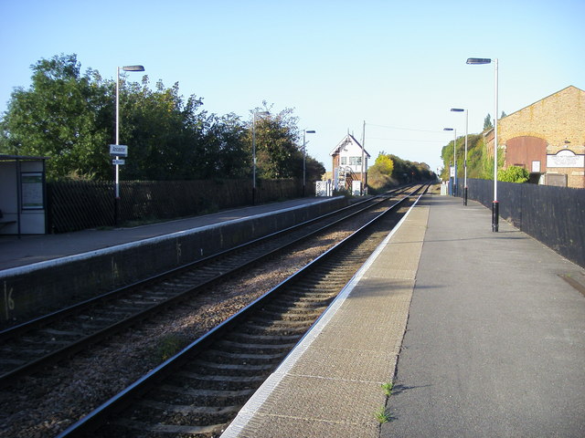
Ancaster railway station
Ancaster railway station serves the village of Ancaster in Lincolnshire, England. The station is 11.5 miles (19 km) north of Grantham on the Nottingham...
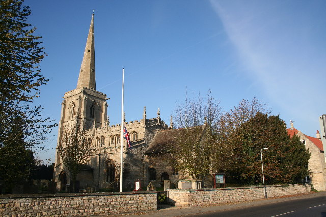
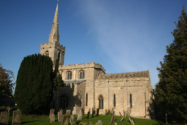
St Martin's Church, Ancaster
St Martin's Church is a Grade I listed Anglican church, dedicated to Martin of Tours, in Ancaster, Lincolnshire, England. The church is 6 miles (10 km...

Sudbrook, Lincolnshire
Sudbrook is a hamlet in the South Kesteven district of Lincolnshire, England. It is situated 12 miles (19 km) south-east of Newark-on-Trent, 6 miles (10...
Ancaster, Lincolnshire
Ancaster is a village and civil parish in the South Kesteven district of Lincolnshire, England, on the site of a Roman town. The population of the civil...
Wilsford, Lincolnshire
Wilsford is a village and civil parish in the North Kesteven district of Lincolnshire, England. The population of the civil parish was 400 at the 2011...
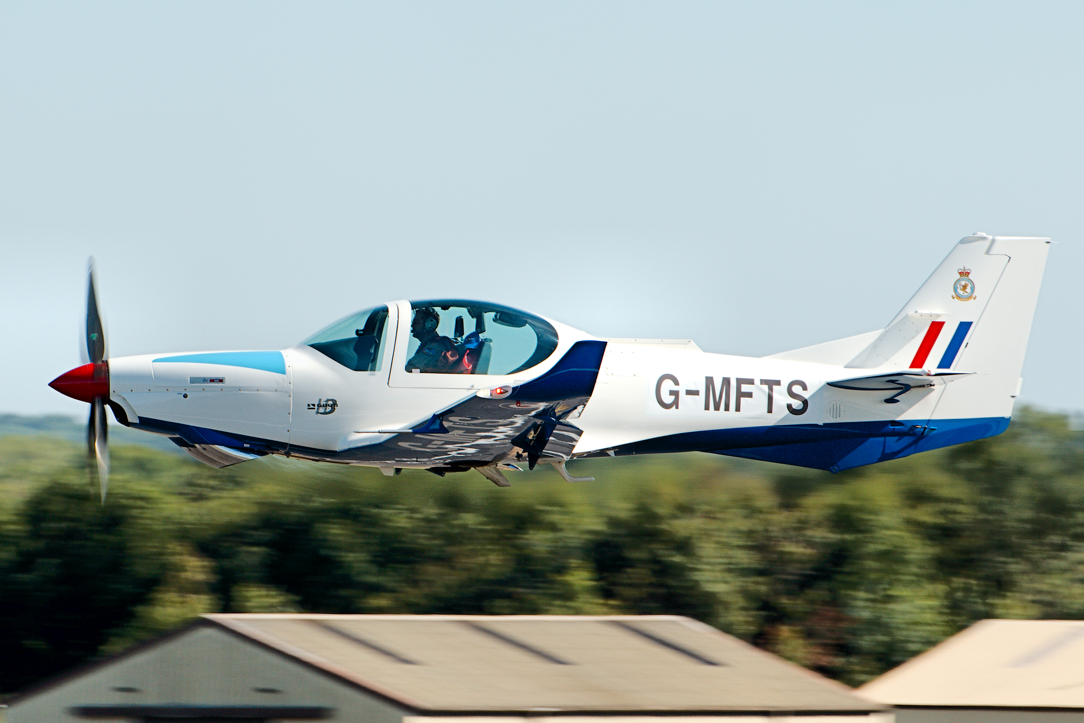
RAF Barkston Heath
Royal Air Force Barkston Heath or RAF Barkston Heath (ICAO: EGYE) is a Royal Air Force Relief Landing Ground under the command of RAF Cranwell near Grantham...

Kelby
Kelby is a hamlet in the North Kesteven district of Lincolnshire, England. It lies 5 miles (8 km) south-west from Sleaford, 9 miles (14 km) north-east...
Related Videos
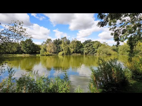
Ancaster Lake Walk, English Countryside 4K
https://www.buymeacoffee.com/Daveswalks All support is hugely appreciated and it helps me keep the channel going! No talking ...
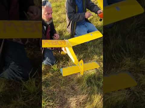
Bardney Flyers Free flight 2018.1
Gang of members on Saturday evening free flight fun.

1ST MOTORHOME HAPPINESS MEET 2021
Motorhome Happiness First Meet. A fantastic weekend meeting with lots of members from the Motorhome Happiness Facebook ...

Bardney Flyers Free flight 2018 2
Just some fun at the power nationals www.bardneyflyers.co.uk.
Nearby Amenities
Located within 500m of 52.984089,-0.535143Have you been to Ancaster?
Leave your review of Ancaster below (or comments, questions and feedback).