Annery Wood

Wood, Forest in Devon Torridge

England

Annery Wood

Tarka Trail using a disused railway bridge The Tarka Trail crosses the River Torridge.
Tarka Trail using a disused railway bridge Credit: David Smith

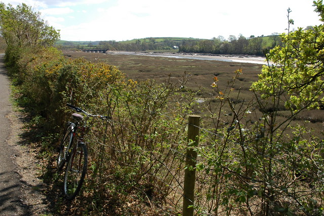
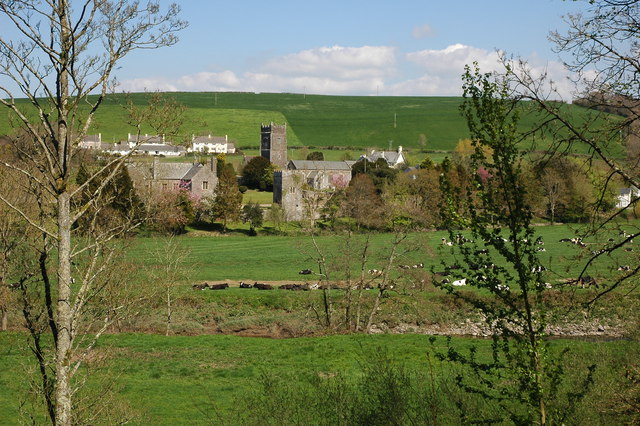
Annery Wood is a serene and picturesque woodland located in Devon, England. Spanning approximately 100 acres, this enchanting forest is nestled in the charming village of Monkleigh, near Bideford. Known for its rich biodiversity and tranquil ambiance, Annery Wood offers visitors a delightful escape from the hustle and bustle of everyday life.

The wood is predominantly composed of native broadleaf trees, such as oak, beech, and birch, creating a lush canopy that provides shade and shelter for a myriad of wildlife species. The forest floor is adorned with a vibrant carpet of bluebells in the spring, adding a burst of color to the already stunning landscape.

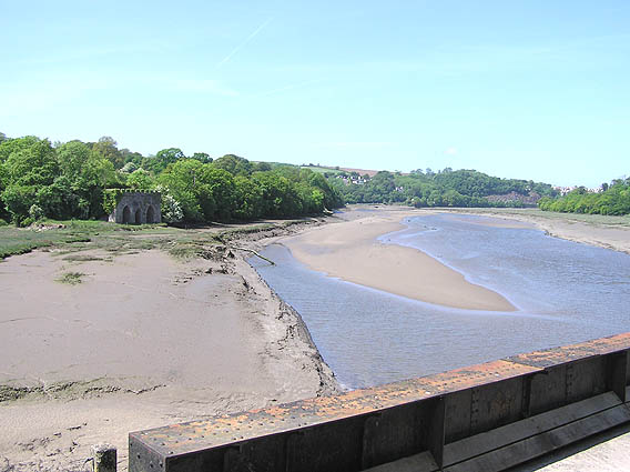
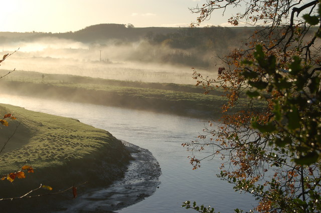
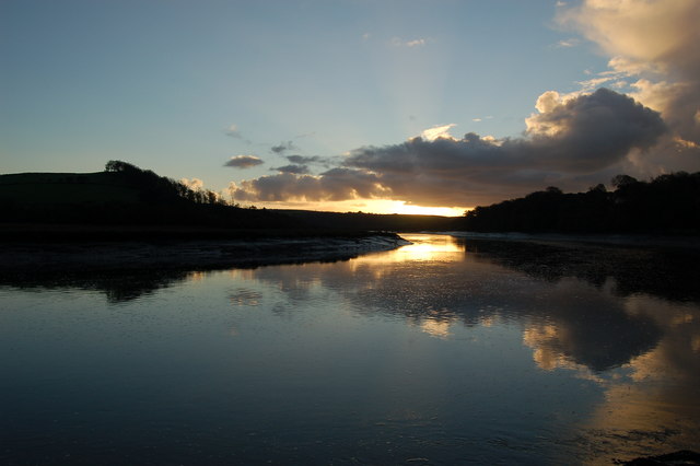
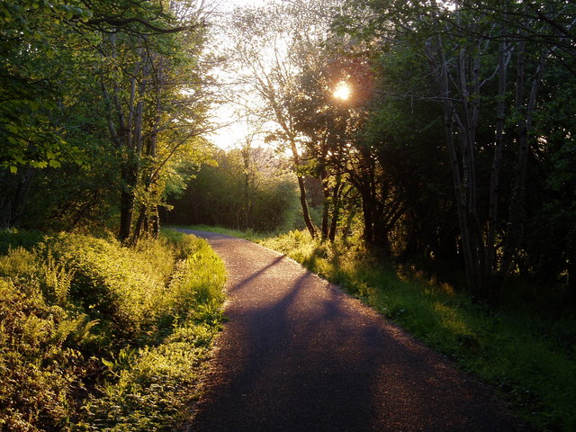
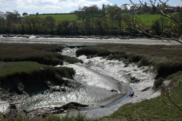
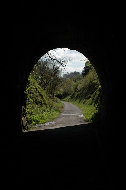
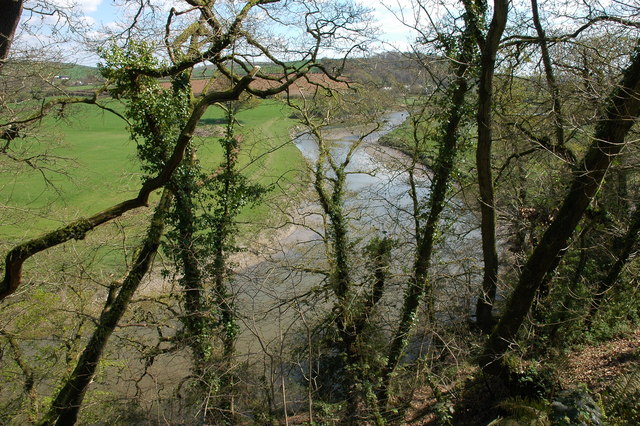
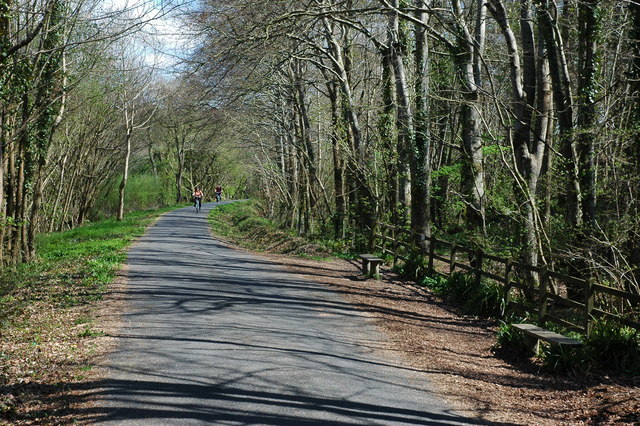
A network of well-maintained paths and trails wind through the wood, allowing visitors to explore its beauty at their own pace. Nature enthusiasts can spot a diverse range of flora and fauna, including deer, badgers, foxes, and a variety of bird species. The tranquil River Torridge meanders through the wood, offering a peaceful spot for picnics or a gentle stroll along its banks.

Annery Wood is not only a haven for wildlife but also a cherished recreational space for the local community. It provides a perfect setting for outdoor activities, such as hiking, cycling, and nature walks. It also serves as an educational resource, with guided tours and workshops available to enhance visitors' understanding and appreciation of the woodland ecosystem.

Overall, Annery Wood is a true gem in the heart of Devon. Its natural beauty, diverse wildlife, and serene atmosphere make it a must-visit destination for nature lovers and those seeking a peaceful retreat amidst the wonders of the great outdoors.

If you have any feedback on the listing, please let us know in the comments section below.
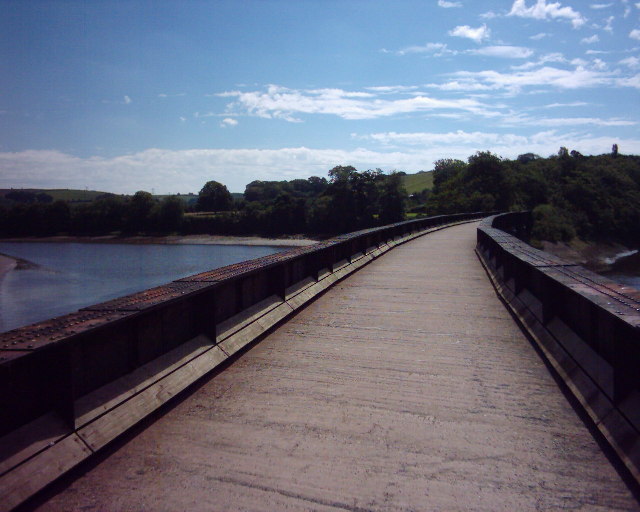
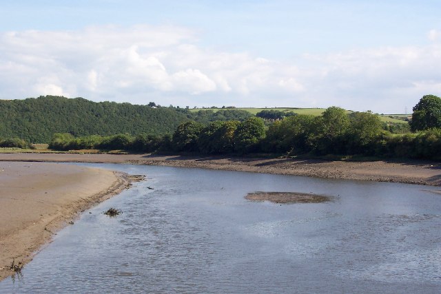
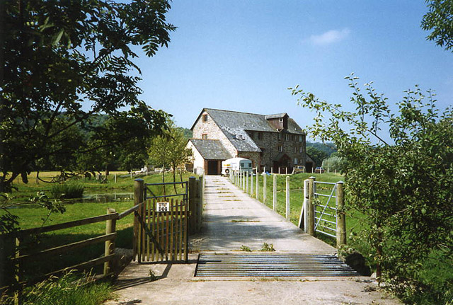
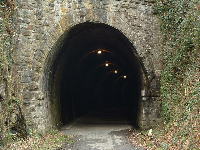
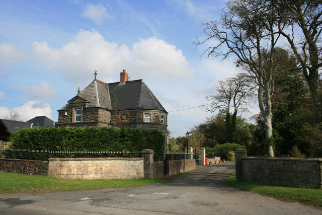
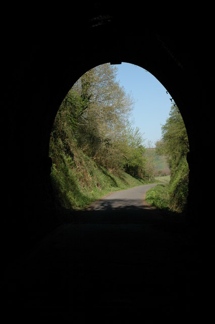
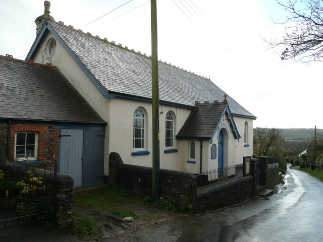
Annery Wood Images

Images are sourced within 2km of 50.985078/-4.2005004 or Grid Reference SS4522. Thanks to Geograph Open Source API. All images are credited.

Tarka Trail using a disused railway bridge The Tarka Trail crosses the River Torridge.
Tarka Trail using a disused railway bridge
The Tarka Trail crosses the River Torridge.
Landcross, near Bideford Looking upstream from the Landcross Viaduct on the Tarka Trail. It is here that The Pool of Six Herons is set in the book "Tarka The Otter" by Henry Williamson.
Landcross, near Bideford
Looking upstream from the Landcross Viaduct on the Tarka Trail. It is here that The Pool of Six Herons is set in the book "Tarka The Otter" by Henry Williamson.
Weare Giffard: Wear Mills On a leat by the river Torridge; in the 18th and 19th century barges would bring grain ‘on the top of the tide’ from Bideford. By 1889 the mill was fitted with a turbine and roller milling machinery by Henry Simon of Manchester; the turbine was appropriate as the Torridge is liable to flood. The mill has been converted to a private residence
Weare Giffard: Wear Mills
On a leat by the river Torridge; in the 18th and 19th century barges would bring grain ‘on the top of the tide’ from Bideford. By 1889 the mill was fitted with a turbine and roller milling machinery by Henry Simon of Manchester; the turbine was appropriate as the Torridge is liable to flood. The mill has been converted to a private residence
Tarka Trail: Landcross tunnel
River Torridge from Landcross viaduct The old line from Barnstaple and Bideford to Halwill Junction
River Torridge from Landcross viaduct
The old line from Barnstaple and Bideford to Halwill Junction
River Torridge near Annery Kiln View of the River Torridge from just below the Tarka Trail looking west. Annery Kiln is in the distance (partially obscured in the mist). The start of the disused Rolle Canal (to Torrington) is just below where this picture was taken from (cannot be seen in this picture).
River Torridge near Annery Kiln
View of the River Torridge from just below the Tarka Trail looking west. Annery Kiln is in the distance (partially obscured in the mist). The start of the disused Rolle Canal (to Torrington) is just below where this picture was taken from (cannot be seen in this picture).
View of the Torridge from Little America View of the River Torridge at dawn from Little America (a corruption of 'Littleham Mere') looking towards the Iron Bridge (old railway bridge) on the Tarka Trail.
View of the Torridge from Little America
View of the River Torridge at dawn from Little America (a corruption of 'Littleham Mere') looking towards the Iron Bridge (old railway bridge) on the Tarka Trail.
The Tarka Trail near Weare Giffard The Tarka Trail cycle path near Weare Giffard. The path follows the route of the old Bideford - Torrington railway, the railway line closely follows the route of the Rolle Canal.
The Tarka Trail near Weare Giffard
The Tarka Trail cycle path near Weare Giffard. The path follows the route of the old Bideford - Torrington railway, the railway line closely follows the route of the Rolle Canal.
The river Torridge viewed from the Tarka Trail Here the Tarka Trail follows the course of a disused railway line. In the Background the railway bridge over the river can be seen. In the foreground is the bicycle I hired to cycle along the trail.
The river Torridge viewed from the Tarka Trail
Here the Tarka Trail follows the course of a disused railway line. In the Background the railway bridge over the river can be seen. In the foreground is the bicycle I hired to cycle along the trail.
Low tide on the river Torridge Viewed from the Tarka Trail.
Low tide on the river Torridge
Viewed from the Tarka Trail.
The Landcross Tunnel on the Tarka Trail View out of the northern end of the Landcross Tunnel. The former railway line is the route of the Tarka Trail and is an excellent cycleway.
The Landcross Tunnel on the Tarka Trail
View out of the northern end of the Landcross Tunnel. The former railway line is the route of the Tarka Trail and is an excellent cycleway.
The Landcross Tunnel on the Tarka Trail View out of the southern end of the Landcross Tunnel on the Tarka Trail.
The Landcross Tunnel on the Tarka Trail
View out of the southern end of the Landcross Tunnel on the Tarka Trail.
The River Torridge near Landcross The River Torridge viewed from the Tarka Trail just to the south of the Landcross Tunnel.
The River Torridge near Landcross
The River Torridge viewed from the Tarka Trail just to the south of the Landcross Tunnel.
Weare Giffard Weare Giffard viewed from the Tarka Trail across the Torridge valley, in the centre is the church of Holy Trinity.
Weare Giffard
Weare Giffard viewed from the Tarka Trail across the Torridge valley, in the centre is the church of Holy Trinity.
The Tarka Trail near Weare Giffard
In the Landcross Tunnel The tunnel is cycled through on the Tarka Trail.
In the Landcross Tunnel
The tunnel is cycled through on the Tarka Trail.
Entrance to Petticombe Manor Looks a bit past its best
Entrance to Petticombe Manor
Looks a bit past its best
Gatehouse to Annery
Gatehouse to Annery
Show me another place!

Annery Wood is located at Grid Ref: SS4522 (Lat: 50.985078, Lng: -4.2005004)

Administrative County: Devon

District: Torridge

Police Authority: Devon and Cornwall

What 3 Words

///though.valid.bitters. Near Bideford, Devon

Related Wikis

Annery, Monkleigh

Annery was an historic estate in the parish of Monkleigh, North Devon. It was one of the original endowments of Tavistock Abbey, founded in 961. The first...

Annery kiln

Annery kiln is a former limekiln of the estate of Annery, in the parish of Monkleigh, North Devon. It is situated on the left bank of the River Torridge...

Landcross, Devon

Landcross is a hamlet and civil parish in the local government district of Torridge, Devon, England. The parish, which is the smallest in Devon, lies just...

Littleham

Littleham is a village and civil parish in the Torridge district of north Devon in south west England, about 3 miles (4.8 km) south of Bideford. The parish...

Nearby Amenities

Located within 500m of 50.985078,-4.2005004
Power: tower
Lat/Long: 50.9878815/-4.2023025
Power: tower
Lat/Long: 50.9856257/-4.2075928
Power: tower
Lat/Long: 50.9868414/-4.2045673
Power: tower
Lat/Long: 50.9891934/-4.1991134
Power: tower
Source: bing
Lat/Long: 50.985437/-4.2062004
Direction: S
Generator Method: photovoltaic
Generator Output Electricity: yes
Generator Solar Modules: 7
Generator Source: solar
Generator Type: solar_photovoltaic_panel
Location: roof
Power: generator
Lat/Long: 50.9848893/-4.2029518
The data included in this document is from www.openstreetmap.org. The data is made available under ODbL.

Have you been to Annery Wood?

Leave your review of Annery Wood below (or comments, questions and feedback).