West Annery Coppice

Wood, Forest in Devon Torridge

England

West Annery Coppice

Tarka Trail: Landcross tunnel
Tarka Trail: Landcross tunnel Credit: Grant Sherman

West Annery Coppice is a picturesque woodland located in Devon, England. Covering an area of approximately 30 acres, this ancient coppice is a haven for nature enthusiasts and those seeking tranquility amidst the beauty of the natural world.

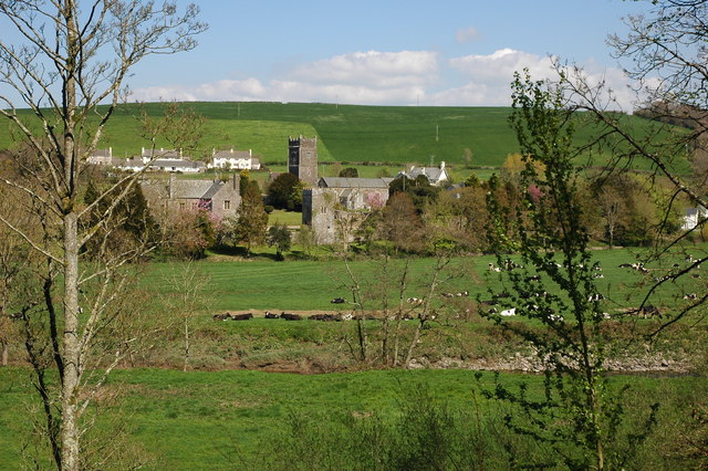
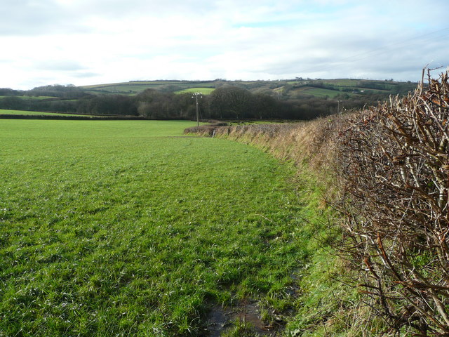
Situated near the village of Monkleigh, West Annery Coppice is home to a diverse range of flora and fauna. The woodland is primarily composed of oak and hazel trees, with an understory of bluebells, primroses, and wild garlic that bloom in the spring, creating a vibrant carpet of color.

The coppice has a rich history that dates back centuries. It was originally managed for its timber and wood products, with oak poles and hazel rods being harvested for various uses such as fencing and fuel. Today, the woodland is managed sustainably, ensuring the continued health and diversity of the ecosystem.

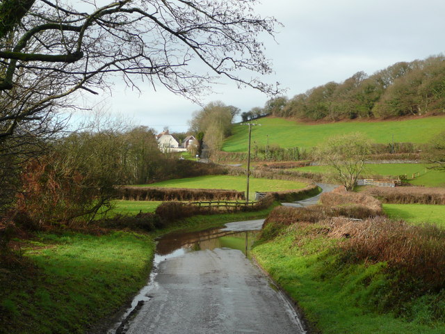
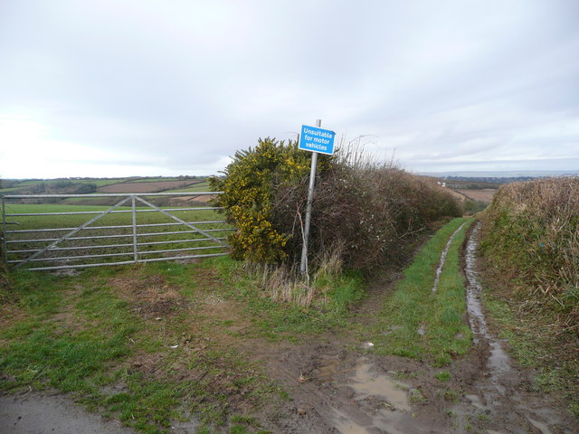
Visitors to West Annery Coppice can enjoy peaceful walks along the well-maintained footpaths that wind through the woodland. The serene atmosphere is enhanced by the gentle sound of birdsong and the occasional rustling of wildlife in the undergrowth. The coppice is also a popular spot for birdwatching, with species such as woodpeckers, nuthatches, and tawny owls frequently spotted.

West Annery Coppice is a cherished natural gem in Devon, offering a tranquil escape from the hustle and bustle of everyday life. Whether it's exploring the woodland's rich biodiversity, immersing oneself in the beauty of the changing seasons, or simply finding solace in nature, this enchanting coppice is sure to captivate all who visit.

If you have any feedback on the listing, please let us know in the comments section below.

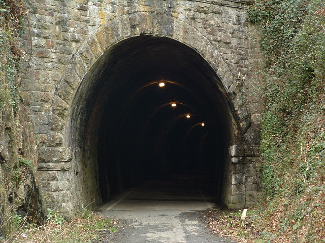
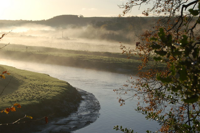
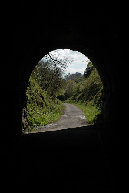
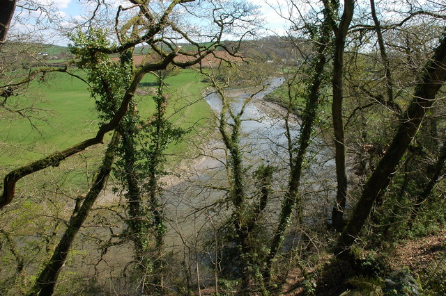
West Annery Coppice Images

Images are sourced within 2km of 50.983474/-4.2092297 or Grid Reference SS4522. Thanks to Geograph Open Source API. All images are credited.

Tarka Trail: Landcross tunnel
River Torridge near Annery Kiln View of the River Torridge from just below the Tarka Trail looking west. Annery Kiln is in the distance (partially obscured in the mist). The start of the disused Rolle Canal (to Torrington) is just below where this picture was taken from (cannot be seen in this picture).
River Torridge near Annery Kiln
View of the River Torridge from just below the Tarka Trail looking west. Annery Kiln is in the distance (partially obscured in the mist). The start of the disused Rolle Canal (to Torrington) is just below where this picture was taken from (cannot be seen in this picture).
The Landcross Tunnel on the Tarka Trail View out of the northern end of the Landcross Tunnel. The former railway line is the route of the Tarka Trail and is an excellent cycleway.
The Landcross Tunnel on the Tarka Trail
View out of the northern end of the Landcross Tunnel. The former railway line is the route of the Tarka Trail and is an excellent cycleway.
The Landcross Tunnel on the Tarka Trail View out of the southern end of the Landcross Tunnel on the Tarka Trail.
The Landcross Tunnel on the Tarka Trail
View out of the southern end of the Landcross Tunnel on the Tarka Trail.
The River Torridge near Landcross The River Torridge viewed from the Tarka Trail just to the south of the Landcross Tunnel.
The River Torridge near Landcross
The River Torridge viewed from the Tarka Trail just to the south of the Landcross Tunnel.
Weare Giffard Weare Giffard viewed from the Tarka Trail across the Torridge valley, in the centre is the church of Holy Trinity.
Weare Giffard
Weare Giffard viewed from the Tarka Trail across the Torridge valley, in the centre is the church of Holy Trinity.
In the Landcross Tunnel The tunnel is cycled through on the Tarka Trail.
In the Landcross Tunnel
The tunnel is cycled through on the Tarka Trail.
Entrance to Petticombe Manor Looks a bit past its best
Entrance to Petticombe Manor
Looks a bit past its best
Gatehouse to Annery
Gatehouse to Annery
Arable land west of Monkleigh View north of the lane to Buckland. Typical Devon hedge cut wide and flat, with the road indented.
Arable land west of Monkleigh
View north of the lane to Buckland. Typical Devon hedge cut wide and flat, with the road indented.
Looking south-west Across the wooded Duntz valley with the village of Buckland Brewer on the hilltop in the distance.
Looking south-west
Across the wooded Duntz valley with the village of Buckland Brewer on the hilltop in the distance.
The Yeo Valley Near the confluence with the Duntz at Orleigh Mills.
The Yeo Valley
Near the confluence with the Duntz at Orleigh Mills.
River Yeo near Edge Mill The bend in the river is strongly built up to protect gardens to the left and behind the house.
River Yeo near Edge Mill
The bend in the river is strongly built up to protect gardens to the left and behind the house.
Unsuitable for motors Many green lanes in Devon carry this sign - doesn't seem to put some folks off though. Note the gorse in bloom.
Unsuitable for motors
Many green lanes in Devon carry this sign - doesn't seem to put some folks off though. Note the gorse in bloom.
Littleham playing field The village is a strung-out community; the centre being a half mile from here to the south-west.
Littleham playing field
The village is a strung-out community; the centre being a half mile from here to the south-west.
New thatched cottages Modern buildings in the village of Littleham.
New thatched cottages
Modern buildings in the village of Littleham.
Farm by Rudha Bridge Looking east away from the bridge.
Farm by Rudha Bridge
Looking east away from the bridge.
View south from Nethercleave Looking south-east across the Yeo Valley from just outside the gridsquare.
View south from Nethercleave
Looking south-east across the Yeo Valley from just outside the gridsquare.
Show me another place!

West Annery Coppice is located at Grid Ref: SS4522 (Lat: 50.983474, Lng: -4.2092297)

Administrative County: Devon

District: Torridge

Police Authority: Devon and Cornwall

What 3 Words

///hockey.suitcase.piston. Near Bideford, Devon

Related Wikis

Annery, Monkleigh

Annery was an historic estate in the parish of Monkleigh, North Devon. It was one of the original endowments of Tavistock Abbey, founded in 961. The first...

Annery kiln

Annery kiln is a former limekiln of the estate of Annery, in the parish of Monkleigh, North Devon. It is situated on the left bank of the River Torridge...
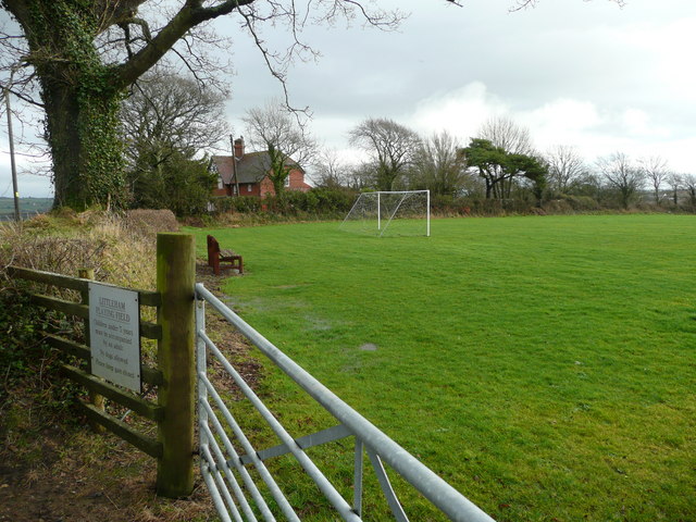
Littleham

Littleham is a village and civil parish in the Torridge district of north Devon in south west England, about 3 miles (4.8 km) south of Bideford. The parish...
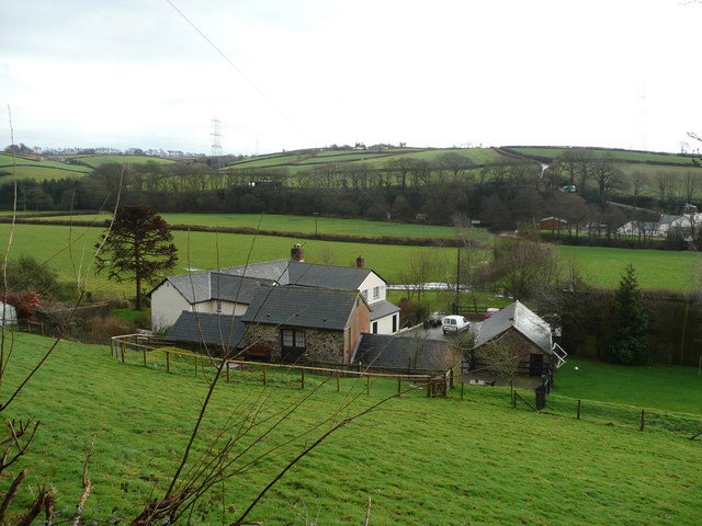
Landcross, Devon

Landcross is a hamlet and civil parish in the local government district of Torridge, Devon, England. The parish, which is the smallest in Devon, lies just...
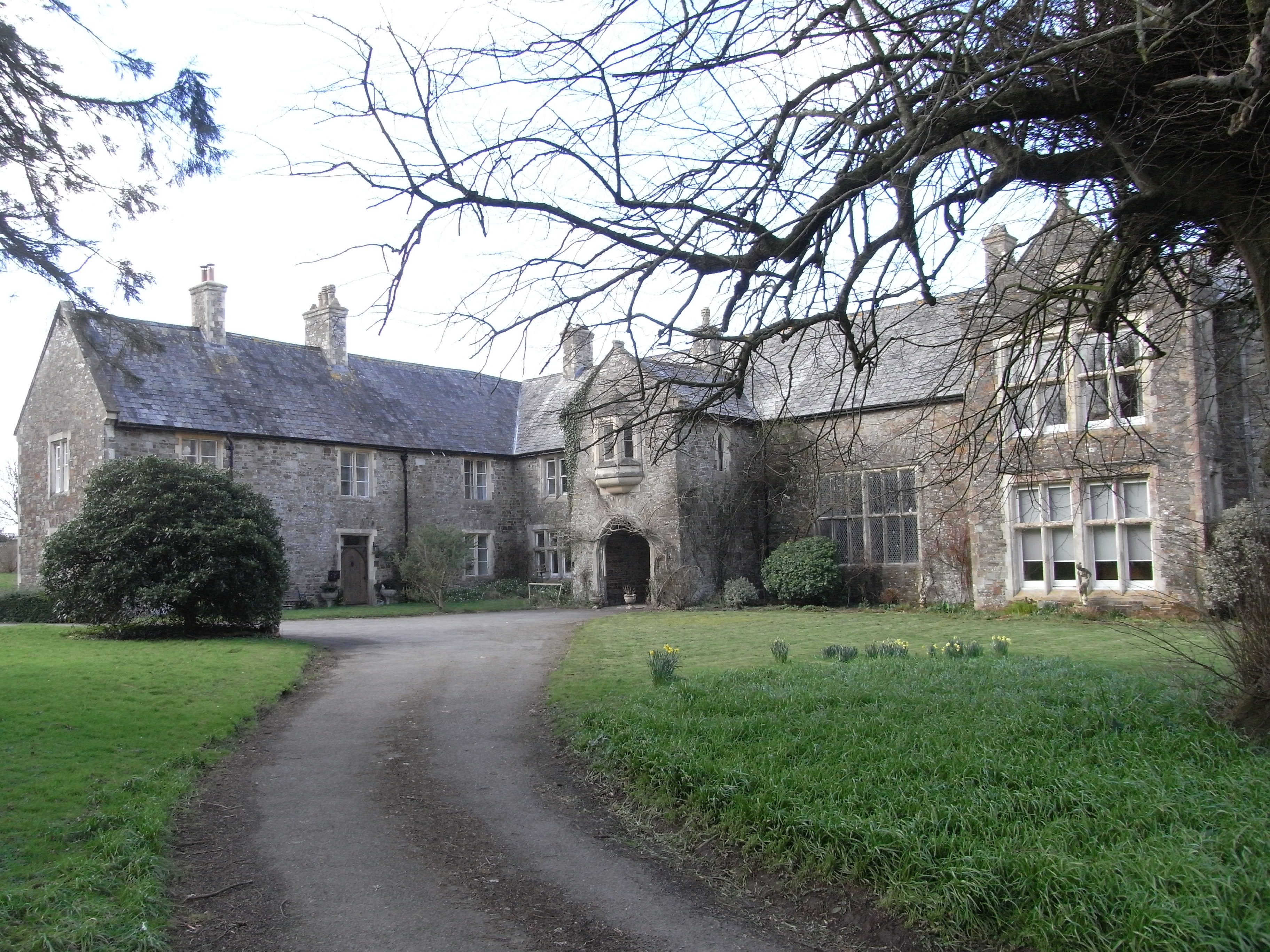
Orleigh Court

Orleigh Court is a late medieval manor house in the parish of Buckland Brewer about 4 miles (6.4 km) south-west of Bideford, North Devon, England. It is...

Manor of Orleigh

Orleigh is a historic manor in the parish of Buckland Brewer, situated 4 miles to the south west of Bideford, North Devon, England. The manor house is...
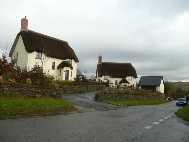
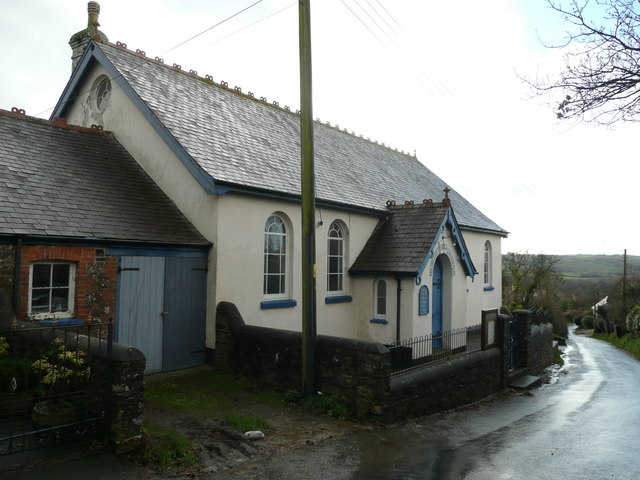
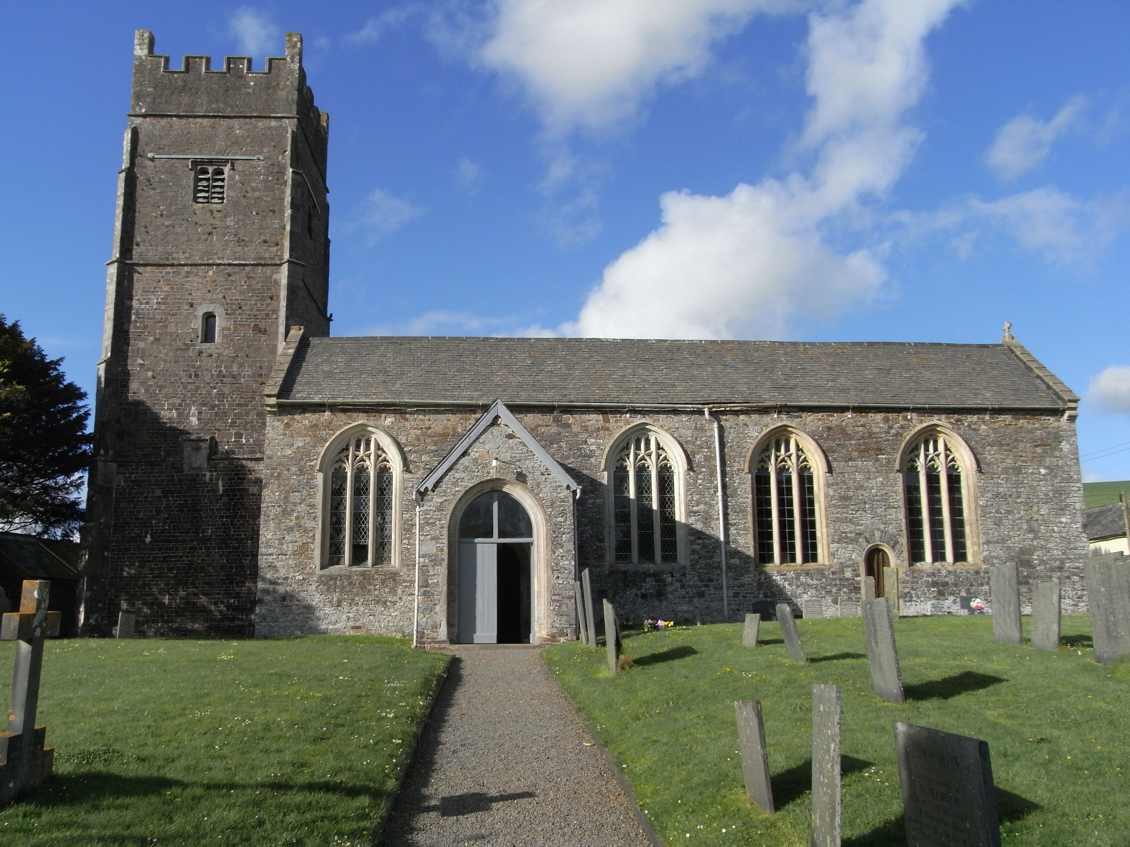
Monkleigh

Monkleigh is a village, parish and former manor in north Devon, England, situated 2 1/2 miles north-west of Great Torrington and 3 1/2 miles south-east...
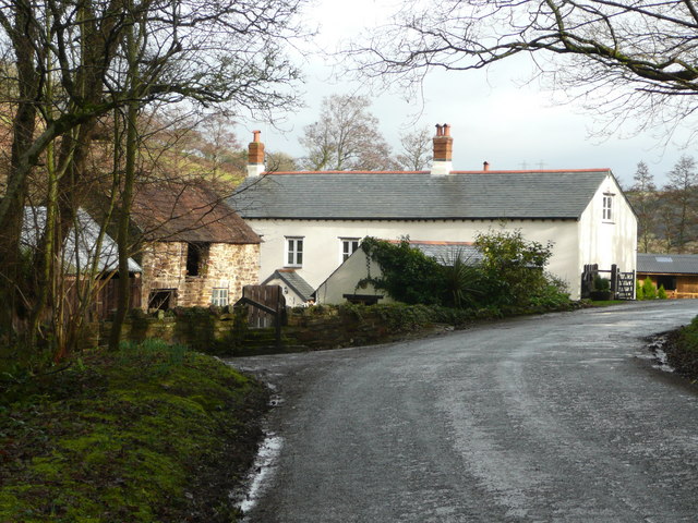
Weare Giffard

Weare Giffard is a small village, civil parish and former manor in the Torridge district, in north Devon, England. The church and manor house are situated...

Nearby Amenities

Located within 500m of 50.983474,-4.2092297
Power: tower
Lat/Long: 50.9856257/-4.2075928
Power: tower
Lat/Long: 50.9829645/-4.2132791
Power: tower
Lat/Long: 50.9868414/-4.2045673
Power: tower
Lat/Long: 50.9845273/-4.210056
Power: tower
Source: bing
Lat/Long: 50.983501/-4.2073321
Power: tower
Source: bing
Lat/Long: 50.985437/-4.2062004
Power: tower
Lat/Long: 50.9816027/-4.2084162
Direction: S
Generator Method: photovoltaic
Generator Output Electricity: yes
Generator Solar Modules: 7
Generator Source: solar
Generator Type: solar_photovoltaic_panel
Location: roof
Power: generator
Lat/Long: 50.9848893/-4.2029518
The data included in this document is from www.openstreetmap.org. The data is made available under ODbL.

Have you been to West Annery Coppice?

Leave your review of West Annery Coppice below (or comments, questions and feedback).