Ogbear Wood

Wood, Forest in Devon West Devon

England

Ogbear Wood

One of the paths in the Tamar Trails The positions are a best guess and are on the path heading towards the site of Wheal Emma.
One of the paths in the Tamar Trails Credit: Chris Allen

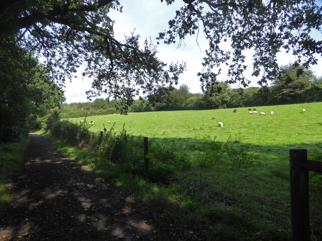
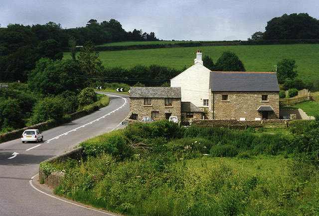
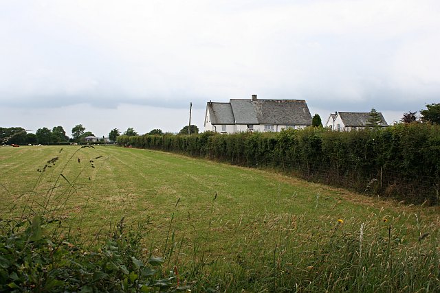
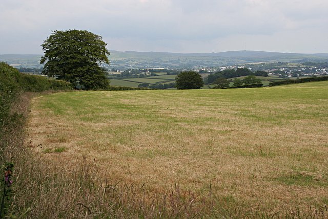
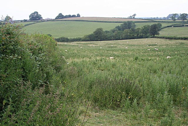
Ogbear Wood, located in Devon, England, is a picturesque and enchanting forest situated in the heart of the county. Covering an area of approximately 100 acres, this wood is renowned for its natural beauty and diverse ecosystem.

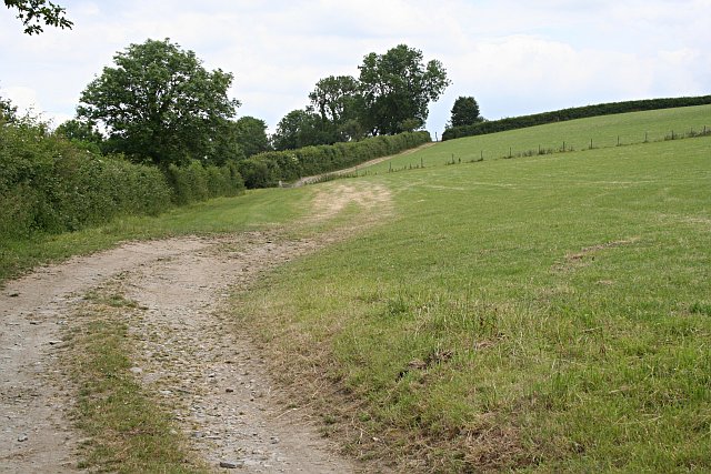
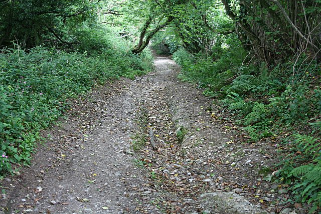
The woodland is primarily composed of broadleaf trees, including oak, beech, and ash, which create a dense canopy overhead, providing shelter for a wide variety of wildlife. The forest floor is adorned with a rich carpet of ferns, mosses, and wildflowers, creating a vibrant and colorful undergrowth.

Walking through Ogbear Wood, visitors can enjoy the tranquility and serenity of nature, as well as the melodic sounds of birdsong. The wood is a haven for numerous bird species, including woodpeckers, thrushes, and owls, making it an ideal location for birdwatching enthusiasts.

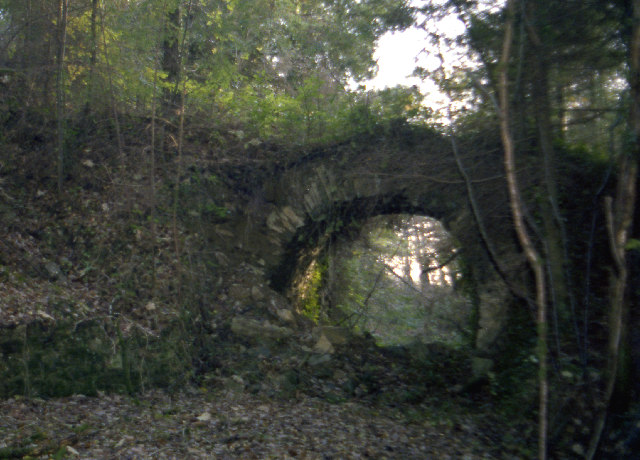
In addition to its natural beauty, Ogbear Wood is also steeped in history. It is believed to have been part of a larger ancient forest that once covered the region. Remnants of old stone walls and boundary markers can be found within the wood, hinting at its historical significance.

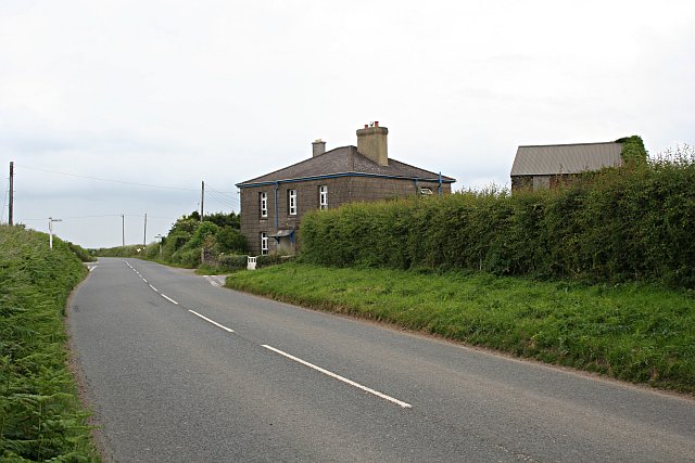
Ogbear Wood is a popular destination for nature lovers, hikers, and photographers, offering a peaceful retreat away from the hustle and bustle of everyday life. The wood is accessible via well-maintained footpaths and boasts a small car park for visitors’ convenience.

Overall, Ogbear Wood is a hidden gem in Devon, offering a truly immersive and enchanting experience in the heart of nature.

If you have any feedback on the listing, please let us know in the comments section below.
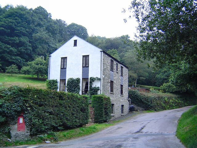
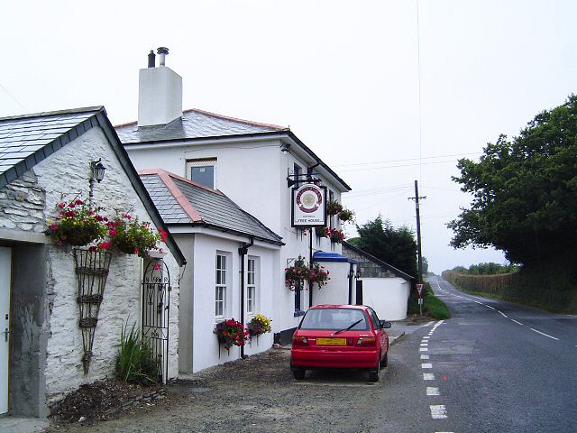
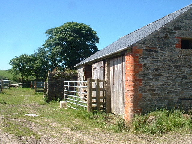
Ogbear Wood Images

Images are sourced within 2km of 50.54979/-4.1880828 or Grid Reference SX4574. Thanks to Geograph Open Source API. All images are credited.

One of the paths in the Tamar Trails The positions are a best guess and are on the path heading towards the site of Wheal Emma.
One of the paths in the Tamar Trails
The positions are a best guess and are on the path heading towards the site of Wheal Emma.
Road to Lamerton and view to Dartmoor
View towards Lamerton from south-west
St Paul's Church
St Paul's Church
House at Millhill
House at Millhill
The Chipshop Inn Chipshop has nothing to do with fish and chips. The name refers to the "chips" that miners used to use with which to buy things.
The Chipshop Inn
Chipshop has nothing to do with fish and chips. The name refers to the "chips" that miners used to use with which to buy things.
Disused  railway bridge, Wheal Emma, 1979 The photo was taken from the trackbed of the abandoned standard gauge mineral railway, looking south.  In 1979 the embankment to the bridge, (marked FB on the OS Explorer map), is partially collapsed. The railway ran high above the Devon bank of the Tamar, from the former Devon Great Consols mine, south to Morwell Down where the mineral ores were winched down the inclined plane to Morwellham quay.
Disused railway bridge, Wheal Emma, 1979
The photo was taken from the trackbed of the abandoned standard gauge mineral railway, looking south. In 1979 the embankment to the bridge, (marked FB on the OS Explorer map), is partially collapsed. The railway ran high above the Devon bank of the Tamar, from the former Devon Great Consols mine, south to Morwell Down where the mineral ores were winched down the inclined plane to Morwellham quay.
Outbuildings at Stilesweek In the farmland around Tavistock above the river Lumburn.
Outbuildings at Stilesweek
In the farmland around Tavistock above the river Lumburn.
Gulworthy: Lumburn Mill Now a house conversion. A branch of the Tavistock Canal used to run behind the buildings to quarries at Millhill. The road is the A390 from Tavistock to Callington
Gulworthy: Lumburn Mill
Now a house conversion. A branch of the Tavistock Canal used to run behind the buildings to quarries at Millhill. The road is the A390 from Tavistock to Callington
Footpath along a Field Edge The line of the path seems to be marked more by the movement of agricultural vehicles than by people.
Footpath along a Field Edge
The line of the path seems to be marked more by the movement of agricultural vehicles than by people.
The Welcoming Committee I was glad there was a fence between me and these cattle as they looked quite frisky and aggressive.
The Welcoming Committee
I was glad there was a fence between me and these cattle as they looked quite frisky and aggressive.
Chipshop There is a pub, a farm and a few houses, but not a chipshop in sight!  The name for this hamlet may have come from old English words for log and workshop, either a log built workshop or a woodworker's shop (a chippies shop!).
Chipshop
There is a pub, a farm and a few houses, but not a chipshop in sight! The name for this hamlet may have come from old English words for log and workshop, either a log built workshop or a woodworker's shop (a chippies shop!).
Grass and Houses The field has been cut for silage, the houses are quite large in an sit on their own in this farming landscape.
Grass and Houses
The field has been cut for silage, the houses are quite large in an sit on their own in this farming landscape.
Three Oaks A farmhouse along a B road. This road runs roughly north to south along the flat high land which marks the watershed between the Tamar and Tavy valleys.
Three Oaks
A farmhouse along a B road. This road runs roughly north to south along the flat high land which marks the watershed between the Tamar and Tavy valleys.
Grass Field and View This grass field has been cut for silage.  The view looks east over the Tavy Valley to the hills of Dartmoor in the distance.  The houses of Tavistock can be seen on the right.
Grass Field and View
This grass field has been cut for silage. The view looks east over the Tavy Valley to the hills of Dartmoor in the distance. The houses of Tavistock can be seen on the right.
Gulworthy Cross Most people passing through here will just know this as a roundabout but perhaps don't realise that the roundabout was built, at considerable cost, to replace the previous simple junction due to there being a very bad accident record at this point. Eleven collisions were recorded on the junction in the space of just two years. There is also a school here, a few yards along the road to the right. The proposal document for the roundabout scheme can be read here <span class="nowrap"><a title="http://www.devon.gov.uk/loadtrimdocument?url=&filename=ED/04/37/LSO.CMR&rn=10/WD130&dg=Public" rel="nofollow ugc noopener" href="http://www.devon.gov.uk/loadtrimdocument?url=&filename=ED/04/37/LSO.CMR&rn=10/WD130&dg=Public">Link</a><img style="margin-left:2px;" alt="External link" title="External link - shift click to open in new window" src="https://s1.geograph.org.uk/img/external.png" width="10" height="10"/></span>
Gulworthy Cross
Most people passing through here will just know this as a roundabout but perhaps don't realise that the roundabout was built, at considerable cost, to replace the previous simple junction due to there being a very bad accident record at this point. Eleven collisions were recorded on the junction in the space of just two years. There is also a school here, a few yards along the road to the right. The proposal document for the roundabout scheme can be read here LinkExternal link
Unsuitable For Motors The modern A road zig-zags its way down the long hill from Gullworthy into the Tavy Valley but a much older road, of which this is a section, took a more direct approach, straight down the hill.  The modern road crosses this one in three places.
Unsuitable For Motors
The modern A road zig-zags its way down the long hill from Gullworthy into the Tavy Valley but a much older road, of which this is a section, took a more direct approach, straight down the hill. The modern road crosses this one in three places.
Undergrazed Field This field has sheep grazing in it, but the number of thistles growing in it suggests that it is not regularly used.
Undergrazed Field
This field has sheep grazing in it, but the number of thistles growing in it suggests that it is not regularly used.
Show me another place!

Ogbear Wood is located at Grid Ref: SX4574 (Lat: 50.54979, Lng: -4.1880828)

Administrative County: Devon

District: West Devon

Police Authority: Devon and Cornwall

What 3 Words

///trappings.proud.wonderful. Near Tavistock, Devon

Nearby Locations

Millhill Ogbear Wood

Related Wikis

Chipshop

Chipshop is a hamlet in the civil parish of Lamerton in the West Devon district of Devon, England. Its nearest town is Tavistock, which lies approximately...
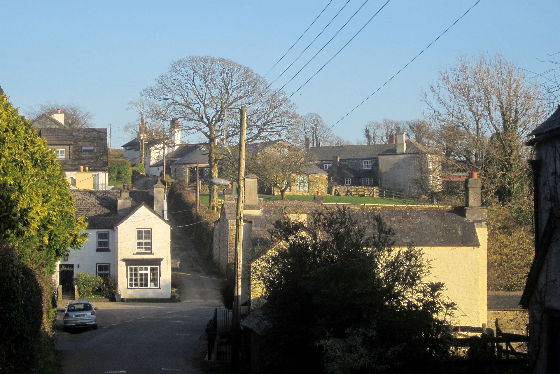
Lamerton

Lamerton is a village and civil parish located 3 miles north-west of the town of Tavistock, in the West Devon district, in the county of Devon, England...

Tavistock College

Tavistock College is a coeducational secondary school and sixth form located in Tavistock, Devon, England. There were (as of April 2020) approximately...

Tavistock railway station

Tavistock railway station is a proposed new station to serve Tavistock in Devon, England, in order to reinstate a rail connection between the town and...

Tiddy Brook Meadows, Devon

Tiddy Brook Meadows,(sometimes called Tiddybrook Meadows) is a settlement in Devon. It lies south of Whitchurch and just east of Tavistock, and sits on...

Tavistock

Tavistock ( TAV-iss-tok) is an ancient stannary and market town within West Devon, England. It is situated on the River Tavy from which its name derives...

Devon Great Consols

Devon Great Consols was a copper mine near Tavistock in Devon. The lease on the site was taken from the Duke of Bedford in 1844 by a group of investors...

Tavistock A.F.C.

Tavistock Association Football Club is a football club based in Tavistock, Devon, England. They play in the Southern League Division One South. == History... ==

Nearby Amenities

Located within 500m of 50.54979,-4.1880828
Millhill
Place: hamlet
Source: OS_OpenData_StreetView
Lat/Long: 50.5489933/-4.1857786
Direction: 170
Generator Method: photovoltaic
Generator Output Electricity: yes
Generator Solar Modules: 14
Generator Source: solar
Generator Type: solar_photovoltaic_panel
Location: roof
Power: generator
Lat/Long: 50.5459132/-4.1881415
Direction: 170
Generator Method: photovoltaic
Generator Output Electricity: yes
Generator Solar Modules: 14
Generator Source: solar
Generator Type: solar_photovoltaic_panel
Location: roof
Power: generator
Lat/Long: 50.545895/-4.1882688
Post Box
Brand: Royal Mail
Brand Wikidata: Q638098
Brand Wikipedia: en:Royal Mail
Collection Times: Mo-Fr 16:30; Sa 09:15; Su off
Operator: Royal Mail
Operator Wikidata: Q638098
Post Box Design: type_b
Post Box Mounting: brick_pillar
Post Box Type: wall
Ref: PL19 42
Royal Cypher: GR
Royal Cypher Wikidata: Q33102273
Source: survey;streetlevel imagery;aerial imagery
Lat/Long: 50.5512454/-4.1859742
The data included in this document is from www.openstreetmap.org. The data is made available under ODbL.

Have you been to Ogbear Wood?

Leave your review of Ogbear Wood below (or comments, questions and feedback).