Thorne Wood

Wood, Forest in Devon Torridge

England

Thorne Wood

Weare Giffard: Wear Mills On a leat by the river Torridge; in the 18th and 19th century barges would bring grain ‘on the top of the tide’ from Bideford. By 1889 the mill was fitted with a turbine and roller milling machinery by Henry Simon of Manchester; the turbine was appropriate as the Torridge is liable to flood. The mill has been converted to a private residence
Weare Giffard: Wear Mills Credit: Martin Bodman

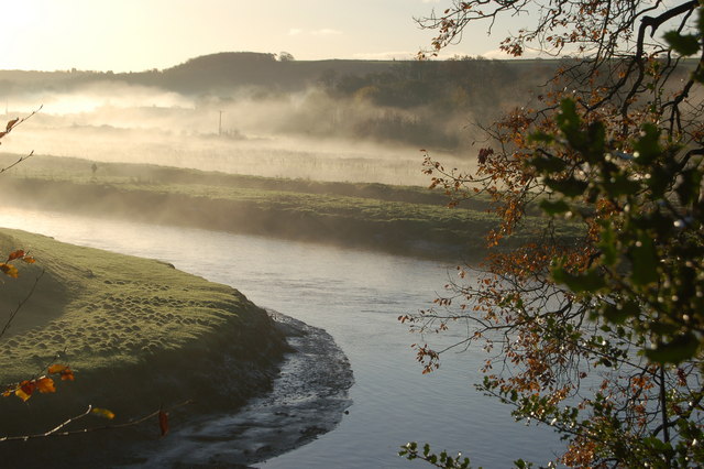
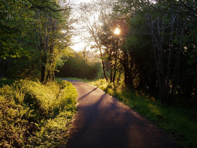
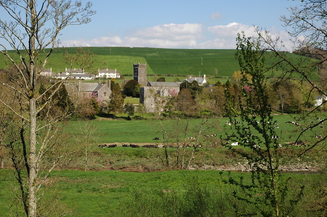
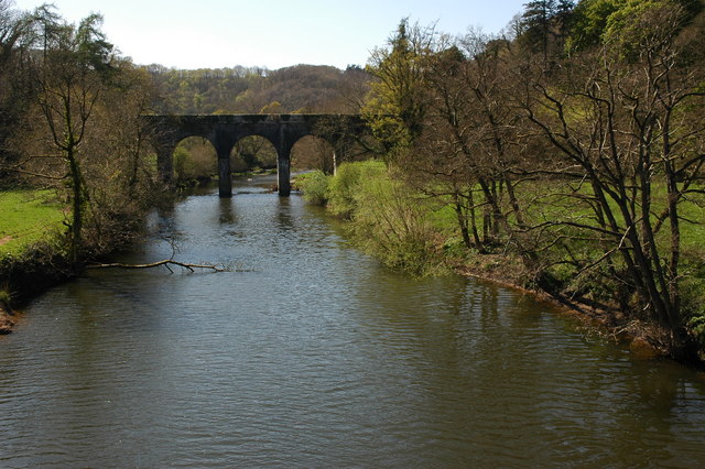
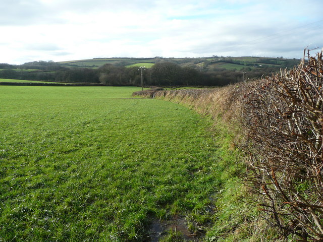
Thorne Wood is a picturesque woodland located in the county of Devon, England. Spanning an area of approximately 100 acres, it is a stunning example of natural beauty and tranquility. The wood is situated just a few miles outside the town of Devon and is easily accessible for visitors.

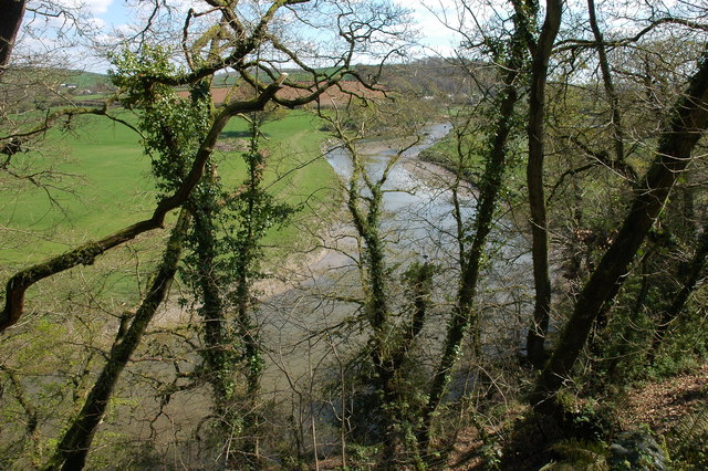
Thorne Wood is predominantly made up of a diverse range of deciduous trees, including oak, ash, beech, and birch. The dense canopy created by these majestic trees provides shelter and habitat for a variety of wildlife, making it a haven for nature enthusiasts and birdwatchers. Walking through the wood, visitors can expect to see an array of woodland creatures such as deer, squirrels, and a multitude of bird species.

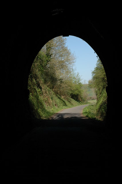
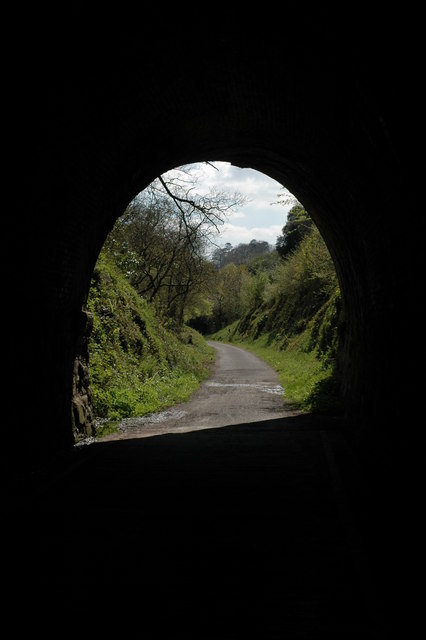
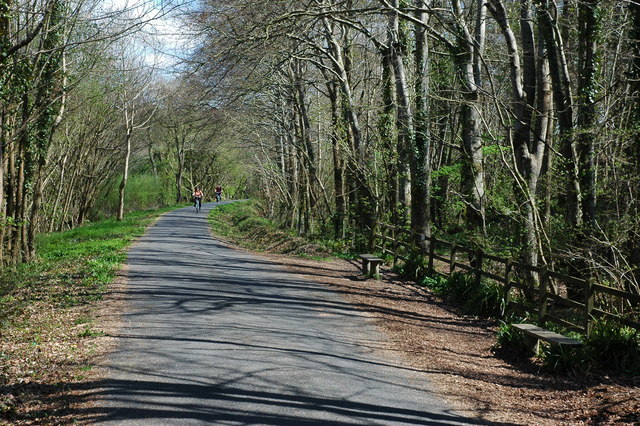
The wood boasts a network of well-maintained walking trails, allowing visitors to explore the enchanting surroundings at their own pace. These trails wind through the wood, revealing hidden pockets of wildflowers, trickling streams, and peaceful clearings perfect for a picnic or simply soaking in the serenity of the surroundings.

Thorne Wood is a popular destination for both locals and tourists alike, offering a peaceful escape from the hustle and bustle of everyday life. Whether it's a leisurely stroll, a family outing, or an opportunity to reconnect with nature, the wood provides a delightful experience for all who venture within its boundaries.

If you have any feedback on the listing, please let us know in the comments section below.
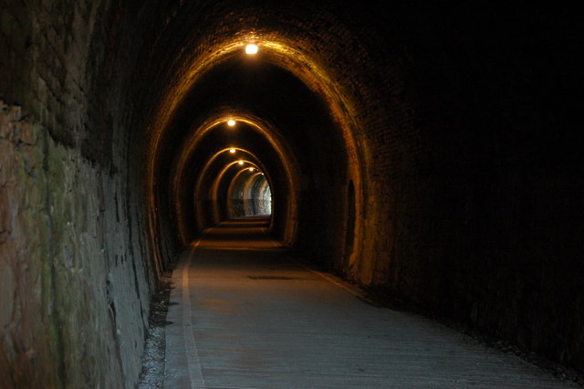
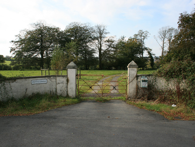
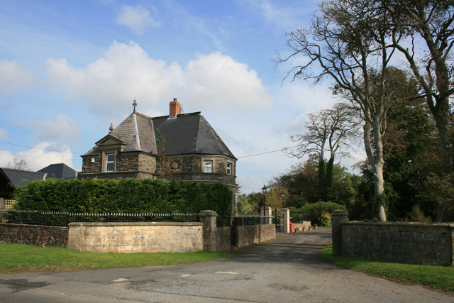
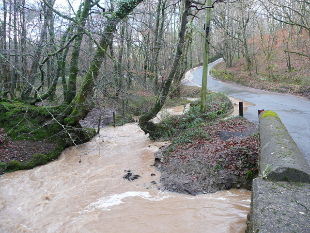
Thorne Wood Images

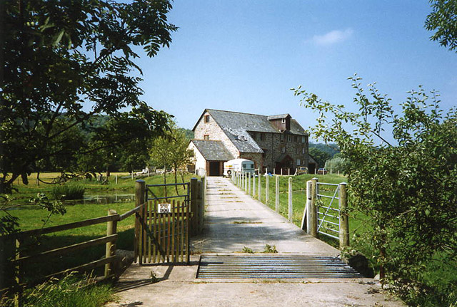
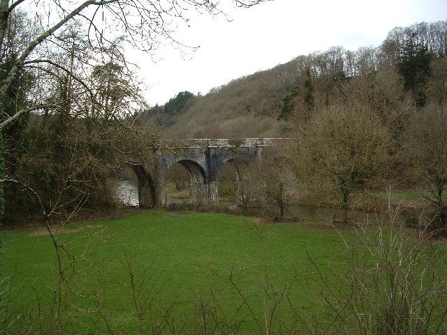
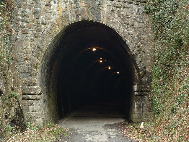
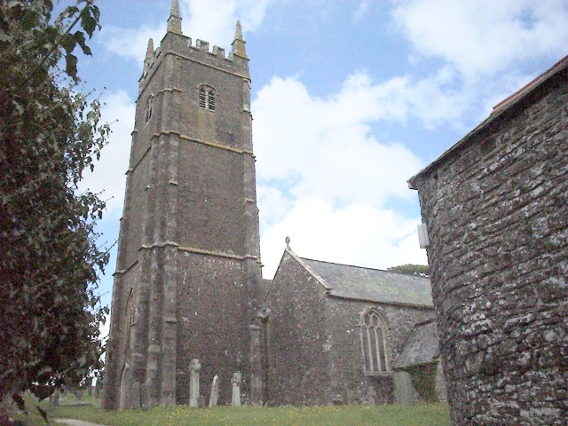
Images are sourced within 2km of 50.974538/-4.1995033 or Grid Reference SS4521. Thanks to Geograph Open Source API. All images are credited.

Weare Giffard: Wear Mills On a leat by the river Torridge; in the 18th and 19th century barges would bring grain ‘on the top of the tide’ from Bideford. By 1889 the mill was fitted with a turbine and roller milling machinery by Henry Simon of Manchester; the turbine was appropriate as the Torridge is liable to flood. The mill has been converted to a private residence
Weare Giffard: Wear Mills
On a leat by the river Torridge; in the 18th and 19th century barges would bring grain ‘on the top of the tide’ from Bideford. By 1889 the mill was fitted with a turbine and roller milling machinery by Henry Simon of Manchester; the turbine was appropriate as the Torridge is liable to flood. The mill has been converted to a private residence
Canal Bridge, Beam This bridge was built by Lord Rolle in 1824. Henry Williamson sited Owlery Holt, birthplace of Tarka, near to the bridge. Viewed from the Tarka Trail
Canal Bridge, Beam
This bridge was built by Lord Rolle in 1824. Henry Williamson sited Owlery Holt, birthplace of Tarka, near to the bridge. Viewed from the Tarka Trail
Tarka Trail: Landcross tunnel
Monkleigh Church Some of my BLIGHT ancestors came from here.
Monkleigh Church
Some of my BLIGHT ancestors came from here.
River Torridge near Annery Kiln View of the River Torridge from just below the Tarka Trail looking west. Annery Kiln is in the distance (partially obscured in the mist). The start of the disused Rolle Canal (to Torrington) is just below where this picture was taken from (cannot be seen in this picture).
River Torridge near Annery Kiln
View of the River Torridge from just below the Tarka Trail looking west. Annery Kiln is in the distance (partially obscured in the mist). The start of the disused Rolle Canal (to Torrington) is just below where this picture was taken from (cannot be seen in this picture).
The Tarka Trail near Weare Giffard The Tarka Trail cycle path near Weare Giffard. The path follows the route of the old Bideford - Torrington railway, the railway line closely follows the route of the Rolle Canal.
The Tarka Trail near Weare Giffard
The Tarka Trail cycle path near Weare Giffard. The path follows the route of the old Bideford - Torrington railway, the railway line closely follows the route of the Rolle Canal.
The Landcross Tunnel on the Tarka Trail View out of the northern end of the Landcross Tunnel. The former railway line is the route of the Tarka Trail and is an excellent cycleway.
The Landcross Tunnel on the Tarka Trail
View out of the northern end of the Landcross Tunnel. The former railway line is the route of the Tarka Trail and is an excellent cycleway.
The Landcross Tunnel on the Tarka Trail View out of the southern end of the Landcross Tunnel on the Tarka Trail.
The Landcross Tunnel on the Tarka Trail
View out of the southern end of the Landcross Tunnel on the Tarka Trail.
The River Torridge near Landcross The River Torridge viewed from the Tarka Trail just to the south of the Landcross Tunnel.
The River Torridge near Landcross
The River Torridge viewed from the Tarka Trail just to the south of the Landcross Tunnel.
Weare Giffard Weare Giffard viewed from the Tarka Trail across the Torridge valley, in the centre is the church of Holy Trinity.
Weare Giffard
Weare Giffard viewed from the Tarka Trail across the Torridge valley, in the centre is the church of Holy Trinity.
The Tarka Trail near Weare Giffard
The Beam Aqueduct The Beam Aqueduct crosses the River Torridge and used to carry the Rolle Canal. Today it carries the driveway to Beam House.
The Beam Aqueduct
The Beam Aqueduct crosses the River Torridge and used to carry the Rolle Canal. Today it carries the driveway to Beam House.
In the Landcross Tunnel The tunnel is cycled through on the Tarka Trail.
In the Landcross Tunnel
The tunnel is cycled through on the Tarka Trail.
Entrance to Petticombe Manor Looks a bit past its best
Entrance to Petticombe Manor
Looks a bit past its best
Gatehouse to Annery
Gatehouse to Annery
Floodwater at Plumper's Bridge The water is coming down the valley, down the road, every which way!
Floodwater at Plumper's Bridge
The water is coming down the valley, down the road, every which way!
Arable land west of Monkleigh View north of the lane to Buckland. Typical Devon hedge cut wide and flat, with the road indented.
Arable land west of Monkleigh
View north of the lane to Buckland. Typical Devon hedge cut wide and flat, with the road indented.
Looking south-west Across the wooded Duntz valley with the village of Buckland Brewer on the hilltop in the distance.
Looking south-west
Across the wooded Duntz valley with the village of Buckland Brewer on the hilltop in the distance.
Show me another place!

Thorne Wood is located at Grid Ref: SS4521 (Lat: 50.974538, Lng: -4.1995033)

Administrative County: Devon

District: Torridge

Police Authority: Devon and Cornwall

What 3 Words

///sourced.hushed.broadcast. Near Great Torrington, Devon

Related Wikis

Annery, Monkleigh

Annery was an historic estate in the parish of Monkleigh, North Devon. It was one of the original endowments of Tavistock Abbey, founded in 961. The first...

Annery kiln

Annery kiln is a former limekiln of the estate of Annery, in the parish of Monkleigh, North Devon. It is situated on the left bank of the River Torridge...

Monkleigh

Monkleigh is a village, parish and former manor in north Devon, England, situated 2 1/2 miles north-west of Great Torrington and 3 1/2 miles south-east...

Weare Giffard

Weare Giffard is a small village, civil parish and former manor in the Torridge district, in north Devon, England. The church and manor house are situated...

Nearby Amenities

Located within 500m of 50.974538,-4.1995033
Direction: SSW
Generator Method: photovoltaic
Generator Output Electricity: yes
Generator Solar Modules: 15
Generator Source: solar
Generator Type: solar_photovoltaic_panel
Location: roof
Power: generator
Lat/Long: 50.9723595/-4.196198
Direction: SSW
Generator Method: photovoltaic
Generator Output Electricity: yes
Generator Solar Modules: 18
Generator Source: solar
Generator Type: solar_photovoltaic_panel
Location: roof
Power: generator
Lat/Long: 50.9727142/-4.1951546
Direction: SSW
Generator Method: photovoltaic
Generator Output Electricity: yes
Generator Solar Modules: 18
Generator Source: solar
Generator Type: solar_photovoltaic_panel
Location: roof
Power: generator
Lat/Long: 50.9727344/-4.1951439
Direction: 175
Generator Method: photovoltaic
Generator Output Electricity: yes
Generator Solar Modules: 14
Generator Source: solar
Generator Type: solar_photovoltaic_panel
Location: roof
Power: generator
Lat/Long: 50.9769007/-4.2029954
Direction: 175
Generator Method: photovoltaic
Generator Output Electricity: yes
Generator Solar Modules: 10
Generator Source: solar
Generator Type: solar_photovoltaic_panel
Location: roof
Power: generator
Lat/Long: 50.9768882/-4.2033327
Power: pole
Source: bing
Lat/Long: 50.975207/-4.1936258
Power: pole
Source: bing
Lat/Long: 50.9756976/-4.1950594
Power: pole
Source: bing
Lat/Long: 50.9761967/-4.1965105
Power: pole
Source: bing
Lat/Long: 50.9772209/-4.2018776
Power: pole
Source: bing
Lat/Long: 50.9770326/-4.2031302
Power: pole
Source: bing
Lat/Long: 50.9768367/-4.1983598
Power: pole
Source: bing
Lat/Long: 50.9772632/-4.1996017
Power: pole
Source: bing
Lat/Long: 50.9777563/-4.201034
Power: pole
Source: bing
Lat/Long: 50.977953/-4.2016134
Power: pole
Source: bing
Lat/Long: 50.9785213/-4.2007671
The data included in this document is from www.openstreetmap.org. The data is made available under ODbL.

Have you been to Thorne Wood?

Leave your review of Thorne Wood below (or comments, questions and feedback).