West Banbury Wood

Wood, Forest in Devon Torridge

England

West Banbury Wood

The A30 west approaching Stowford Cross junction
The A30 west approaching Stowford Cross junction Credit: Roy Hughes

The requested URL returned error: 429 Too Many Requests

If you have any feedback on the listing, please let us know in the comments section below.

West Banbury Wood Images

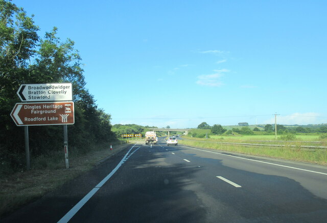
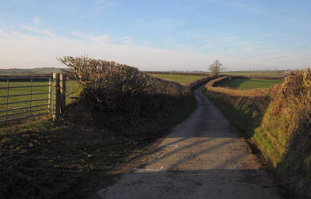
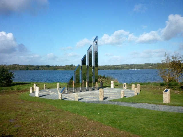
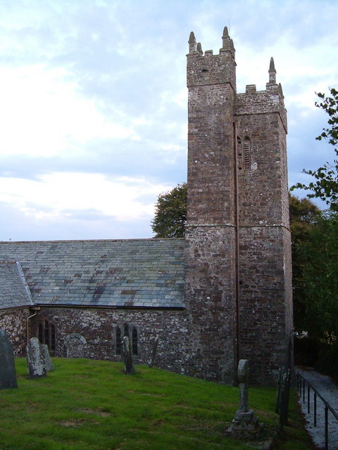
Images are sourced within 2km of 50.677781/-4.2455279 or Grid Reference SX4188. Thanks to Geograph Open Source API. All images are credited.

The A30 west approaching Stowford Cross junction
The A30 west at Stowford Cross junction
Buttercup field Looking across a field of buttercups towards Rexon and Broadwoodwidger from a lane just off the A30.
Buttercup field
Looking across a field of buttercups towards Rexon and Broadwoodwidger from a lane just off the A30.
Inlet & Headland Roadford Lake As viewed from just north of the Cafe.
Inlet & Headland Roadford Lake
As viewed from just north of the Cafe.
Path along Roadford dam A path, separated from the road by a crash barrier, runs along the top of the  dam. The sign on the left indicates the start of a footpath to Goodacre Wood, although this doesn't appear on the current DCC rights of way map or the 1:25000 map, and I'm not sure whether this would get one as far as the Watersports Centre at Lower Goodacre.

The overflow tower is in <a href="https://www.geograph.org.uk/gridref/SX4290">SX4290</a>.
Path along Roadford dam
A path, separated from the road by a crash barrier, runs along the top of the dam. The sign on the left indicates the start of a footpath to Goodacre Wood, although this doesn't appear on the current DCC rights of way map or the 1:25000 map, and I'm not sure whether this would get one as far as the Watersports Centre at Lower Goodacre. The overflow tower is in SX4290.
Footpath to Goodacre Wood A view of the start of the path shown in <a href="https://www.geograph.org.uk/photo/2800879">SX4190 : Path along Roadford dam</a> from the other direction, with a seat a few metres along the path, and Goodacre Wood in the background..
Footpath to Goodacre Wood
A view of the start of the path shown in SX4190 : Path along Roadford dam from the other direction, with a seat a few metres along the path, and Goodacre Wood in the background..
Promontory, Roadford Lake A low projection into the reservoir southeast of Lower Goodacre, seen from the same spot as <a href="https://www.geograph.org.uk/photo/2801025">SX4290 : Overflow tower, Roadford</a>. A couple of boats are out from the watersports centre, where masts can be seen.
Promontory, Roadford Lake
A low projection into the reservoir southeast of Lower Goodacre, seen from the same spot as SX4290 : Overflow tower, Roadford. A couple of boats are out from the watersports centre, where masts can be seen.
Meadow by Roadford Lake The gate leads into a field crossed by the path indicated in <a href="https://www.geograph.org.uk/photo/2800921">SX4190 : Footpath to Goodacre Wood</a>. On the left is Goodacre Wood.
Meadow by Roadford Lake
The gate leads into a field crossed by the path indicated in SX4190 : Footpath to Goodacre Wood. On the left is Goodacre Wood.
Grass by the road, Goodacre Wood From the spot where <a href="https://www.geograph.org.uk/photo/2801115">SX4190 : Meadow by Roadford Lake</a> was taken. A field boundary of trees runs out from Goodacre Wood to meet the road from the dam. Across the road is Slew Wood.
Grass by the road, Goodacre Wood
From the spot where SX4190 : Meadow by Roadford Lake was taken. A field boundary of trees runs out from Goodacre Wood to meet the road from the dam. Across the road is Slew Wood.
Road across Roadford Dam From the area where <a href="https://www.geograph.org.uk/photo/2801310">SX4190 : Grass by the road, Goodacre Wood</a> was taken, looking in the other direction to where the road crosses the dam.
Road across Roadford Dam
From the area where SX4190 : Grass by the road, Goodacre Wood was taken, looking in the other direction to where the road crosses the dam.
Cottages near Broadwoodwidger A group of cottages on the lane to Broadwoodwidger, just south of where it leaves the road across Roadford Dam.
Cottages near Broadwoodwidger
A group of cottages on the lane to Broadwoodwidger, just south of where it leaves the road across Roadford Dam.
Field near Goodacre By the junction of the lane from Broadwoodwidger and the road that crosses the Roadford Dam. In the distance, across two valleys, is Vennmoor Plantation.
Field near Goodacre
By the junction of the lane from Broadwoodwidger and the road that crosses the Roadford Dam. In the distance, across two valleys, is Vennmoor Plantation.
Cottage and road near Goodacre Rose Cottage is just north of the junction mentioned in <a href="https://www.geograph.org.uk/photo/2801364">SX4190 : Field near Goodacre</a>. Some hedge-trimming and flailing work is taking place opposite.
Cottage and road near Goodacre
Rose Cottage is just north of the junction mentioned in SX4190 : Field near Goodacre. Some hedge-trimming and flailing work is taking place opposite.
Sheds at Buddle These sheds on either side of the lane can be seen in <a href="https://www.geograph.org.uk/photo/2802791">SX4089 : Buildings at Buddle</a>.
Sheds at Buddle
These sheds on either side of the lane can be seen in SX4089 : Buildings at Buddle.
Lane near Nethercott The lane runs along a ridge between two arms of a tributary of the River Wolf.
Lane near Nethercott
The lane runs along a ridge between two arms of a tributary of the River Wolf.
Diamond Jubilee Sundial, Roadford Lake HRH The Earl of Wessex visited Roadford Lake to accept the new Jubilee Sundial on behalf of Her Majesty The Queen. The County of Devon commemorated HM The Queen's Diamond Jubilee with a striking 6m stainless steel sundial at Roadford Lake, near Lifton.
Diamond Jubilee Sundial, Roadford Lake
HRH The Earl of Wessex visited Roadford Lake to accept the new Jubilee Sundial on behalf of Her Majesty The Queen. The County of Devon commemorated HM The Queen's Diamond Jubilee with a striking 6m stainless steel sundial at Roadford Lake, near Lifton.
Show me another place!

West Banbury Wood is located at Grid Ref: SX4188 (Lat: 50.677781, Lng: -4.2455279)

Administrative County: Devon

District: Torridge

Police Authority: Devon and Cornwall

What 3 Words

///townhouse.promoting.parrot. Near Lifton, Devon

Related Wikis

Broadwoodwidger

Broadwoodwidger is a village and civil parish in the Torridge district of Devon, England. According to the 2001 census it had a population of 548. The...

Hayne, Stowford

Hayne in the parish of Stowford in Devon, is an historic manor, about 11 miles (18 km) south-west of Okehampton. The surviving manor house, a Grade II...

Dingles Fairground Heritage Centre

Dingles Fairground Museum, formerly known as Dingles Steam Village and Fairground Heritage Centre, is a museum that features a collection of historical...

Stowford

Stowford is a village and civil parish in the district of West Devon in the English county of Devon. It is situated to the west of Dartmoor. Stowford is...

Nearby Amenities

Located within 500m of 50.677781,-4.2455279
Broadwoodwidger
Created By: Potlatch 0.10f
Place: village
Lat/Long: 50.6804422/-4.2504491
Post Box
Brand: Royal Mail
Brand Wikidata: Q638098
Brand Wikipedia: en:Royal Mail
Collection Times: Mo-Sa 10:15; Su off
Drive Through: no
Operator: Royal Mail
Operator Wikidata: Q638098
Post Box Design: type_b
Post Box Mounting: building
Post Box Type: wall
Ref: PL16 141
Royal Cypher: GVIR
Royal Cypher Wikidata: Q33102169
Source: survey;streetlevel imagery;aerial imagery
Lat/Long: 50.6754514/-4.2467014
Direction: SW
Generator Method: photovoltaic
Generator Output Electricity: yes
Generator Solar Modules: 16
Generator Source: solar
Generator Type: solar_photovoltaic_panel
Location: roof
Power: generator
Lat/Long: 50.6757466/-4.2471345
Addr City: Broadwoodwidger
Addr Housename: Higherfield Barn
Addr Postcode: PL16 0JH
Source Addr Postcode: code-point_open
Lat/Long: 50.6800782/-4.2514847
Defibrillator
Defibrillator Location: Wall
Emergency: defibrillator
Indoor: no
Lat/Long: 50.6805957/-4.2498923
Cross
Historic: monument
Material: stone
Lat/Long: 50.6803568/-4.2501521
Addr City: Broadwoodwidger
Addr Housename: Hillside
Addr Street: Church Terrace
Lat/Long: 50.6798746/-4.2491478
Addr City: Broadwoodwidger
Addr Housename: Church House
Addr Postcode: PL16 0JP
Source Addr Postcode: code-point_open
Lat/Long: 50.6807245/-4.250775
Post Box
Access: private
Lat/Long: 50.6806223/-4.2507517
Addr City: Broadwoodwidger
Addr Housenumber: 4
Addr Street: Church Terrace
Lat/Long: 50.6803059/-4.2492533
Addr City: Broadwoodwidger
Addr Housename: Orchard Way
Lat/Long: 50.6800111/-4.2508125
Addr City: Broadwoodwidger
Addr Housename: Church Cottage
Lat/Long: 50.6806093/-4.2507063
Addr City: Broadwoodwidger
Addr Housename: Church Town Farm
Lat/Long: 50.6800389/-4.2511537
Generator Method: solar
Generator Type: solar_photovoltaic_panel
Power: generator
Lat/Long: 50.6802829/-4.2511187
Addr City: Broadwoodwidger
Addr Housenumber: 3
Addr Street: Church Terrace
Lat/Long: 50.6802855/-4.2493746
Addr City: Broadwoodwidger
Addr Housenumber: 2
Addr Street: Church Terrace
Lat/Long: 50.6802617/-4.2495097
Addr City: Broadwoodwidger
Addr Housename: Tehidy
Lat/Long: 50.6797848/-4.2504937
Toilets
Lat/Long: 50.6801719/-4.2507577
Community Centre
Broadwoodwidger Community Hub
Addr City: Broadwoodwidger
Addr Housename: Community Hub
Lat/Long: 50.680248/-4.2507888
Addr City: Broadwoodwidger
Addr Housenumber: 1
Addr Street: Church Terrace
Lat/Long: 50.6802509/-4.2496188
Addr City: Broadwoodwidger
Addr Housename: The Hayloft
Lat/Long: 50.6798418/-4.2517471
Addr City: Broadwoodwidger
Addr Housename: Oakleigh
Lat/Long: 50.6802399/-4.25027
Addr City: Broadwoodwidger
Addr Housename: Lane’s End
Addr Street: Church Terrace
Lat/Long: 50.6801029/-4.2497504
Defibrillator
Emergency: defibrillator
Lat/Long: 50.6802364/-4.2507474
The data included in this document is from www.openstreetmap.org. The data is made available under ODbL.

Have you been to West Banbury Wood?

Leave your review of West Banbury Wood below (or comments, questions and feedback).