Rexon Cross

Settlement in Devon Torridge

England

Rexon Cross

The A30 west approaching Stowford Cross junction
The A30 west approaching Stowford Cross junction Credit: Roy Hughes

Rexon Cross is a small village located in the county of Devon, England. Situated in the heart of the picturesque countryside, this rural settlement offers a tranquil and idyllic setting for residents and visitors alike. With a population of around 500 people, Rexon Cross exudes a close-knit community feel.

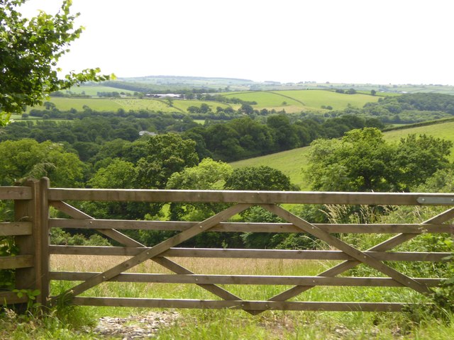
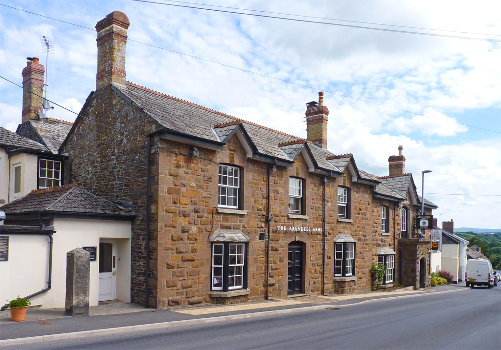
The village is characterized by its charming thatched cottages and traditional architecture, which add to its quintessential English countryside charm. The surrounding landscape is dominated by rolling hills, lush green fields, and meandering streams, providing stunning views and ample opportunities for outdoor activities.

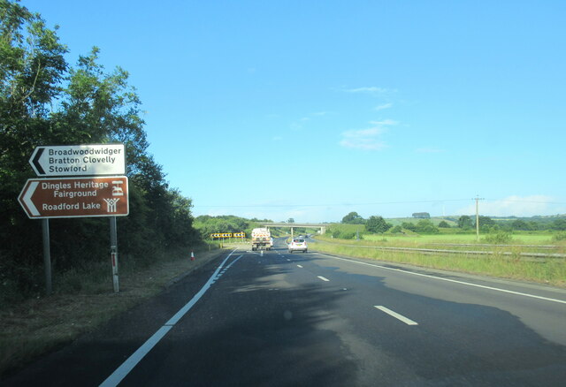
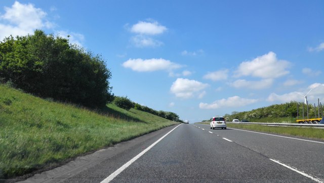
Despite its small size, Rexon Cross boasts a range of amenities to cater to the needs of its residents. These include a local pub, a village hall, a primary school, and a post office, ensuring that daily essentials are easily accessible within the community. Additionally, the village is well-connected to the nearby towns of Devon through a network of well-maintained roads.

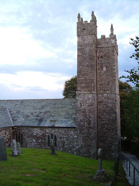
Rexon Cross is also renowned for its rich history, with evidence of human habitation dating back to ancient times. The area is dotted with archaeological sites, including burial mounds and remnants of ancient settlements, which have attracted the attention of historians and archaeologists.

Overall, Rexon Cross is a charming and welcoming village that offers a peaceful retreat from the hustle and bustle of modern life. Its stunning natural surroundings, strong community spirit, and historical significance make it a desirable place to live or visit in Devon.

If you have any feedback on the listing, please let us know in the comments section below.

Rexon Cross Images

Images are sourced within 2km of 50.669896/-4.2514212 or Grid Reference SX4188. Thanks to Geograph Open Source API. All images are credited.

The A30 west approaching Stowford Cross junction
The A30 west at Stowford Cross junction
Buttercup field Looking across a field of buttercups towards Rexon and Broadwoodwidger from a lane just off the A30.
Buttercup field
Looking across a field of buttercups towards Rexon and Broadwoodwidger from a lane just off the A30.
Bridge over A30 and road to Rexon Cross The lorry is entering the on slip for eastbound traffic
Bridge over A30 and road to Rexon Cross
The lorry is entering the on slip for eastbound traffic
The road to Rexon Cross Broadwoodwidger is on the skyline ahead
The road to Rexon Cross
Broadwoodwidger is on the skyline ahead
Rexon Cross road junction There are four roads meeting here, but they are staggered as two junctions
Rexon Cross road junction
There are four roads meeting here, but they are staggered as two junctions
Houses at Rexon Cross
Bridge over River Wolf near Broadwoodwidger
Road to Broadwoodwidger
Valley of River Wolf from Broadwoodwidger
Broadwoodwidger village
Road junction north of Broadwoodwidger The sign upright describes this as Broadwoodwidger, though it is north of the village
Road junction north of Broadwoodwidger
The sign upright describes this as Broadwoodwidger, though it is north of the village
Passing place north of Broadwoodwidger Along a narrow road between Broadwoodwidger and Roadford Lake
Passing place north of Broadwoodwidger
Along a narrow road between Broadwoodwidger and Roadford Lake
Old Wayside Cross - moved to Broadwoodwidger churchyard Buddle Cross, old head, shaft and base, by the footpath, in parish of Broadwoodwidger (Torridge District), near the Southwest corner of the church, close to the tower, under trees.

Grade II listed.
List Entry Number: 1164985 <span class="nowrap"><a title="https://historicengland.org.uk/listing/the-list/list-entry/1164985" rel="nofollow ugc noopener" href="https://historicengland.org.uk/listing/the-list/list-entry/1164985">Link</a><img style="margin-left:2px;" alt="External link" title="External link - shift click to open in new window" src="https://s1.geograph.org.uk/img/external.png" width="10" height="10"/></span>

Surveyed

Milestone Society National ID: DVTR_BRO
Old Wayside Cross - moved to Broadwoodwidger churchyard
Buddle Cross, old head, shaft and base, by the footpath, in parish of Broadwoodwidger (Torridge District), near the Southwest corner of the church, close to the tower, under trees. Grade II listed. List Entry Number: 1164985 LinkExternal link Surveyed Milestone Society National ID: DVTR_BRO
A30 near Higher & Lower Cookworthy A Main road to Cornwall.
A30 near Higher & Lower Cookworthy
A Main road to Cornwall.
Knaphill Plantation seen from the A30 This beautiful group of trees has iconic status for people living in Cornwall. It is beside the A30 on the eastward side of the county boundary with Devon and on the long journey home the trees are a sign that the journey has nearly ended.  There has been much controversy of late (2016) when a wind turbine has been erected which looms above the trees when viewed from the east, ruining the vista.  It can't be seen in this picture, which is looking southwards.
Knaphill Plantation seen from the A30
This beautiful group of trees has iconic status for people living in Cornwall. It is beside the A30 on the eastward side of the county boundary with Devon and on the long journey home the trees are a sign that the journey has nearly ended. There has been much controversy of late (2016) when a wind turbine has been erected which looms above the trees when viewed from the east, ruining the vista. It can't be seen in this picture, which is looking southwards.
Passing Knaphill Plantation Viewed from the M5 the iconic plantation of trees that signifies that you are approaching Cornwall. The trees looked unmoved by the high winds of Storm Hannah that were passing through.
Passing Knaphill Plantation
Viewed from the M5 the iconic plantation of trees that signifies that you are approaching Cornwall. The trees looked unmoved by the high winds of Storm Hannah that were passing through.
Farmland near Cross Green
Show me another place!

Rexon Cross is located at Grid Ref: SX4188 (Lat: 50.669896, Lng: -4.2514212)

Administrative County: Devon

District: Torridge

Police Authority: Devon and Cornwall

What 3 Words

///evolution.snooty.spillage. Near Lifton, Devon

Related Wikis

Broadwoodwidger

Broadwoodwidger is a village and civil parish in the Torridge district of Devon, England. According to the 2001 census it had a population of 548. The...

Dingles Fairground Heritage Centre

Dingles Fairground Museum, formerly known as Dingles Steam Village and Fairground Heritage Centre, is a museum that features a collection of historical...

Hayne, Stowford

Hayne in the parish of Stowford in Devon, is an historic manor, about 11 miles (18 km) south-west of Okehampton. The surviving manor house, a Grade II...

River Wolf

The River Wolf is a minor river in the west of the county of Devon in England. Its name may come from a Celtic or earlier name recorded by the Roman map...

Stowford

Stowford is a village and civil parish in the district of West Devon in the English county of Devon. It is situated to the west of Dartmoor. Stowford is...

Lifton, Devon

Lifton is a village and civil parish in Devon, South West England near the confluence of the rivers Wolf and Lyd, 1ΒΌ miles south of the A30 trunk road...

Thrushelton

Thrushelton or Thruselton is a village and civil parish about 2 and a half miles north of Coryton railway station, in the West Devon district, in the county...

Sydenham House, Devon

Sydenham House (anciently Sidelham, Sidraham, etc.) in the parish of Marystow in Devon, England, is a seventeenth-century manor house. The Grade I listed...

Nearby Amenities

Located within 500m of 50.669896,-4.2514212
Parking
Access: yes
Fee: no
Note: Layby
Parking: surface
Source: survey
Lat/Long: 50.6677404/-4.250906
Phone
Emergency: phone
Source: survey
Lat/Long: 50.6675688/-4.2517302
Phone
Emergency: phone
Source: survey
Lat/Long: 50.6688902/-4.2483711
Parking
Access: yes
Fee: no
Parking: surface
Source: survey
Lat/Long: 50.6686538/-4.2492596
The data included in this document is from www.openstreetmap.org. The data is made available under ODbL.

Have you been to Rexon Cross?

Leave your review of Rexon Cross below (or comments, questions and feedback).