Rexon

Settlement in Devon Torridge

England

Rexon

The A30 west approaching Stowford Cross junction
The A30 west approaching Stowford Cross junction Credit: Roy Hughes

Rexon is a small village located in the county of Devon, England. Situated in the South West region of the country, it lies approximately 8 miles northeast of the city of Exeter. The village is nestled within the picturesque landscape of the Exe Valley, surrounded by rolling hills and lush countryside.

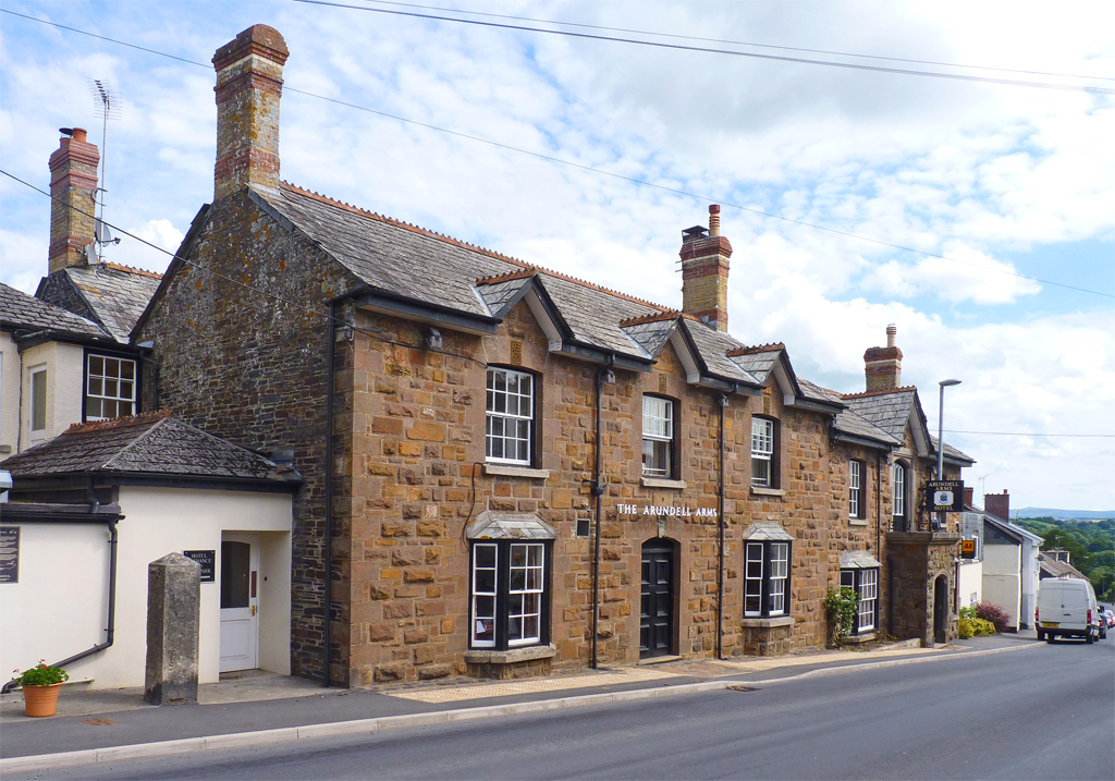
Rexon is known for its charming and idyllic setting, making it a popular destination for nature enthusiasts and those seeking a peaceful retreat. The village is characterized by its quaint thatched-roof cottages, traditional architecture, and a sense of tranquility that permeates the atmosphere.

Despite its small size, Rexon offers a few amenities to cater to its residents and visitors. The village boasts a local pub, providing a cozy spot for socializing and enjoying traditional British fare. Additionally, there is a small convenience store for essential supplies, ensuring that basic needs are met within the village itself.

The surrounding area of Rexon offers ample opportunities for outdoor activities. The nearby Exe Valley Way, a long-distance footpath, provides stunning views of the rolling countryside and the River Exe. The village is also situated close to Dartmoor National Park, offering further exploration possibilities for hikers, cyclists, and nature lovers.

Overall, Rexon, Devon, presents a charming and peaceful retreat for those looking to immerse themselves in the natural beauty and tranquility of the English countryside.

If you have any feedback on the listing, please let us know in the comments section below.
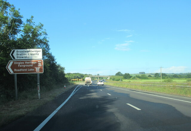
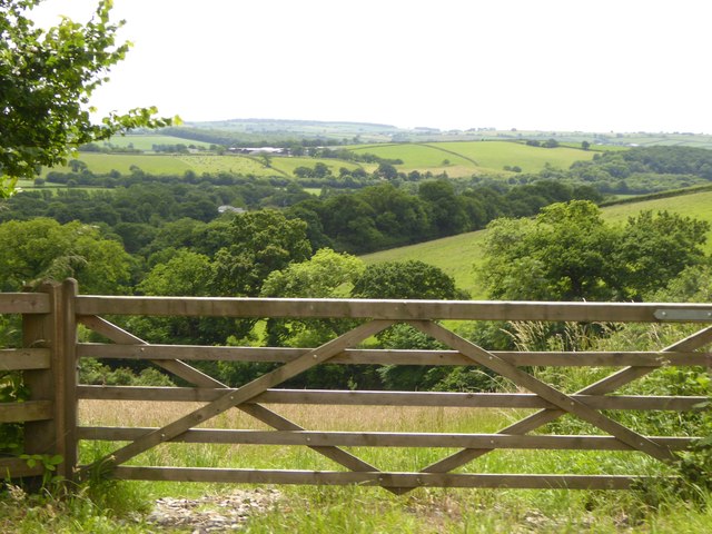
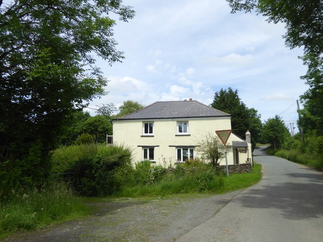
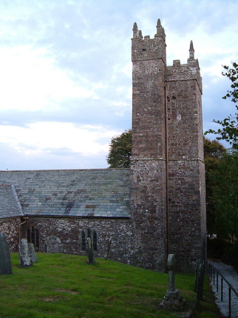
Rexon Images

Images are sourced within 2km of 50.672361/-4.251041 or Grid Reference SX4188. Thanks to Geograph Open Source API. All images are credited.

The A30 west approaching Stowford Cross junction
The A30 west at Stowford Cross junction
Buttercup field Looking across a field of buttercups towards Rexon and Broadwoodwidger from a lane just off the A30.
Buttercup field
Looking across a field of buttercups towards Rexon and Broadwoodwidger from a lane just off the A30.
Cottages near Broadwoodwidger A group of cottages on the lane to Broadwoodwidger, just south of where it leaves the road across Roadford Dam.
Cottages near Broadwoodwidger
A group of cottages on the lane to Broadwoodwidger, just south of where it leaves the road across Roadford Dam.
Sheds at Buddle These sheds on either side of the lane can be seen in <a href="https://www.geograph.org.uk/photo/2802791">SX4089 : Buildings at Buddle</a>.
Sheds at Buddle
These sheds on either side of the lane can be seen in SX4089 : Buildings at Buddle.
Bridge over A30 and road to Rexon Cross The lorry is entering the on slip for eastbound traffic
Bridge over A30 and road to Rexon Cross
The lorry is entering the on slip for eastbound traffic
The road to Rexon Cross Broadwoodwidger is on the skyline ahead
The road to Rexon Cross
Broadwoodwidger is on the skyline ahead
Rexon Cross road junction There are four roads meeting here, but they are staggered as two junctions
Rexon Cross road junction
There are four roads meeting here, but they are staggered as two junctions
Houses at Rexon Cross
Bridge over River Wolf near Broadwoodwidger
Road to Broadwoodwidger
Valley of River Wolf from Broadwoodwidger
Broadwoodwidger village
Road junction north of Broadwoodwidger The sign upright describes this as Broadwoodwidger, though it is north of the village
Road junction north of Broadwoodwidger
The sign upright describes this as Broadwoodwidger, though it is north of the village
Passing place north of Broadwoodwidger Along a narrow road between Broadwoodwidger and Roadford Lake
Passing place north of Broadwoodwidger
Along a narrow road between Broadwoodwidger and Roadford Lake
Approaching Park Cottage from the south Before the construction of Roadford Lake (reservoir) Park Cottage was a point where tracks from left and right met the north-south road.  Now it marks the junction of the road with one from the dam, and the track on the left remains
Approaching Park Cottage from the south
Before the construction of Roadford Lake (reservoir) Park Cottage was a point where tracks from left and right met the north-south road. Now it marks the junction of the road with one from the dam, and the track on the left remains
Power station below Roadford Dam
The slope of Roadford Dam
Show me another place!

Rexon is located at Grid Ref: SX4188 (Lat: 50.672361, Lng: -4.251041)

Administrative County: Devon

District: Torridge

Police Authority: Devon and Cornwall

What 3 Words

///chicken.towel.sonic. Near Lifton, Devon

Related Wikis

Broadwoodwidger

Broadwoodwidger is a village and civil parish in the Torridge district of Devon, England. According to the 2001 census it had a population of 548. The...

Dingles Fairground Heritage Centre

Dingles Fairground Museum, formerly known as Dingles Steam Village and Fairground Heritage Centre, is a museum that features a collection of historical...

Hayne, Stowford

Hayne in the parish of Stowford in Devon, is an historic manor, about 11 miles (18 km) south-west of Okehampton. The surviving manor house, a Grade II...

River Wolf

The River Wolf is a minor river in the west of the county of Devon in England. Its name may come from a Celtic or earlier name recorded by the Roman map...

Stowford

Stowford is a village and civil parish in the district of West Devon in the English county of Devon. It is situated to the west of Dartmoor. Stowford is...

Thrushelton

Thrushelton or Thruselton is a village and civil parish about 2 and a half miles north of Coryton railway station, in the West Devon district, in the county...

Lifton, Devon

Lifton is a village and civil parish in Devon, South West England near the confluence of the rivers Wolf and Lyd, 1ΒΌ miles south of the A30 trunk road...

Tower Hill railway station (Devon)

Tower Hill railway station was a railway station that served a rural district being named after a local farm, near the River Carey, Devon, England. It...

Nearby Amenities

Located within 500m of 50.672361,-4.251041
Phone
Emergency: phone
Source: survey
Lat/Long: 50.6688902/-4.2483711
Parking
Access: yes
Fee: no
Parking: surface
Source: survey
Lat/Long: 50.6686538/-4.2492596
Post Box
Brand: Royal Mail
Brand Wikidata: Q638098
Brand Wikipedia: en:Royal Mail
Collection Times: Mo-Sa 10:15; Su off
Drive Through: no
Operator: Royal Mail
Operator Wikidata: Q638098
Post Box Design: type_b
Post Box Mounting: building
Post Box Type: wall
Ref: PL16 141
Royal Cypher: GVIR
Royal Cypher Wikidata: Q33102169
Source: survey;streetlevel imagery;aerial imagery
Lat/Long: 50.6754514/-4.2467014
Direction: SW
Generator Method: photovoltaic
Generator Output Electricity: yes
Generator Solar Modules: 16
Generator Source: solar
Generator Type: solar_photovoltaic_panel
Location: roof
Power: generator
Lat/Long: 50.6757466/-4.2471345
The data included in this document is from www.openstreetmap.org. The data is made available under ODbL.

Have you been to Rexon?

Leave your review of Rexon below (or comments, questions and feedback).