Gypsy Lane Wood
Wood, Forest in Devon Torridge
England
Gypsy Lane Wood

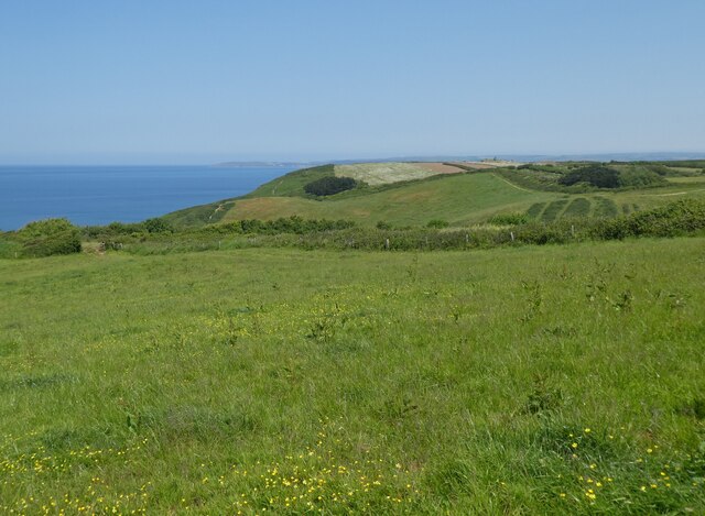
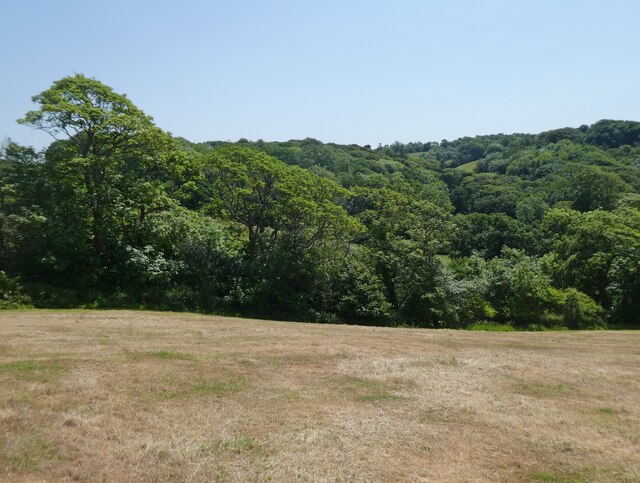
Gypsy Lane Wood is a charming woodland located in Devon, England. Situated near the village of Woodbury, this enchanting forest covers an area of approximately 100 acres. The wood is known for its diverse range of tree species, including oak, beech, ash, and birch, which create a picturesque canopy overhead.
One of the main attractions of Gypsy Lane Wood is its tranquil atmosphere, providing visitors with a peaceful retreat away from the hustle and bustle of daily life. The forest is a haven for wildlife, home to a variety of bird species such as woodpeckers, owls, and nuthatches, as well as small mammals like squirrels and badgers.
The wood offers several well-maintained walking trails, allowing visitors to explore its beauty at their own pace. The paths wind through the trees, leading to a small stream that adds to the woodland's charm. Along the way, there are benches and picnic spots, providing opportunities for relaxation and enjoying the natural surroundings.
Gypsy Lane Wood is popular among nature enthusiasts, photographers, and families looking for a day out in nature. The wood also attracts botanists and nature researchers, as it is home to a rich variety of plant species, including bluebells and wild garlic, which create a stunning display during the spring months.
Overall, Gypsy Lane Wood is a delightful destination for those seeking a tranquil escape amidst nature's beauty. With its diverse flora and fauna, well-maintained trails, and serene atmosphere, it offers a unique experience for visitors of all ages.
If you have any feedback on the listing, please let us know in the comments section below.
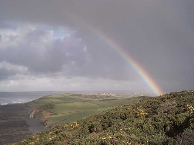
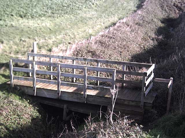
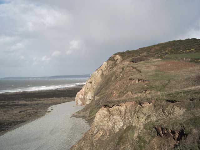
Gypsy Lane Wood Images
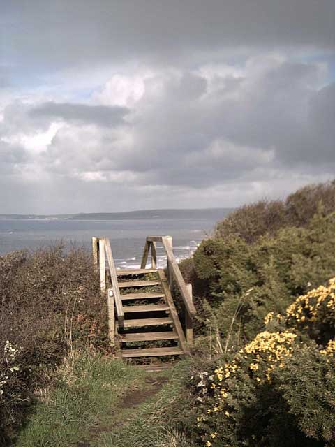
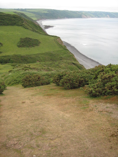
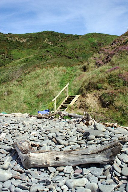
Images are sourced within 2km of 51.008176/-4.261082 or Grid Reference SS4125. Thanks to Geograph Open Source API. All images are credited.


Gypsy Lane Wood is located at Grid Ref: SS4125 (Lat: 51.008176, Lng: -4.261082)
Administrative County: Devon
District: Torridge
Police Authority: Devon and Cornwall
What 3 Words
///feelers.scanner.described. Near Bideford, Devon
Nearby Locations
Related Wikis

Alwington
Alwington is a village and civil parish in the Torridge district of Devon, England. The parish is on the coast and includes the hamlets of Alwington, Fairy...

The Big Sheep
The Big Sheep is an amusement farm park located in Abbotsham, Devon, England. The site was originally Barton Farm, a busy sheep farm owned by six generations...
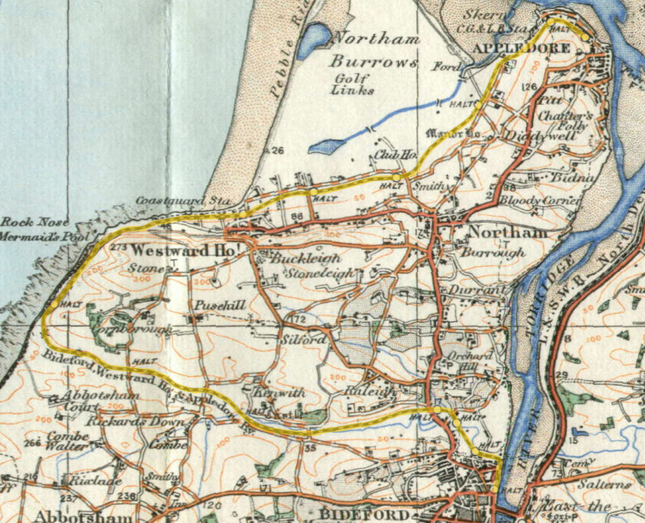
Abbotsham Road railway station
Abbotsham Road railway station was a small railway station on the independent Bideford, Westward Ho! and Appledore Railway in the English county of Devon...
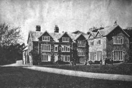
Portledge Manor
Portledge Manor is an English manor house in the parish of Alwington, southwest of Bideford, Devon. It and the land surrounding it belonged to the Coffin...
Have you been to Gypsy Lane Wood?
Leave your review of Gypsy Lane Wood below (or comments, questions and feedback).