Abbots Bickington Wood

Wood, Forest in Devon Torridge

England

Abbots Bickington Wood

W Sanders & Sons Gulf Garage on the A388
W Sanders & Sons Gulf Garage on the A388 Credit: Roy Hughes

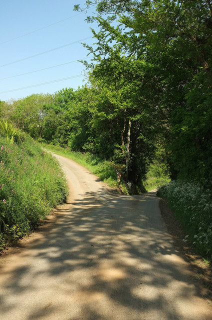
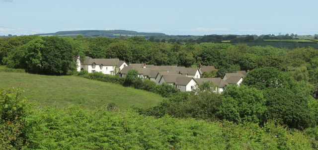
Abbots Bickington Wood is a picturesque woodland located in Devon, England. Covering an area of approximately 100 acres, it is a peaceful haven for nature enthusiasts and a popular destination for outdoor activities.

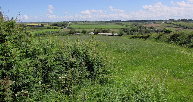
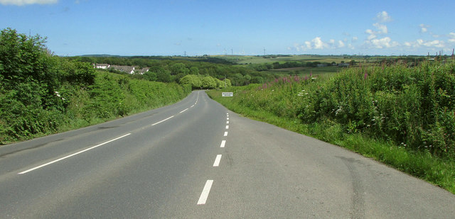
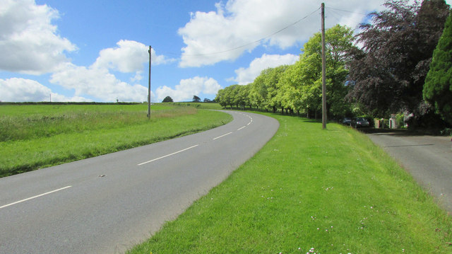
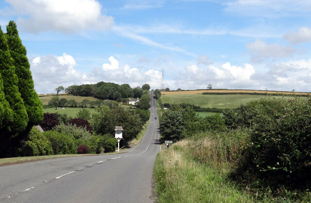
The wood is situated in the heart of the beautiful countryside, offering visitors stunning views of rolling hills and meandering streams. It is predominantly composed of native deciduous trees such as oak, beech, and birch, creating a diverse and vibrant ecosystem. The dense canopy provides ample shade, making it an ideal spot for a leisurely stroll on a hot summer's day.

Abbots Bickington Wood is home to a wide variety of flora and fauna. Wildflowers such as bluebells, primroses, and wood anemones carpet the forest floor during spring, creating a colorful spectacle. The wood also supports a rich bird population, with species like woodpeckers, nuthatches, and tawny owls often spotted among the branches.

Visitors to Abbots Bickington Wood can enjoy a range of activities. The well-maintained footpaths and trails provide opportunities for walking, jogging, and cycling, allowing visitors to explore the wood at their own pace. Additionally, the wood offers designated picnic areas, where families and friends can relax and enjoy a meal surrounded by nature.

The wood is managed by the local council, who ensure its conservation and protection. They organize regular events and guided walks to educate visitors about the importance of sustainable woodland management and the diverse wildlife that thrives within its boundaries.

Overall, Abbots Bickington Wood is a tranquil and enchanting destination for nature lovers, offering a perfect escape from the hustle and bustle of everyday life.

If you have any feedback on the listing, please let us know in the comments section below.

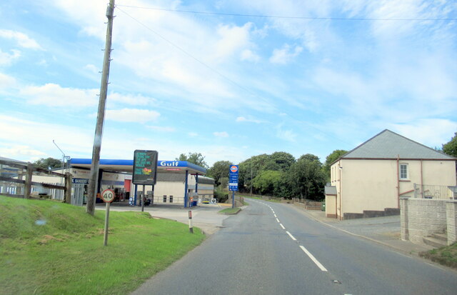
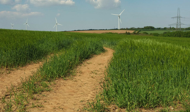
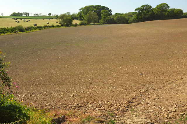
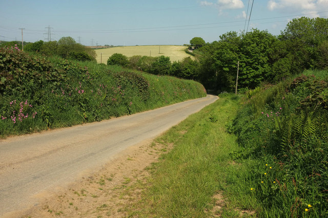
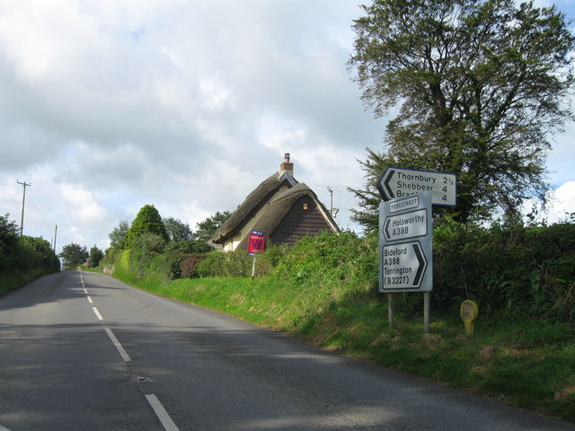
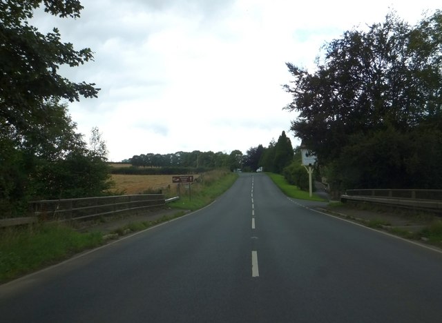
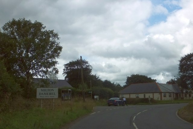
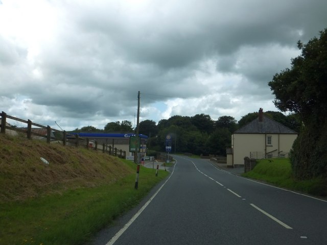
Abbots Bickington Wood Images

Images are sourced within 2km of 50.892166/-4.2828023 or Grid Reference SS3912. Thanks to Geograph Open Source API. All images are credited.

W Sanders & Sons Gulf Garage on the A388
Barley near Bulkworthy With wind turbines in <a href="https://www.geograph.org.uk/gridref/SS4015">SS4015</a>; the nearest is on Eastacott Moor.
Barley near Bulkworthy
With wind turbines in SS4015; the nearest is on Eastacott Moor.
Tilled field northeast of Bulkworthy Looking to the left from where <a href="https://www.geograph.org.uk/photo/5803668">SS4014 : Tilled field northeast of Bulkworthy</a> was taken, showing the lower part of the field where it borders a stream and a small wood.
Tilled field northeast of Bulkworthy
Looking to the left from where SS4014 : Tilled field northeast of Bulkworthy was taken, showing the lower part of the field where it borders a stream and a small wood.
Lane from Bulkworthy <a href="https://www.geograph.org.uk/photo/5790627">SS3914 : Barley near Bulkworthy</a> was taken across the lane from here. As the lane drops into the wooded valley of Cleave Lake, it forks. The two branches both lead up to the road between Thorne Moor and Downmoor Cross.
Lane from Bulkworthy
SS3914 : Barley near Bulkworthy was taken across the lane from here. As the lane drops into the wooded valley of Cleave Lake, it forks. The two branches both lead up to the road between Thorne Moor and Downmoor Cross.
Fork in the lane from Bulkworthy The right fork drops quickly to cross Cleave Lake and climb steeply up the far valley side, while the left fork briefly follows the stream through woodland.
Fork in the lane from Bulkworthy
The right fork drops quickly to cross Cleave Lake and climb steeply up the far valley side, while the left fork briefly follows the stream through woodland.
A388 at Woodford Bridge From the entrance to Woodford Bridge Country Club, with the main road swooping down to cross the River Torridge.
A388 at Woodford Bridge
From the entrance to Woodford Bridge Country Club, with the main road swooping down to cross the River Torridge.
A388 at Woodford Bridge A detail of the scene in <a href="https://www.geograph.org.uk/photo/6192625">SS3912 : A388 at Woodford Bridge</a>. The crossroads partway up the hill is across a grid line in <a href="https://www.geograph.org.uk/gridref/SS4012">SS4012</a>.
A388 at Woodford Bridge
A detail of the scene in SS3912 : A388 at Woodford Bridge. The crossroads partway up the hill is across a grid line in SS4012.
West Bridge Farm Or is it Woodland View? Maps differ. This view of it is from a gateway by a lay-by on the A388. Beyond is the Torridge valley.
West Bridge Farm
Or is it Woodland View? Maps differ. This view of it is from a gateway by a lay-by on the A388. Beyond is the Torridge valley.
Woodford Bridge Country Club A holiday accommodation development close to the River Torridge.
Woodford Bridge Country Club
A holiday accommodation development close to the River Torridge.
A388 approaching Woodford Bridge Descending past the lay-by where <a href="https://www.geograph.org.uk/photo/6192704">SS3912 : Woodford Bridge Country Club</a> and <a href="https://www.geograph.org.uk/photo/6192699">SS3912 : West Bridge Farm</a> were taken.
A388 approaching Woodford Bridge
Descending past the lay-by where SS3912 : Woodford Bridge Country Club and SS3912 : West Bridge Farm were taken.
A388 near Woodford Bridge Looking in the opposite direction from where <a href="https://www.geograph.org.uk/photo/6192625">SS3912 : A388 at Woodford Bridge</a> was taken. On the right is a road servicing Meadowside Cottage.
A388 near Woodford Bridge
Looking in the opposite direction from where SS3912 : A388 at Woodford Bridge was taken. On the right is a road servicing Meadowside Cottage.
The A338 approaching Woodford Bridge
A388 southwest , Forestreet
Woodford Bridge over River Torridge
Whitebear Cross, Milton Damerel The main road curves to the right.  A minor road leads ahead to Whitebear, and a footpath leads to the left from the lay-by.
Whitebear Cross, Milton Damerel
The main road curves to the right. A minor road leads ahead to Whitebear, and a footpath leads to the left from the lay-by.
Gulf filling station at Horrellsford, Milton Damerel
The farmhouse at Town Farm Bulkworthy
St Michael's Church Bulkworthy Dating from C15 and restored in 1874.  Grade II* Listed <span class="nowrap"><a title="http://list.english-heritage.org.uk/resultsingle.aspx?uid=1104977&searchtype=mapsearch" rel="nofollow ugc noopener" href="http://list.english-heritage.org.uk/resultsingle.aspx?uid=1104977&searchtype=mapsearch">Link</a><img style="margin-left:2px;" alt="External link" title="External link - shift click to open in new window" src="https://s1.geograph.org.uk/img/external.png" width="10" height="10"/></span>
St Michael's Church Bulkworthy
Dating from C15 and restored in 1874. Grade II* Listed LinkExternal link
Show me another place!

Abbots Bickington Wood is located at Grid Ref: SS3912 (Lat: 50.892166, Lng: -4.2828023)

Administrative County: Devon

District: Torridge

Police Authority: Devon and Cornwall

What 3 Words

///meanwhile.collect.warp. Near Holsworthy, Devon

Related Wikis

Abbots Bickington

Abbots Bickington is a village and civil parish in the English county of Devon, located 7.7 mi (12.4 km) north-northeast of Holsworthy and near the River...

Torridge District

Torridge is a local government district in north-west Devon, England. Its council is based in the town of Bideford. The district also includes the towns...

Bulkworthy

Bulkworthy is a village and civil parish in the Torridge district of Devon, England, about 9 miles southwest of Great Torrington, and on the River Torridge...

Newton St Petrock

Newton St Petrock is an ecclesiastical and civil parish in the Torridge district of Devon in England, occupying approximately 1,500 acres (6.1 km2). The...

Milton Damerel

Milton Damerel is a village, parish and former manor in north Devon, England. Situated in the political division of Torridge, on the river Waldon, it covers...

West Putford

West Putford is a small settlement and civil parish in the local government district of Torridge, Devon, England. The parish, which lies about 8.5 miles...

Stibb Cross

Stibb Cross is a small village in north Devon, England. It is included in the civil parish of Langtree and is located about one mile from that village...

Thornbury, Devon

Thornbury is a small village and civil parish in the local government district of Torridge, Devon, England. The parish, which lies about five miles (8...

Nearby Amenities

Located within 500m of 50.892166,-4.2828023
Power: tower
Lat/Long: 50.8958599/-4.2821153
Power: tower
Lat/Long: 50.8944117/-4.2873295
Restaurant
Feather & Hide Bar & Grill
Cuisine: bar&grill;pizza
Diet Non-vegetarian: yes
Diet Vegetarian: yes
Website: https://featherandhidefood.com/fh-bar-grill
Lat/Long: 50.8898451/-4.2786837
Woodford Bridge Hotel
Tourism: hotel
Lat/Long: 50.8897024/-4.2788349
Access: private
Leisure: swimming_pool
Lat/Long: 50.8896406/-4.2802441
Bench
Lat/Long: 50.8895534/-4.2794688
Charging Station
Lat/Long: 50.8894548/-4.2792924
The data included in this document is from www.openstreetmap.org. The data is made available under ODbL.

Have you been to Abbots Bickington Wood?

Leave your review of Abbots Bickington Wood below (or comments, questions and feedback).